There are two different ways to get up to LSG from Forest Falls: either via Camp Creek or via a gully east of Camp Creek. HPS recommends the gully route but the Camp Creek route is described on Summitpost. I took the HPS route and used Travis' GPS track.
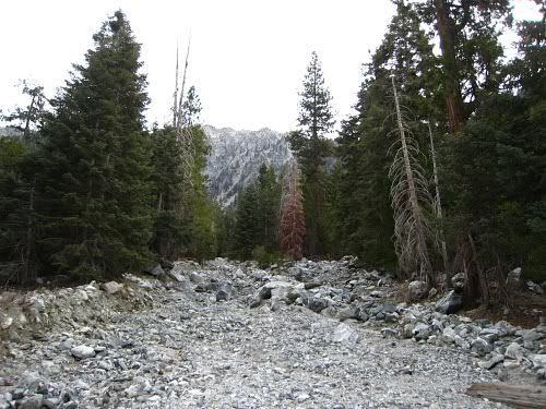
From the parking lot you take the trail east like you normally would to Vivian Creek. At the sign that tells you to cross the creek to reach the VC trail, stay on the trail and keep going straight. This will remain a trail all the way to the gully/wash. The wash is pretty obvious, since it's the first one you run into. But here's a picture of it:
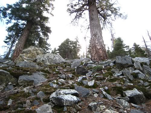
Follow this wash south. The wash might branch off a few times but it will meet back up into a very narrow gully at around 6700 ft. It was at this point that I heard a bunch of loud weird animal noises coming from the northwest. I looked around and behind me was a coyote watching me from about 50 yards away. As I kept an eye on the coyote, I heard more of the same noises but it wasn't the coyote who was just quietly staring at me. After it left, I decided to continue on.
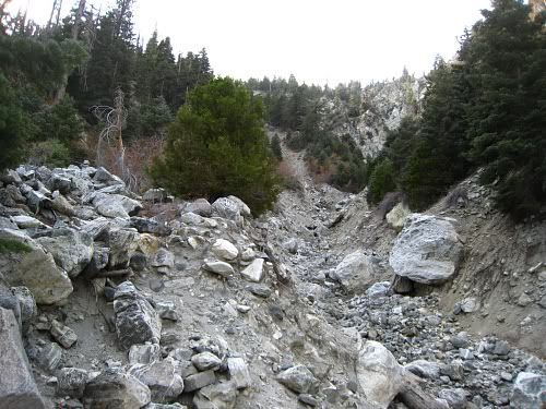
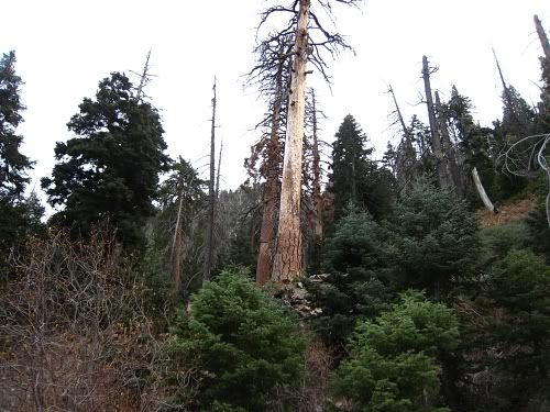
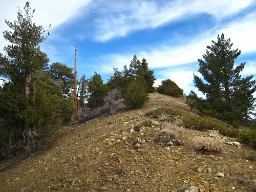
Once you're in the narrow gully, look to your left and you'll see some cairns. After a few of these cairns, look for two very large dead pine trees on your left (see picture below). This is where you need to leave the gully and head up the ridge. If you're still in the gully and you pass the large boulder (see picture above), you've gone too far.
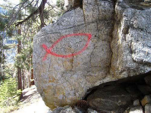
Going up the ridge is straightforward. Just stay directly on top of the ridge. There are gullies on either side of you so you can't really get lost. But there are cairns here and there and even some red/silver reflectors tied to tree branches. Also, the Jesus fish shows you the way.
The climb is very steep. The slope angle is close to 40° but traction is generally good because there are lots of rocks and tree branches/pine needles. Once the ridge broadens out after 7700 ft, things get a little indistinct. I had a GPS track so I knew to turn slightly right (southwest) to pick up the next ridge. If you went straight, you would eventually meet up with this second ridge anyway but the terrain looks very steep and loose where the two meet.
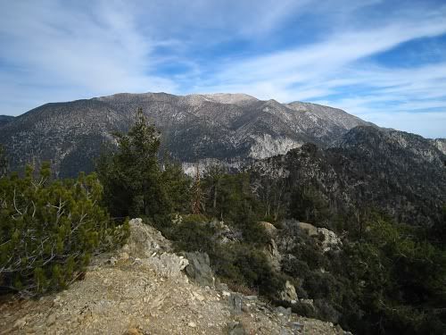
On the second ridge, it's best to stay directly on top of the ridge. It will climb for a bit as you head southeast then you will go down slightly after the 8500' peaklet and the Jesus fish. From here you will traverse due south until you reach the Yucaipa Ridge and the 8520' saddle. Then go west up the ridge to LSG. After reaching the peak, I continued west on the Yucaipa Ridge to the radio/TV antenna farm then turned around. I didn't see anyone else on route the entire time.
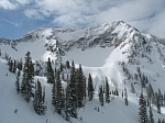
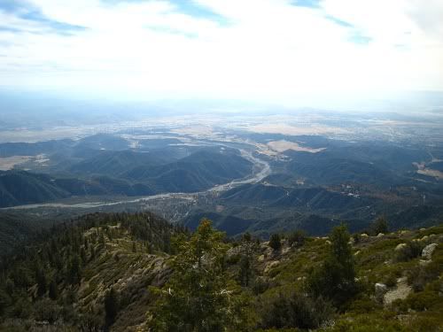
The views from the Yucaipa Ridge are amazing, although today was kind of hazy. I'd like to return another time and explore more of this ridge.
The only problem during the return trip was the point where you're supposed to leave the ridge and get back into the gully (around 6800'). I missed this turn while descending rapidly. After I realized the mistake, I thought I could keep going down and pick up the gully at the bottom. Bad idea! The forest gets really thick in this area and there is a big impenetrable grove of buckthorn blocking a traverse over to the gully. It might be possible to bushwhack your way through the dense forest but I didn't want to find out if I couldn't. So I cut my losses, backtracked and got back in the gully.
Times were: 3 hrs up, 1 hr exploring the Yucaipa Ridge, and 2 hours back down. So 6 hours total. I was moving at less than 1 mph but climbing about 1000'/hr. So not too bad, at least for me. I generally climb pretty slowly and on a route like this I stop often to look around or check my position.
Since this a cross-country route, try to tread lightly and keep to the use trail if you find one.
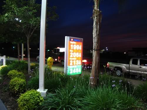
Afterwards I ate at the Hometown Buffet in San Bernardino and filled up for $1.99/gal at the nearby 76 station. Never thought I'd see those prices again. The sunset was really awesome today.