Nice pictures!! What is the trail to Meysan Lake like? I heard that it was damaged a few years ago by flash flooding and was hard to follow in places. Meysan Lake is on my bucket list. Thanks.
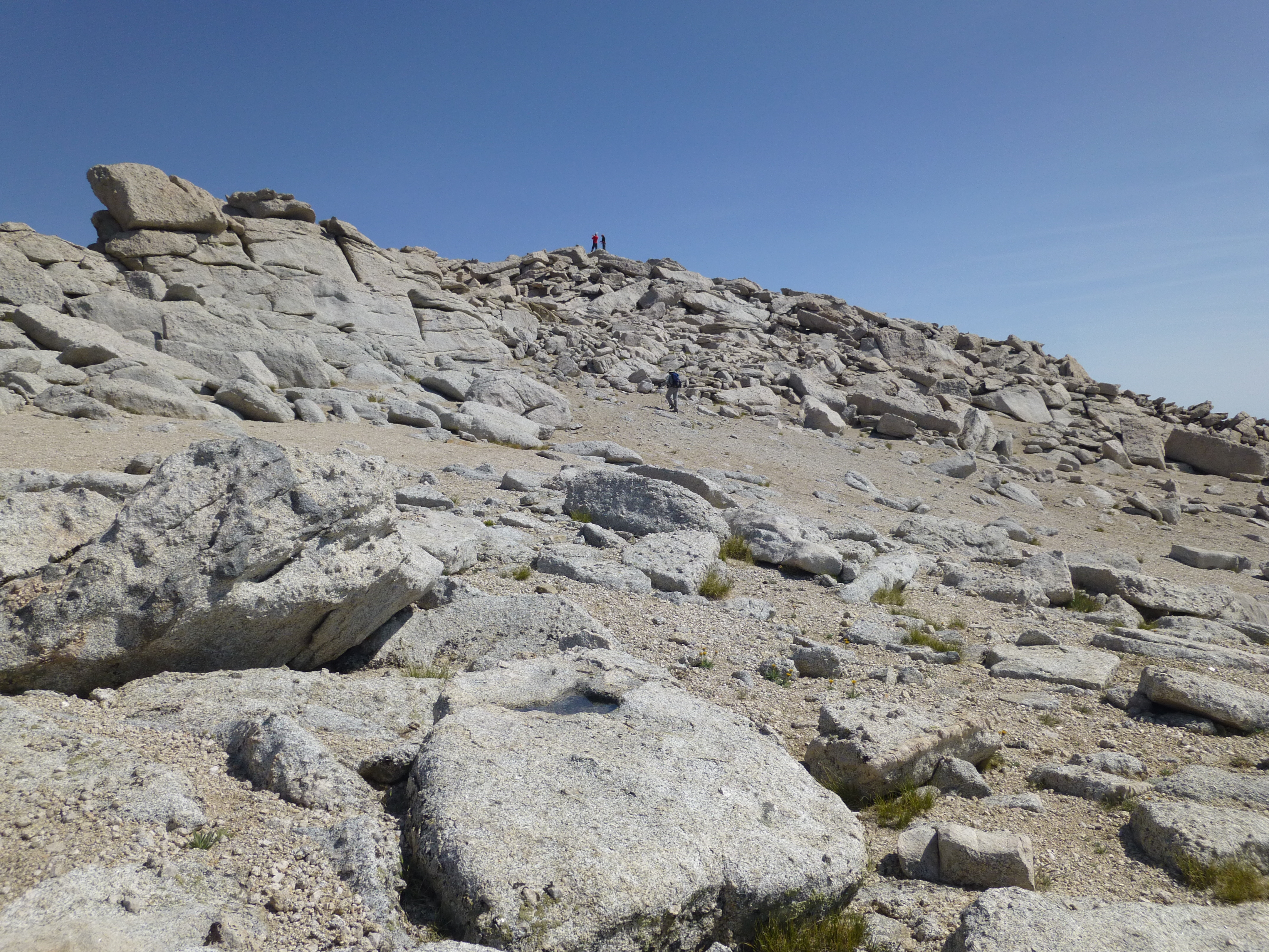
The trail is very nice and easy to follow all the way to Camp Lake. From there it is easy cross-country with a discernible use trail, starting beside the stream feeding Camp Lake, then turning left, crossing the stream and climbing a short distance up a rocky slope to a level area overlooking the Meysan Lake basin. There is also a class 2 shortcut that parallels the stream coming from Meysan Lake. First you walk around Camp Lake on the west side, then begin climbing up the gully on the south side of the lake. You'll come to the Meysan stream and find your own rockclimbing route up to the lake. I recommend staying on the right side of the stream the whole way. It's pretty easy to scramble around that whole area.
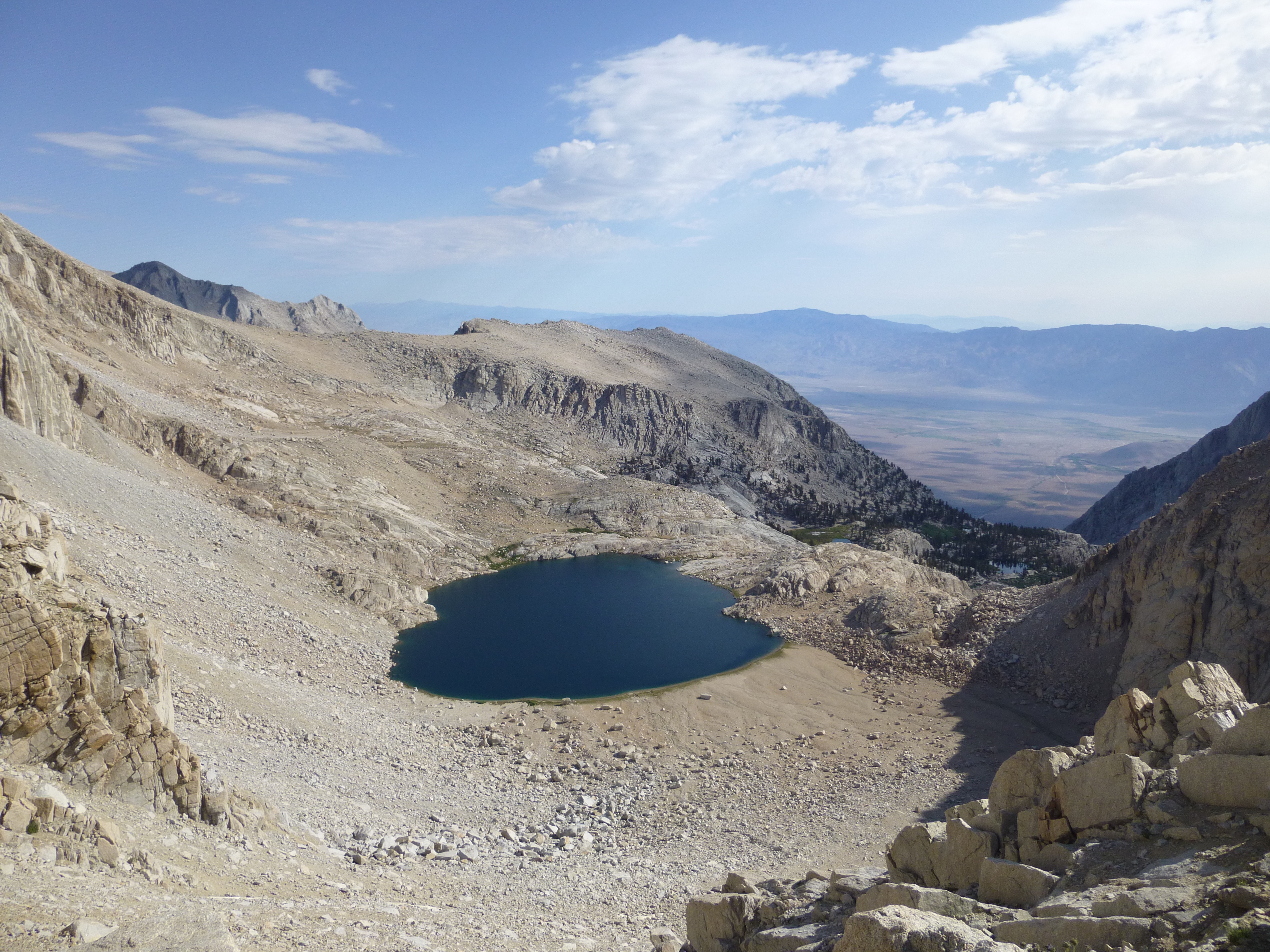
Below are some pictures showing the routes I described from Camp Lake to Meysan Lake. The red line is the use trail option, which puts you on an overlook about 100 feet above the lake. You could then scramble down to it a couple of ways. The blue line is the more challenging cross-country, rock-scrambling route that takes you to the shoreline by following Meysan's outlet stream.
There are some cool side-trip options, including easy scrambles to Grass Lake, Peanut Lake, and the Meysan waterfall. Email me if you want directions to those places.