

1. Ode BM ( SDC #93 )
2. Kay BM ( SDC #59 )
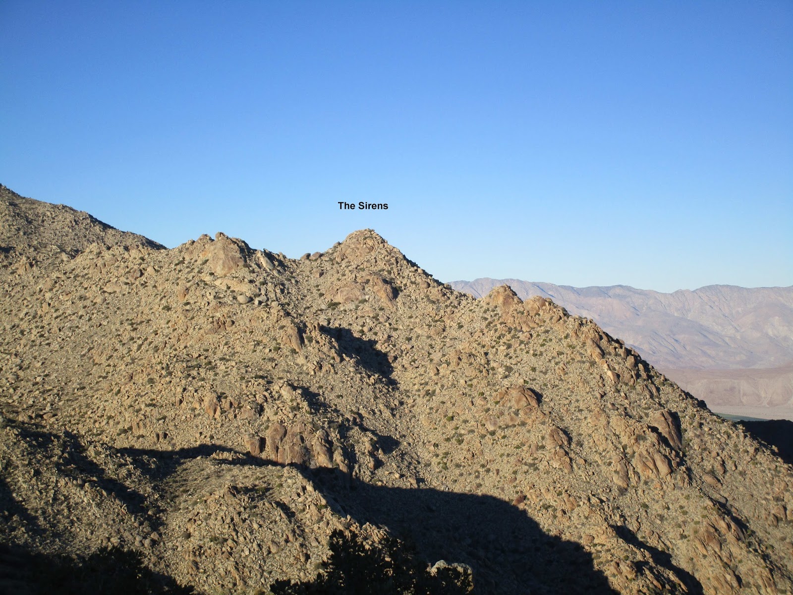
3. The Sirens ( SDC #43 )
4. San Ysidro East ( SDC #21 )
5. Tuck BM
6. Webo BM ( SDC #48 )
7. Ted BM ( SDC #84 )
The loop starts at a turn out on Montezuma Valley Road (S22), goes up one ridge and descends another. I brought pliers to remove cholla needles and had to break them out less than an hour into the hike. Ah, the desert. Ode came and went quickly, then we slogged up about 2000' to hit Kay. On the way, we spotted a group of bighorns that weren't afraid of anything. One was clearly tagged. After a short rest on Kay, we tackled The Sirens, the highest of several large piles of giant boulders. Dima zoomed ahead and found the best class 3 route to the top. Sean and I caught up after climbing the wrong boulder pile next door.
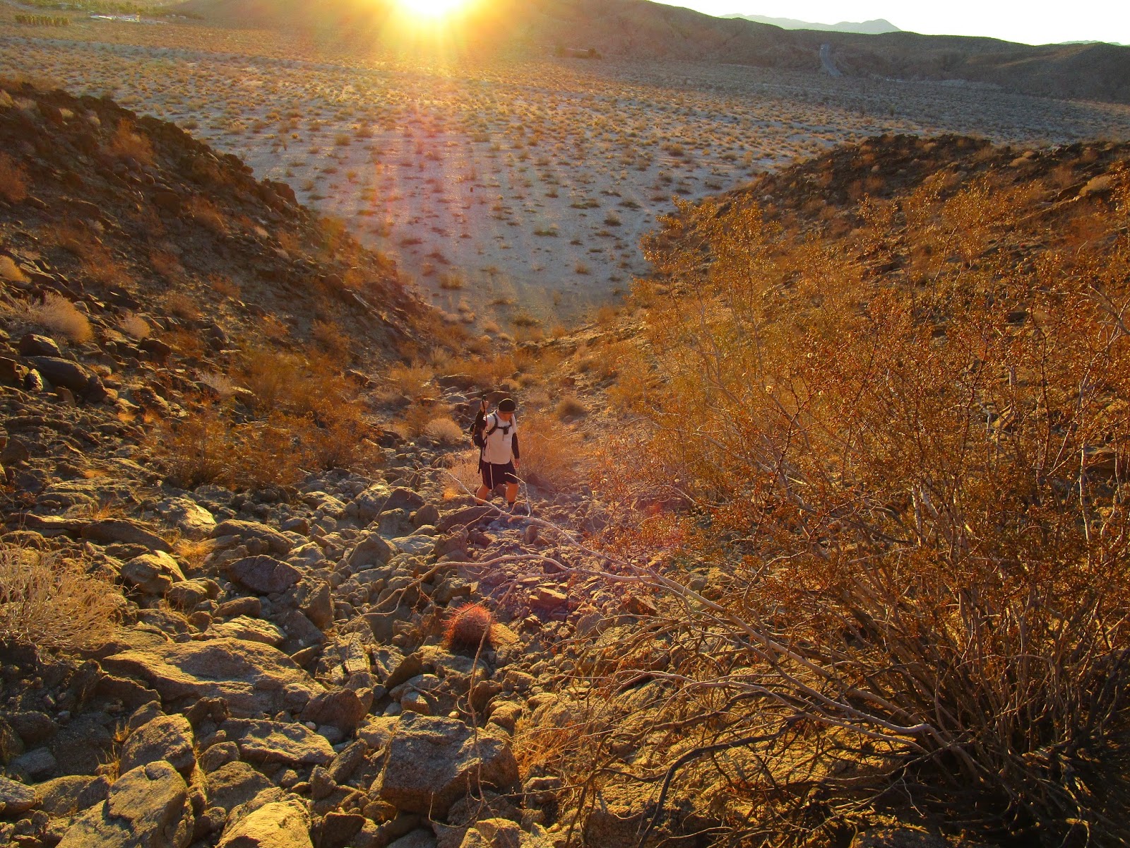
Sean on the way to Ode BM
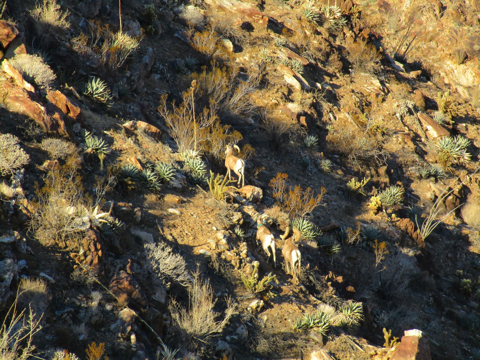
Three bighorns on the ridge to Kay BM
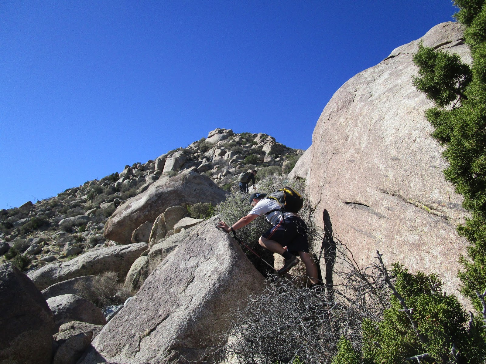
Scrambling up to Sirens
Descending from our false summit, heading to Sirens
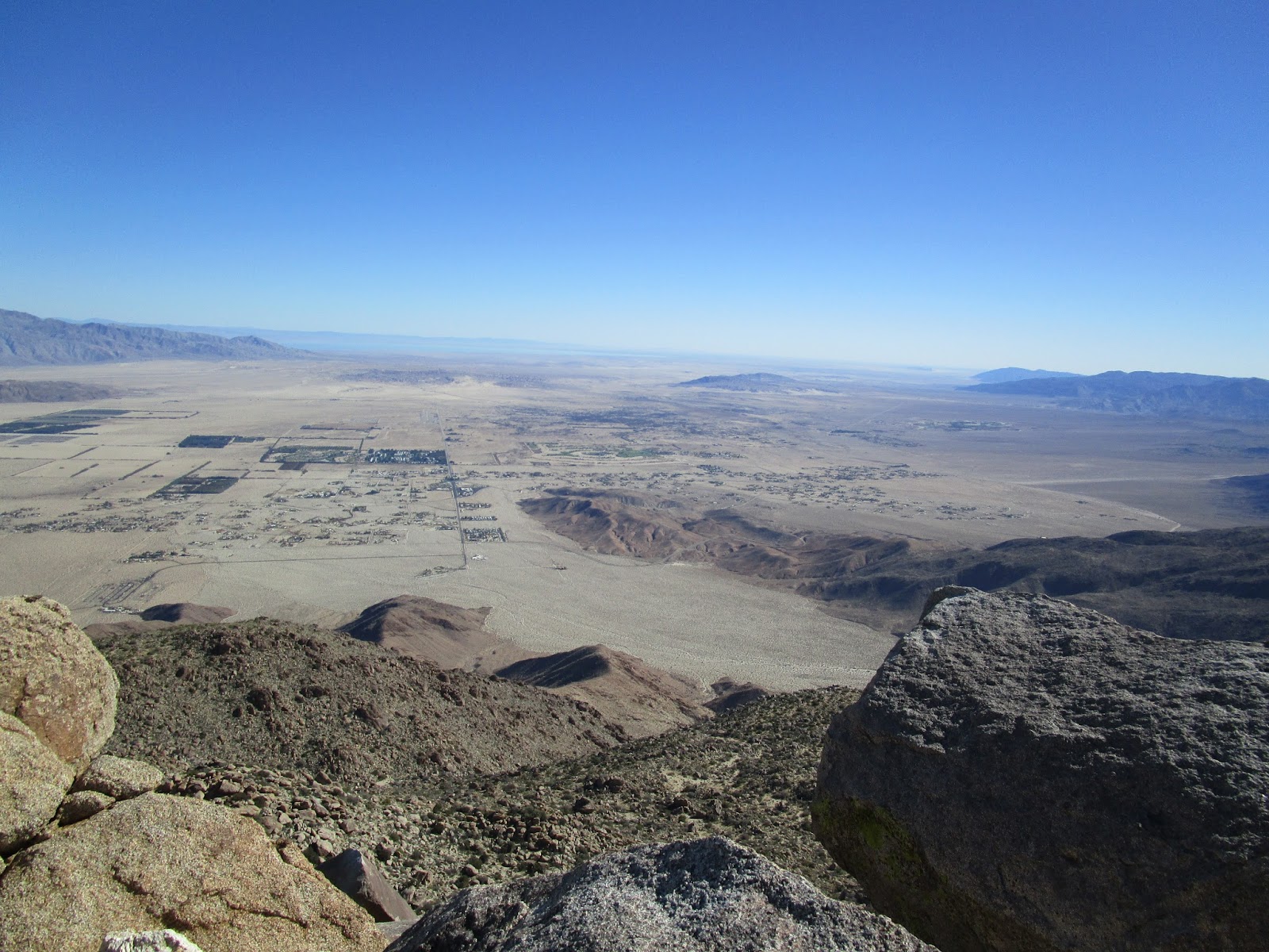
View from Sirens
Next up was San Ysidro East. Sean decided to skip Ysidro, and went over to Tuck, then up to wait for us on Webo. Dima and I dropped down and aimed up the most obvious gully, which turned out to be a treasure trove of deer parts. We found many antlers, 2 complete spines, and a couple of piles of various limbs, some with fur, some without. I stopped before the top of the gully to eat lunch, feeling drained and lethargic...and managed to lose my 2nd GPS in the same number of years. I guess it's a cost of doing business for me. Energized after eating, I caught up with Dima on Ysidro East to enjoy the buffet of views. We descended to Hellhole Flat, found the Tuck reference mark (but no benchmark), then made our final climb to Webo. Sean had inventoried the place and laid out the register, a geocache, and a water cache for us. The final destination was Ted, a flat spot on the descent ridge. We got there just before dark. We spent the last hour and a half dodging spiky things in the dark down the ridge and back to the car.
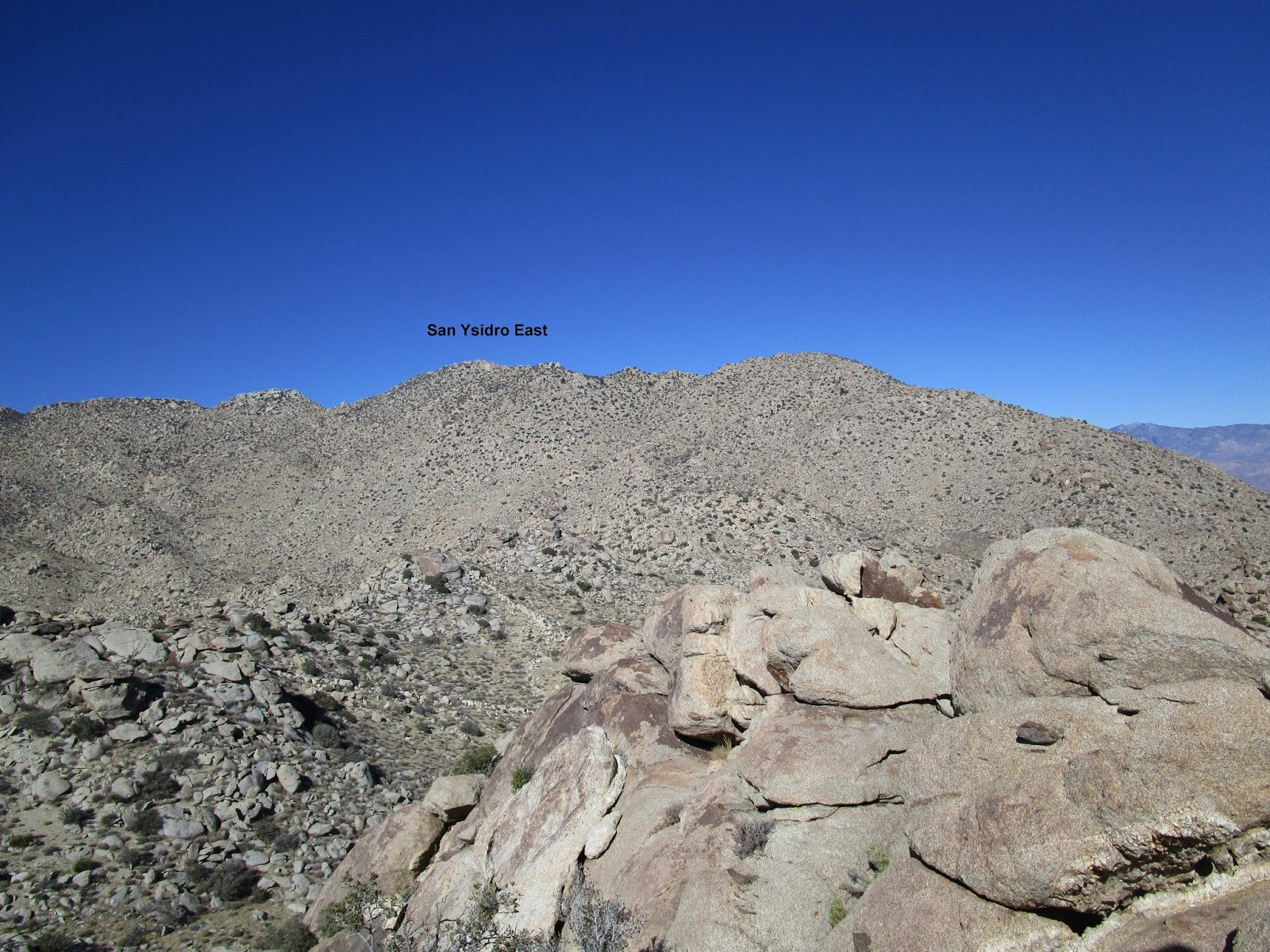
Ysidro East
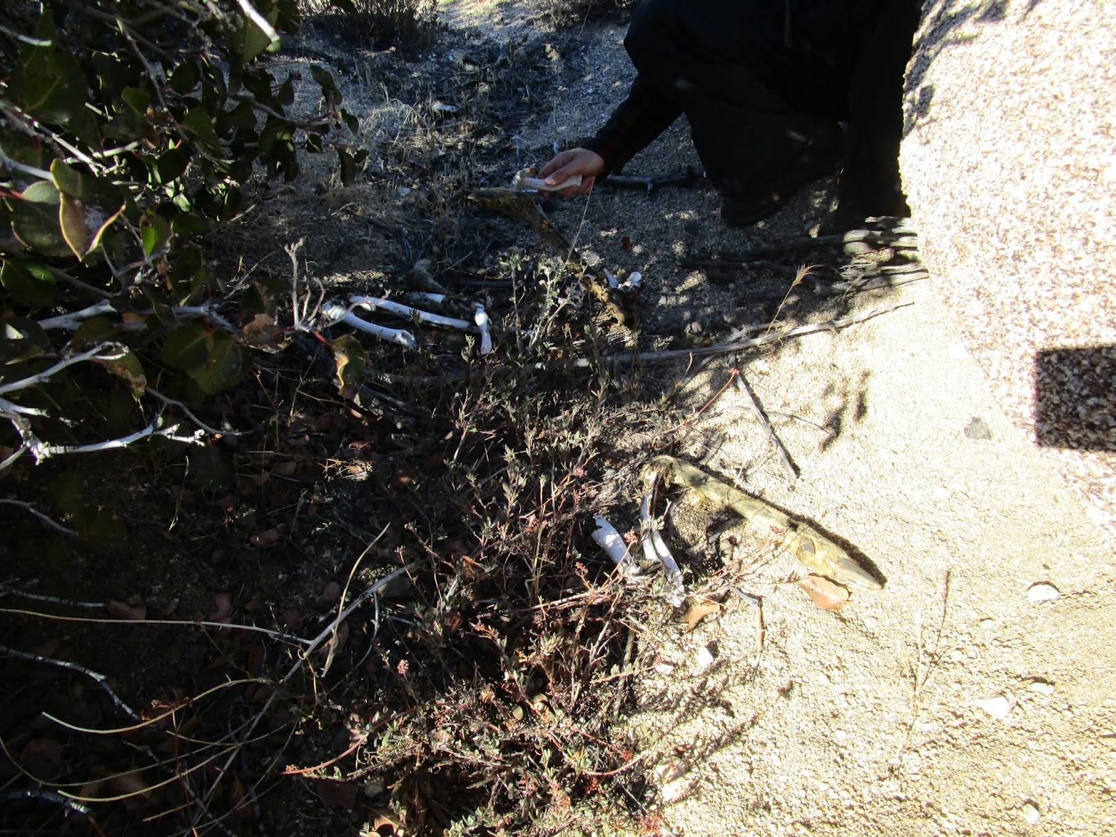
Pile of deer parts
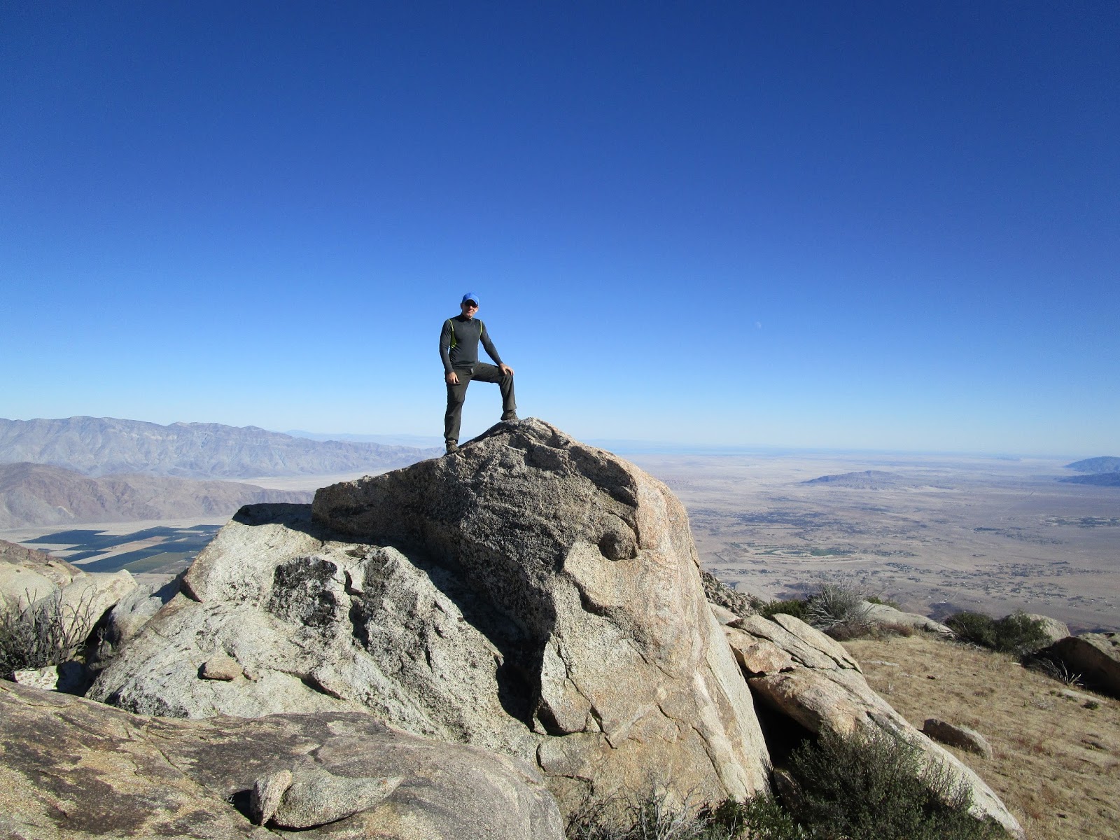
On the Ysidro East summit
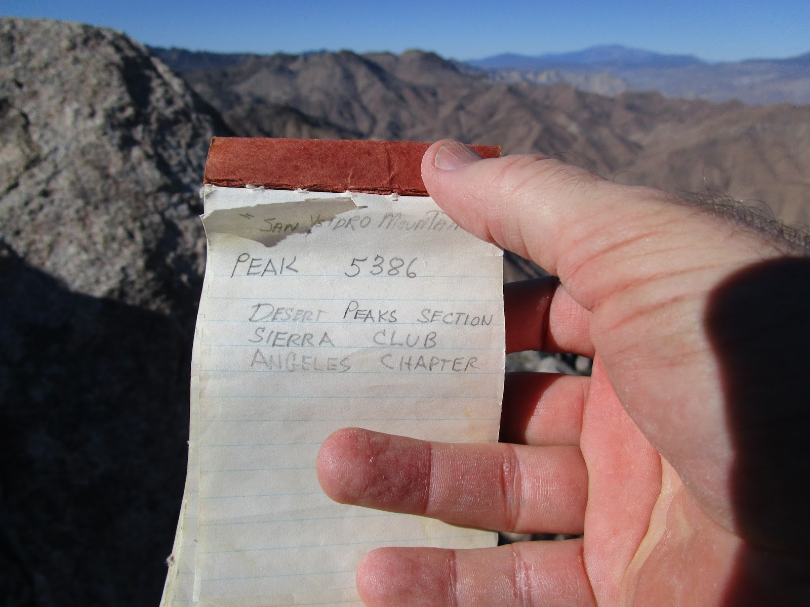
Register
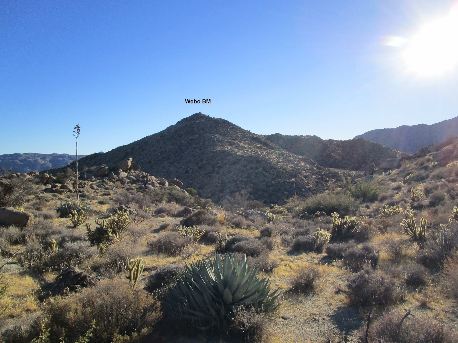
Heading toward Webo from Hellhole Flat
Sirens from Webo
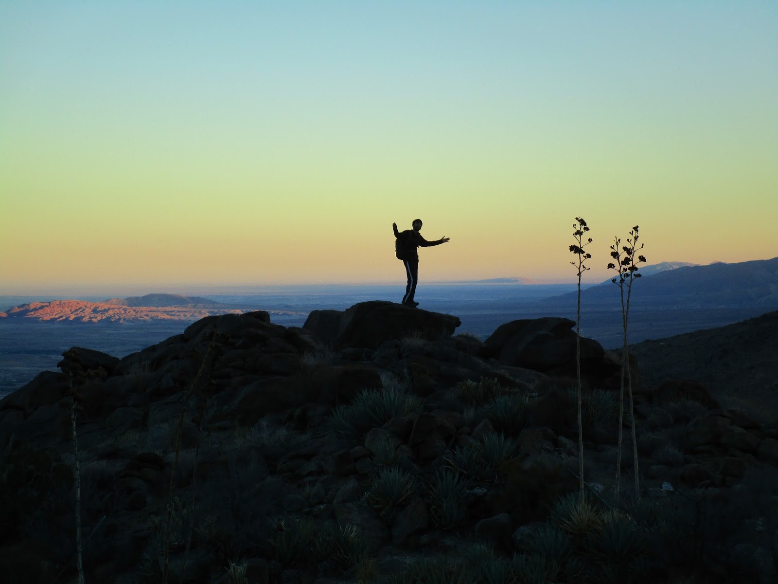
Dima descending at dusk


