Last week Willie suggested San Guillermo Mountain in the Los Padres NF. Thanks to the Sierra Club directions, we made it to the Pine Springs Campground parking without any trouble. But then, not being familiar with the Sespe Wilderness, I misinterpreted the hiking route guide, and we ended up on Peak 6202. The summit view of Piru Creek watershed looked pretty sweet, but clearly we were not on San Guillermo Mountain.
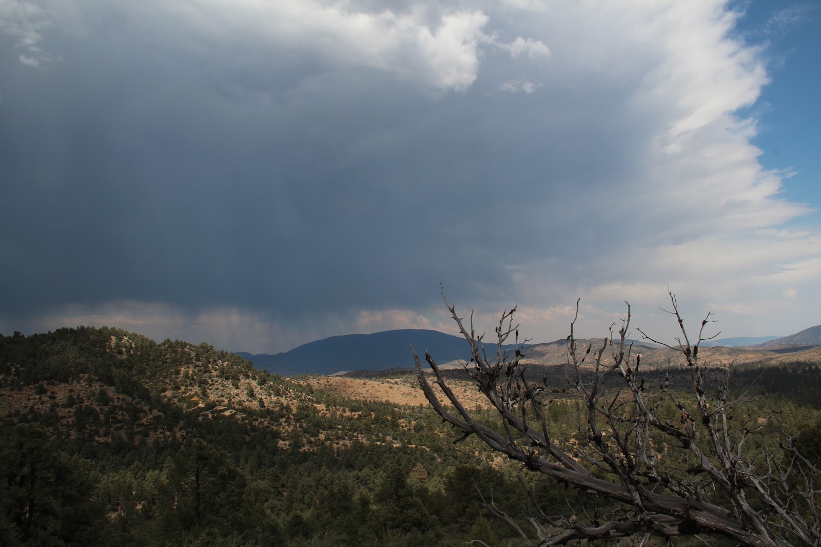
Having lost sense of direction, and being too lazy to whip out my compass, I convinced Willie that the taller and much bigger mountain over yonder must be it. So we went in that general direction along the ridge line and through the trees.
It was slightly warm but still cool enough to be pleasant. A little breeze felt nice. And the trees provided good shade. After dropping off the west ridge of Peak 6202, we figured out where we were on the map and began climbing up the south ridge of Guillermo.
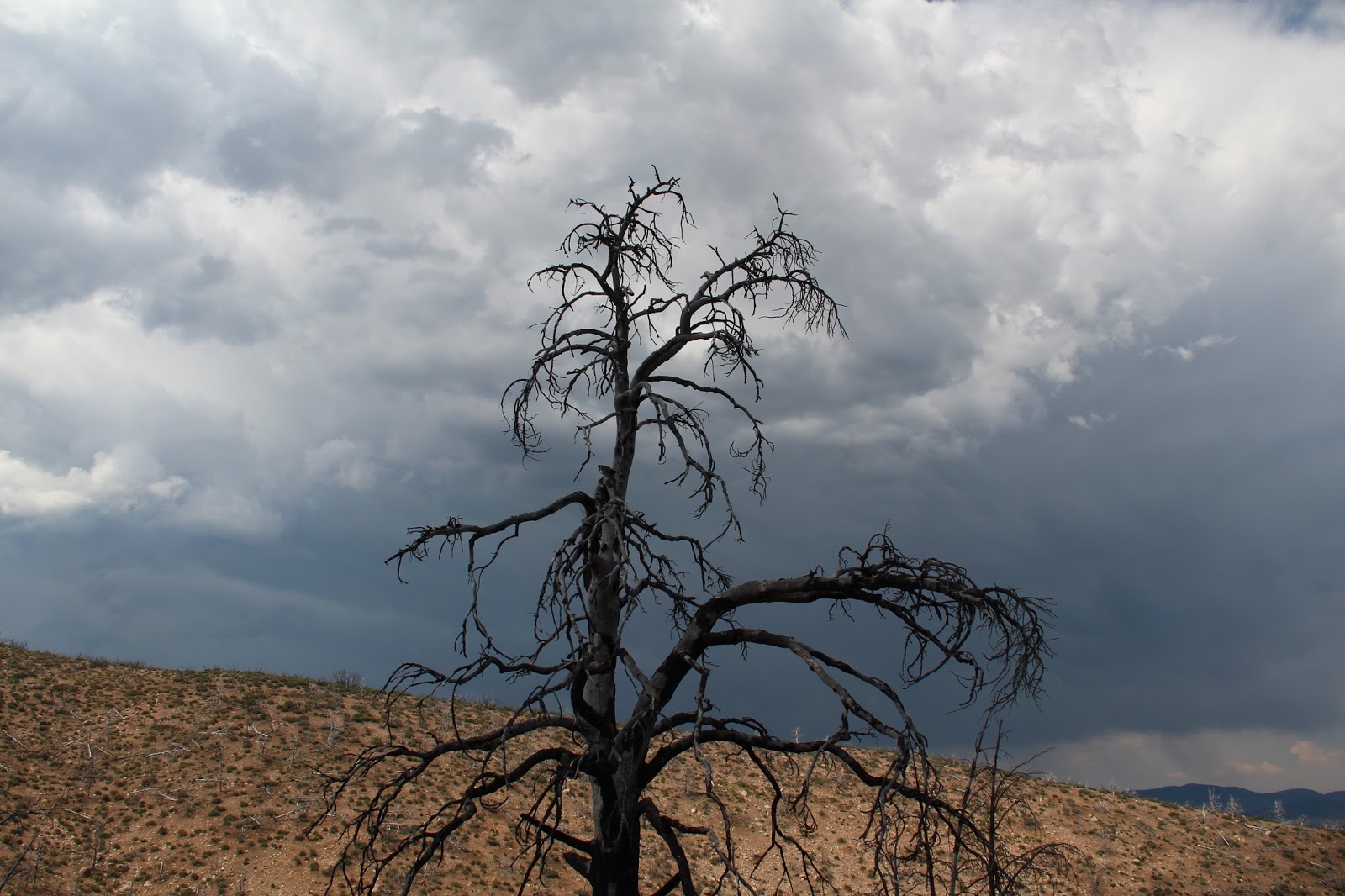
(Wandering around the Sespe Wilderness with Peak 6202 in background.)
Willie had been itching to find a razorback ridge that he read about from a Meetup group. He noticed something that looked promising, but it was down another ridge through brush, maybe a half-mile away and 500 feet below us.
I agreed to wait in the nice, cool shade, while he bushwhacked to the other ridge and back. And I made sure to pick a spot with a view so that I could watch Willie struggle as much as possible. Here is his picture of the ridge...
All I had was my smartphone, so I couldn't get any good pictures of him from far away.
Eventually he made it back in one piece, though with a bloody finger and torn shorts. Then we continued up to Guillermo.
I took this selfie on the summit, then my phone died.
We ate some lunch and relaxed in the shade with great views of the surrounding canyons.
On the way back we found the Sierra Club route and figured out where we goofed up in the beginning.
Below is the stuff I packed out, including my first bowling pin, which was attached by rope to a hard drive and slung up in a tree - used as a target for shooting practice.
San Guillermo Mountain
- Uncle Rico
- Posts: 1386
- Joined: Thu Mar 20, 2008 7:48 pm
I ended up on San Guillermo yesterday, more by default than design. Went up to the Lockwood Valley to try to get into the narrows of the Middle Fork of Lockwood Creek, but got stymied by private property and access issues so headed for Guillermo as a back-up. I really like the open vistas and broad spacing between the vegetation in this area. It allows for easy hiking. Thunder storm rolled in on us while we were on the bump just south of Guillermo. It was all quite beautiful, albeit toasty.
Which route did you take? I'm curious about the north summit's east ridge. Thought I'd try that way up next time.Uncle Rico wrote: ↑I ended up on San Guillermo yesterday, more by default than design.
- Uncle Rico
- Posts: 1386
- Joined: Thu Mar 20, 2008 7:48 pm
We took the standard route out of the Pine Spring Campground, into the dry creek bed to the south, and then up the low ridge that tops out between 6,606 and 6,324. Essentially the same route you probably intented to follow but we didn't get lost.
- Uncle Rico
- Posts: 1386
- Joined: Thu Mar 20, 2008 7:48 pm
Hmm. I expected that little dig to get more of a rise out of you Cucamonga Man. Disappointed.Essentially the same route you probably intented to follow but we didn't get lost. Razz
Anyhoo, I wasn't gonna do a TR about San Guillermo on account of the fact that you already did one. Then I did one anyway here:
http://wildsouthland.blogspot.com/2017/ ... untry.html
Some teaser pics:
I didn't, and still don't, have a witty comeback. And now that you've written a better TR than me, there is nothing to do but crawl back into my hole and reconsider my life choices.Uncle Rico wrote: ↑Hmm. I expected that little dig to get more of a rise out of you Cucamonga Man. Disappointed.Essentially the same route you probably intented to follow but we didn't get lost. Razz
Cool pic of the tree!
- Uncle Rico
- Posts: 1386
- Joined: Thu Mar 20, 2008 7:48 pm
I was waiting for a back-handed comment about my abysmal score on your most recent quiz. That was fertile ground.I didn't, and still don't, have a witty comeback.
Oh! Well, I did forget to commend you on not slacking off when it comes to studying Sierra Club directions. I'll make sure to include lots of HPS trivia in the next quiz.Uncle Rico wrote: ↑I was waiting for a back-handed comment about my abysmal score on your most recent quiz. That was fertile ground.I didn't, and still don't, have a witty comeback.
Better?
Hehehe...you are really good at those trip reports. I dont think the drones will be able to deliver prose anytime soon, so Im out of luck.
If you think Google Earth is something, wait until VR takes off. It'll be better than trekker.
https://www.parks.ca.gov/GoogleTrekker
- Uncle Rico
- Posts: 1386
- Joined: Thu Mar 20, 2008 7:48 pm
Google Treks kinda ruins it for me. It's like the striptease artist who takes off too much of her clothing to reveal all. It leaves nothing to the imagination.If you think Google Earth is something, wait until VR takes off. It'll be better than trekker.