Summary: short and scenic jaunt along the East Fork Cold Springs trail to the summit of Montecito Peak.
Where: Santa Barbara front country.
When: Last Sunday.
Why: Because.
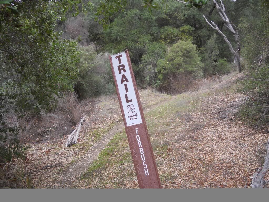
Distance: A mere 3.5 to the summit. Trip can be extended to 4.5 by continuing to East Camino Cielo along the crest or to about 6 if you drop down the north side to Forbush Flats. This would make a nice little over-nighter.
Bonus: Beer at IBC in Carpinteria.
Some Pics:
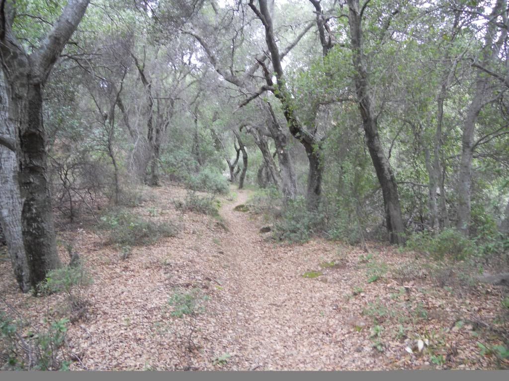
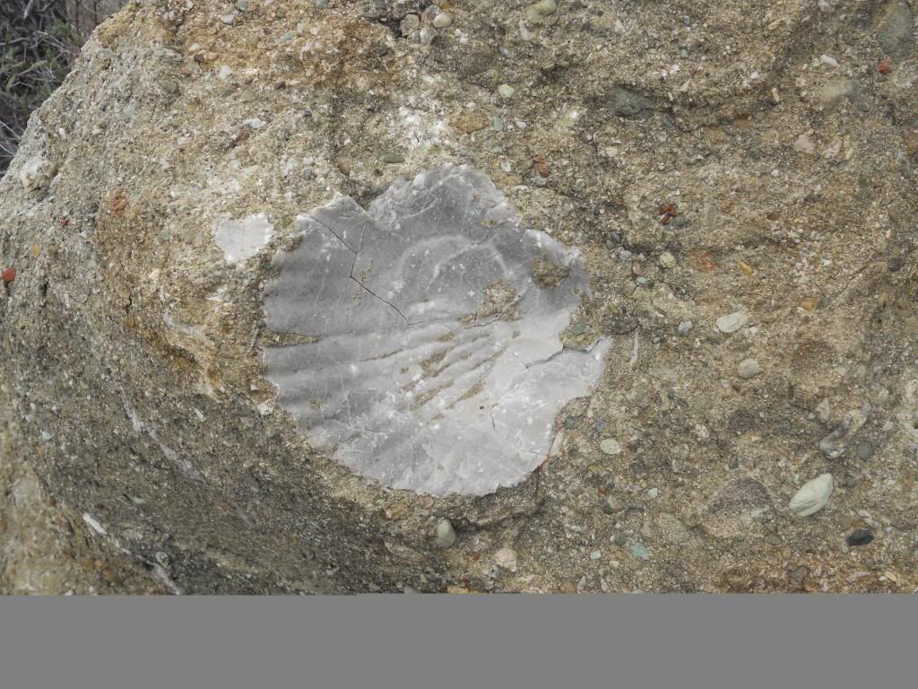
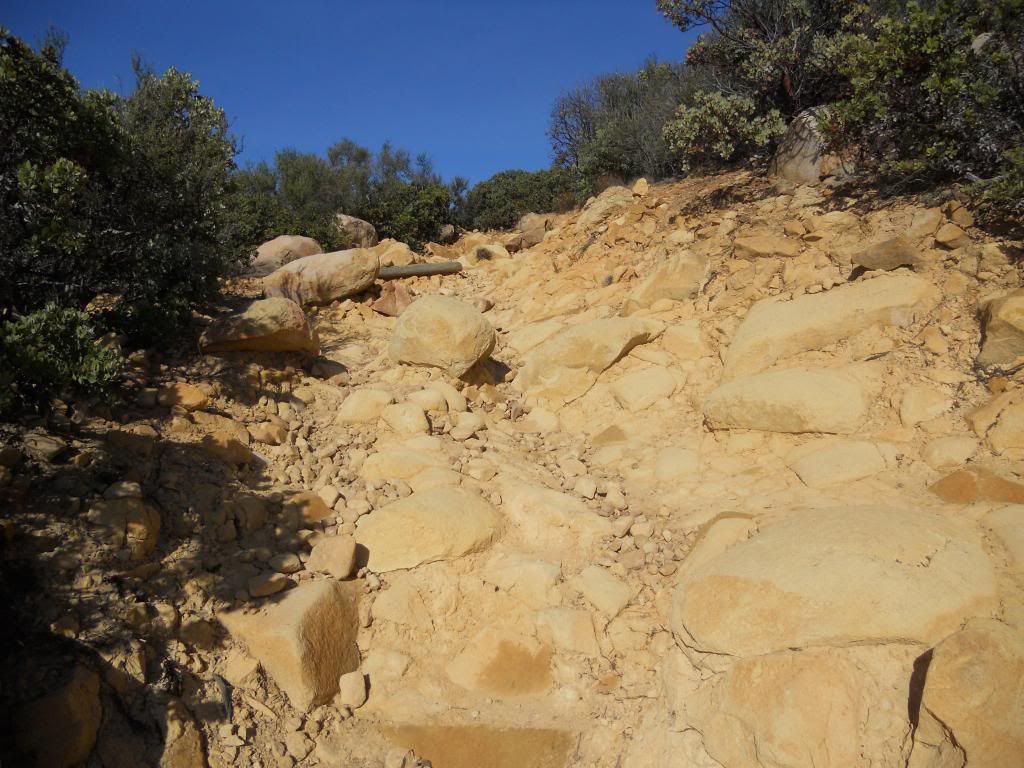
The beginning.
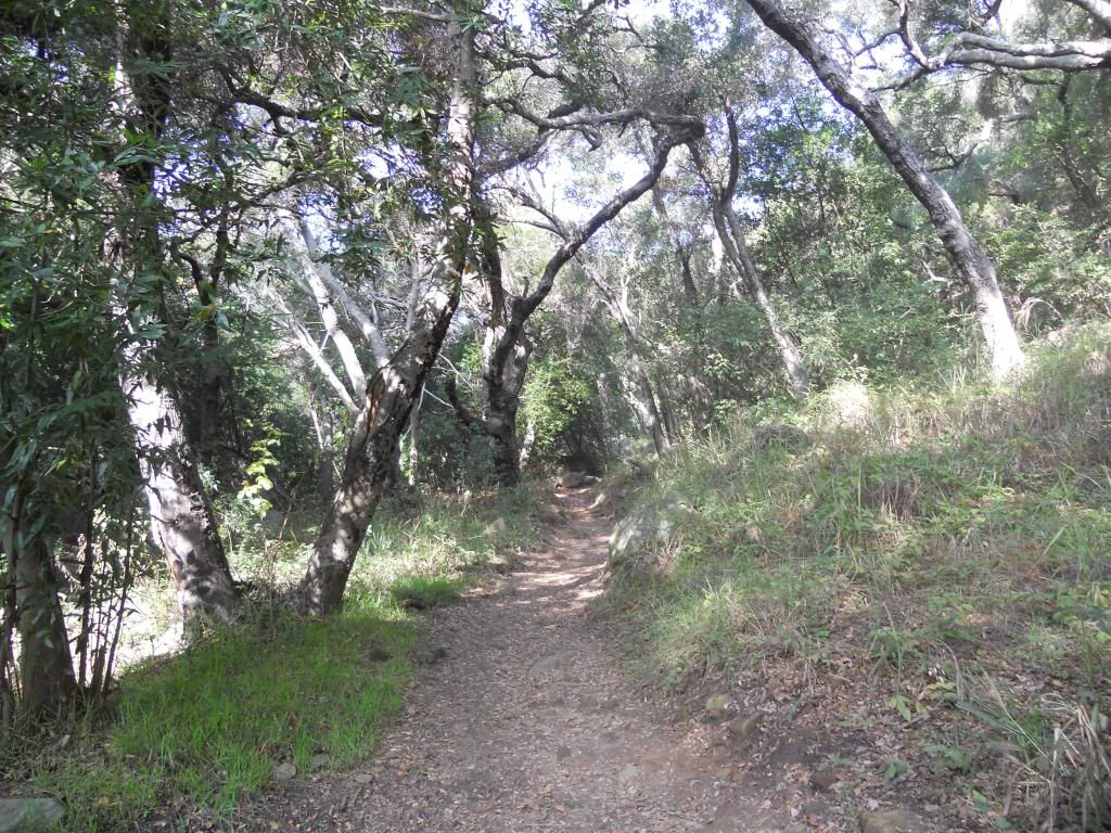
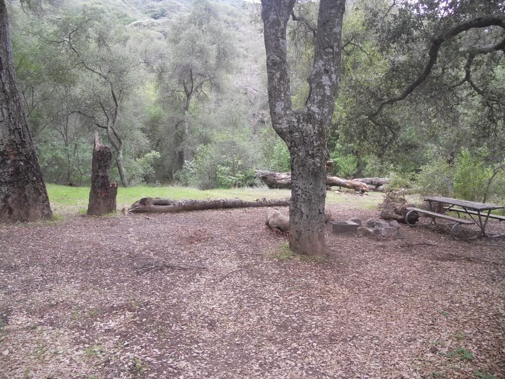
In the shade.
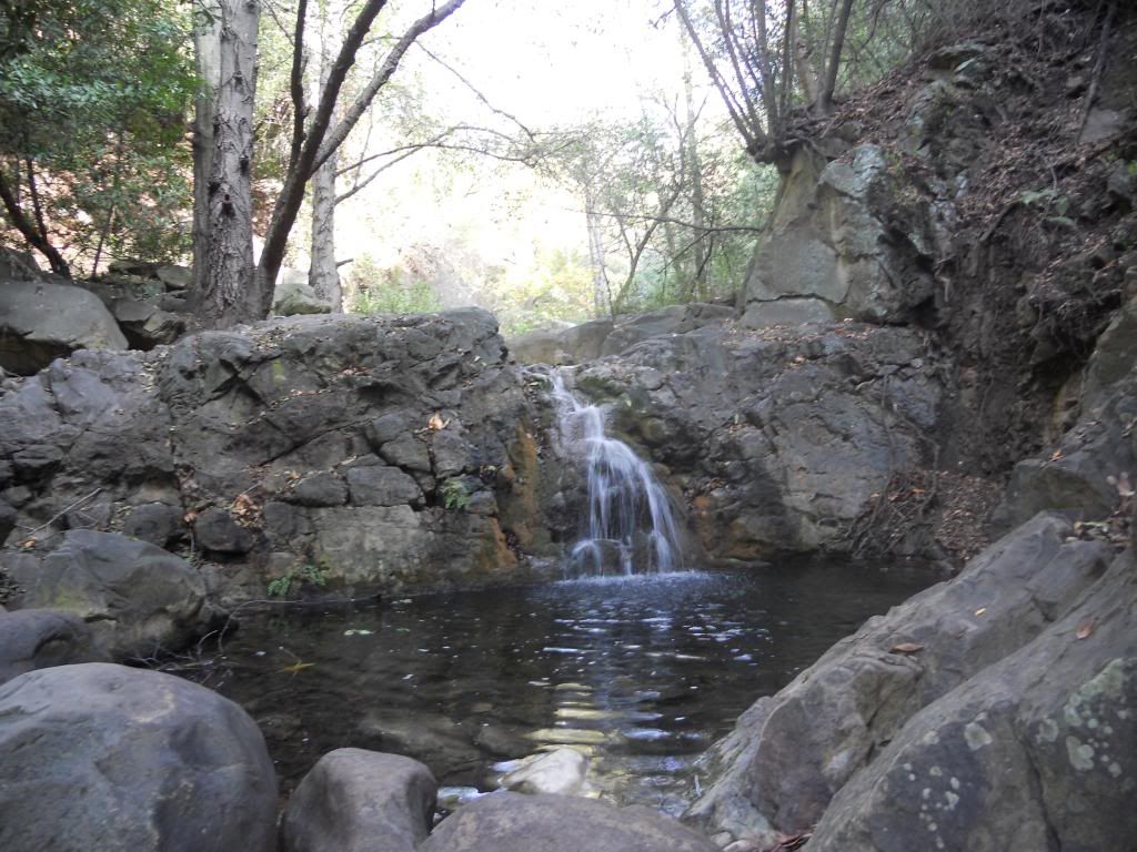
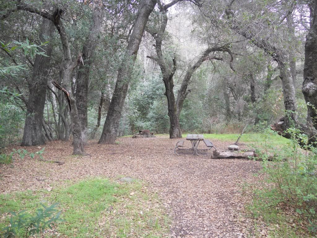
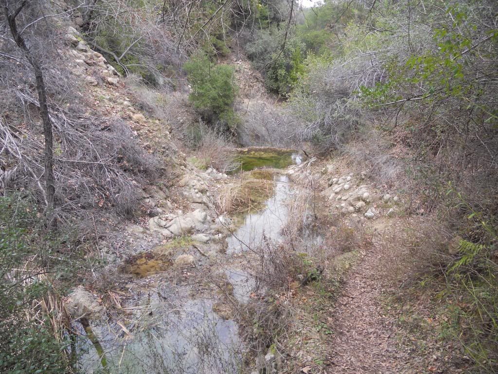
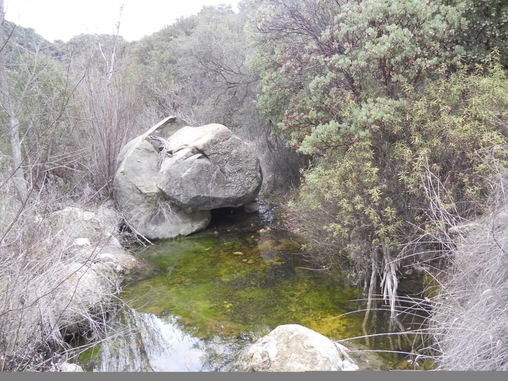
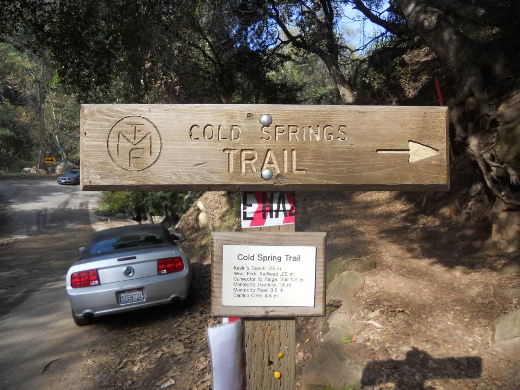
Cold Springs.
Into the light.
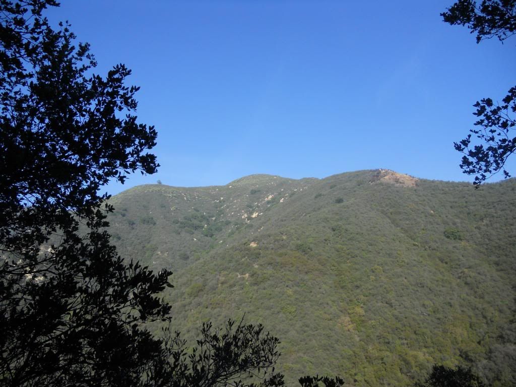
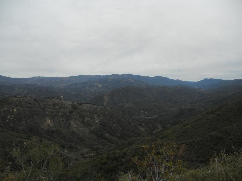
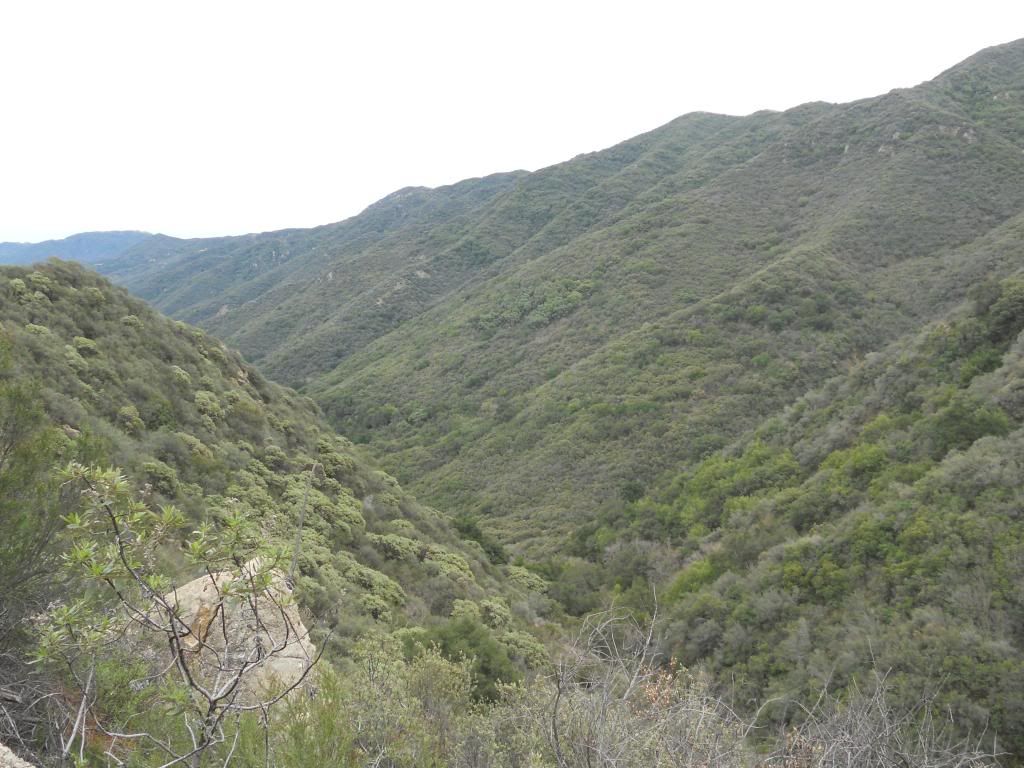
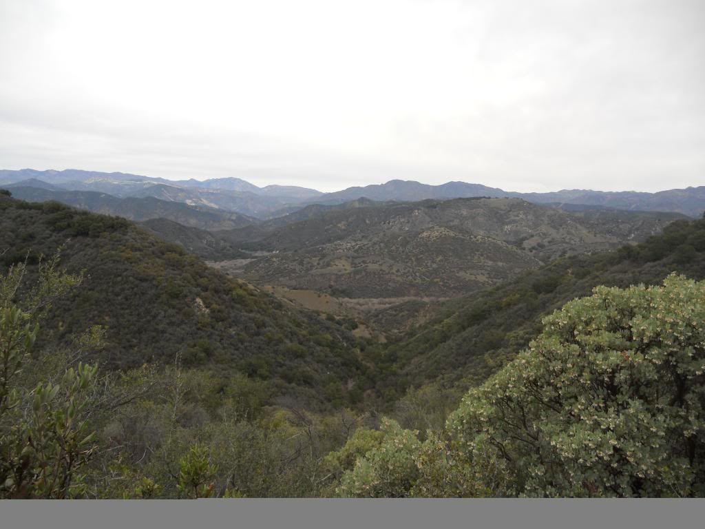
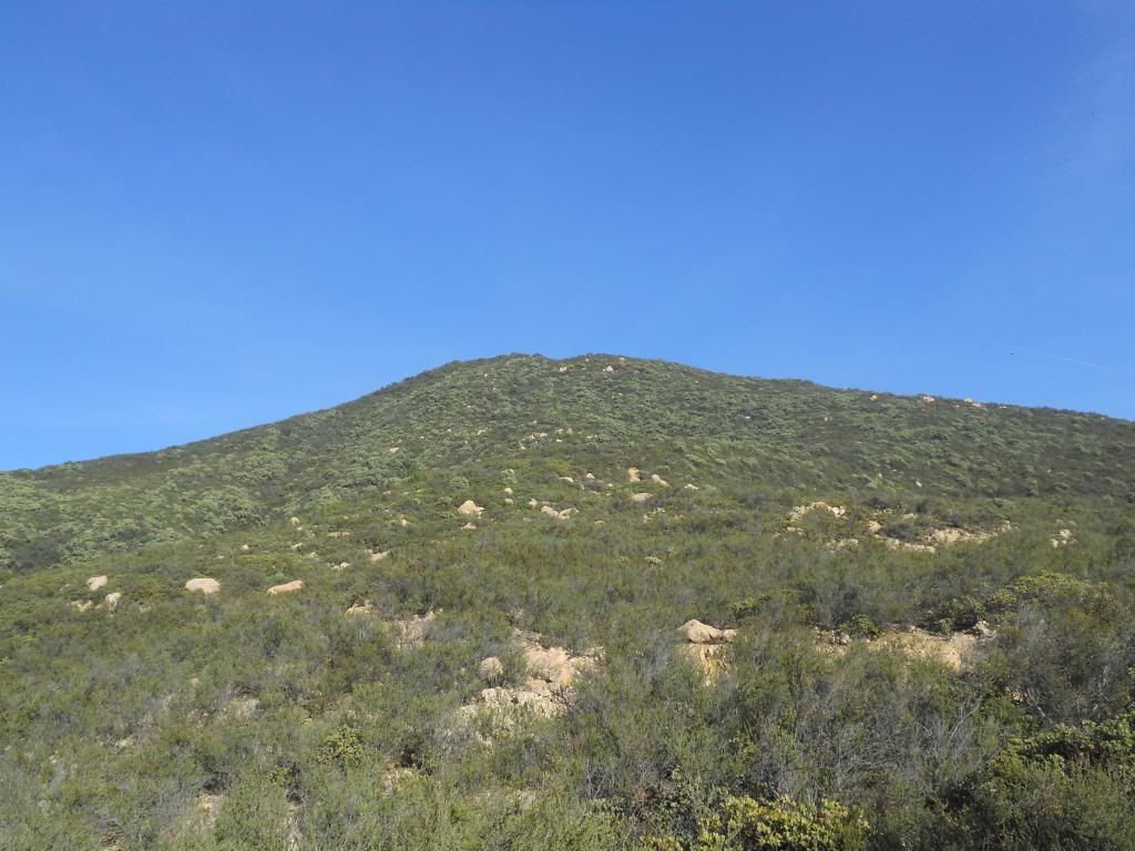
Hump in the middle is the objective.
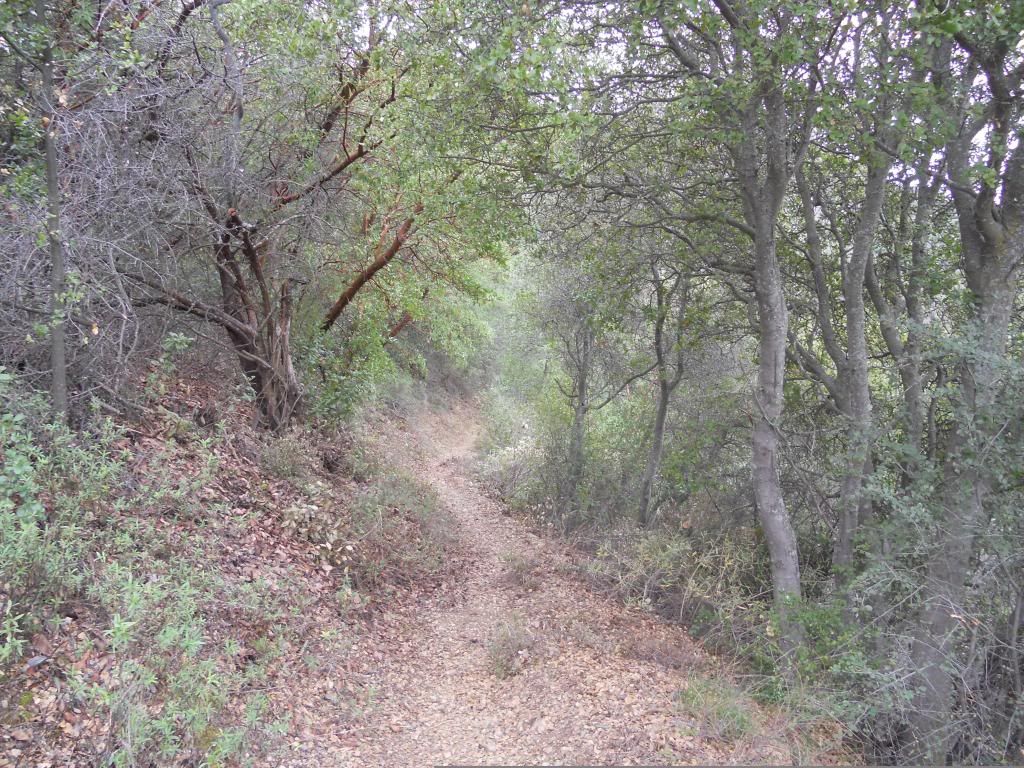
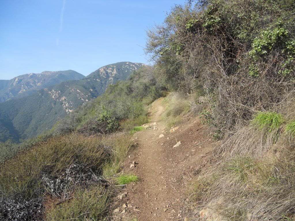
Trail.
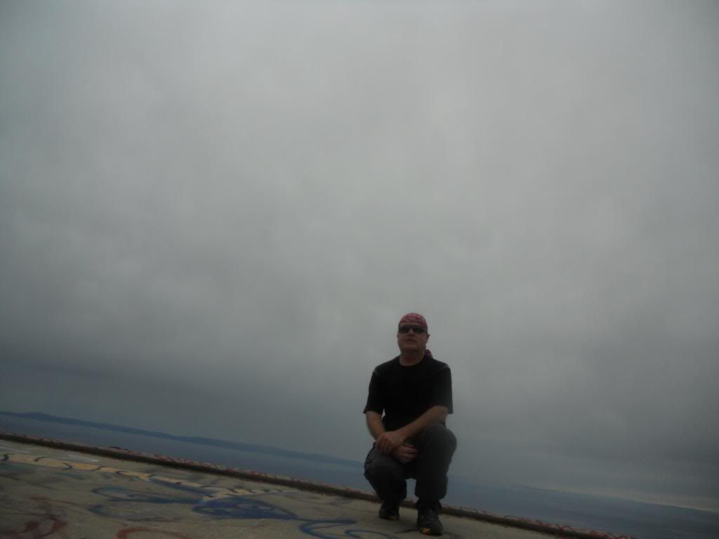
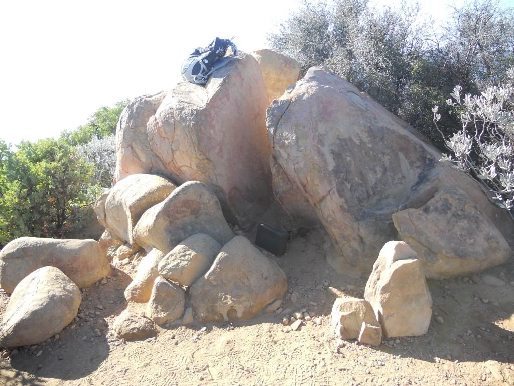
The "peak."
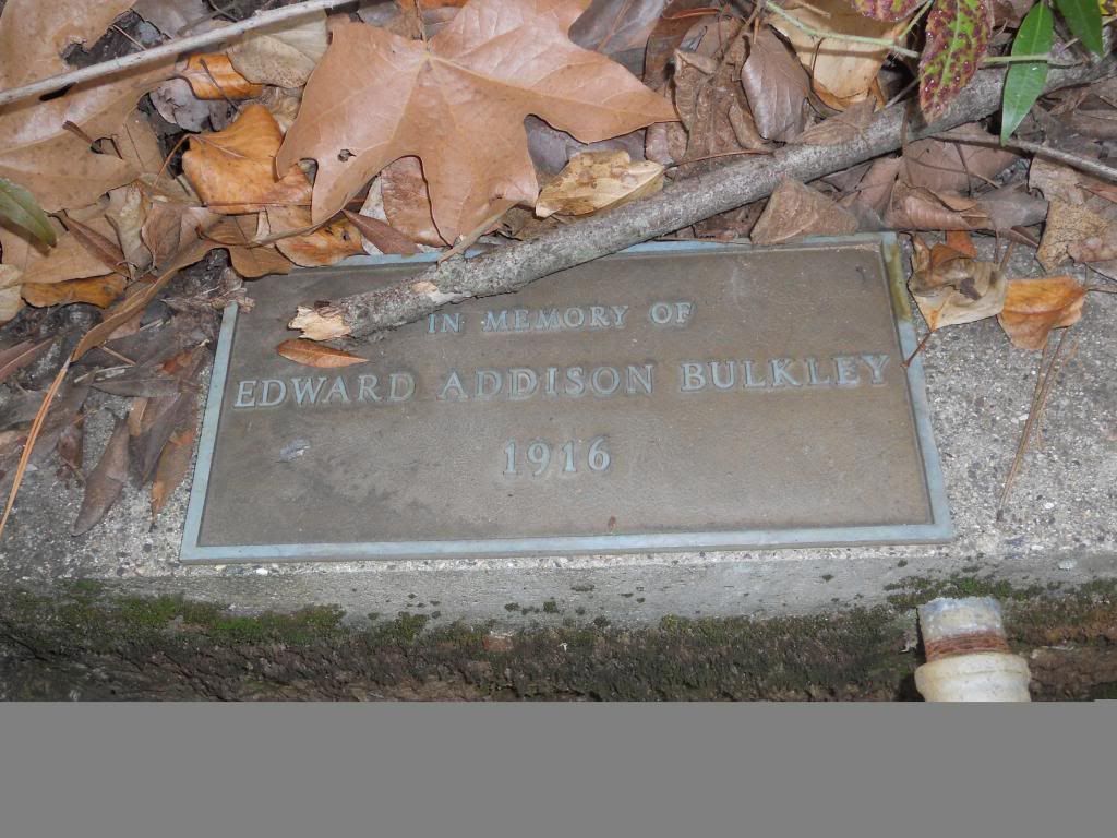
Summit register.
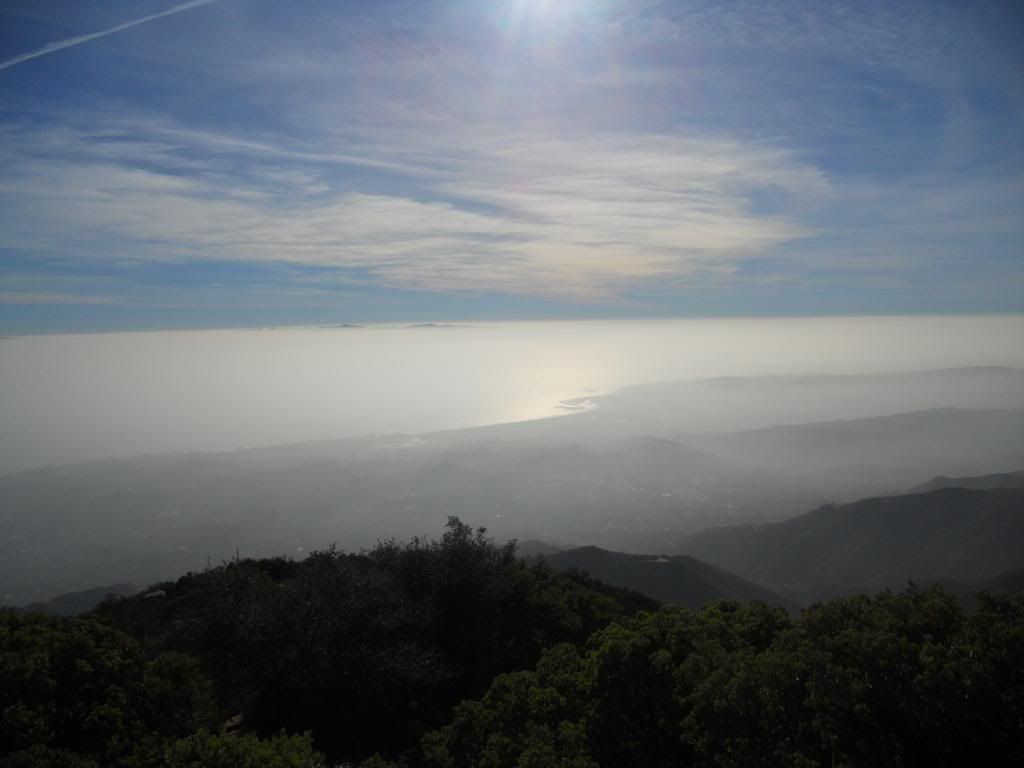
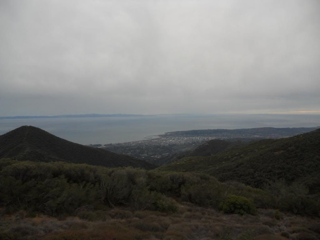
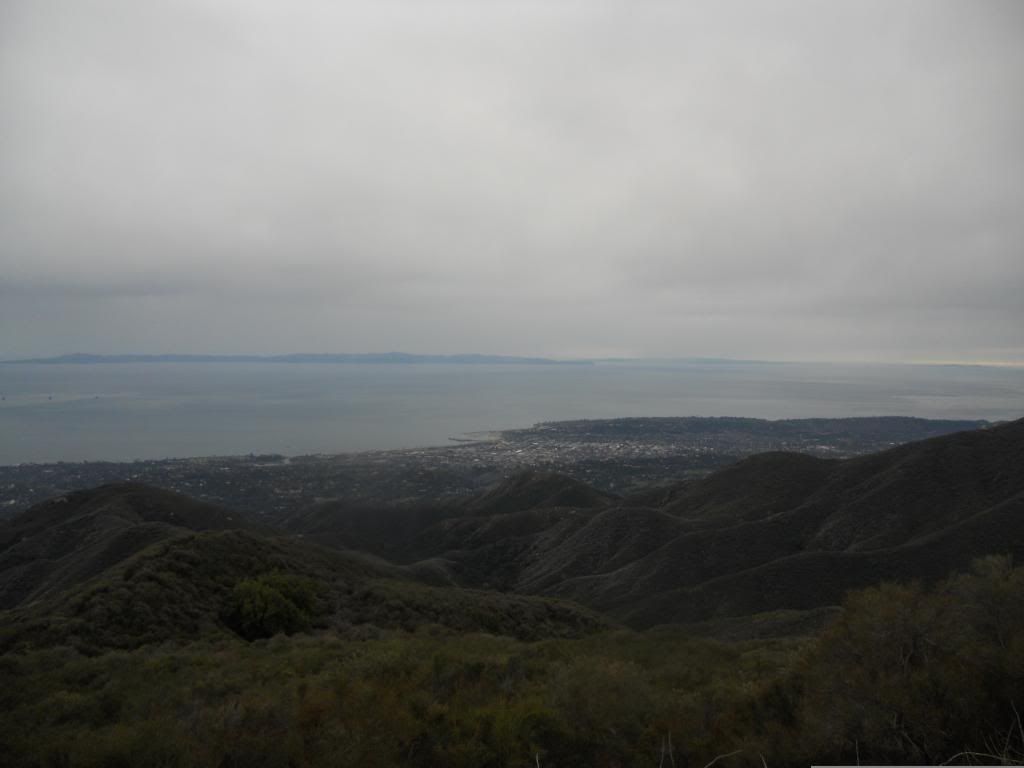
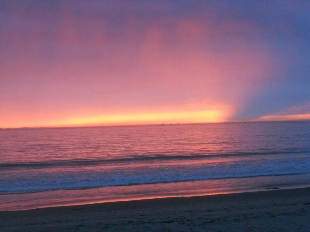
View south.
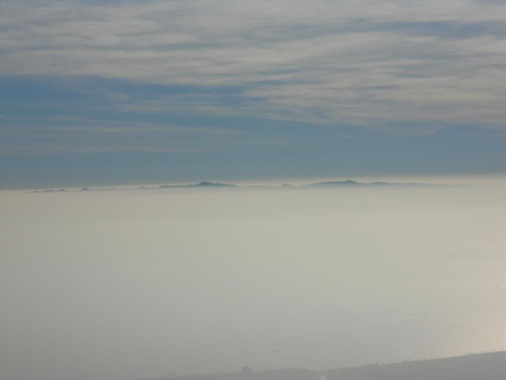
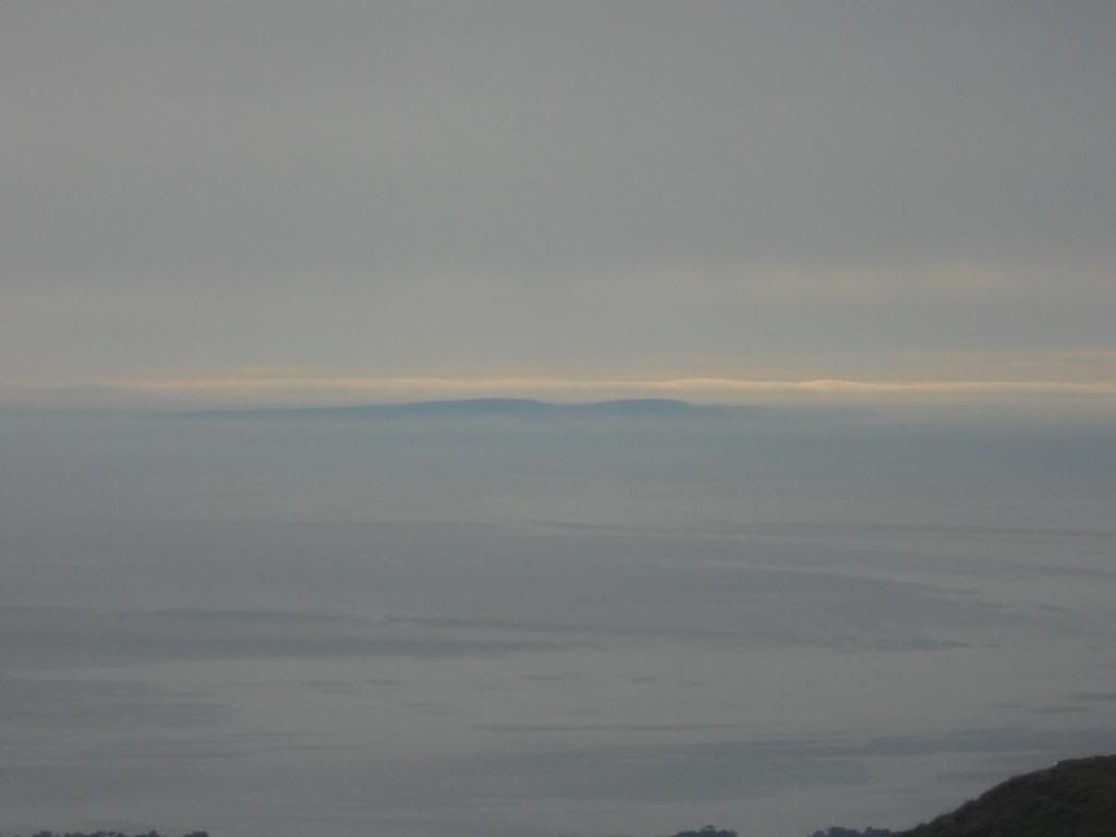
Channel Islands.
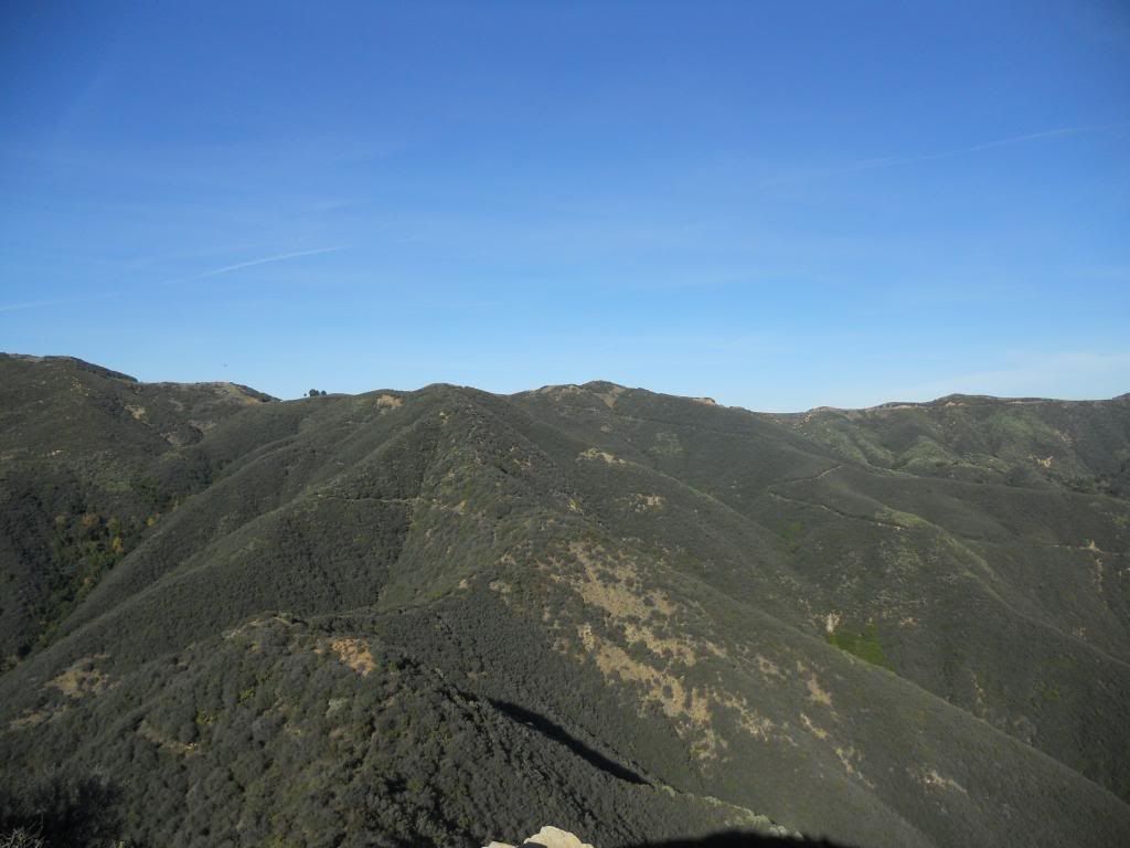
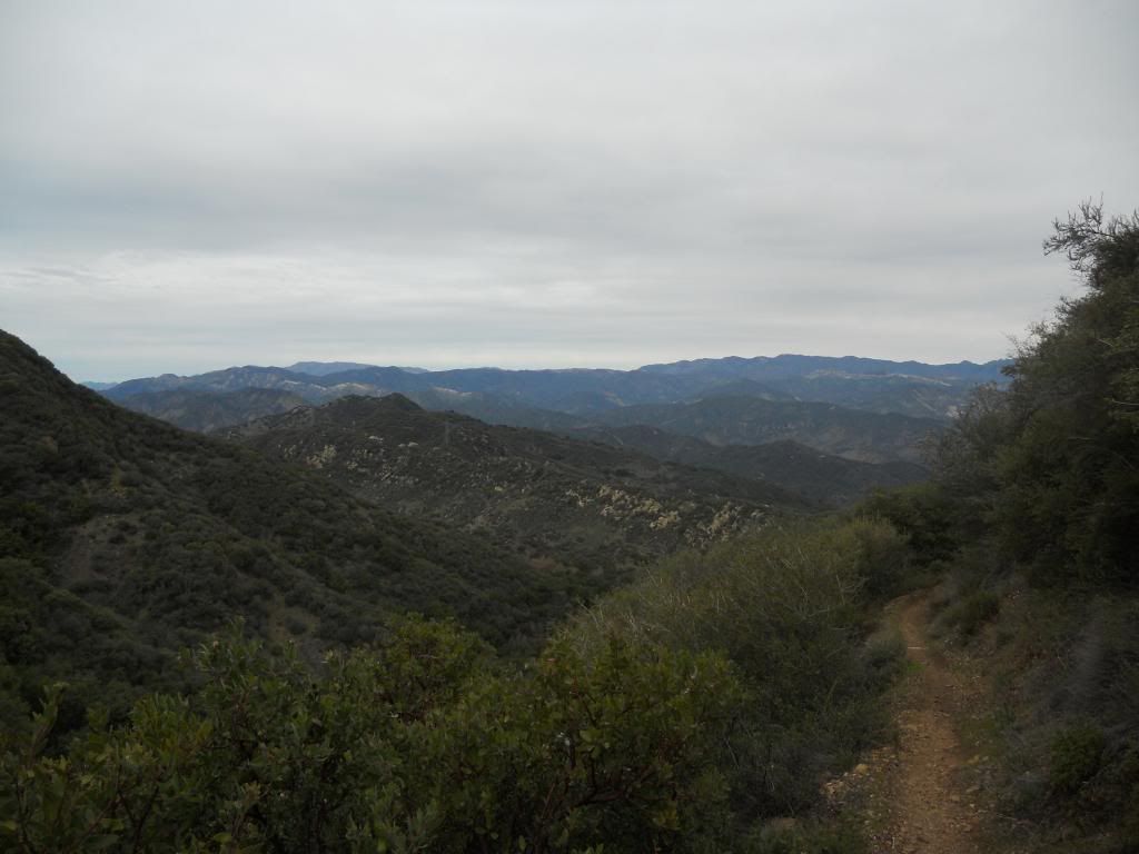
View north. Trail crests at trees along ridgeline. San Ysidro trail right middle. Camino Cielo East just above that.
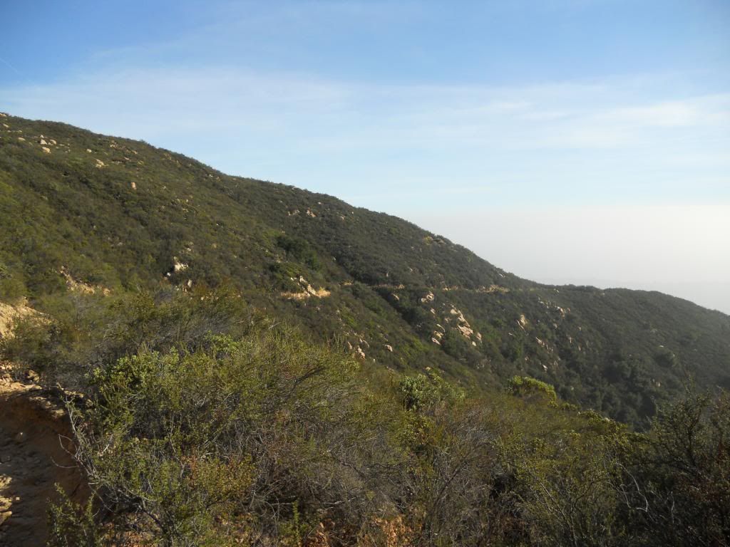
Descent.
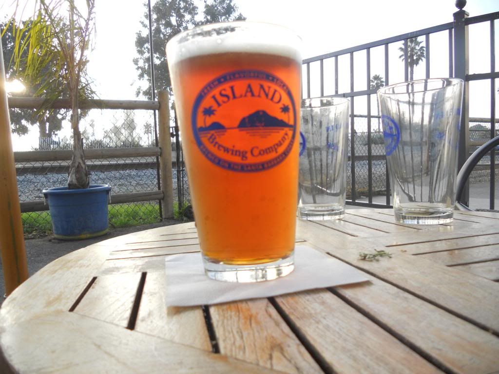
Yay beer! I disclaim ownership or responsibility for the 2 dead soldiers.
The end.