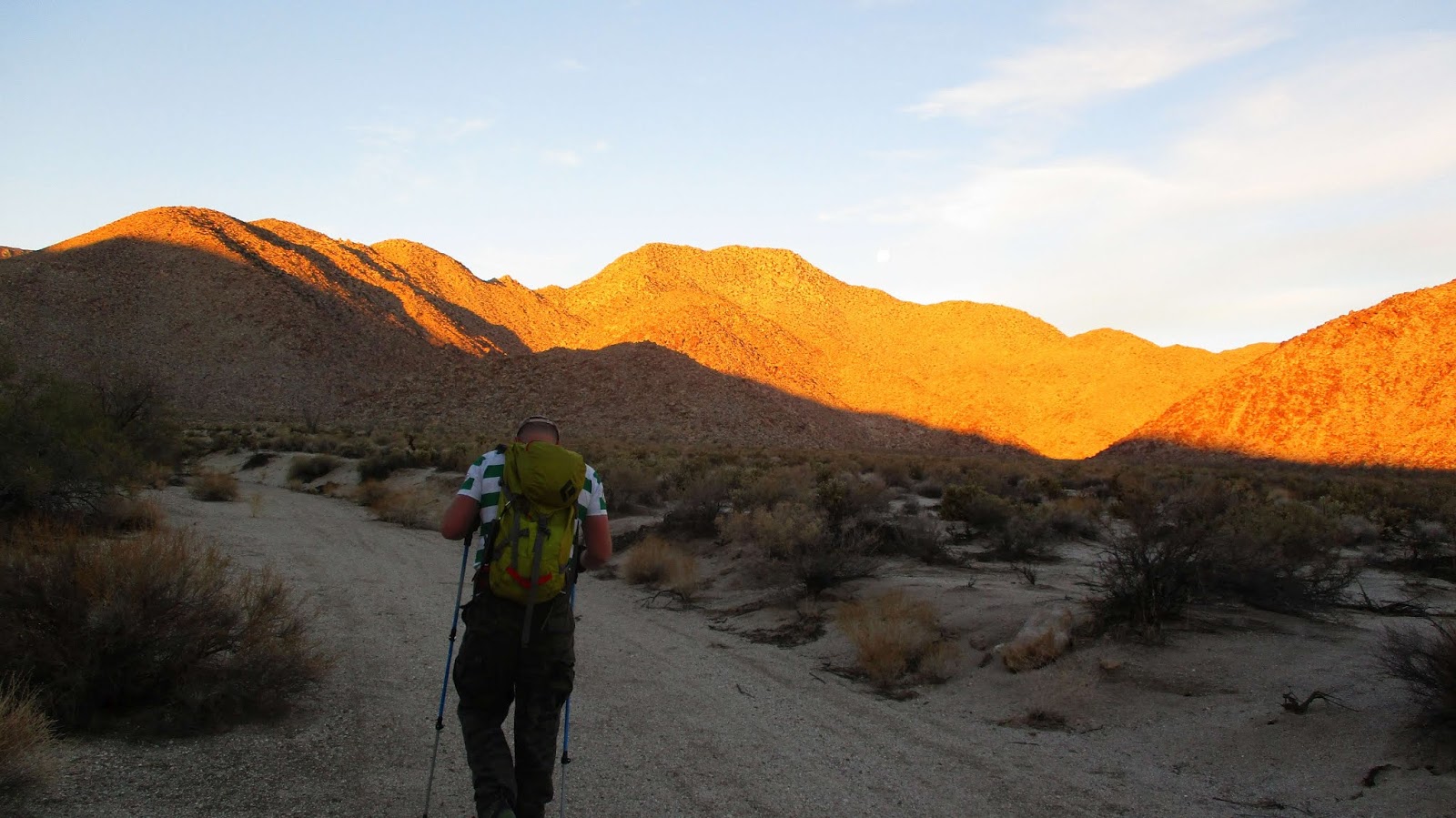
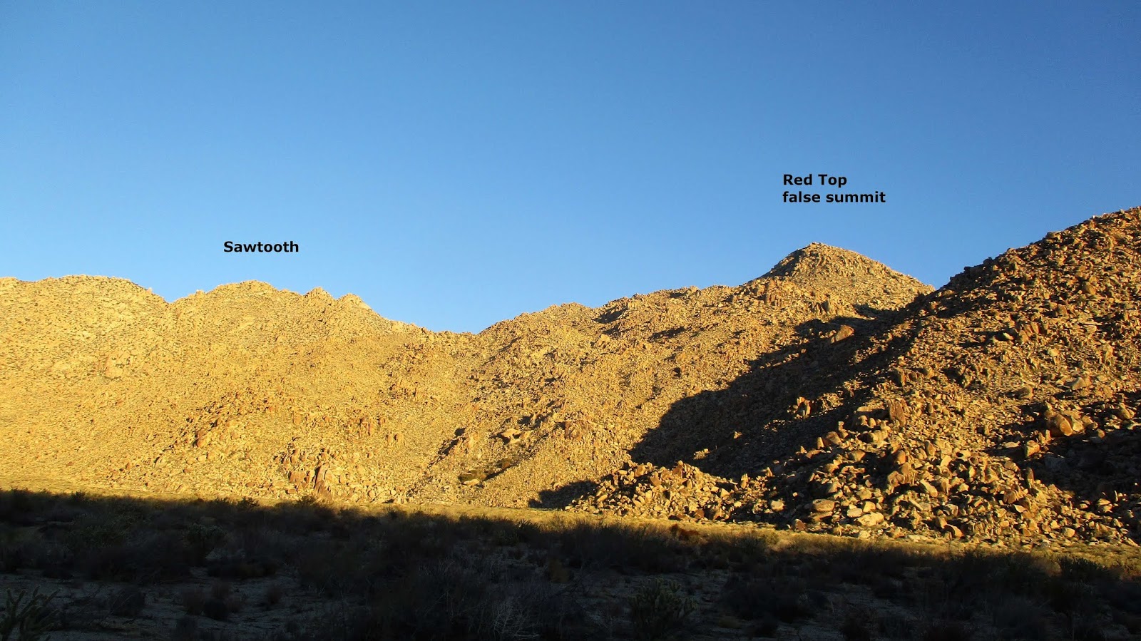
Red Top is #42 on the Sierra Club San Diego Peaks List. Two weeks ago, Matt Hanan and I attempted to get Sawtooth Mountains High Point and Red Top. We got Sawtooth, but bailed a half mile from Red Top because we ran out of daylight and didn't want to descend in that terrain in the dark. We went back on Saturday. It the final peak I needed to complete the SDC list. Red Top is very remote, surrounded by other mountain ranges, the Inner Pasture, and Canebrake Wash. We drove in about 4 miles on North Indian Canyon Road, starting about a mile from a pass over the Tierra Blanca Mountains. There is no defined trailhead. A 4x4 is needed for the large rocks and sand. We started across the open desert at 4:20 AM and got over the pass and into Canebrake Wash in about 90 minutes. I had cached some water there a few weeks ago. We followed abandoned roads the next three miles to reach the ascent gully between Sawtooth and Red Top. We stored a second water cache below a large boulder there. We went up the gully then drifted north, staying inside a sort of alley between higher ridges on both sides. The terrain is confusing and sometimes a 50' ridge blocked the view where 80' contour lines on the map showed a flat area. A few hours of grinding got us 200' below the summit. The wall of rocks choked with vegetation made a direct approach look improbable, or at very least, miserable. We climbed a short wall to the west to reach a final plateau clear of boulders. From this point forward, the GPS track is a mess as we picked our way up and across the maze toward the summit. There was a lot of bushwhacking and backtracking. Sometimes we would split up to explore different options, shouting to each other if it advanced our cause. The last 100' was mostly class 3, with the same kind of recon and route finding needed to find a way to the summit block.
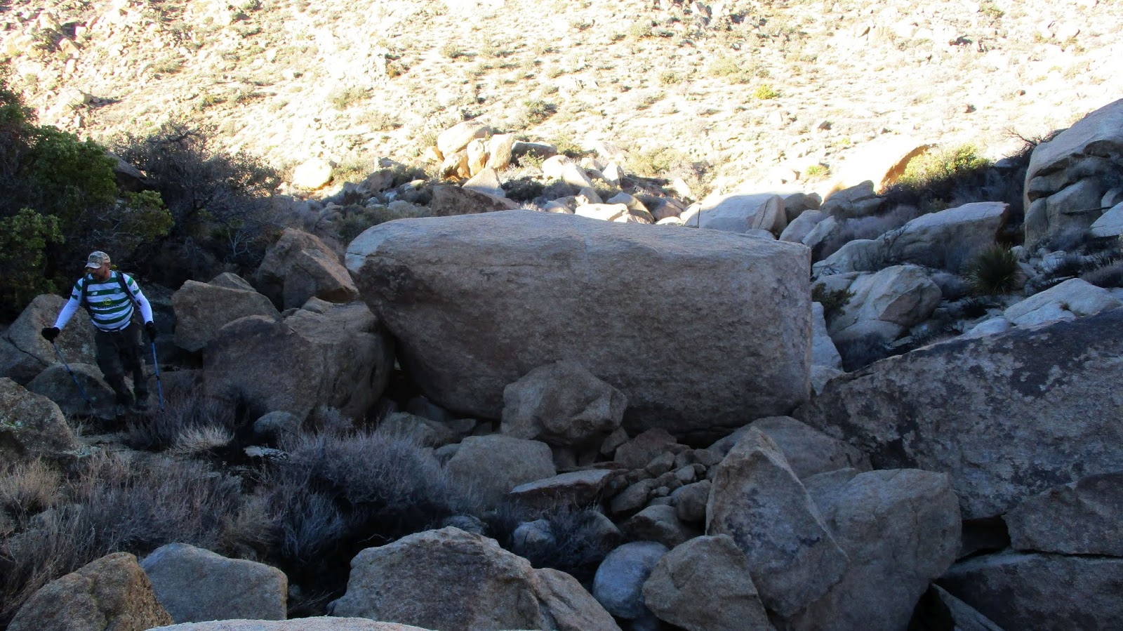
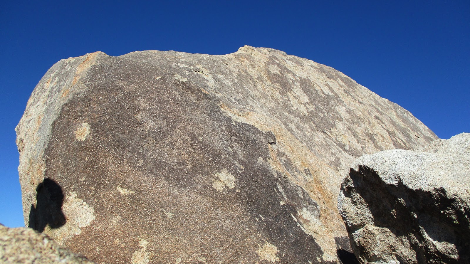
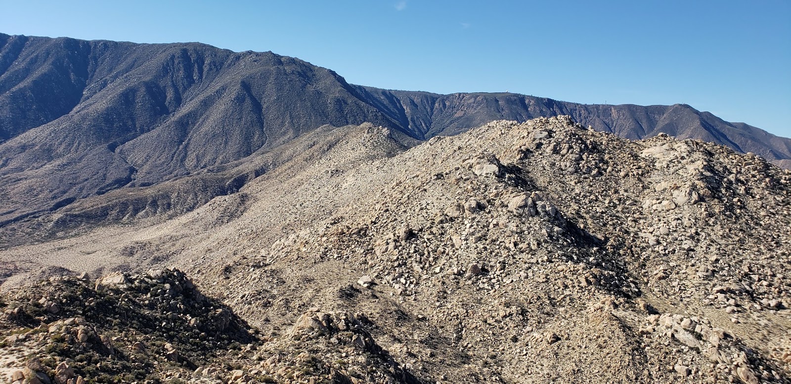
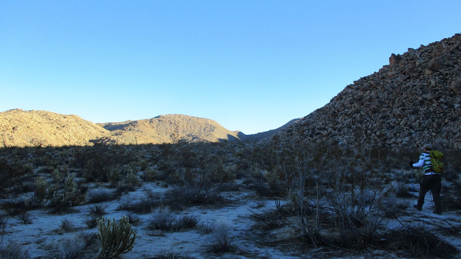
 Red Top from Canebrake
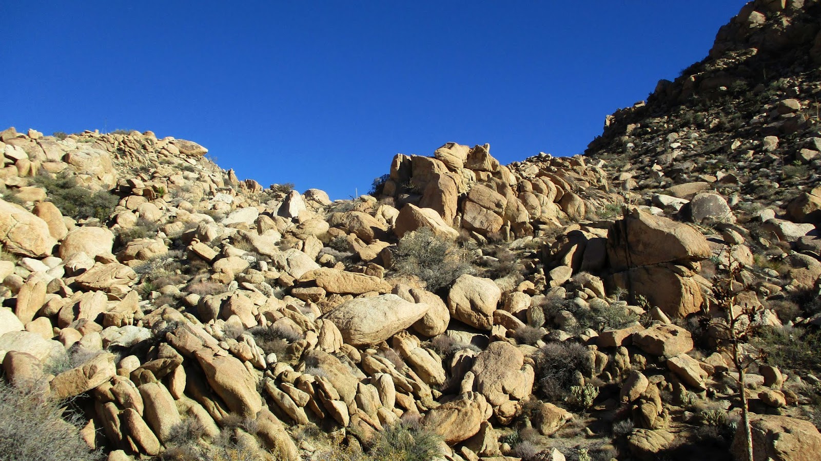
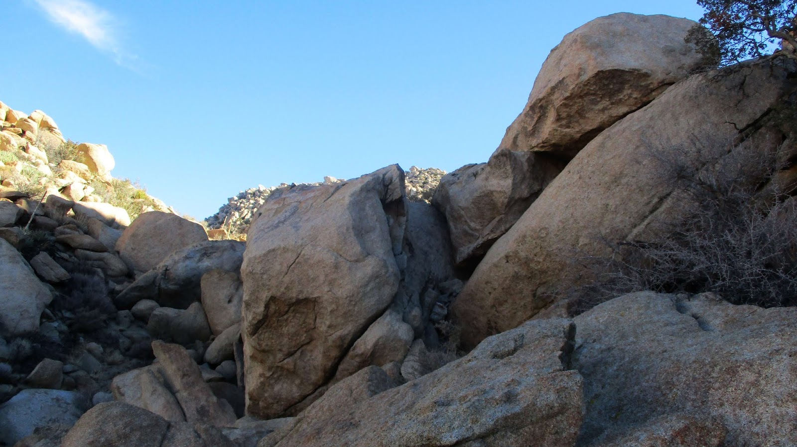
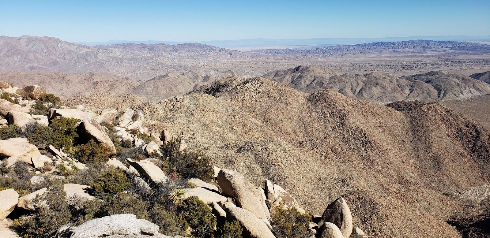
 First view of the summit
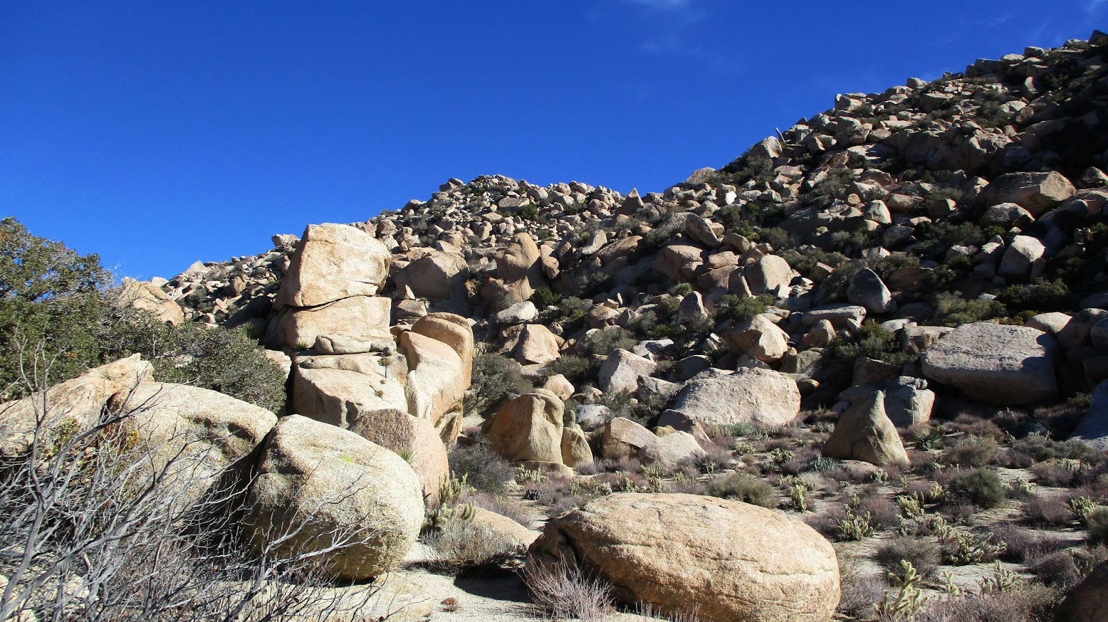
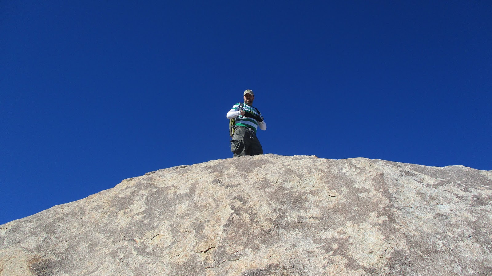
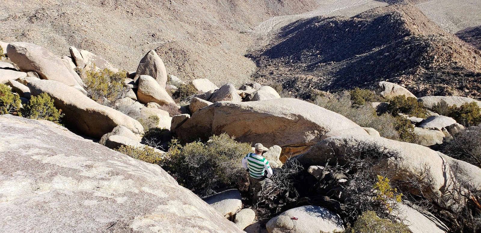
 Matt about 50' below the summit
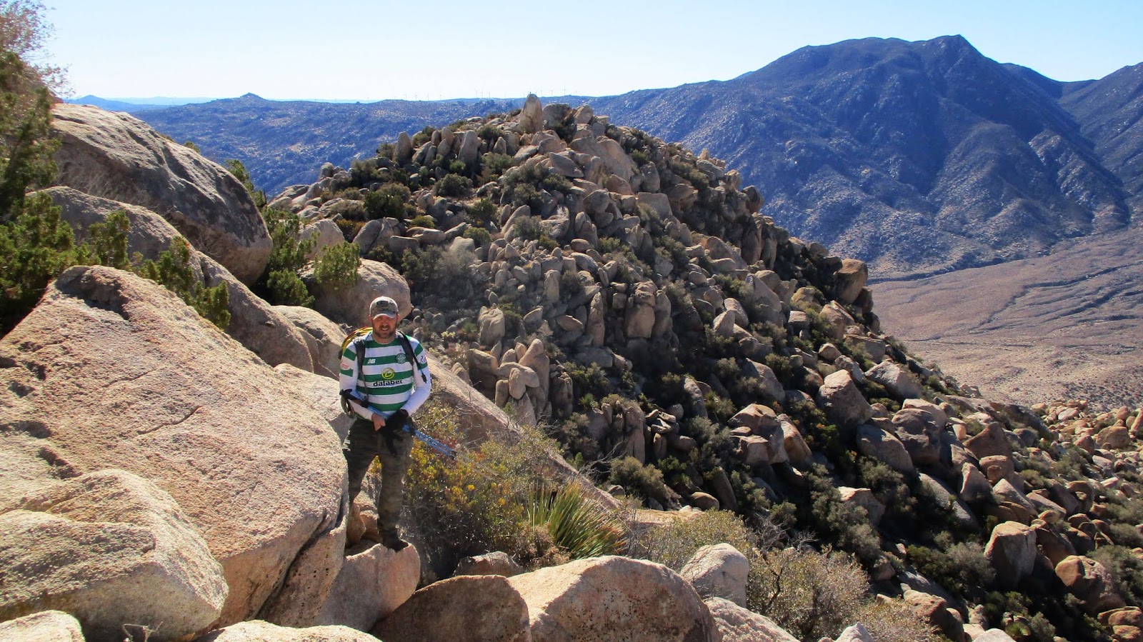
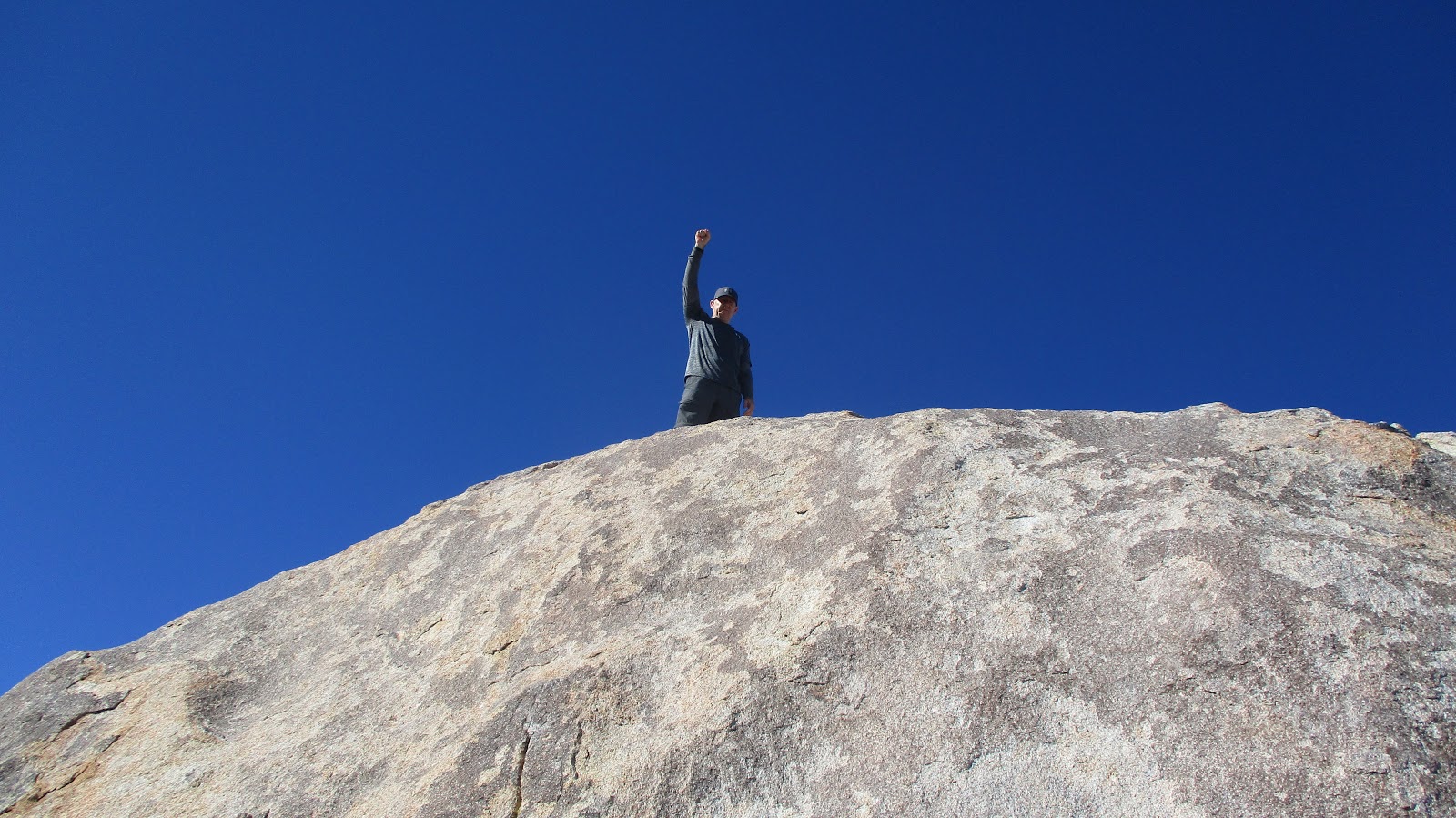
 Summit block
A single red can held the register underneath the summit block. The summit block was about 20', but another boulder was piled against it to provide a head start. While the block is rated class 3, the final 10-12' was a mostly smooth surface requiring a friction move. A slip would probably result in a slide back into the starting boulder. I got down by sliding into it. The views from the summit were fantastic. The Inner Pasture and Canebrake surrounded everything like a moat. For Matt, it was his 69th peak on the Sierra Club San Diego Peak List. For me, it was 100/100 and a perfect list finish. It took us about 2 hours to descend back to the bottom of the ascent gully and collect water cache #2. The walk back was long, interrupted occasionally by startled jack rabbits. We stopped at water cache #1 to retrieve what was left and ended up pouring out what we didn't need. We thought the sun would set when we reached the top of the pass, but we made it back to the truck just as twilight was fading. While the stats undersell it, I consider either Sawtooth or Red Top alone about equal in difficulty to Cactus to Clouds, and combined of greater difficulty. The challenges are very different, but the time required tells the tale. Red Top is a unique mountain that thoroughly captured my imagination. It is the Tyrannosaurus Rex of the SDC list. It's combination of remoteness, allure, and layered defenses make it one of my all time favorites. Had I climbed it first, my blog might be named "Red Top Hiker". 16.5 miles, 4238' gain, 12 hours 15 minutes.
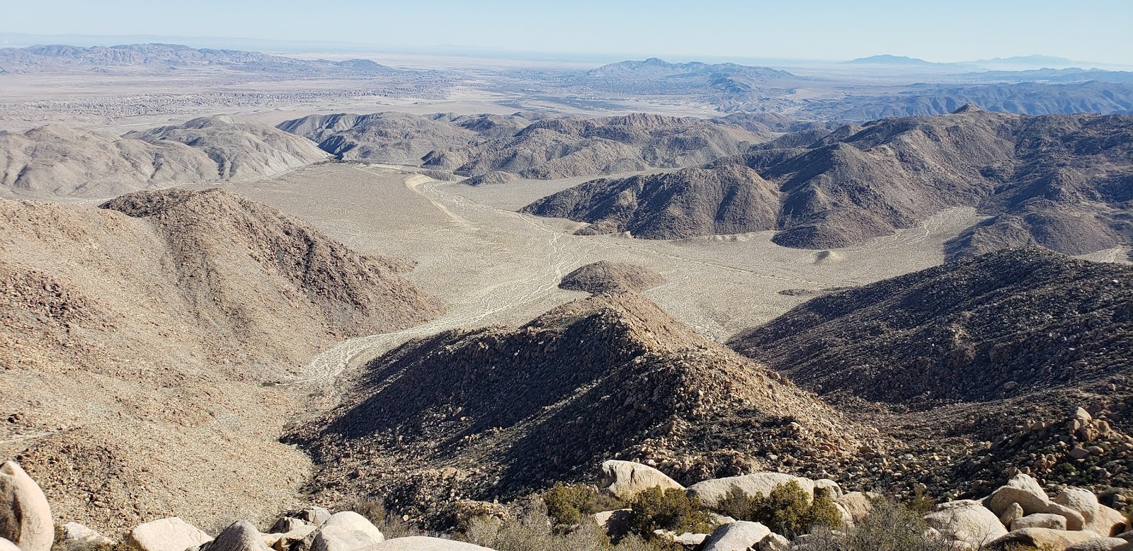
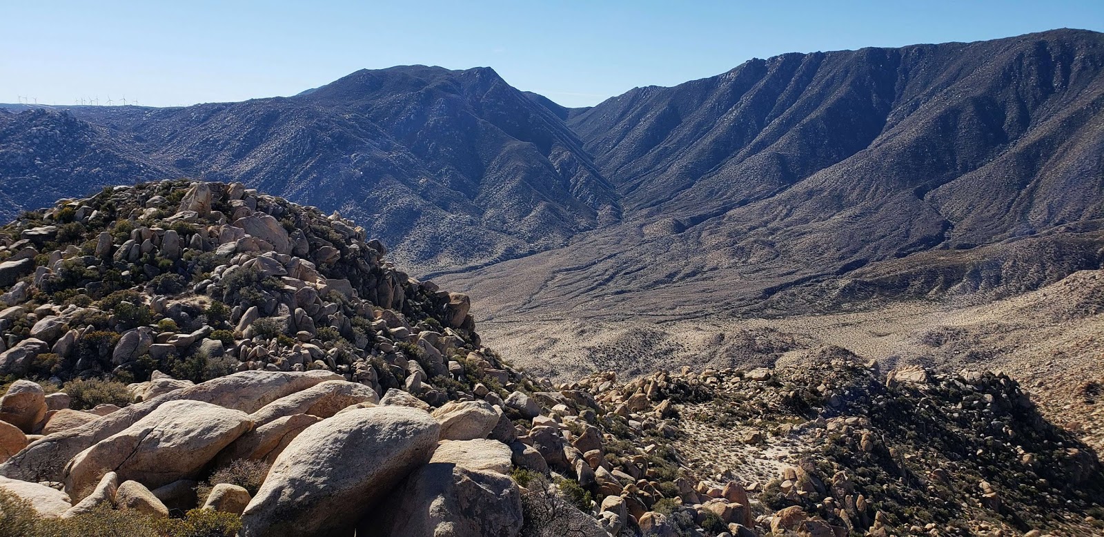
 Looking over at Sawtooth

 Returning to the pass
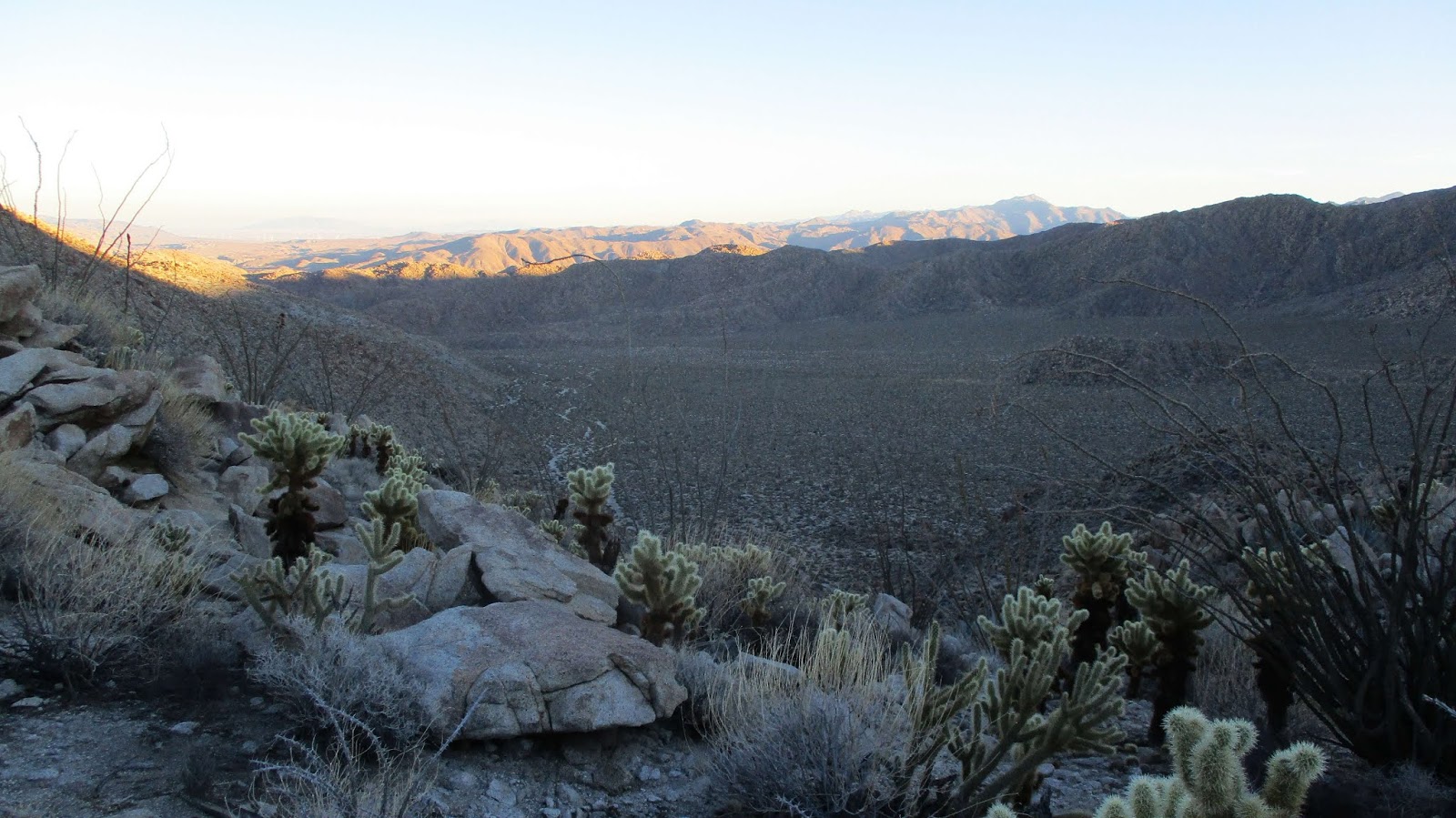 Looking down from the pass