Blackness
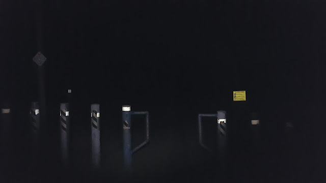
Slide Mountain near dawn
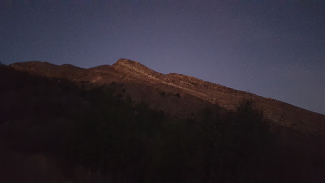
Slide Mountain from the saddle
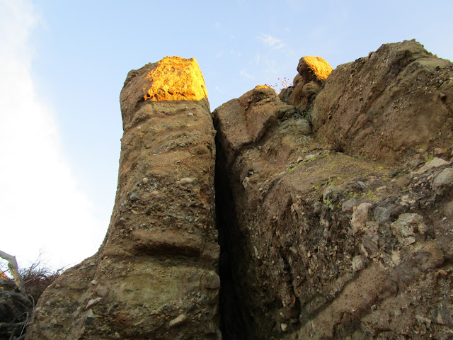
Trick lighting on these boulders
I didn't see the lookout tower until I was very near the top. The tower is not very high, but it doesn't have to be at that vantage point. The stairs were not locked so I could walk around the top of the tower and take in the excellent views of Los Padres. I was impressed with this angle on Cobblestone. The benchmark is intact, and the register sits just below a more formal sign in sheet for hikers. I put my signature to both. Under the tower I found a chest labelled WATER and indeed there were half a dozen bottle of water inside. A sign on the tower indicated they were looking for hikers to volunteer as lookouts. Check it out if you live in the area. There is also a portable restroom at the top. Everything looked well maintained.
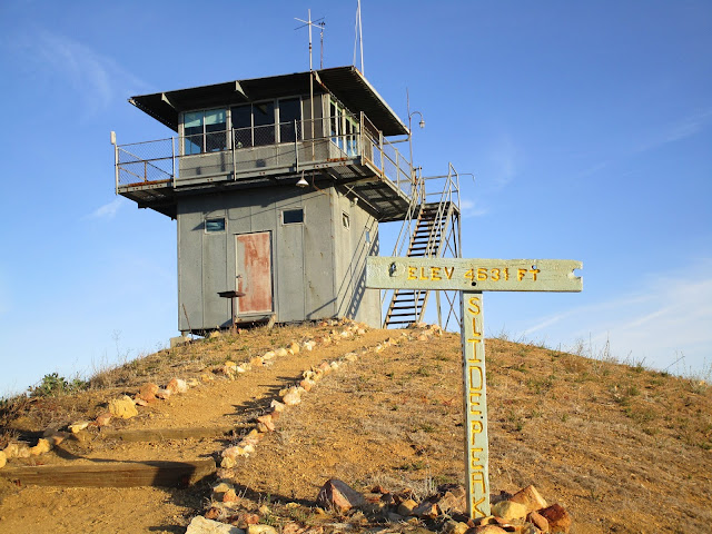
Lookout Tower
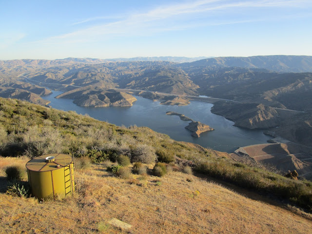
Pyramid Lake
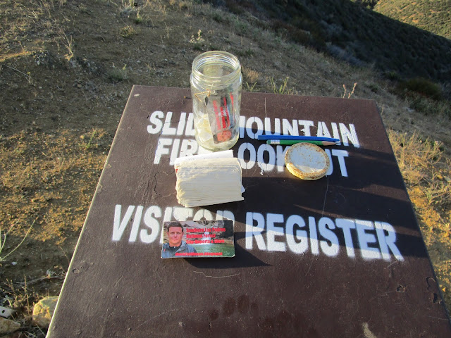
Since this is Los Padres, I was not surprised to find David Stillman
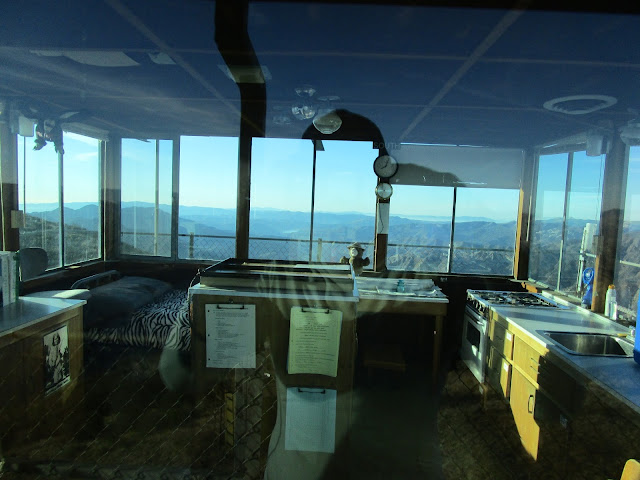
Inside the tower
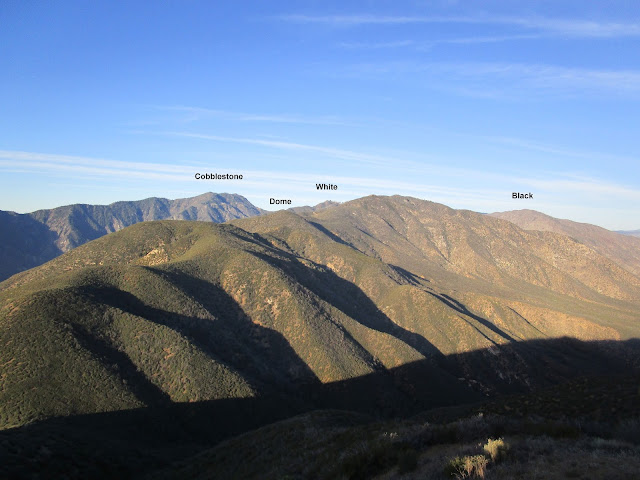
Mountains around Cobblestone
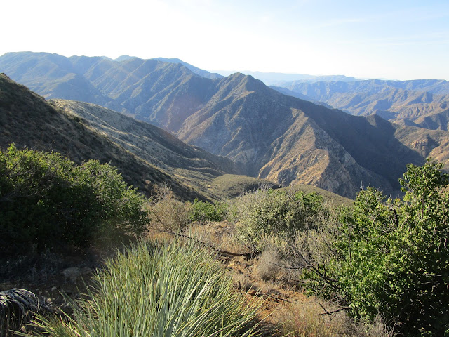
Instead of returning along the trail, I headed over to Peak 4618, then cross country down to the trail. The vegetation was a little thicker than expected so I may not have saved much time. Back on the trail, I jogged down to the saddle. From there, I struck out along the firebreak, planning to take the ridge back. This was far more interesting than returning on the trail. The firebreak and use trail were usually easy to follow, but there were a few places where they faded out. 1400' of descent came in the last mile and was sharply steep in places. I had to hunt around to find a way to descend from the final bump without going a half mile out of my way down a more gentle slope. The last obstacle was getting over Piru Creek and back to the car. From there, I went over to get Saddleback Butte in the Antelope Valley. It was not very exciting, but I did find a crashed drone on the east face. I returned home behind the Orange Curtain on I-15, meaning I lassoed the San Gabes with my drive. I-5 to 14 to 138 to I-15.
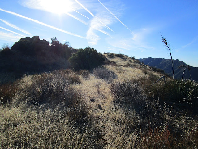
Ridge return
Heading over Peak 3900
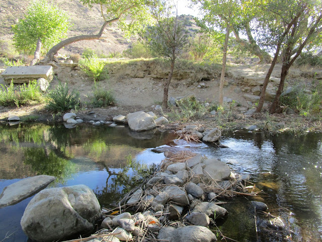
Crossing Piru Creek
Slide Mountain Photosphere