Little Desert, Pyramid, Pine, and Lion

Archived TRs for ranges in California.
Post Reply
User avatar
tekewin
Posts: 1189
Joined: Thu Apr 11, 2013 5:07 pm

Post by tekewin »

I drove south of Idyllwild for a 4-peak hike on the Desert Divide. It started at the Cedar Springs Trailhead. I parked in a small turnout just past the gated trail. It began as a dirt road and eventually turned into a single track. After passing through a total of four gates, I worked my way up tight switchbacks to the ridge where it intersected the PCT. The Santa Ana winds were blowing a steady 35mph with 50mph gusts. Just after the PCT intersection was Little Desert Peak, a questionable summit with 68' of prominence. It does have a cool view from a flat outcrop but no register or mark. Next up was Pyramid Peak. There was a good use trail that branches up directly beneath it. The PCT ran along the east side of Pyramid and this completely blocked off the wind. Most of the day, I would alternate between cool and warm depending on my exposure to the wind. I found two reference marks on Pyramid stamped "Morris", possibly related to nearby Morris Ranch. A gust of wind blew my hat off (twice) and I had to take the register down the east side off the peak to sign it. I didn't take any photos on Pyramid due to the wind.
Image

Image

Image

Image
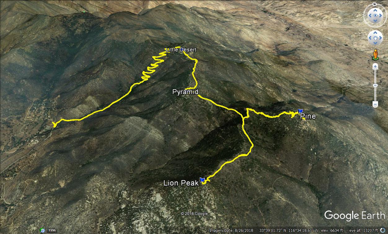
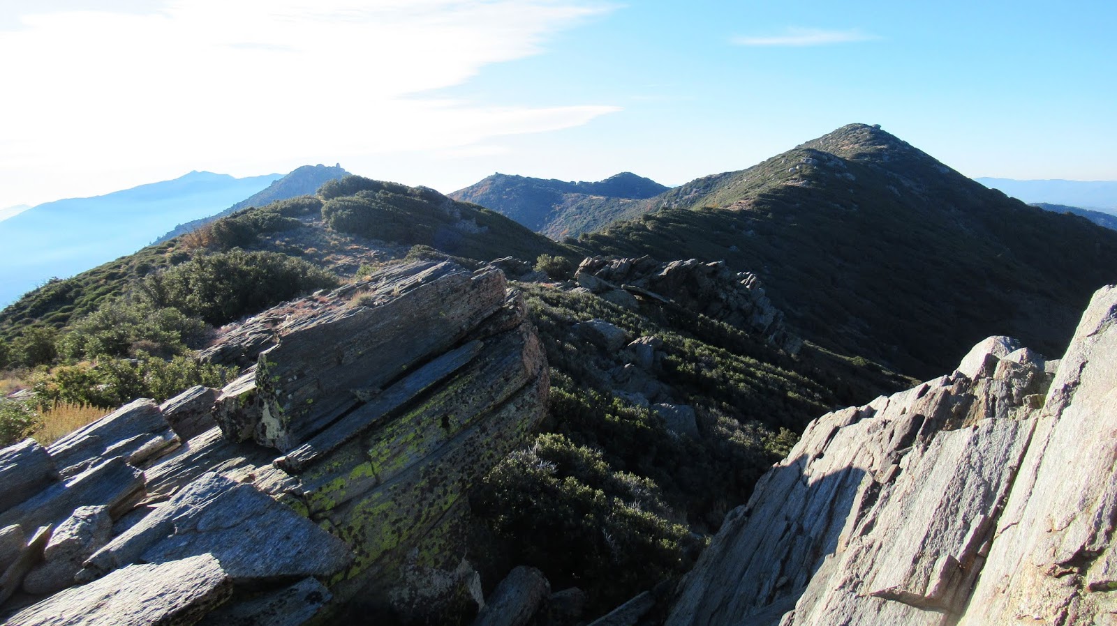
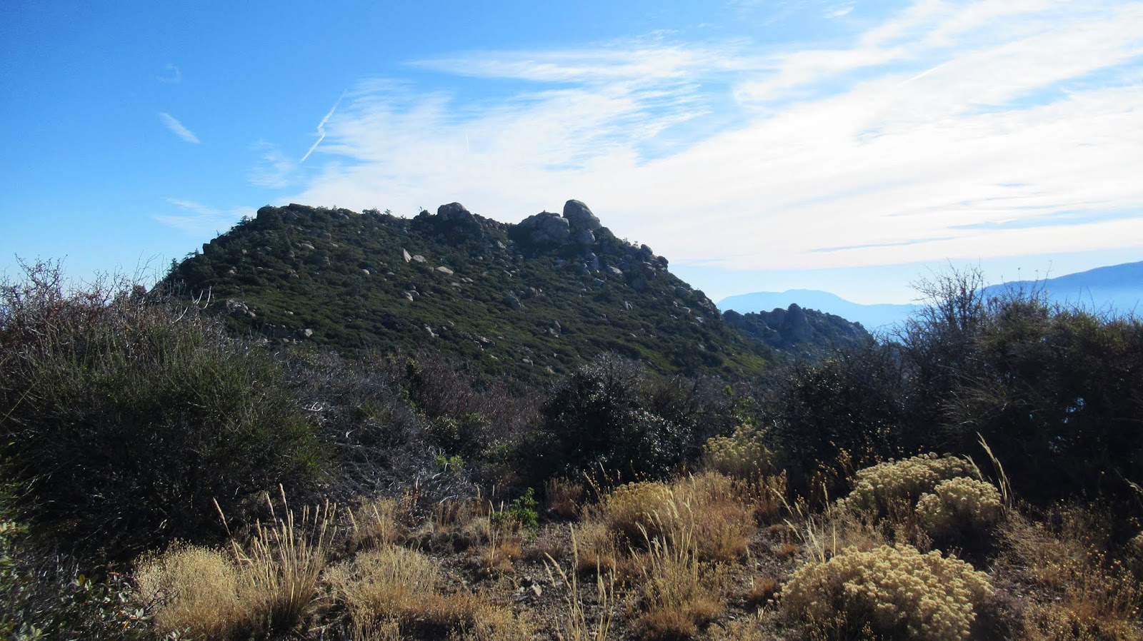
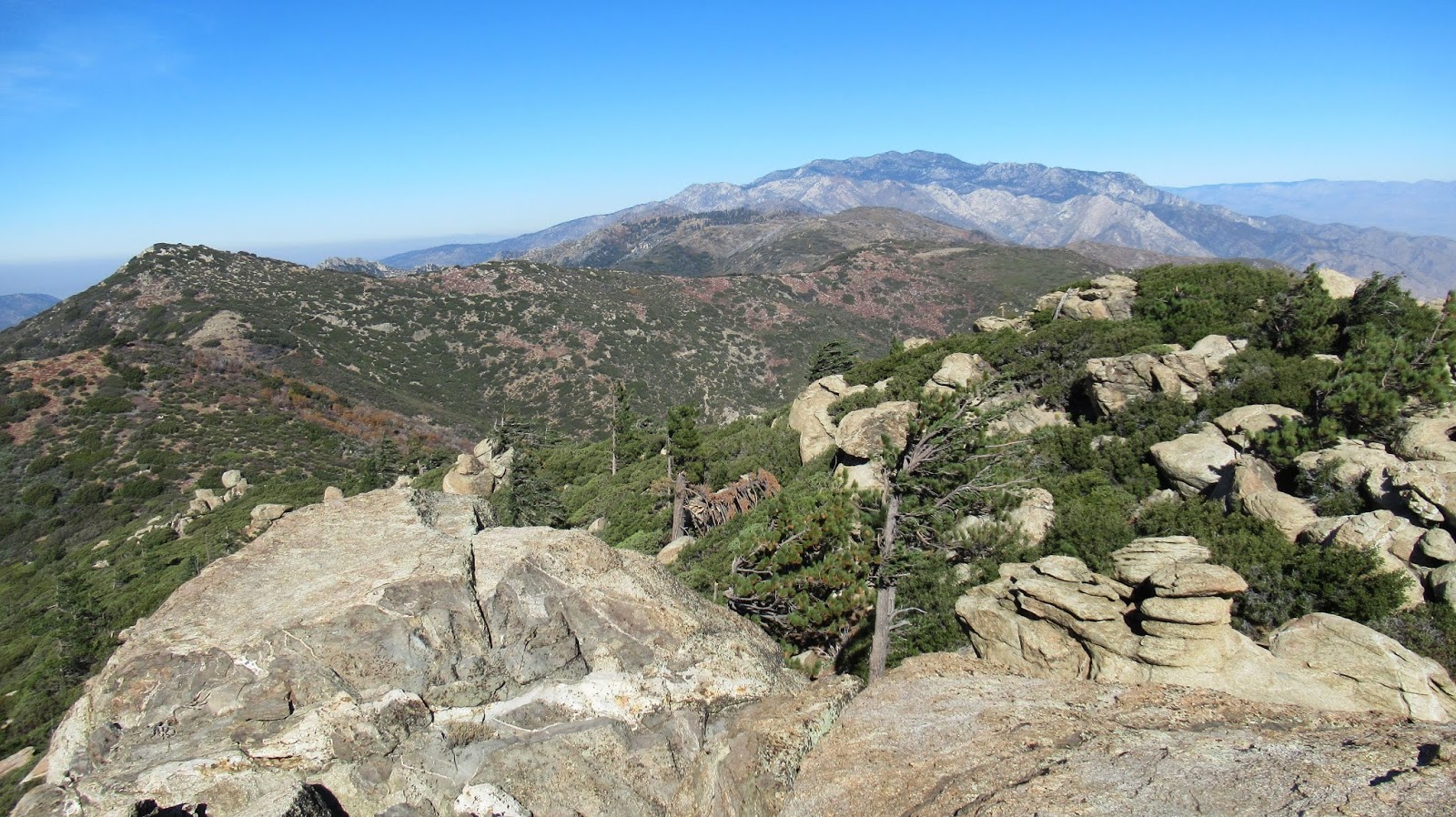
On the menu: Pyramid (right), Pine (left with prominent boulder), Lion (distant right)

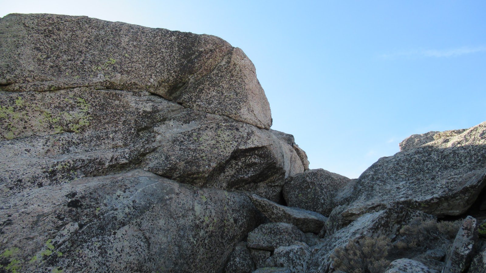
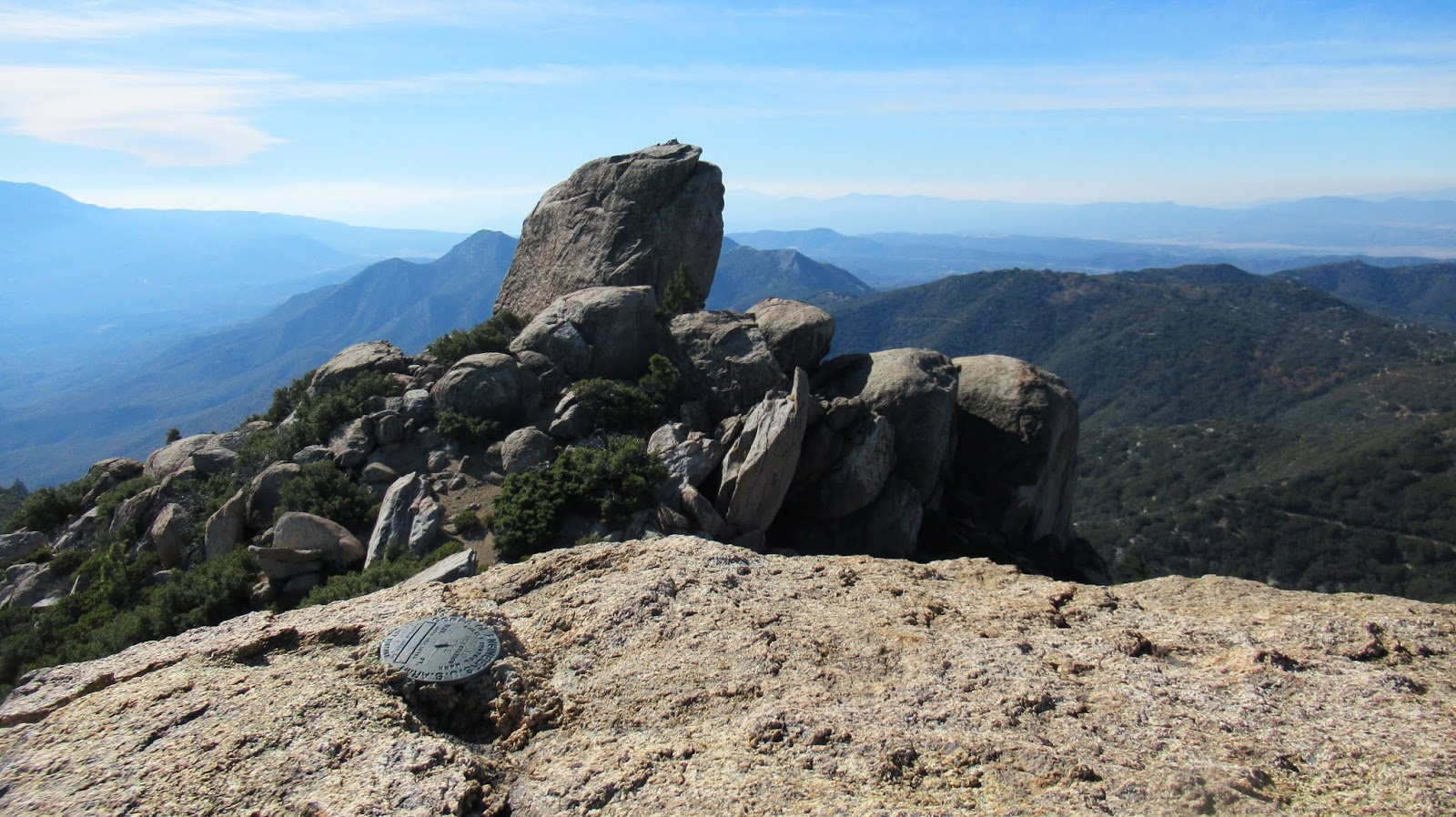
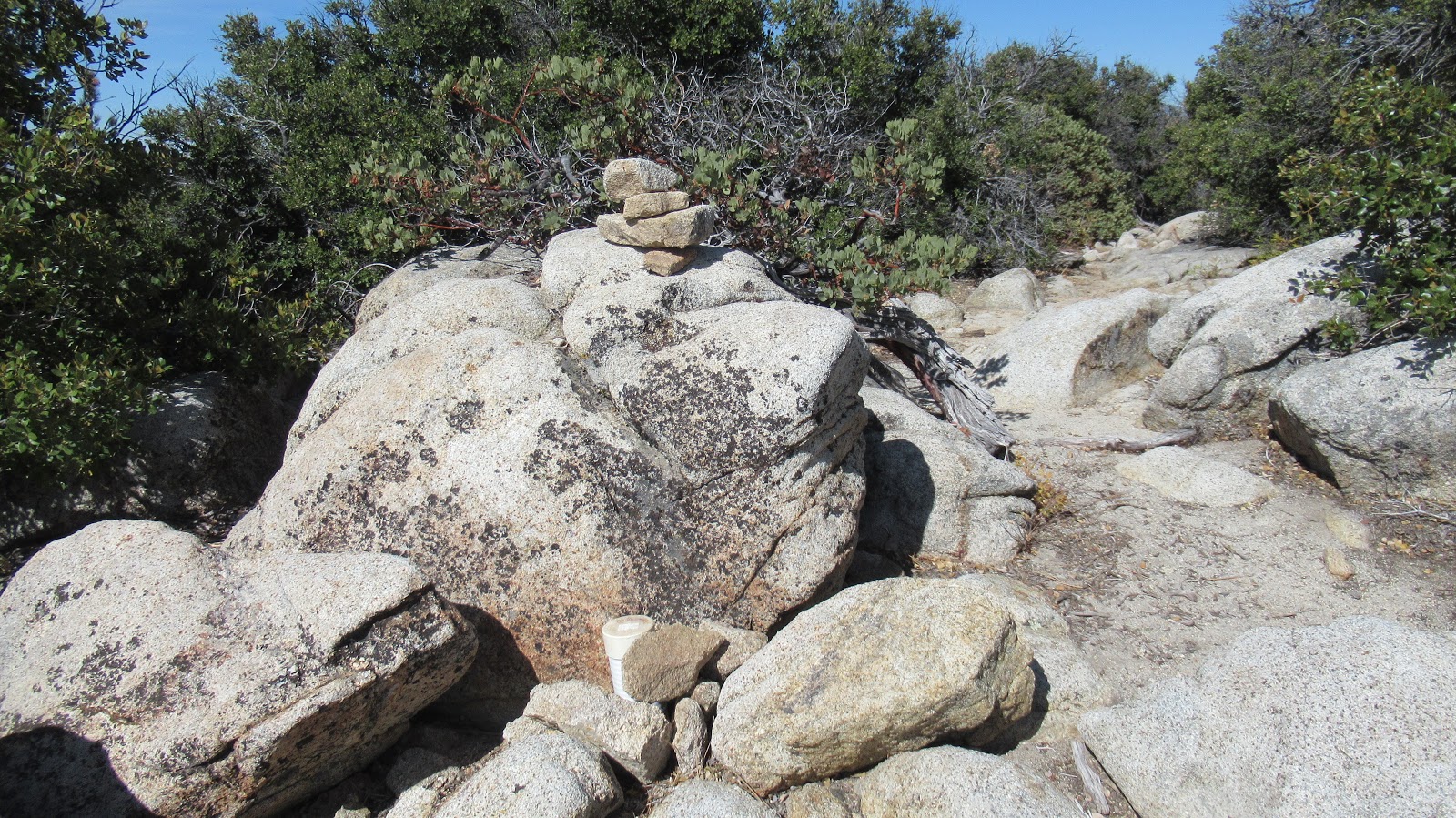
From Pyramid, I headed for Pine Mountain. The giant boulder on the south end was visible miles away. The use trail for Pine was marked with a small cairn, but could be easily missed. it follows a narrow, cut path through dense manzanita that is overgrown in places. The use trail follows low along the ridge before climbing more diagonally. I had a GPS track, but didn't need it on the way. I was feeling kind of smug about my route finding abilities, but that was fleeting. The HPS summit is an outcrop near the middle of the plateau. It consists of class 2 boulders, then one slightly harder move for the upper summit boulder. The register was below the top of the summit in a plastic tube. I left my hat and pack below, then surmounted the HPS summit. Because of the wind, I crouched low for photos. The benchmark was stamped "Eve". Pine had fantastic 360 views on both sides of the divide. The monster 60' class 5 boulder rose above the HPS summit. I had carefully reviewed trip reports for Pine and noted most people do not attempt it. I generally try to reach the highest summit point but with the wind and lack of a partner and rope, I skipped it. The wind would have made even a roped attempt very dangerous. Of all the reports I read, only Bob Burd braved it for the glory. When I started down, I got stuck in a loop just below the summit. I couldn't find the sliver of trail that continued down and across. Eventually, I relied on my GPS and a 20' crawl under manzanita to right myself, killing every bit of route finding smugness. Pine was my favorite of the day.
Image

Image

Image

Image

Image
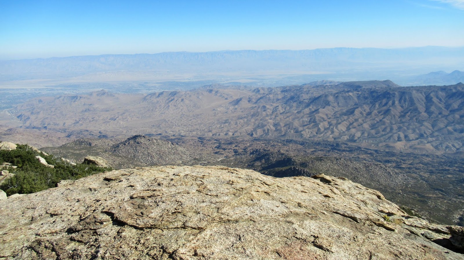
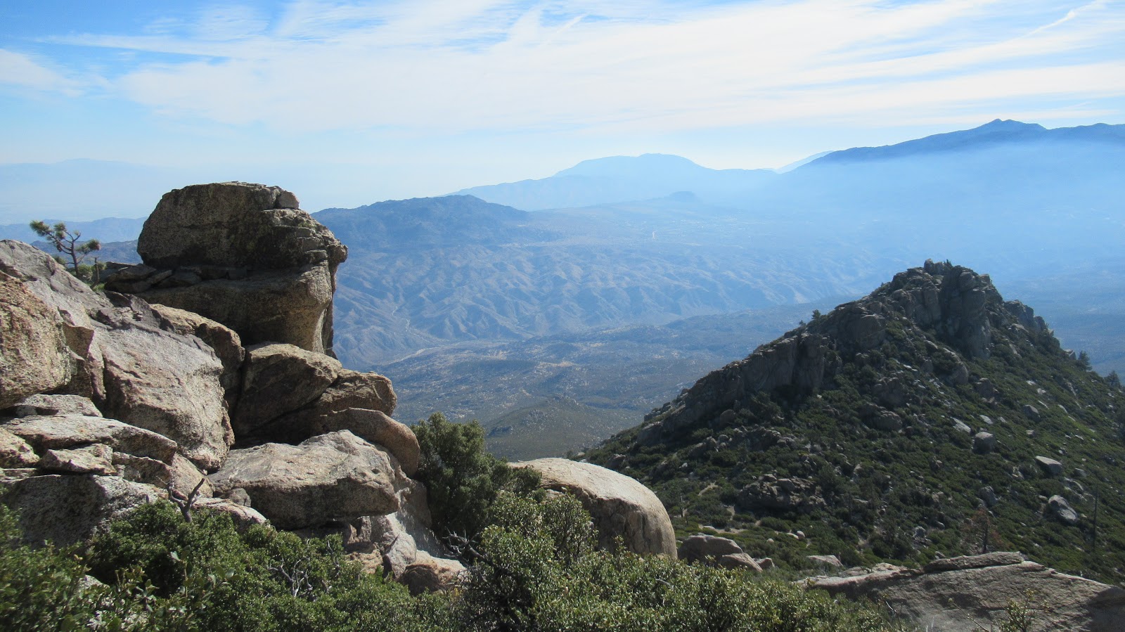
Looking back at Pyramid, Tahquitz and San Jacinto in the distance

Image

Image
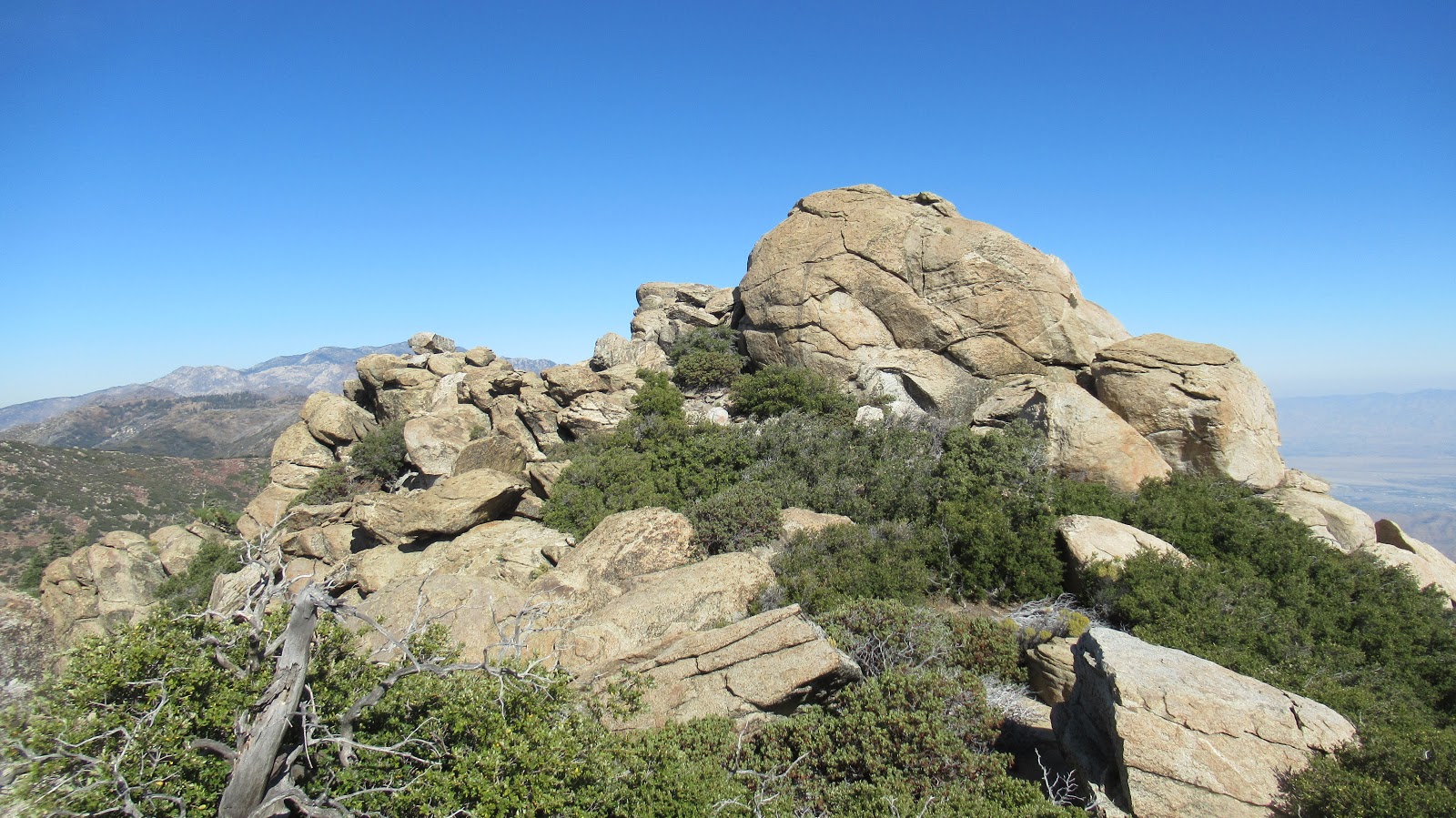
Pine HPS summit from the other side

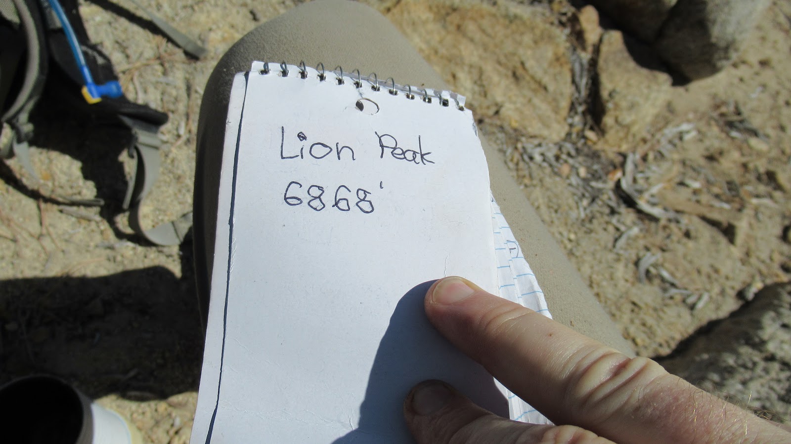
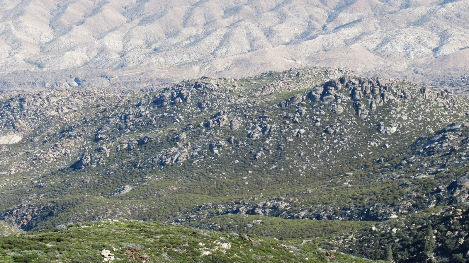
The trip over to Lion Peak was easy and mostly sheltered by the ridge. A clear use trail led up a class 2 path to the flat summit. Lion was the only summit not battered by wind, being protected by trees and vegetation. There were two register books with many names. Without the wind pushing me around, I rested on Lion to eat and empty debris from my shoes. On the return trip, I ran into a PCT through hiker. I hadn't considered this a possibility, but a small percentage of hikers go north to south, so he was just finishing up. He looked fresh and in good spirits, saying he expected to finish in about 7 days. I descended back to Cedar Springs without incident. This set of peaks was great fun. While the Pine monster block is far more difficult, Antsell Rock remains the king of the divide.

Image
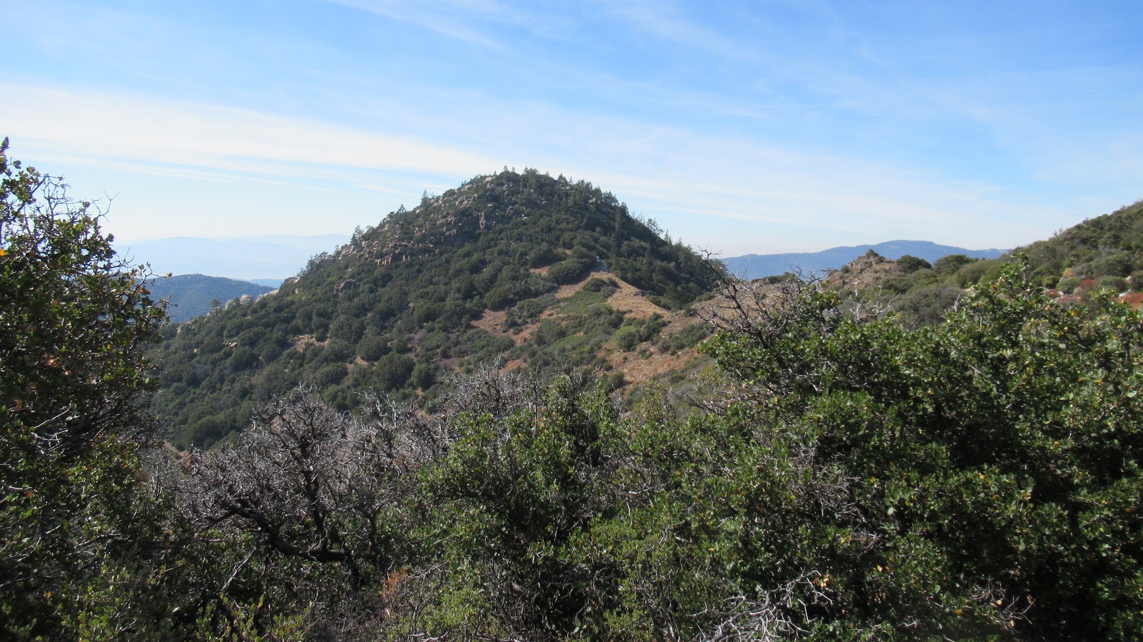
Approaching Lion Peak
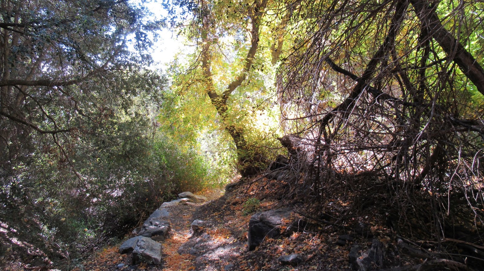
Image
Lion summit

Image

Image

Image

Image
User avatar
headsizeburrito
Posts: 279
Joined: Wed Nov 15, 2017 1:18 pm

Post by headsizeburrito »

Great photos, really makes me miss that area! Glad you didn't lose your hat.

The PCT thing is called "NOBO" (northbound) or "SOBO" (southbound). North is the standard as it is on the AT, some some go south for schedule reasons, to have fewer people around, etc. Some people do one section north and one south ("flip flopping"), often to put off snowy sections until later in the season when they are safer.
User avatar
dima
Posts: 1310
Joined: Wed Feb 12, 2014 1:35 am

Post by dima »

Neat! Too lazy to look at the map. Where're these in respect to Antsell rock?
User avatar
tekewin
Posts: 1189
Joined: Thu Apr 11, 2013 5:07 pm

Post by tekewin »

dima wrote: Neat! Too lazy to look at the map. Where're these in respect to Antsell rock?
Toward the south end of the divide. The main peaks from north to south:
South Peak
Antsell Rock
Apache Peak
Spitler Peak
Palm View Peak
Cone Peak
Little Desert Peak
Pyramid Peak
Pine Mountain
Lion Peak
User avatar
HikeUp
Posts: 3831
Joined: Thu Sep 27, 2007 9:21 pm

Post by HikeUp »

dima wrote: Too lazy to look at the map.
That warrants a ban. 3 days in the sin bin. ;)
User avatar
tekewin
Posts: 1189
Joined: Thu Apr 11, 2013 5:07 pm

Post by tekewin »

headsizeburrito wrote: Great photos, really makes me miss that area! Glad you didn't lose your hat.

The PCT thing is called "NOBO" (northbound) or "SOBO" (southbound). North is the standard as it is on the AT, some some go south for schedule reasons, to have fewer people around, etc. Some people do one section north and one south ("flip flopping"), often to put off snowy sections until later in the season when they are safer.
I had April-June stuck in my head as through hiker season in SoCal. It's still a somewhat mysterious world to me.
User avatar
Sean
Posts: 3725
Joined: Wed Jul 27, 2011 12:32 pm

Post by Sean »

Thanks for the report! And, remember, we don't lose the trail. We temporarily misplace it.
User avatar
tekewin
Posts: 1189
Joined: Thu Apr 11, 2013 5:07 pm

Post by tekewin »

Boy, did I misplace it!
Post Reply