First up was the Rancho Santa Ana Botanic Garden off Foothill Blvd. The Garden contains a little-known landmark called Indian Hill, which I discovered by looking at Garmin BaseCamp way too much.

Tiny mountain icons on maps immediately grab my attention, after which I'm often irresistibly compelled to visit the location in reality.
After paying $8 to the ticket lady, she handed me a free map of the Garden.

Sweet! A free map to add to my collection, and Indian Hill actually appeared on it. This made me feel slightly better about spending money simply to bag an urban bump. Also, to get my money's worth, I decided to walk the entire loop around the property and actually read some of the informational signage.

I liked that sign. It depicts a scene from Blazing Saddles, starring Gene Wilder, who died recently. A series of such signs showed native plants and described how they were used in Hollywood movies. Beside each photo were examples of the real plants. This particular one happened to concern chaparral yucca.
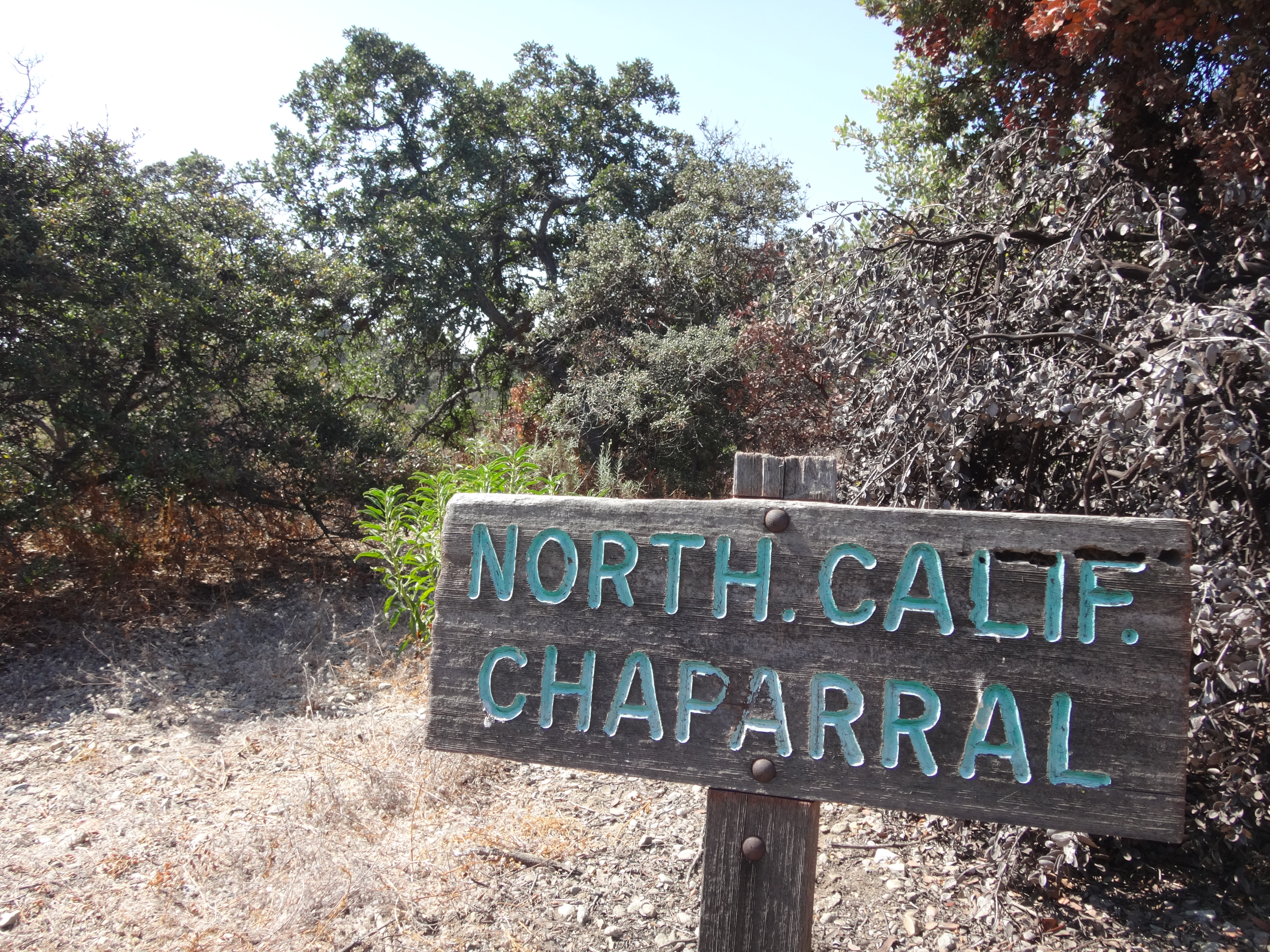
The Garden, which focuses on native plants, has sectioned them by area of the state or habitat type.
It's a big place and took two hours to walk all around and read some of the signs. One of the more interesting items was this Boojum Tree.
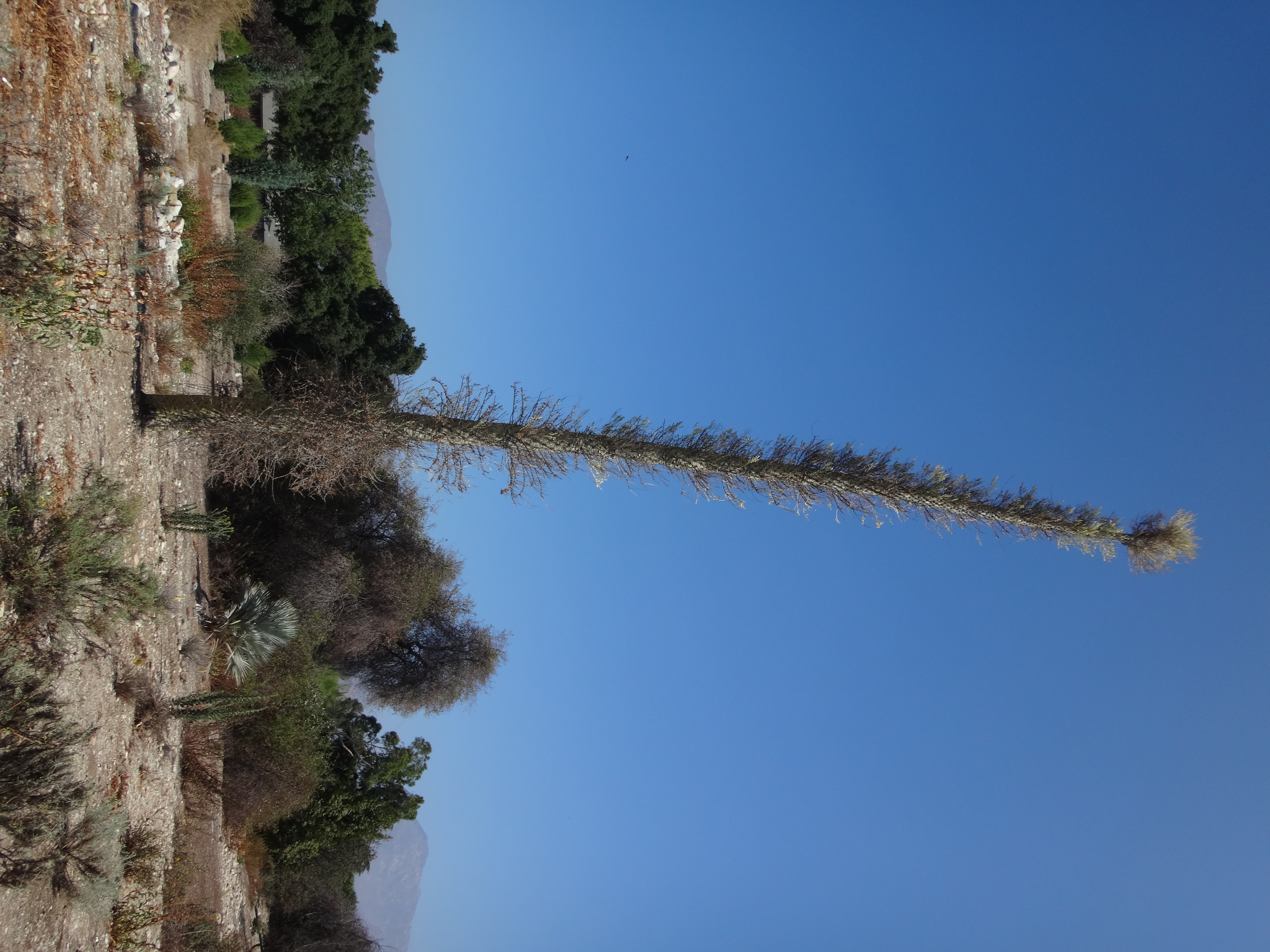
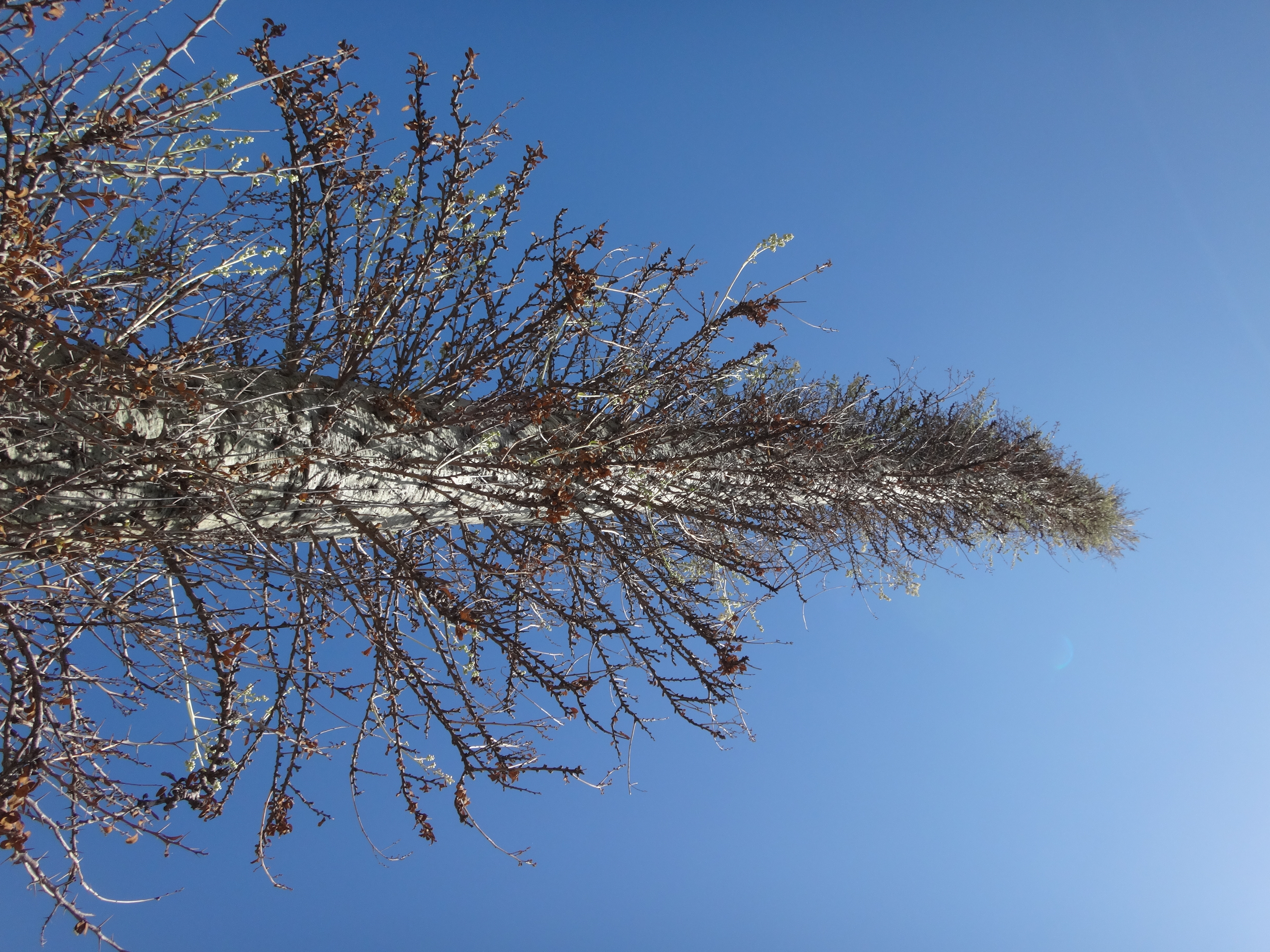
According to the sign, it's part of the ocotillo family. I've seen ocotillos in Anza-Borrego, so it was cool to have some idea of what the sign meant. And the tree did sort of resemble an ocotillo. Probably because it was one.
Anyway, I capped off my morning stroll with a tour of Indian Hill. The map called it a "Mesa," and after ascending maybe fifty feet from the lower level, the hill was indeed long and flat. I walked along the various garden footpaths and miniature ponds, ultimately locating a probable highpoint in the Trustees Oak Grove.

A ridiculous sculpture ruined the peak for me, so I left, feeling somewhat less happy than earlier, when I got the free map.
It was noon. I ate lunch at Subway before driving to the Claremont Hills Wilderness Park to begin my second walk of the day.
It costs three bucks to park at one of the designated lots off Mills Ave. But I totally scored, because someone had left their paid permit atop the dispenser, and it was still valid for another two hours.
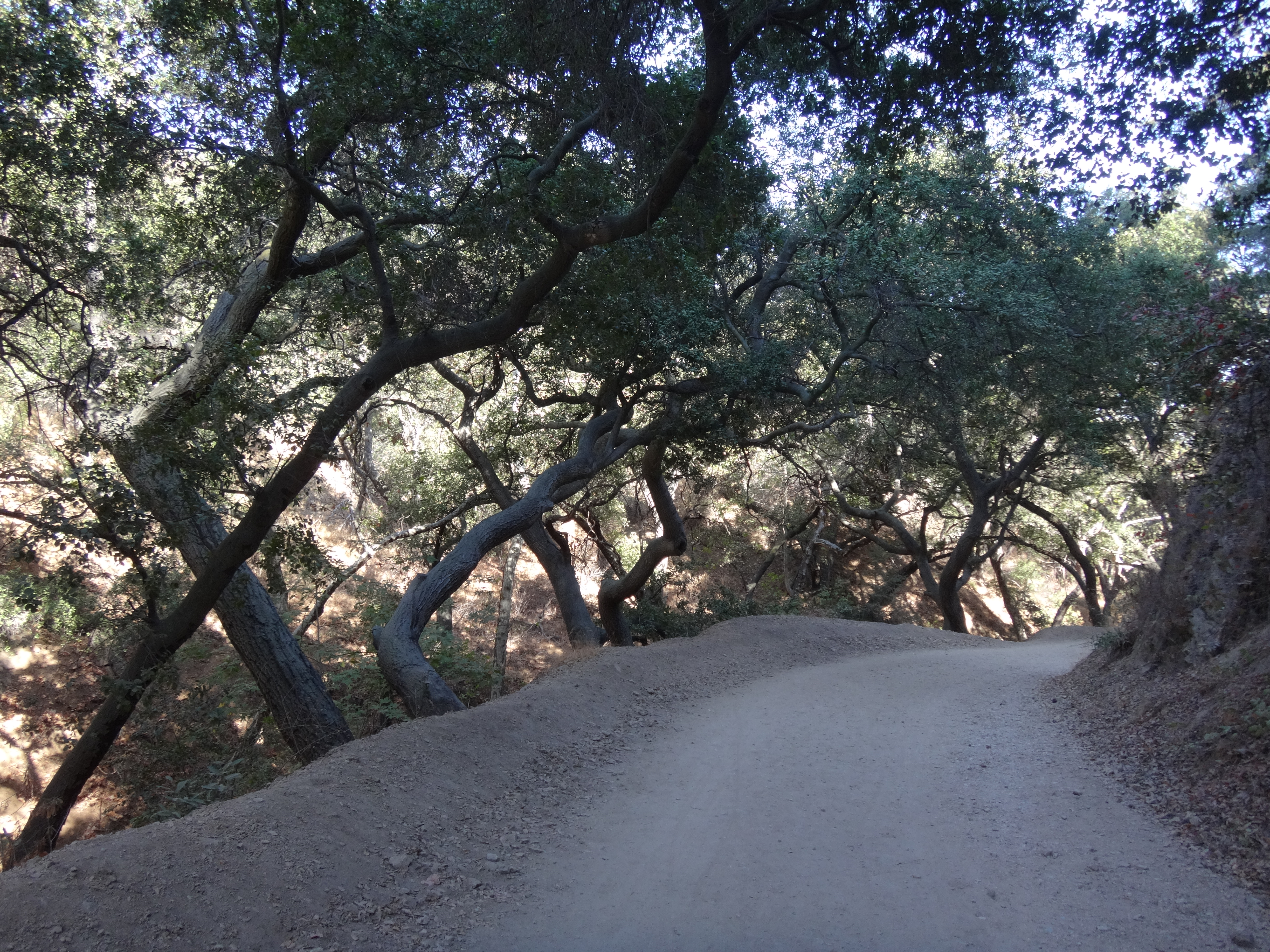
Off I went from the lower, overflow parking lot, crossing the street and heading west on the paved Thompson Creek Trail, which follows the concrete flood control channel.

After a half-mile or so, I left Thompson Creek and turned right, through the Pomello Drive gate. There was some signed private property, which I avoided by following the dirt trail beside a power pole on the right.

After this, I reconnected with a paved road. And soon after, the pavement split right, with a dirt track going left.
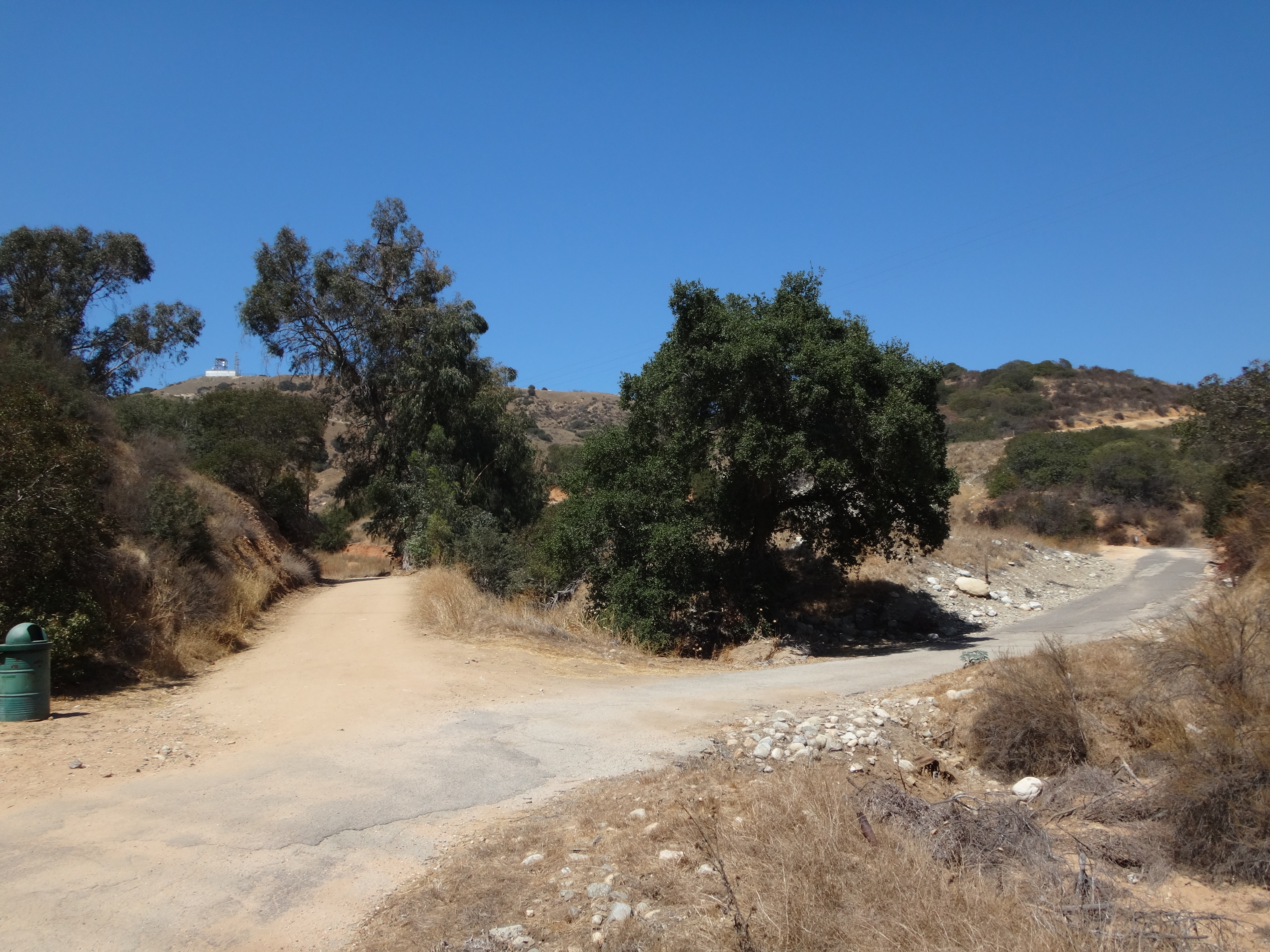
I knew that the unsigned left branch led to La Verne BM, which I had previously visited. This time my first goal was Gail Mountain, which required that I continue on the pavement to the right.

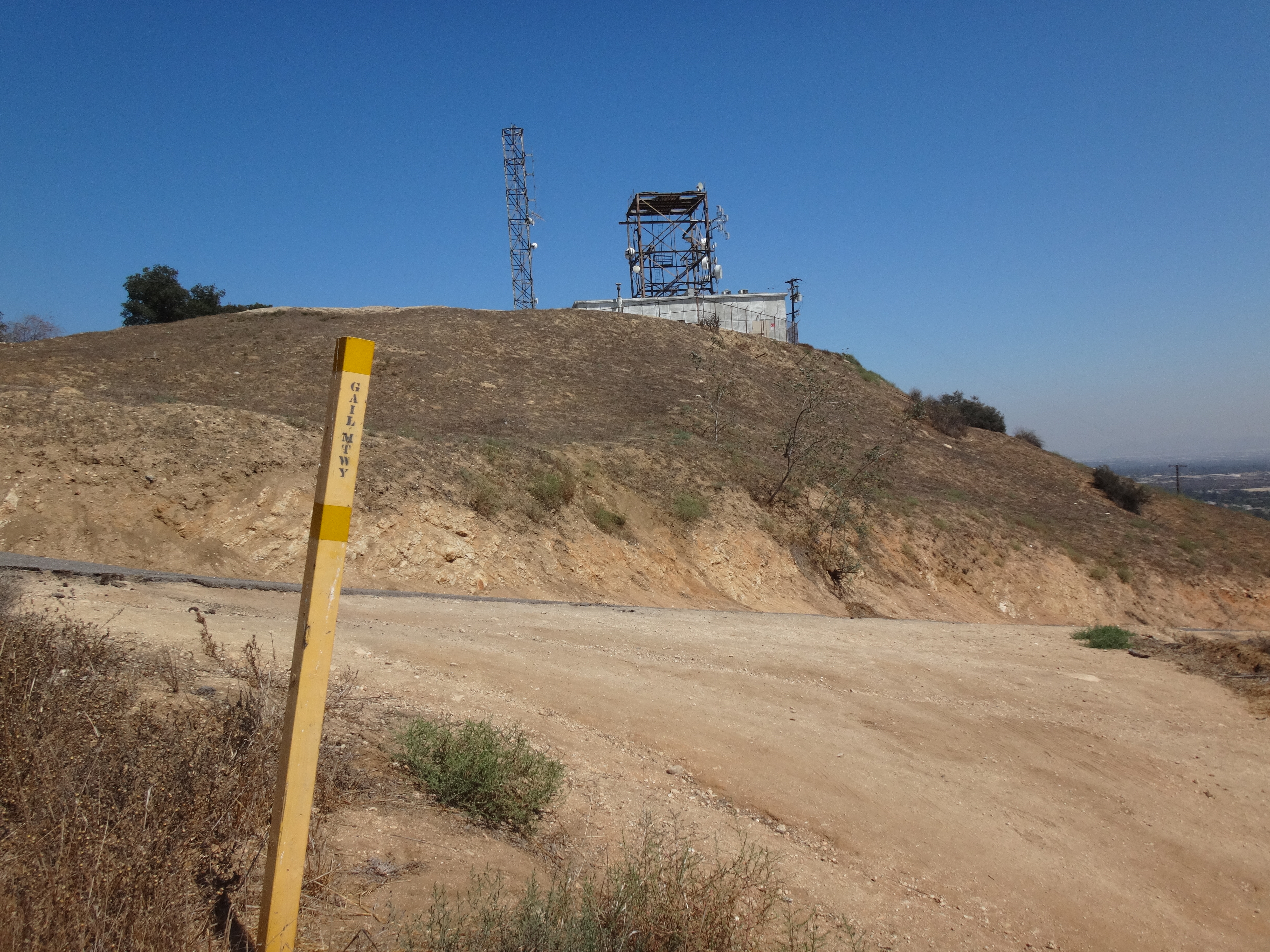
Gail can be identified easily due to its radio tower facility.

Unfortunately, confusion exists regarding the spelling of its name. I suspect this is because of two different spellings on signage within the Park itself.
This sign says "Gail Mtwy,"
while this one says "Gale Mountain."

The USGS spells the associated canyon as "Gail Canyon." So that's the spelling I'm adopting. Not that the USGS is infallible. But in this case I simply don't trust a city agency that produces contradictory signage.
From Gail, I took Johnson Motorway to Windy Point, seen here on the left.

After passing a junction with the Burbank Canyon Mtwy, Johnson climbed to a saddle with a bench, where I turned left and climbed up a steep ridge path to the summit.

Incidentally there is some confusion about this peak as well. Summit Post has it as the first 2400' bump above the junction with Burbank and Johnson's Pasture Mtwys. Whereas Peakbagger puts it north of the shade shelter, on the 2480' bump along Cobal Canyon.
I'm going with Summit Post, because its bump clearly receives more attention, plus the views are more impressive.
Coming down I took Cobal Canyon fire road, looping back to Mills Ave. and my car.