The part of the PCT just before this one, from Big Bear to the dam, was detailed on my Trip Report from 2016, for those who like continuity. The Pilot Fire burned soon afterward, and that put a pause on finishing this section. It's at a fairly low elevation, so it was mostly chaparral that burned, but it's growing back nicely now. It was time to get this done, for completion's sake, if nothing else.
We took two cars from San Diego and left one of them near the Highway 138 ramp at I-15, then drove to the trailhead parking lot on Highway 173 near the dam in the other one. We may have stealth-camped in my car that night, because we started the hike very early the next morning.
Day 1
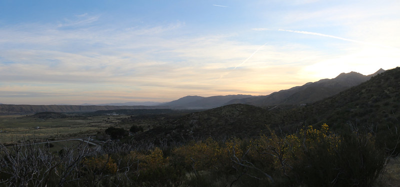
We woke up before dawn and got ready. The plan was to hike a few miles to the only reliable water in this area, then hike a few more miles, to one of the few campsites in this area that was roughly midway between the trailhead and the Silverwood Lake campground. The plan was to hike six miles the first day, then eight miles or so the next. Pretty wimpy, like I said.
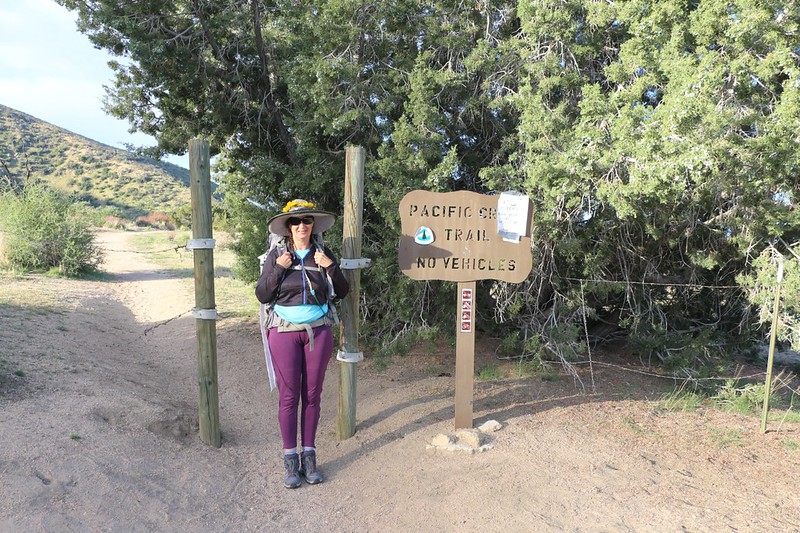
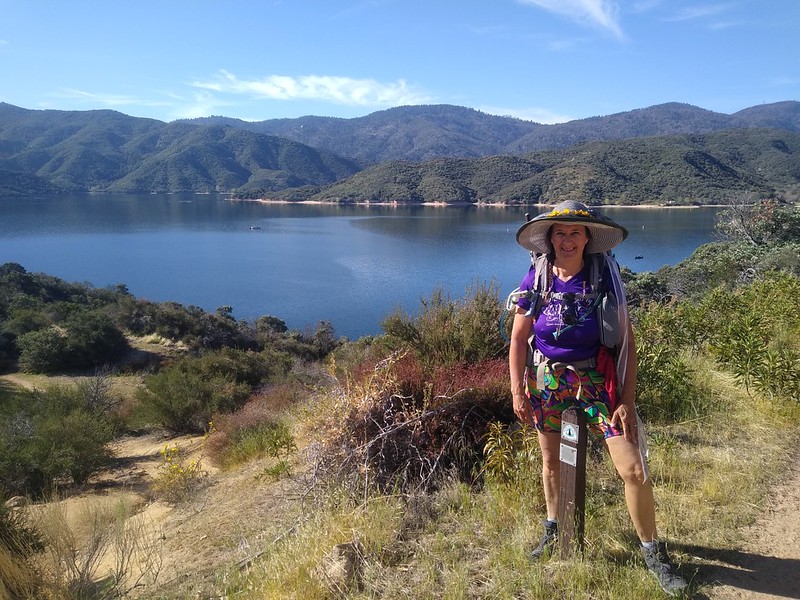
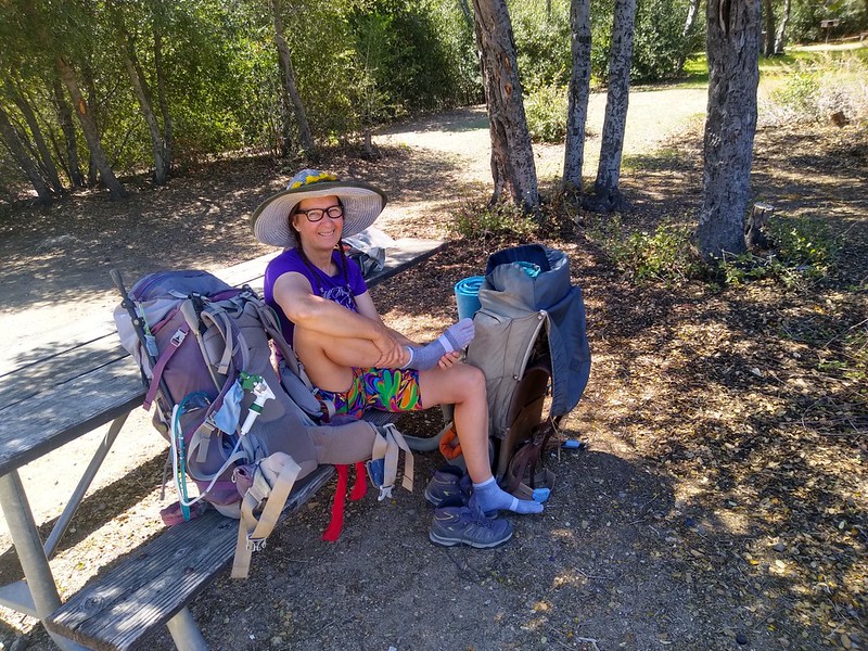
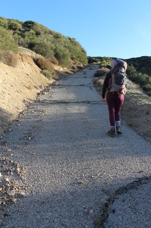
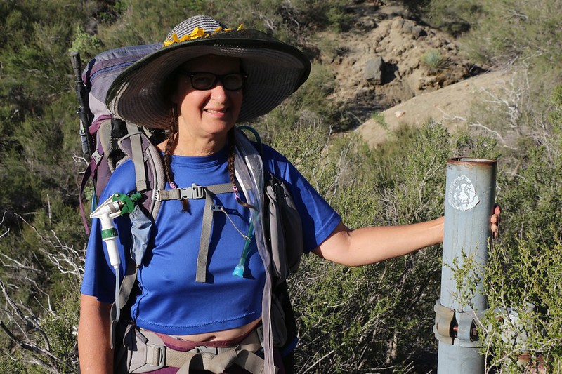
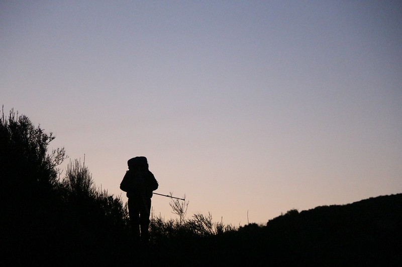
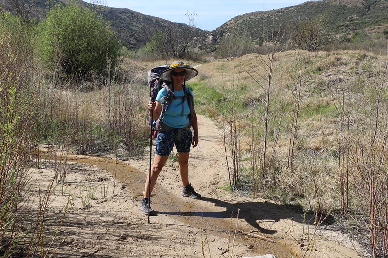
Vicki, ready to hike at the PCT Trailhead
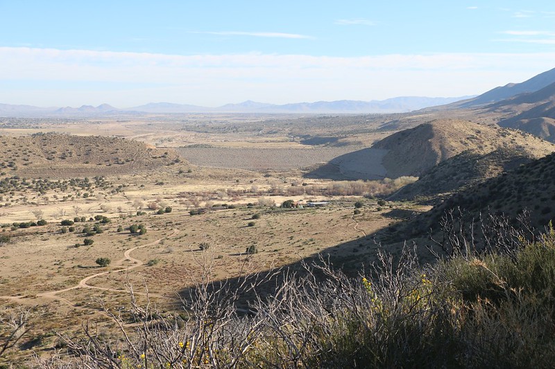
Looking north toward the Highway 173 Trailhead and the Mojave Dam. My car is down there somewhere
In the Spring of 2020 the hillsides were covered with yellow Poppy Bush flowers, mainly in the areas where the Pilot Fire burned
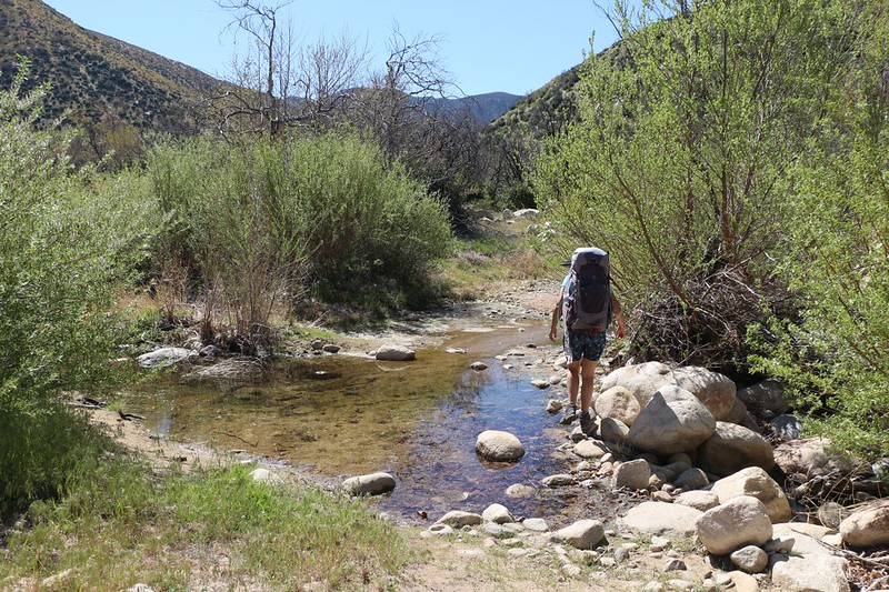
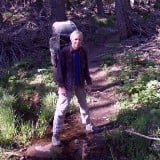
Vicki crossing Grass Valley Creek where we purified two gallons of water. I had to carry that extra 16 pounds for three miles.
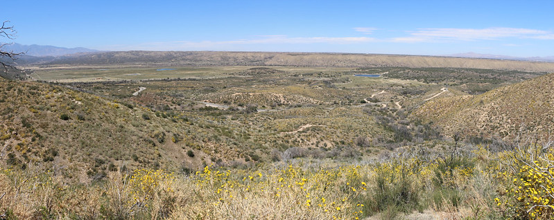
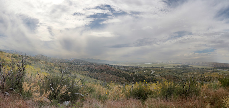
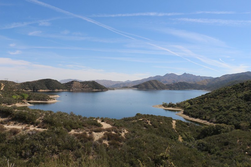
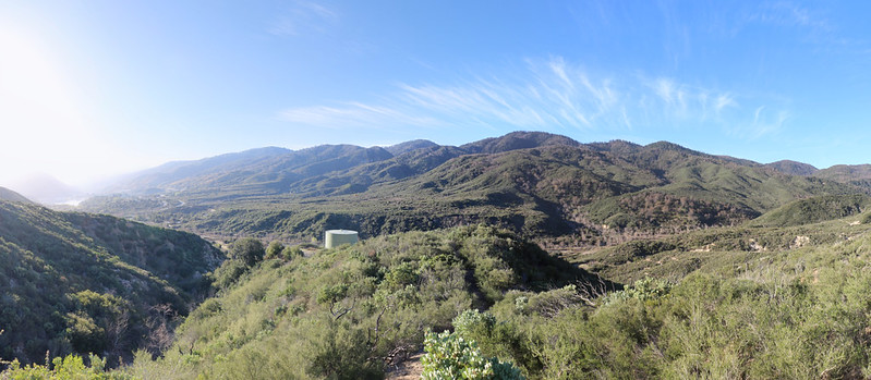
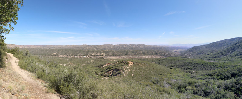
Panorama view north looking out over the Mojave River Forks
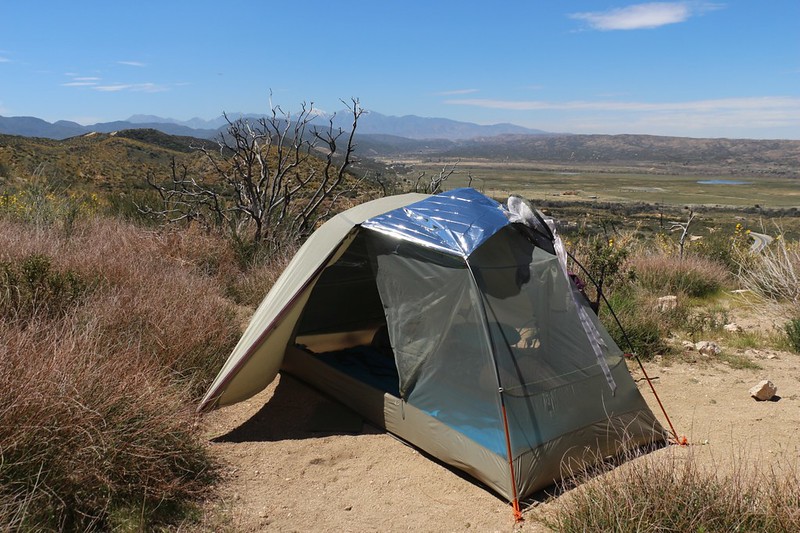
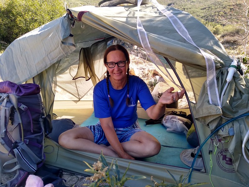
It was still early afternoon when we got to camp, and hot, so we set up our tent using a mylar space blanket to block the sun. This works great!
We laid around in the shade of the tent with the flaps wide open to catch any stray breezes. We both read our books and generally took it easy. Some might say that we should have kept on hiking, but to them I say: "Why?"
High clouds came in as the afternoon progressed
Day 2
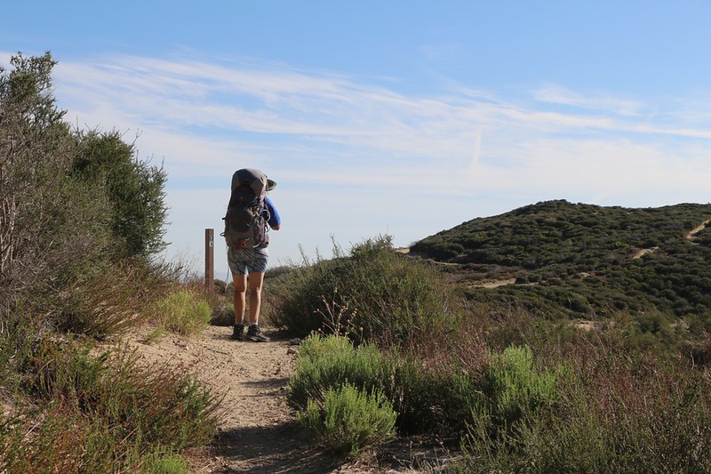
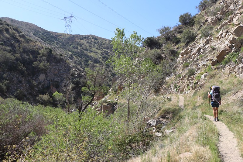
Technically, we were northbound on the PCT, but the trail went west almost exclusively in this section. It stayed high up on the hillside above the Mojave River Forks until it met up with the Silverwood Lake dam, after which it climbed up and over a ridge to arrive on the shore of the lake. There were at least five miles of trail along the northern lakeshore, so it was a large lake. At one point we cheated and took a dirt road "shortcut" that actually saved us almost a mile of hiking. And we didn't care that we skipped a bit of PCT. What with all the fire closures and endangered frog restrictions, nobody hikes the entire PCT any longer. I figure that just doing what you can is good enough.
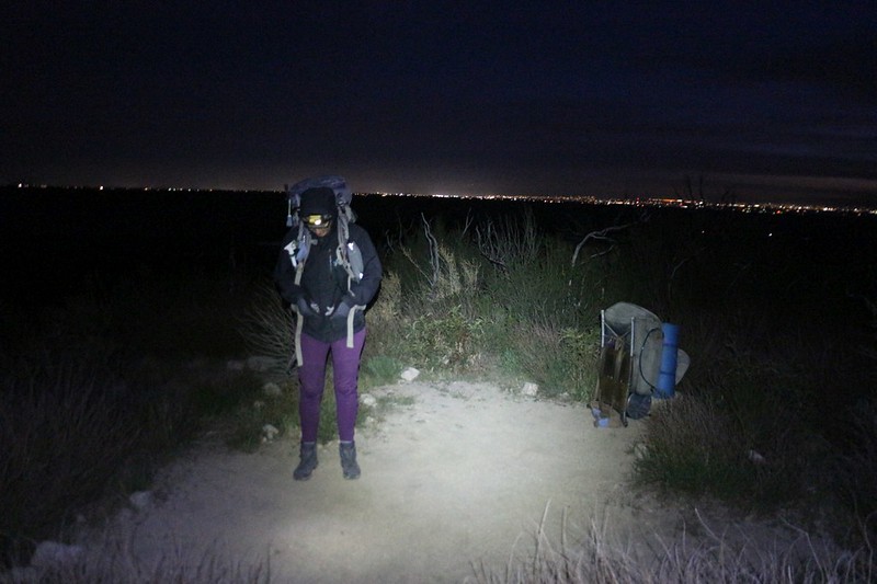
We woke up super-early and started hiking in the dark because we knew it was going to be a long, hot day
Dawn panorama view northeast from the PCT with the Mojave River Forks on the left
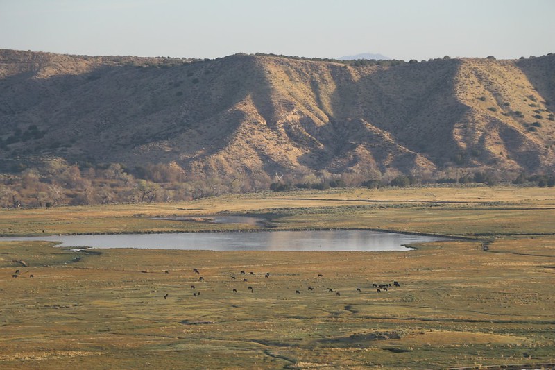
Zoomed-in view of cows grazing near a pond out in the Mojave River Forks
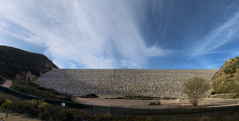
The Silverwood Lake Dam
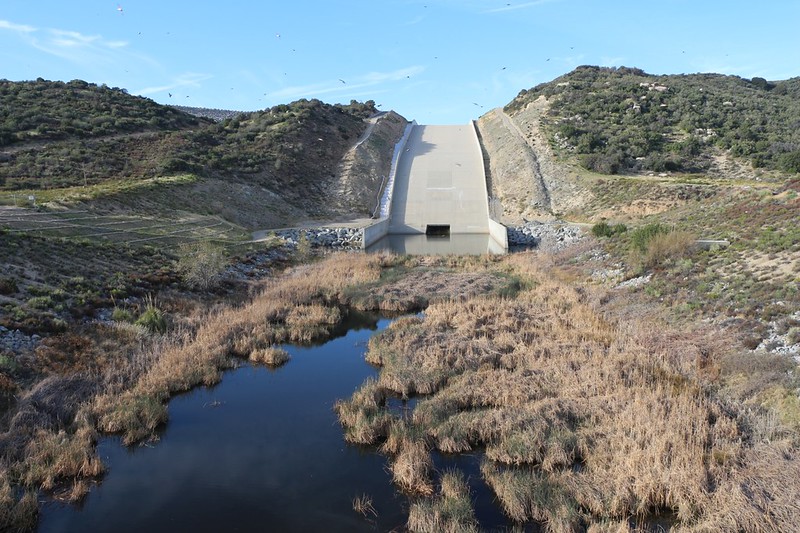
The Silverwood Lake Spillway from the bridge on Highway 173
We made it over the hill to Silverwood Lake - now all we have to do is hike halfway around it!
We left the PCT and took a dirt road that was a shortcut to the Silverwood Lake Campground
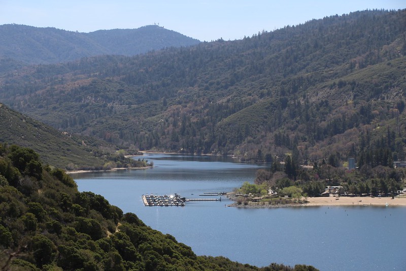
We came over the hilltop and were able to see the Silverwood Lake Marina down below us
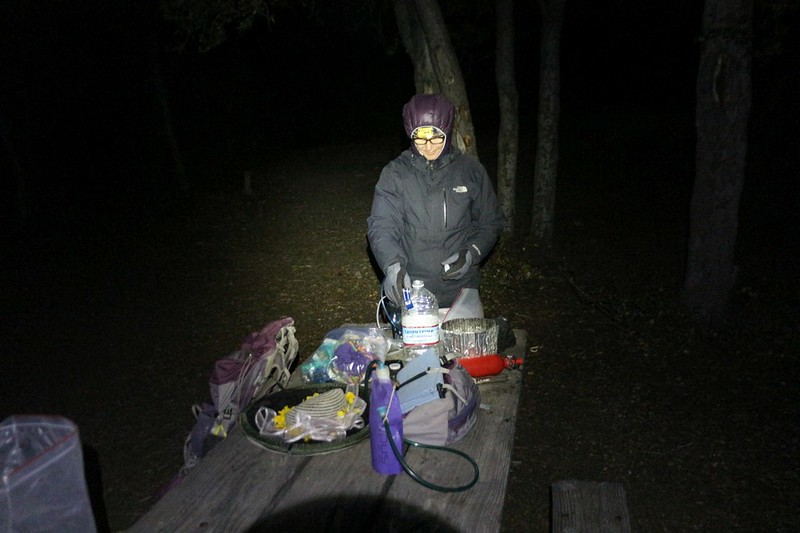
It was nice to have a picnic table at an actual campsite at Silverwood Lake State Park. That's a $45 picnic table!
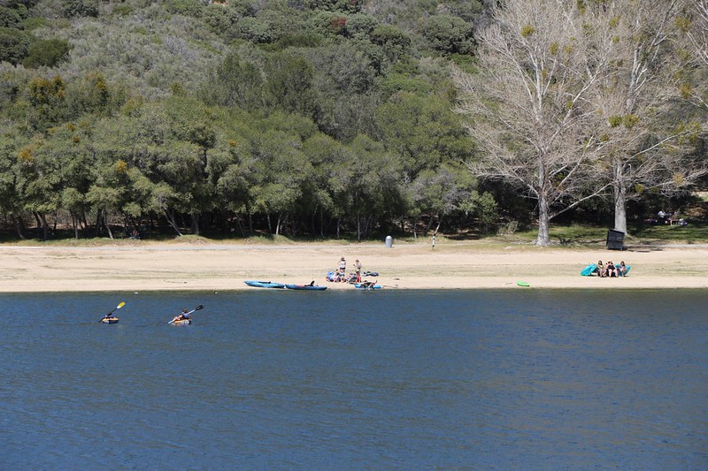
Later that afternoon, we went on a short walk to check out the lake, and saw people kayaking
We also spent some quarters we got from the rangers and took a shower at the campground. It felt nice on a hot day, and it was different from our usual trips where we simply stink to high heaven. The benefits of civilization. We also lucked out and there weren't any drunken yahoos near us (NOT a benefit of civilization) so we got to sleep at a decent hour.
Day 3
On this day we had about 7 miles to hike. Once again, reliable water was a concern. The only stream that was still running this year was about 3.5 miles away, and the only decent campsite (midway between the lake and I-15) was 3.5 miles beyond that. Yes, I carried that extra 16 pounds all that way.
As usual, we woke up early at the campground and headed out hiking by dawn
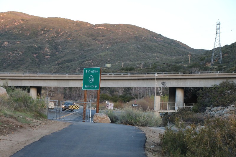
We arrived at Highway 138 where the PCT crosses under the bridge, alongside the West Fork Mojave River
We saw a potential shortcut on the map - an old road that chopped a mile off our day - but it was very steep!
The first part of the road was paved, in order to service a large water tank on the hill, and after that the old road was basically gone. The chaparral had taken over since the last fire. Luckily for us, some kind soul(s) had re-opened the road and cut back the ceanothus and buckthorn plants. Otherwise, we would have had to hike back down. And it was a fun trail. Sometimes taking a chance pays off.
Panorama view from the shortcut road looking south toward the water tank, with Silverwood Lake on the far left
We came to an old metal road gate and discovered an ancient faded PCT sticker on the post - this used to be the PCT! It's like we weren't really cheating anymore. ha ha
Where the PCT crosses Cleghorn Ridge - the high point of our day's hike
Panorama view over Horsethief Canyon
Our tent, all set up for shade and breeze as we lazied away a hot afternoon in camp
It was still early in the afternoon, so there wasn't much shade, but we found a spot that was comfy, and that would have shade later in the afternoon. Once again, we laid around reading our books, hoping for cool breezes. It's a tough life, but somebody has to do it.
Day 4
This was our final day, and the track profile showed a bunch of climbing, followed by a long descent. Seven miles total, and then we'd be back at the other car. Vicki insisted that we get the climbing over with while it was still cool, so, once again, we woke up in the dark, and even got started hiking in the dark.
It was 6am, and we were already hiking up and out of Horsethief Canyon
Looking east along the ridge above Horsethief Canyon in the early morning light
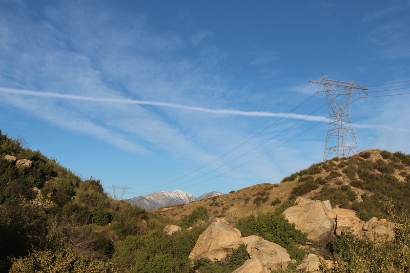
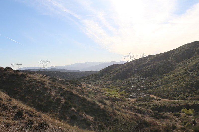
High clouds and power lines in upper Horsethief Canyon with Mount Baldy in the distance to the west
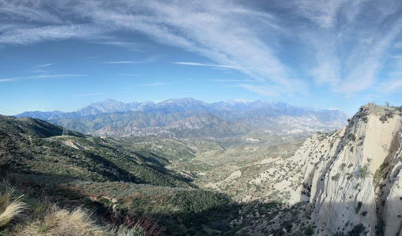
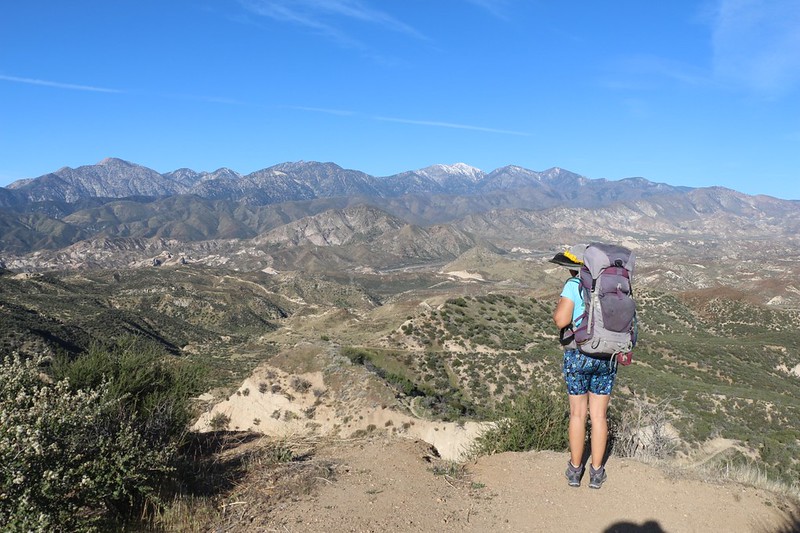
Panorama view west toward Baldy and the San Gabriel Mountains from the top of Horsethief Canyon
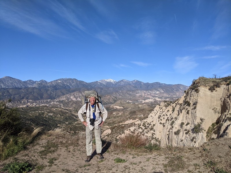
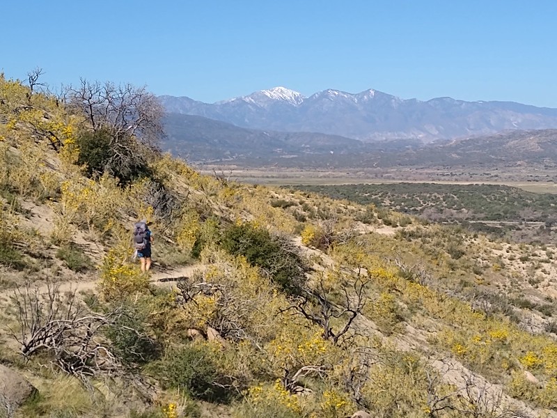
This view made the entire hike worth it - me and Mount San Antonio
Looking east one more time at Horsethief Canyon and the Mojave River Forks - we started way back there four days earlier
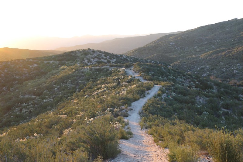
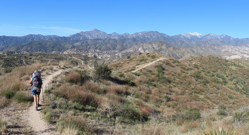
The PCT goes down and down and down along the ridgeline as it makes its way toward Interstate 15
The trail eventually heads down into Crowder Canyon, and the views were great the entire way. So was the breeze
Crowder Creek wasn't exactly a difficult crossing - but at least it had water!
The PCT in Crowder Canyon really hugs the wall of the canyon - we could tell that at one time there was a road there
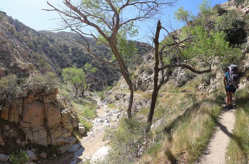
We really enjoyed hiking in Crowder Canyon
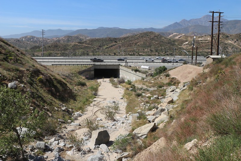
The underpass on I-15 where the PCT goes beneath the freeway along Crowder Creek - but our day's hike was done
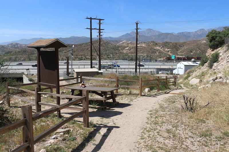
This is the fabled Picnic Table where the Pacific Crest Trail meets Interstate 15 - the local McDonalds is just up the road
All in all, it was a pretty decent hike. It was our first backpacking trip of the 2021 season, so we decided to begin with something easy, to make sure our gear was in proper order. It also had to be at low elevation, to avoid snow. Easy to do in 2021. The weather turned out to be hotter than we wanted, but we made do. All in all, it wasn't the most exciting section of the PCT I've ever done, but it's in the bag now.
It was the final three miles that were the prettiest. If anyone on the forum is looking for a good dayhike, I'd say to park your car near the end of the dead end road south of the McDonalds at I-15 and Highway 138, then hike eastward up Crowder Canyon, and continue uphill to the summit where you get those great views of the San Gabes. It's about three miles and 900 feet of climbing. Then head back down and eat lunch at Mickey D's. You'll get to see and hear some freight trains, too, which is always a plus.
GPS tracks on my Caltopo Page
More photos and videos on my Flickr Page