

Flat summit area on Grinnell
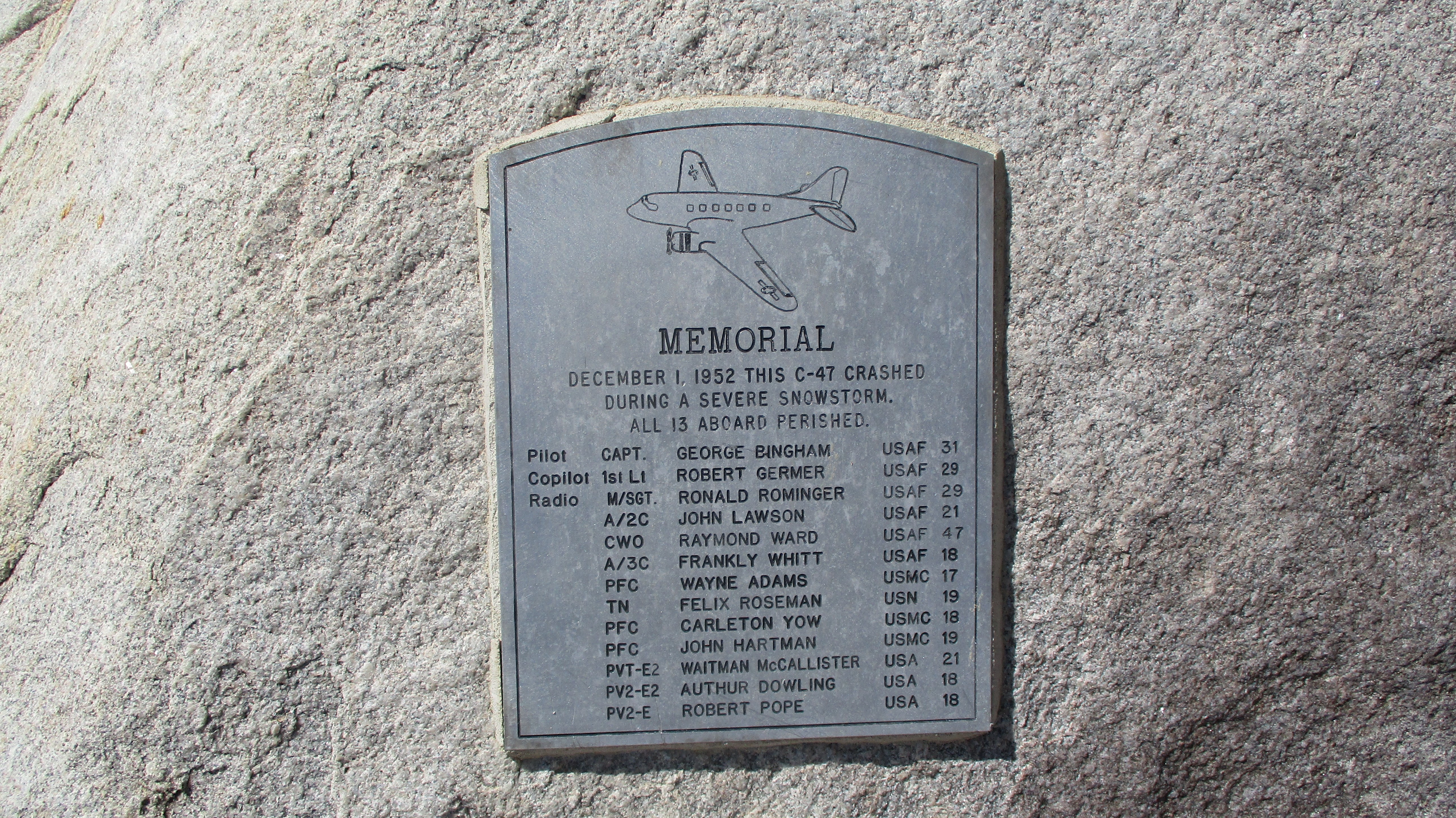
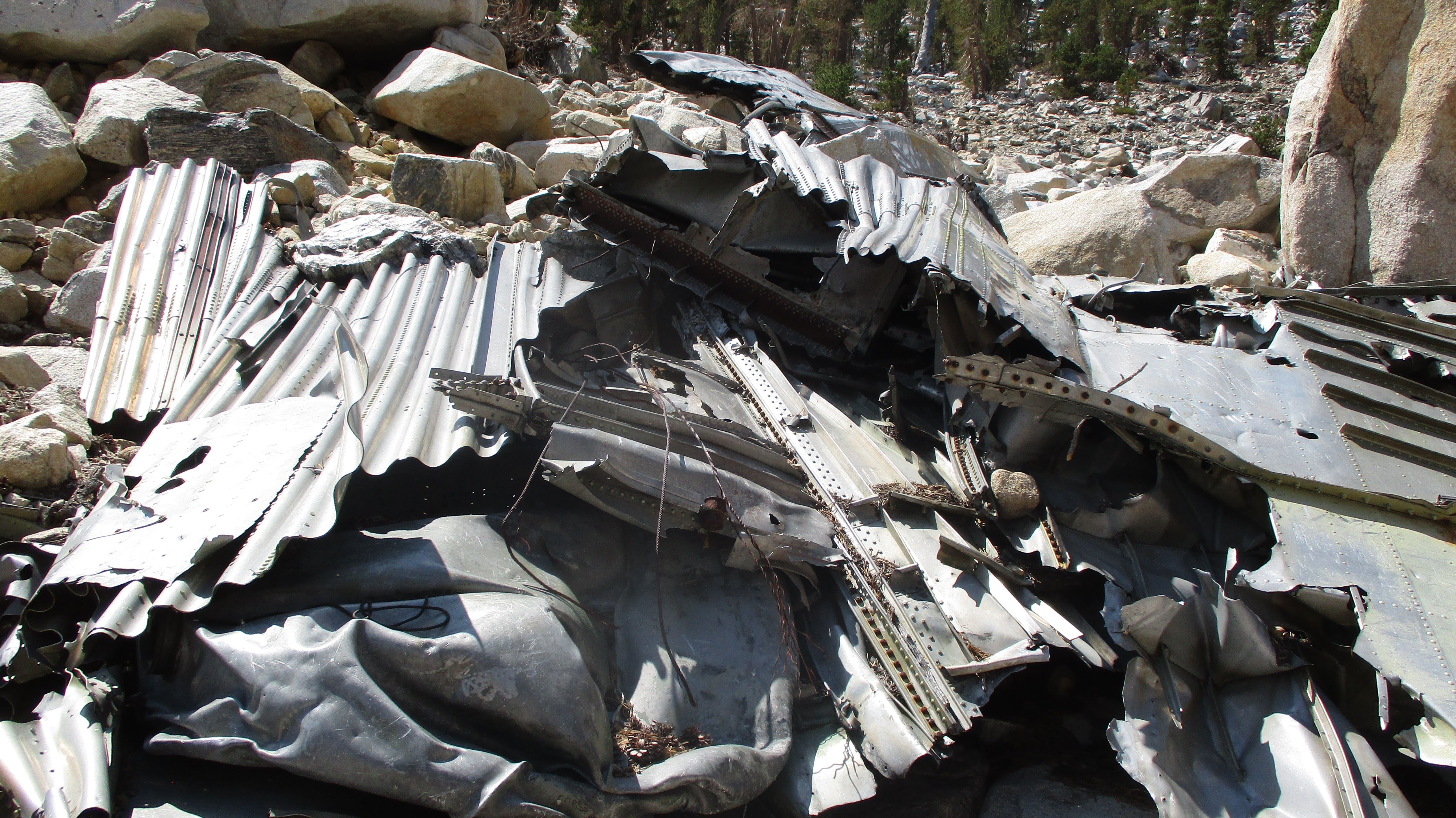
At Mine Shaft Saddle, I began the long climb up tight switchbacks on the northeast flank of San Gorgonio. Not far up the switchbacks, I found the C-47 crash memorial. Debris sat just off the trail and more was scattered in the gully below.
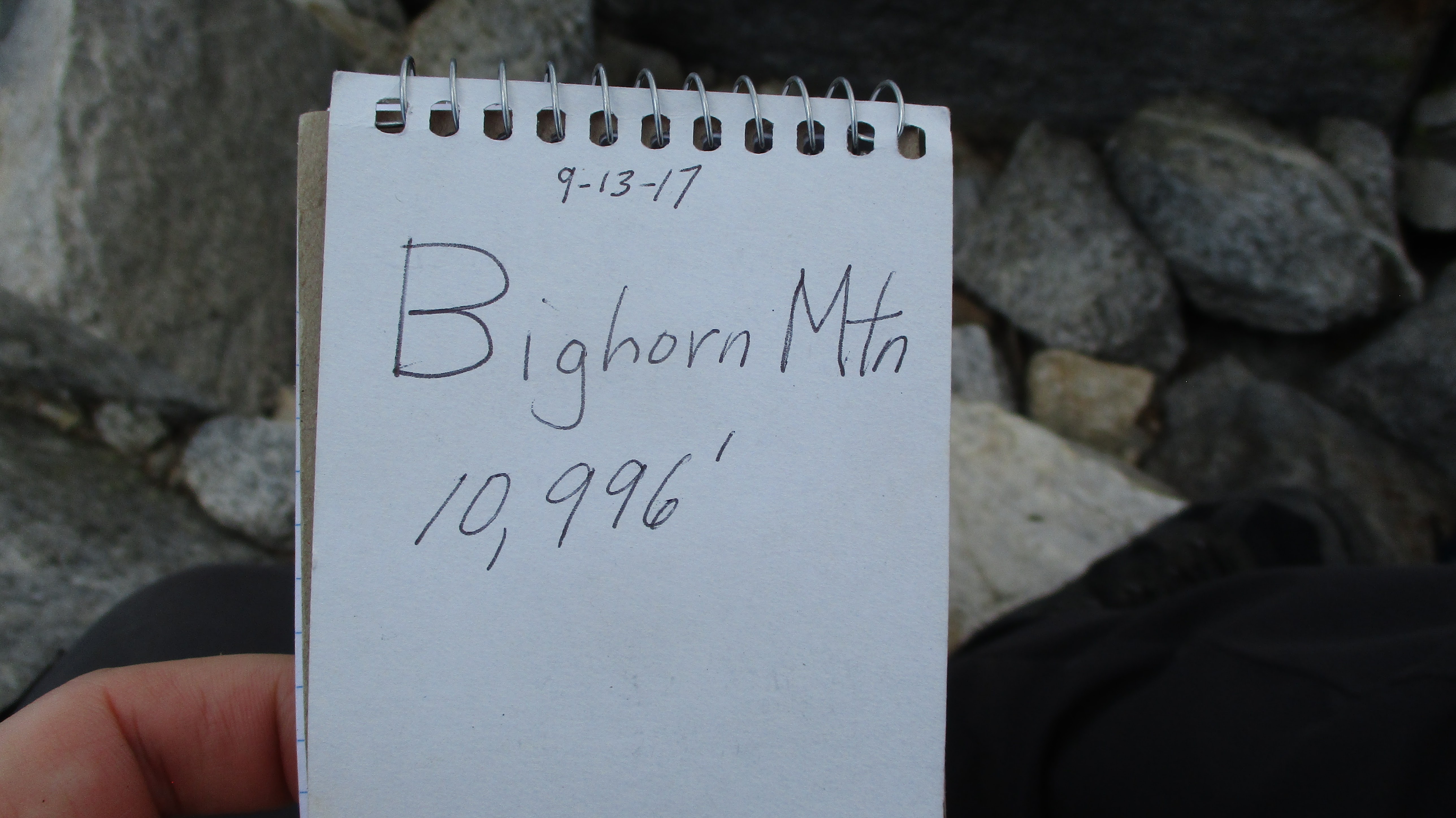
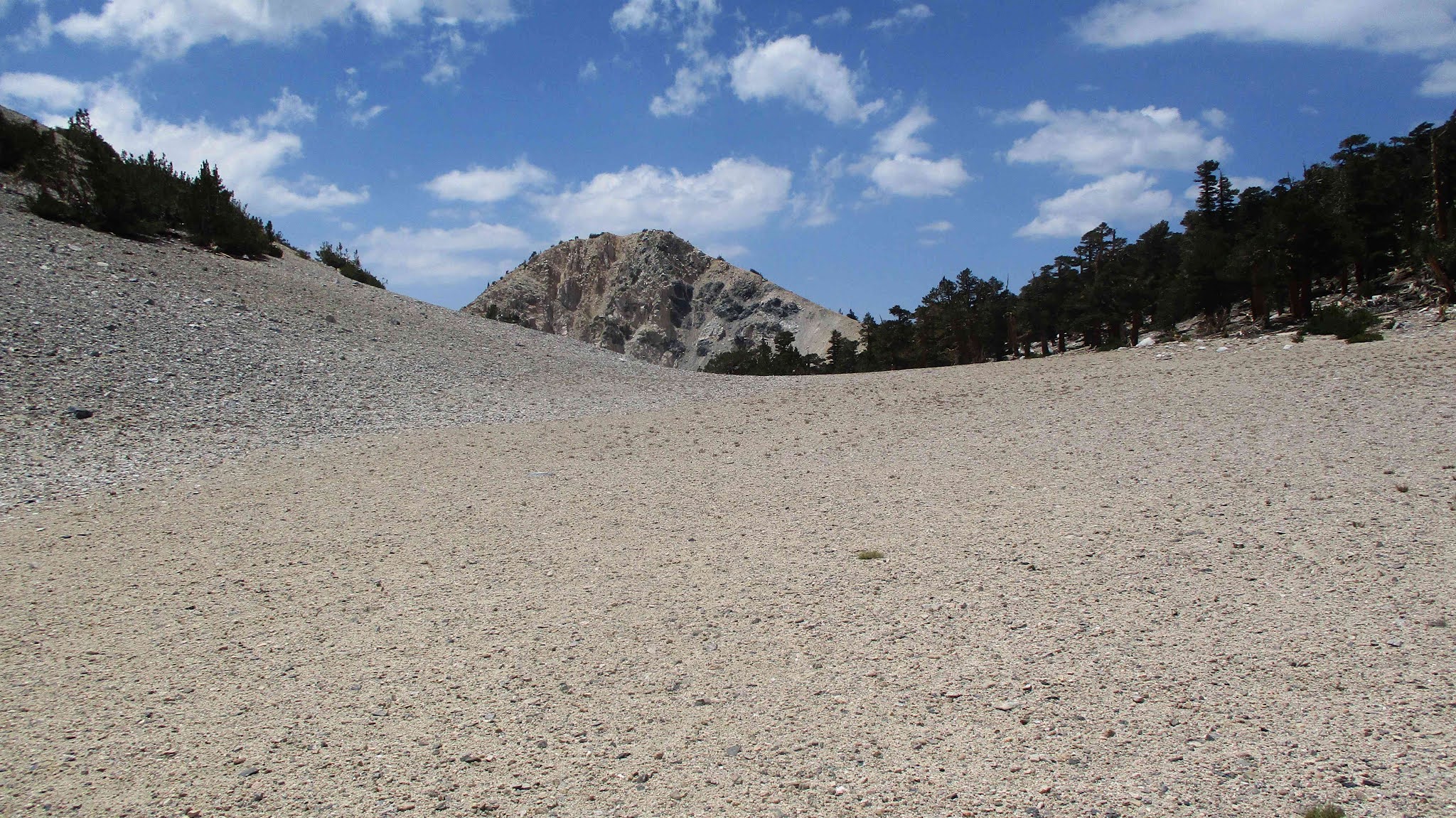
I had to climb to over 11000' on the Sky High Trail before reaching a drop point to the tarn. Across from the Bighorn high point, I left the trail down a steep slope and waded through knee high ground cover. Then headed directly for the summit up the 45-50 degree talus, a mistake that became obvious immediately. After sliding back every step, I aimed for anything solid. A dead tree, a big rock, brush. Anything that allowed upward progress. I struggled to the bouldery summit and found a register in an ammo box. Many registers in the SB Mountains have been destroyed, but Bighorn was probably too much trouble for vandals to reach. The small book was placed in 2017 and was about 1/3 full. Awesome 360 views were the reward. The views were arguably better than from San G itself, since the bulk of San G blocks some of its own summit views.
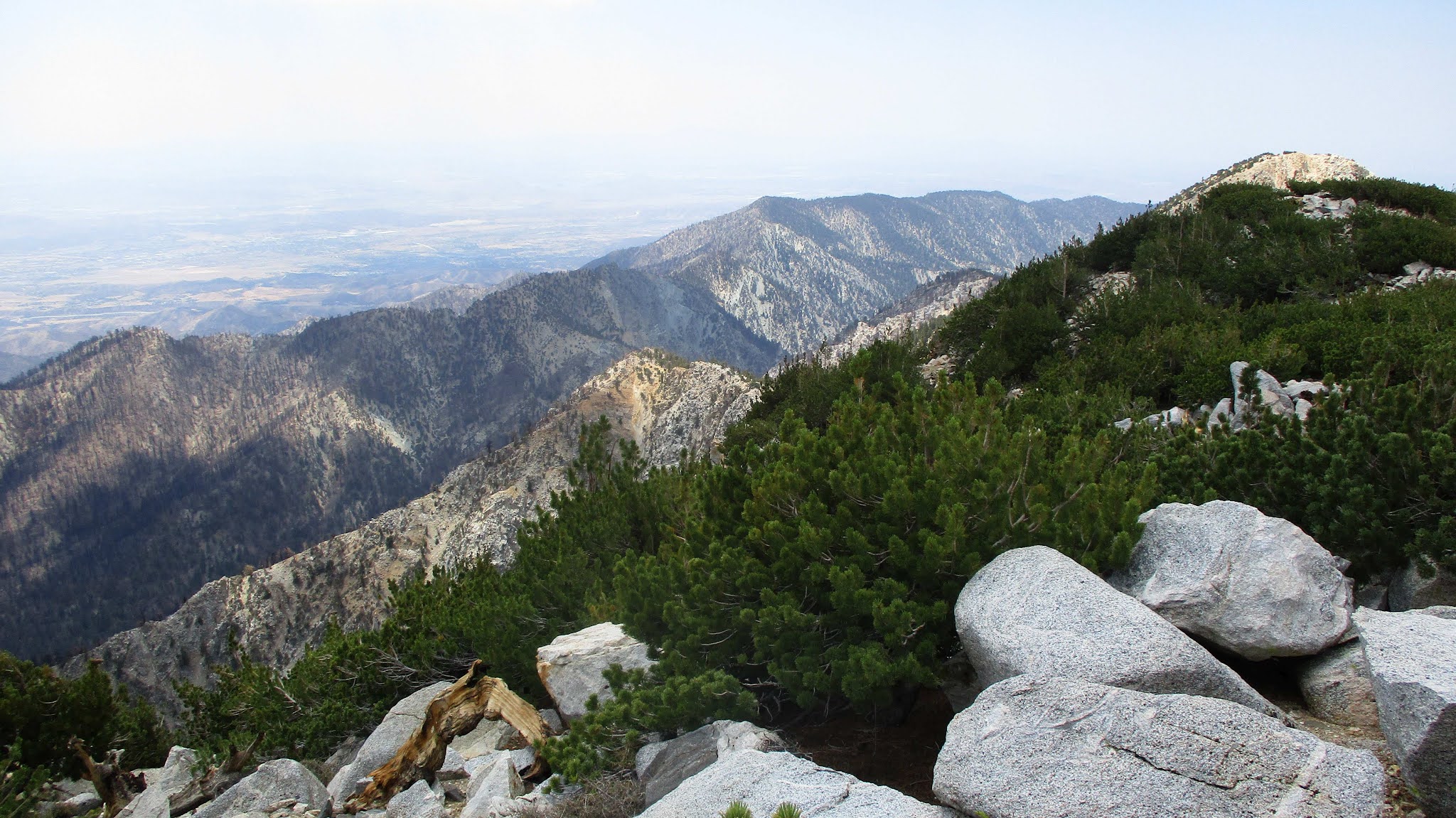
Looking over at San Gorgonio
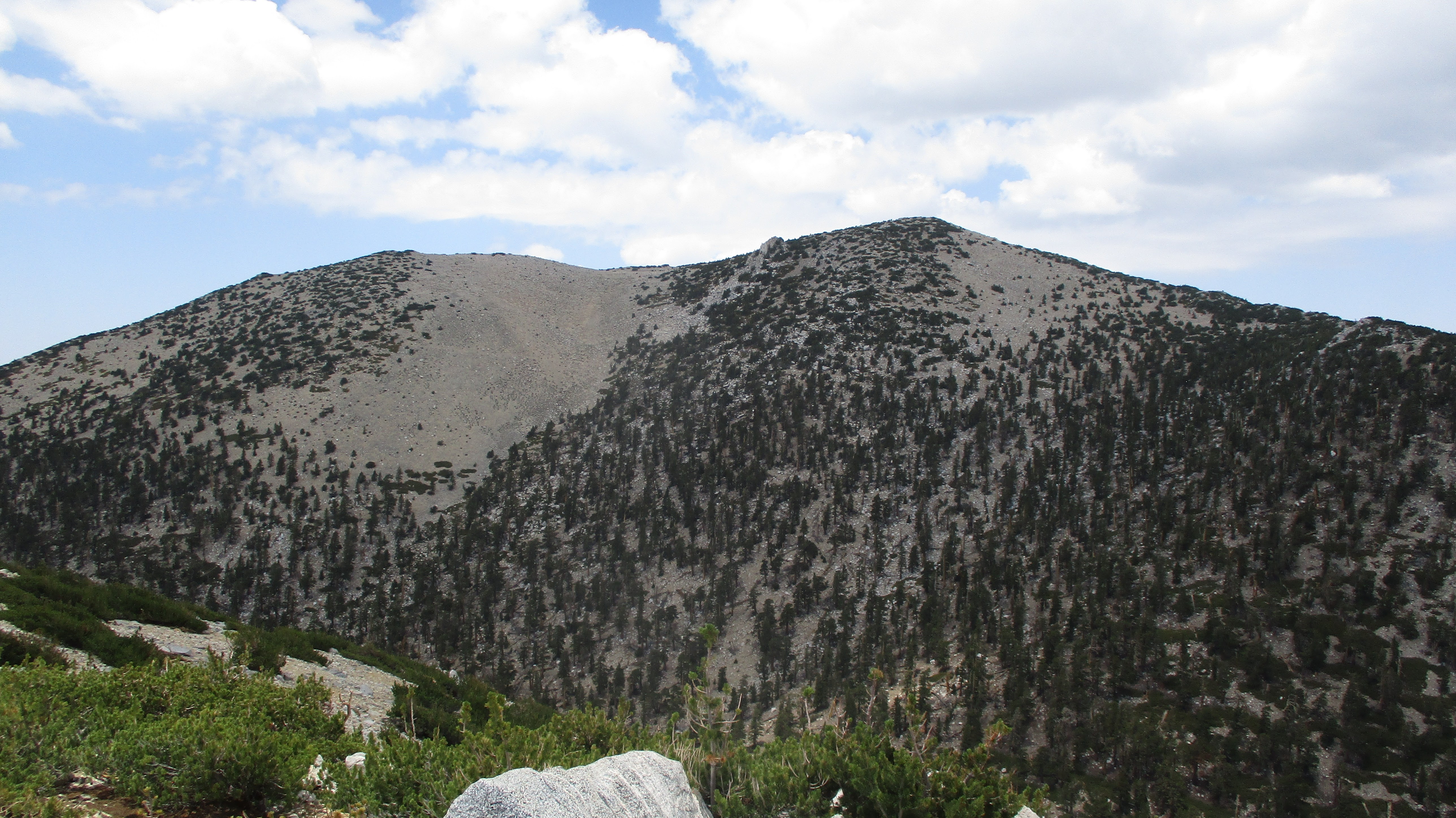
Ten Thousand Foot Ridge
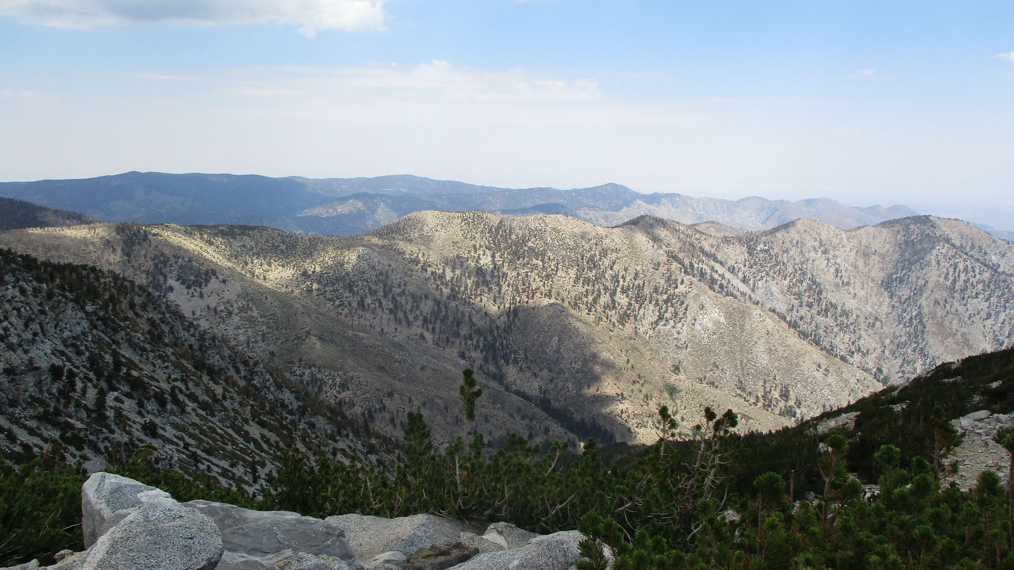
Yucaipa Ridge
Dragons Head from the tarn
When I left the summit, I followed a use trail to the lower end of the ridge. This was the way. I also found a brush free ascent line back to the trail. I strongly recommend my exit lines and not my approach. No need to make Bighorn harder than it is. On the way down, Zahniser looked like a small knob. It's only a 120' gain from the saddle. I went over the top where I found a smashed and empty ammo box. Vandals. Never saw another person all day. 20 miles, 4800' gain.
