There were four distinct sections of this hike:
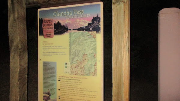
Olancha Pass
Summit Meadow
PCT
Olancha West Face
Olancha Pass
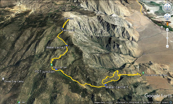
When I stepped out of truck, a mosquito bit me. Olancha is notorious for mosquitos, but 30 minutes up the trail, I didn't see another one until I got back. Not far from the start, the regular trail winds up the canyon walls on the right (north) while the cow driveway continues straight up the gully. Like the name sounds, the cow driveway follows the stream up the gully and is used to drive cattle up to Summit Meadow. I had read mixed things about the driveway, but decided to take it up. The cow driveway was not clear in the lower half of the gully. The upper cow driveway was very steep, hard packed mud. It's not great to hike on, but better than ascending soft sand. It would not be fun going down that way. At the top of the pass, I cached a couple bottles of water for the return trip.
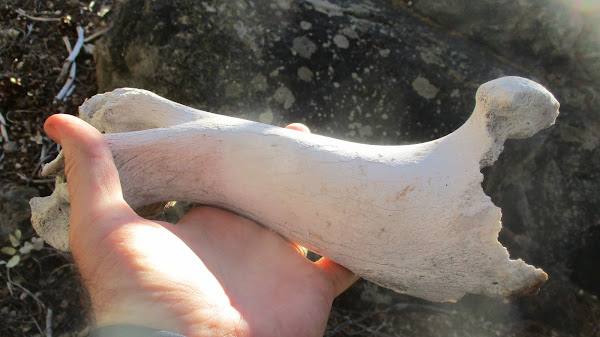
Cow bone!
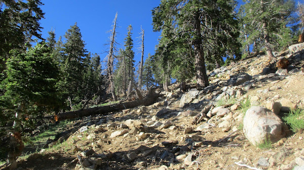
Upper cow driveway
Round Mountain from the pass
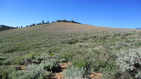
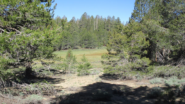
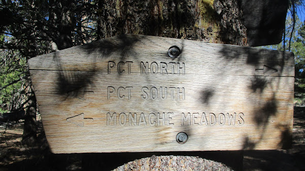
Summit Meadow
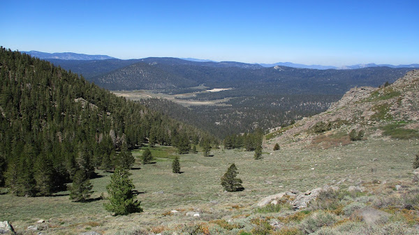
This section was relatively flat, crossing open slopes, then dropping slightly down to the wide, grassy Summit Meadow area. There was a cattle pen and a cowboy camp. Summit Meadow itself was like a miles long golf fairway, devoid of trees. The trail skirts the meadow. I kept expecting to see animals in the meadow, but didn't. The Bear Trap Meadow trail connects from the north and is considered a short cut to the upper PCT. I considered taking it back, depending on my water situation and how I felt. I stuck to the Olancha Pass trail to the PCT. Up to this point, I had seen nobody.
PCT
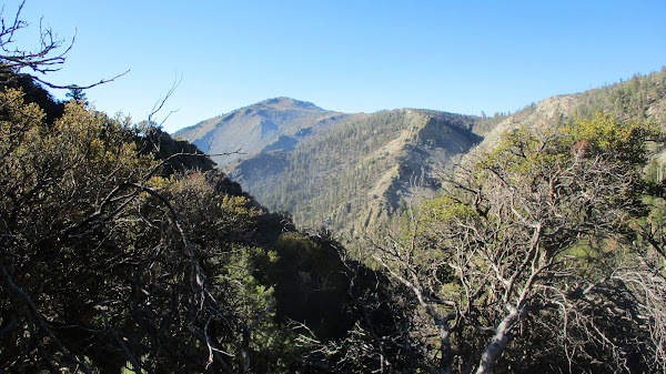
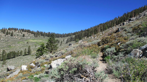
I turned north when I hit the PCT. This is a pretty section of trail through scattered pines and boulder piles. I had read in another trip report that there was a stream with possible water at 9700'. At the stream, there were two through hikers getting water. We had a brief chat. They were two of a dozen through hikers I met who recently came from Kennedy Meadows. The stream had a slow but steady flow. I was going to filter some water, but felt I had packed in all I would need. I'm glad I didn't need it because the slow flow turned into a trickle when I crossed the stream on the way down. Better views opened up as the trail skirted the western shoulder of Olancha. Just above 10000', I dropped a second water cache. After 9 miles of hiking, I finally got a view of the summit. I had seen the photos, but it was an intimidating sight in person. I still had another mile before reaching the best spot to leave the trail. Much work ahead.
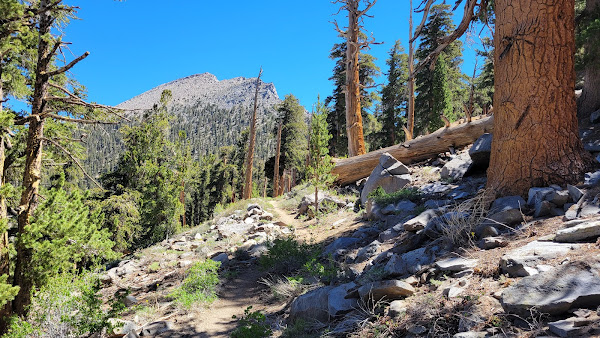
Olancha comes into view
Olancha West Face
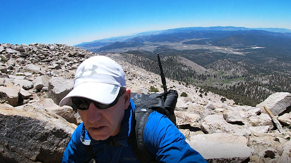
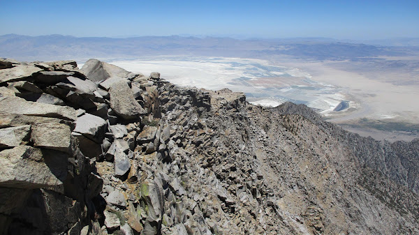
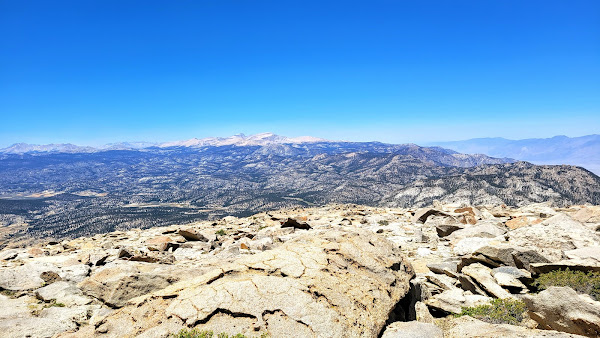
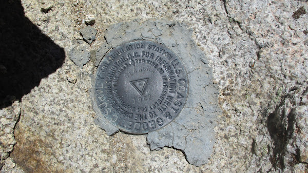
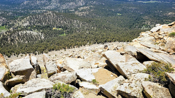
At the high point of the PCT, I left the trail and started up. The slope was still in the tree line and not as vertical as I expected. Steep class 1. I generally aimed Northeast, weaving around trees and ground cover. I spotted cairns in various places, but there was no defined use trail and the cairns were mostly useless. Once I emerged from the tree line, all that remained was boulders, easy class 2. The route can remain class 2 if you stay far enough north. I wandered a little too far south at the very end and needed some unexposed class 3 to top out. Several small radio towers were on the summit. I found the benchmark and a couple of reference marks. An ammo box held a couple of registers. Olancha sees plenty of visitors. Views exceeded all expectations. It was thankfully clear enough to see Langley and Whitney. Owens Valley and the Panamint range were east, the interior of the Sierra was west, and south was the lower crest as it melted into the high desert.
I found the class 2 route off the summit and got down quickly. Off the summit, I only had 10 miles back to the truck. Instead of the cow driveway, I took the trail down. Having been on both, I'd recommend sticking to the well maintained trail both ways. it does add a little distance, but was much more pleasant and had better views. I was starving as I drove an hour to Ridgecrest, where I planned to spend the night. I was so tired I started seeing things on the side of the road. I slept soundly, probably could have slept soundly on a pile of gravel.
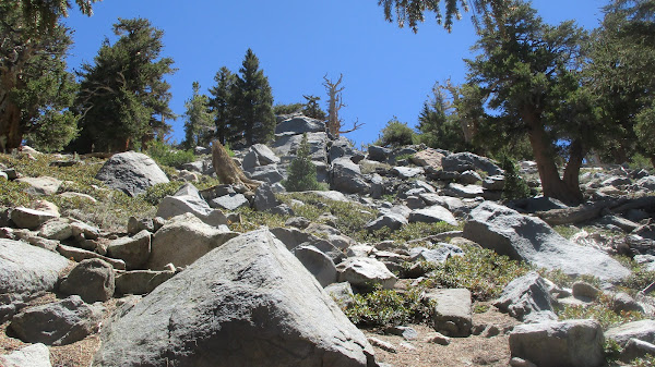
Lower slope
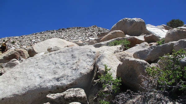
Upper slope
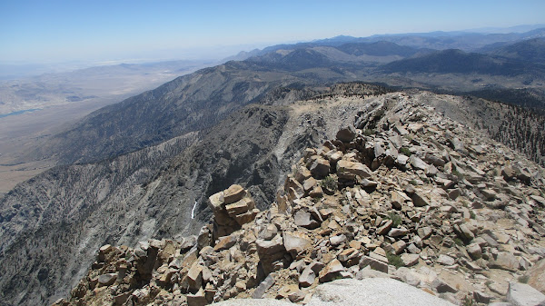
South
NE ridge
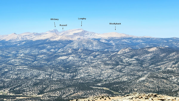
Whitney area zoomed
Descent
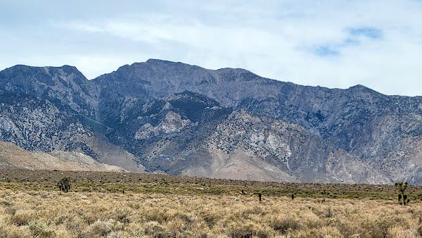
Olancha from the 395 (taken next day)