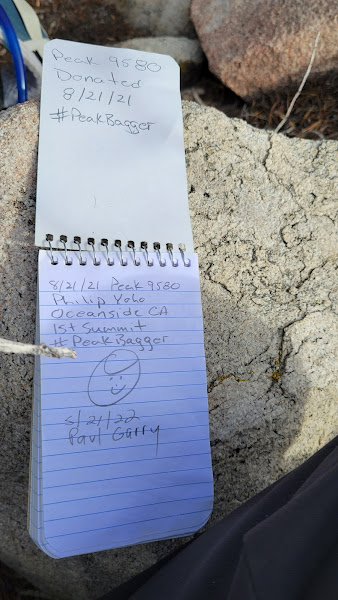
- Peak 9580
- Hell for Sure Peak (9920')
- Tea Bag Can Peak (9884')
- Peak 9971
- Peak 10055
- Carmen Peak (10075')
- Ten Thousand Foot Ridge (10094')
- Fish Creek Peak (9942')
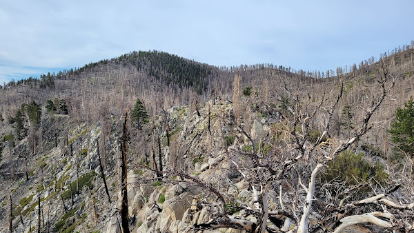
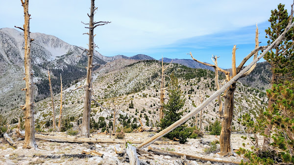
The ridge to Hell For Sure
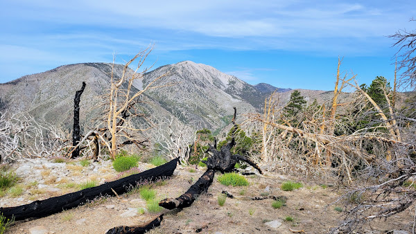
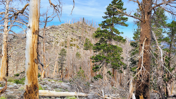
Next along the ridge was Tea Bag Can Peak. After a 400' drop to the saddle and a 400' climb, I landed at the summit. The register was easy to find. Views at each peak along the ridge were mostly the same with a slight change of angle on the surrounding sights. The next drop was 500' to a saddle with a 600' climb to Peak 9971. This was the highest inter-peak gain. The register was in a metal can with the words Boston Tea Party on it, making me wonder if it didn't below on the prior summit. Obstacles along the way were mostly downed and burned trees with minor brush to walk around. I took a longer break on 9971 and got a better look back at Hell For Sure.
Tea Bag Can Peak
Looking back at Hell For Sure
The next three peaks were all over 10K, starting with Peak 10055. This peak had the most obstacles, and I scrambled up some class 2 boulders that could have been avoided by going around. The summit was farther than I thought, and I had to search for the register, finding it below a downed tree near the top. I think some people missed this register because it had fewer entries than the others. Carmen Peak was only a quarter mile away with a short drop to the saddle. The register was in an ammo box with the wrong elevation painted on it (10,900 instead of 10075). Many people mentioned this in their comments. After that was a very short walk over to Ten Thousand Foot Ridge Peak. In fact, the distance and elevation change from Carmen was so minimal, I question it being a separate peak. 10K Peak had a large ammo box with a single register book. This was my second summit of 10K Peak. It still had the Eispiraten sticker I added in 2019
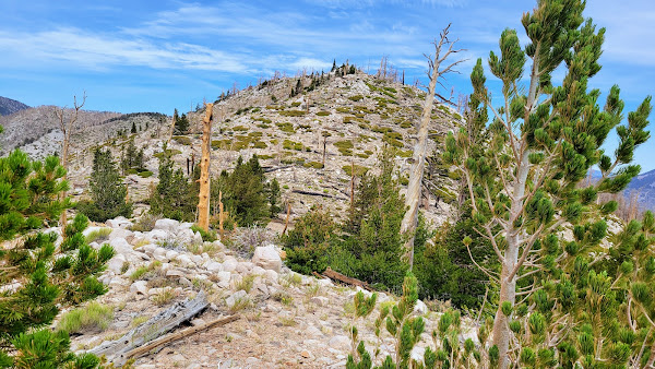
Peak 10055
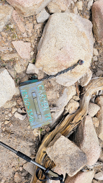
Carmen ammo box with wrong elevation
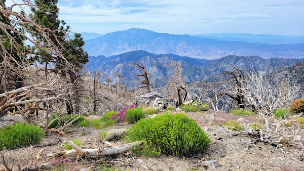
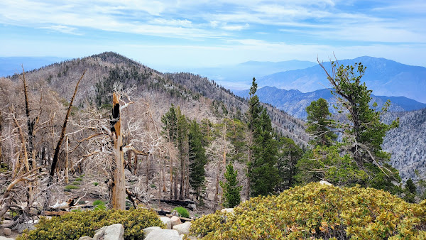
Lake Peak ahead, Fish Creek Peak on the right
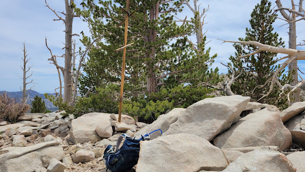
I dropped off 10K and followed a good use trail toward Fish Creek Peak, leaving the trail at the closest point for a walk up. There was a fallen wooden pole marker with support wires that I restored to glory. The register was just a baggie next to the high point. The last challenge was to get back to the trail. I started angling side hill toward Fish Creek Saddle. Boulders and trees were more of a problem in this area. I hit the Fish Creek trail just below the saddle. I did Lake Peak in 2019, so didn't visit it again. Got back to the truck without seeing another person. The loop could be done in either direction. 10.8 miles, 3500' gain. A great hike to pad your stats!
Fish Creek Peak
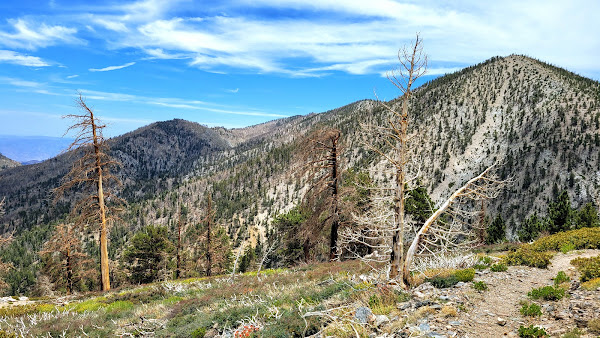
Ten Thousand Foot Ridge from the side of Grinnell