Modjeska's East Face

Archived TRs for ranges in California.
Post Reply
User avatar
tekewin
Posts: 1183
Joined: Thu Apr 11, 2013 5:07 pm

Post by tekewin »

Santiago Peak is the highest and Modjeska Peak the lowest of two peaks that together are usually called Saddleback in the Santa Anas. You can drive to the top of each of them and there are several trail options. I've climbed both several times from many routes. Satellite views showed a giant talus field on the east face of Modjeska and I aimed to explore it. I drove up Maple Springs Road to the large turnout area a little more than a mile below Modjeska. The paved portion of the road was in poor shape with large potholes and water flowing over the road in at least 5 places. The dirt portion of the road had been rutted and was not great the last time I drove it, but I was pleasantly surprised to find it had been graded. It was probably done after the rains and I didn't even need high clearance. After parking, I took the trail that runs up the northwest side, saving some time over the Main Divide Road. The trail dumped me below the final ridge, but I continued over the road and down the use trail that connects Modjeska with Santiago. That trail drops to 5000' at the saddle. I left the trail at the saddle through light brush, trees, and leaf litter to reach the talus field.

Image
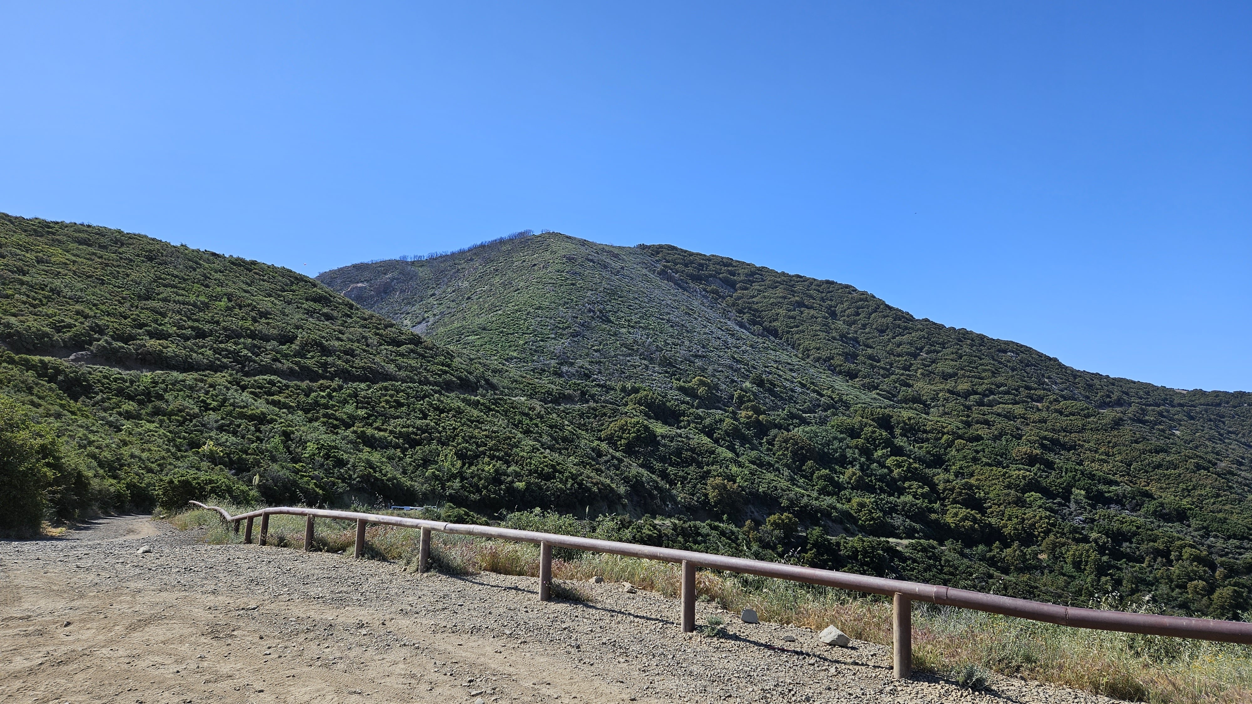
Modjeska from the parking area

Image

Image
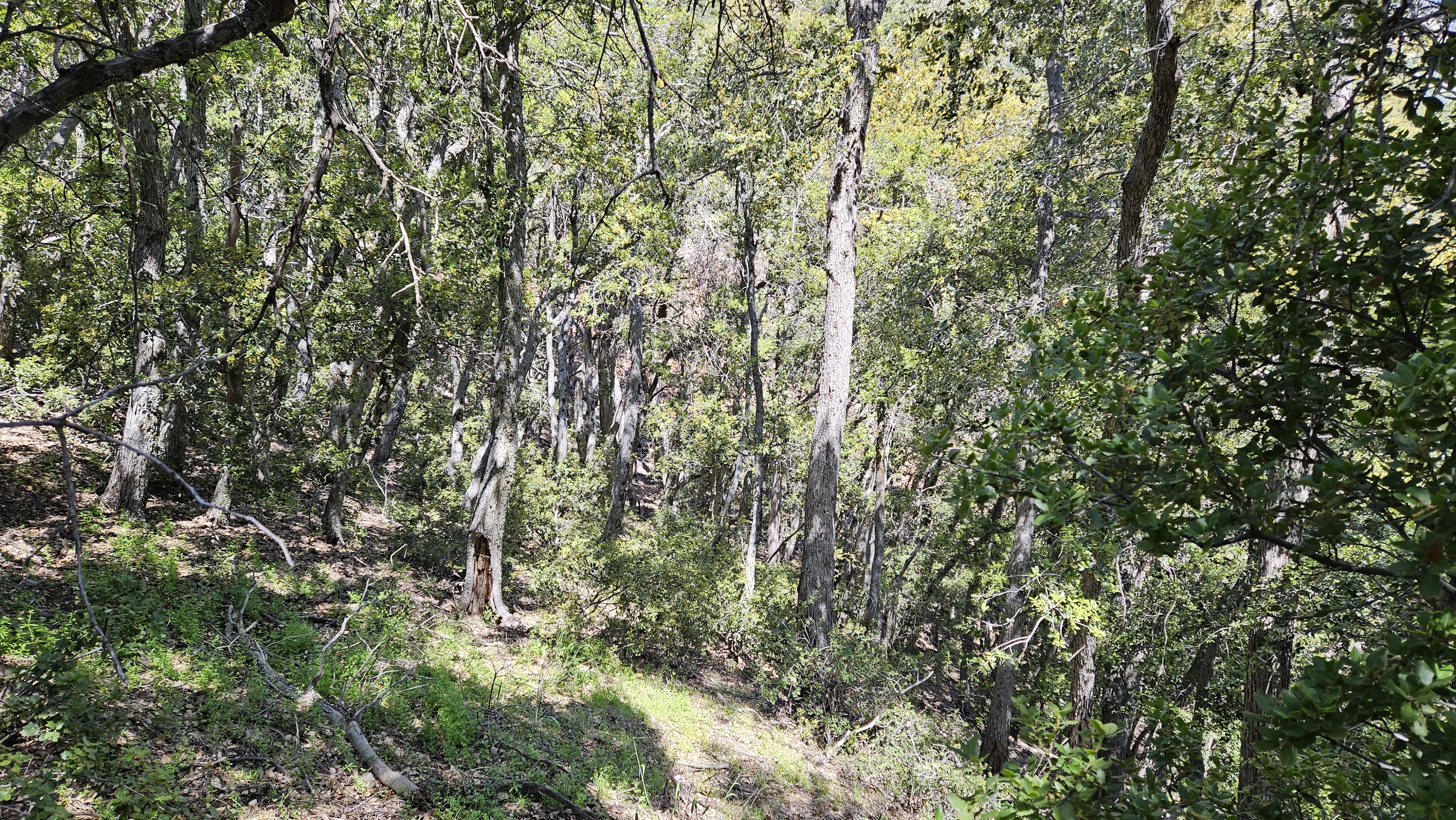
Into the forest from the saddle

Image
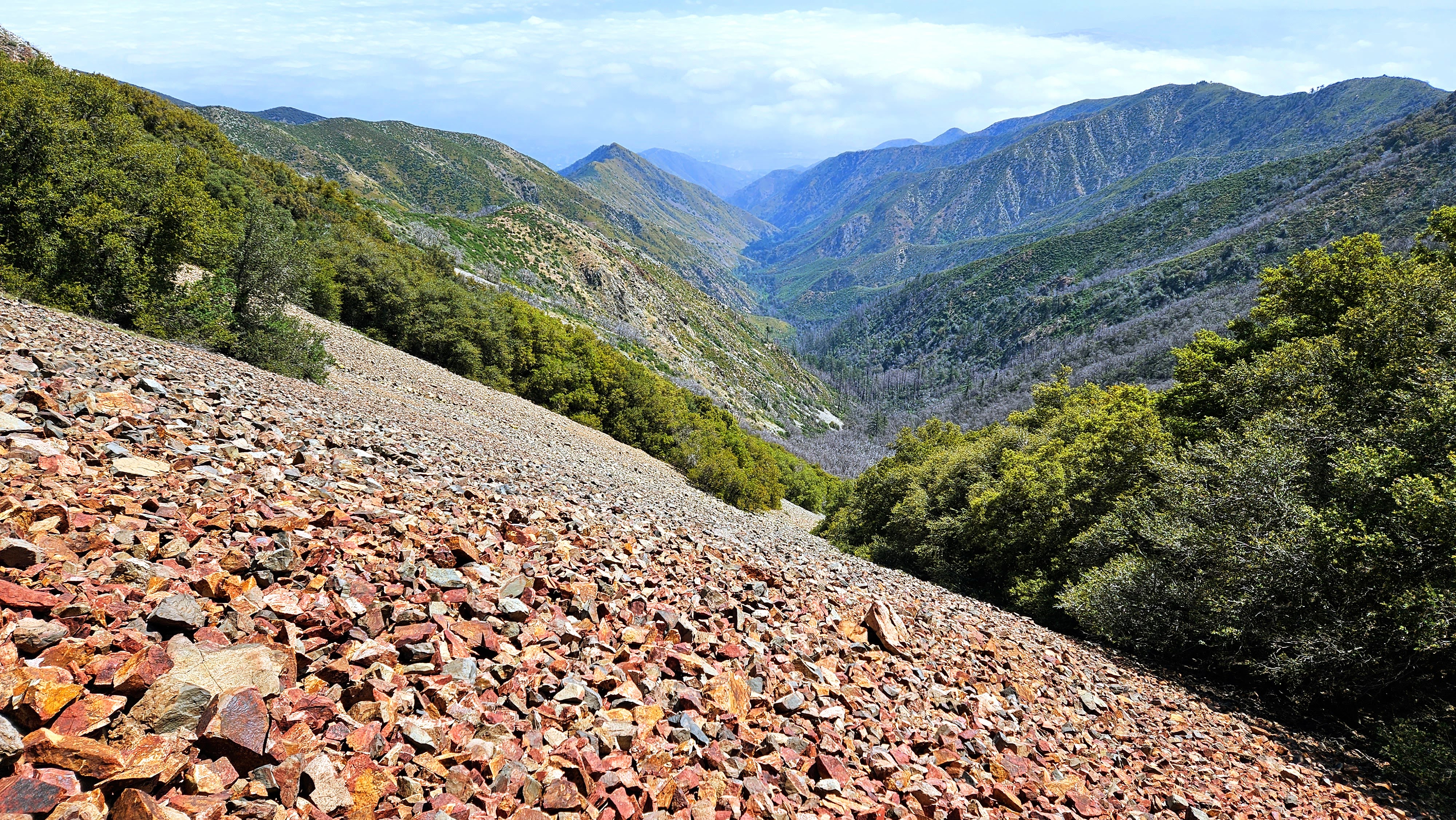
Reached the talus slope, looking down Coldwater Canyon

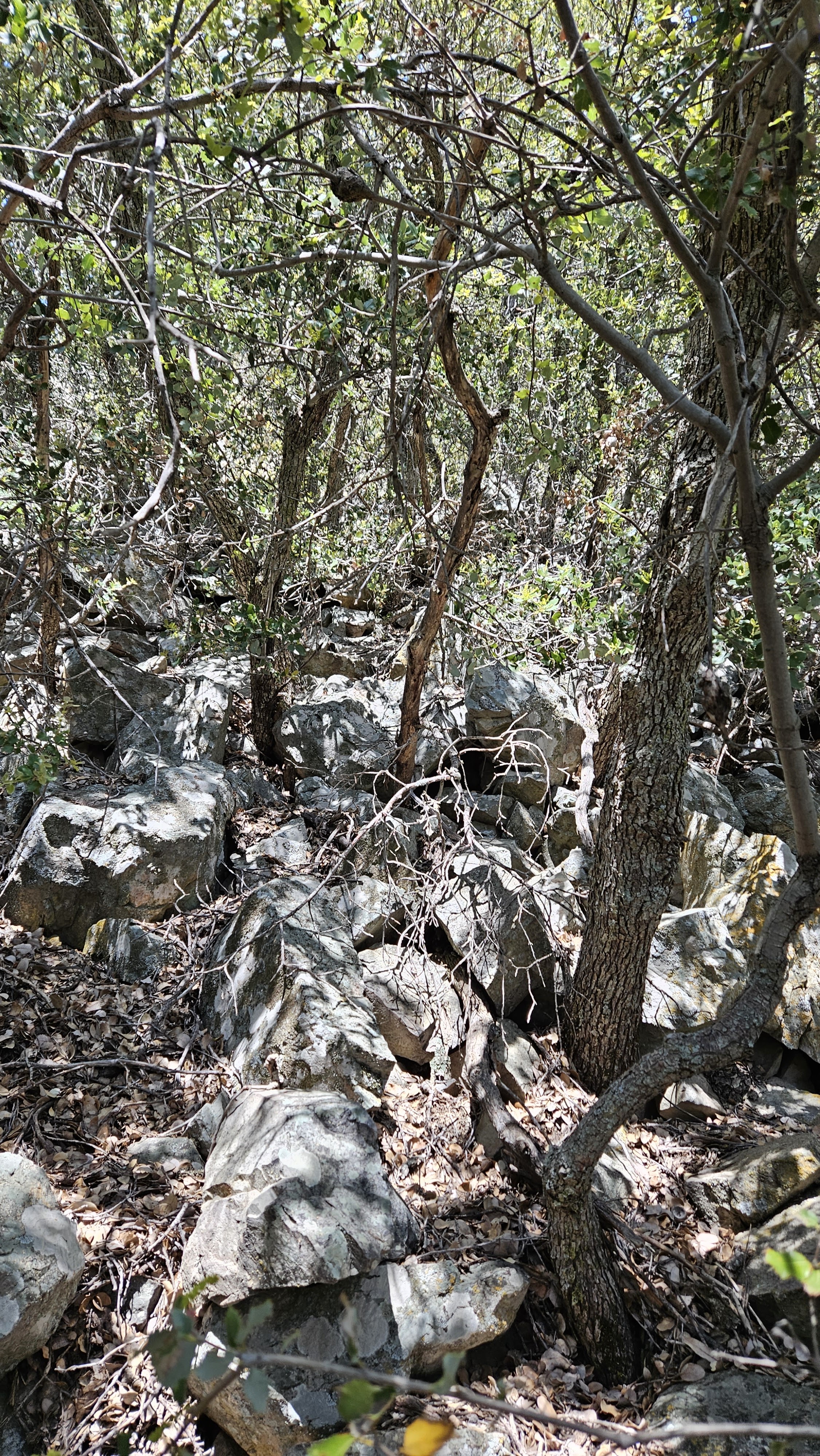
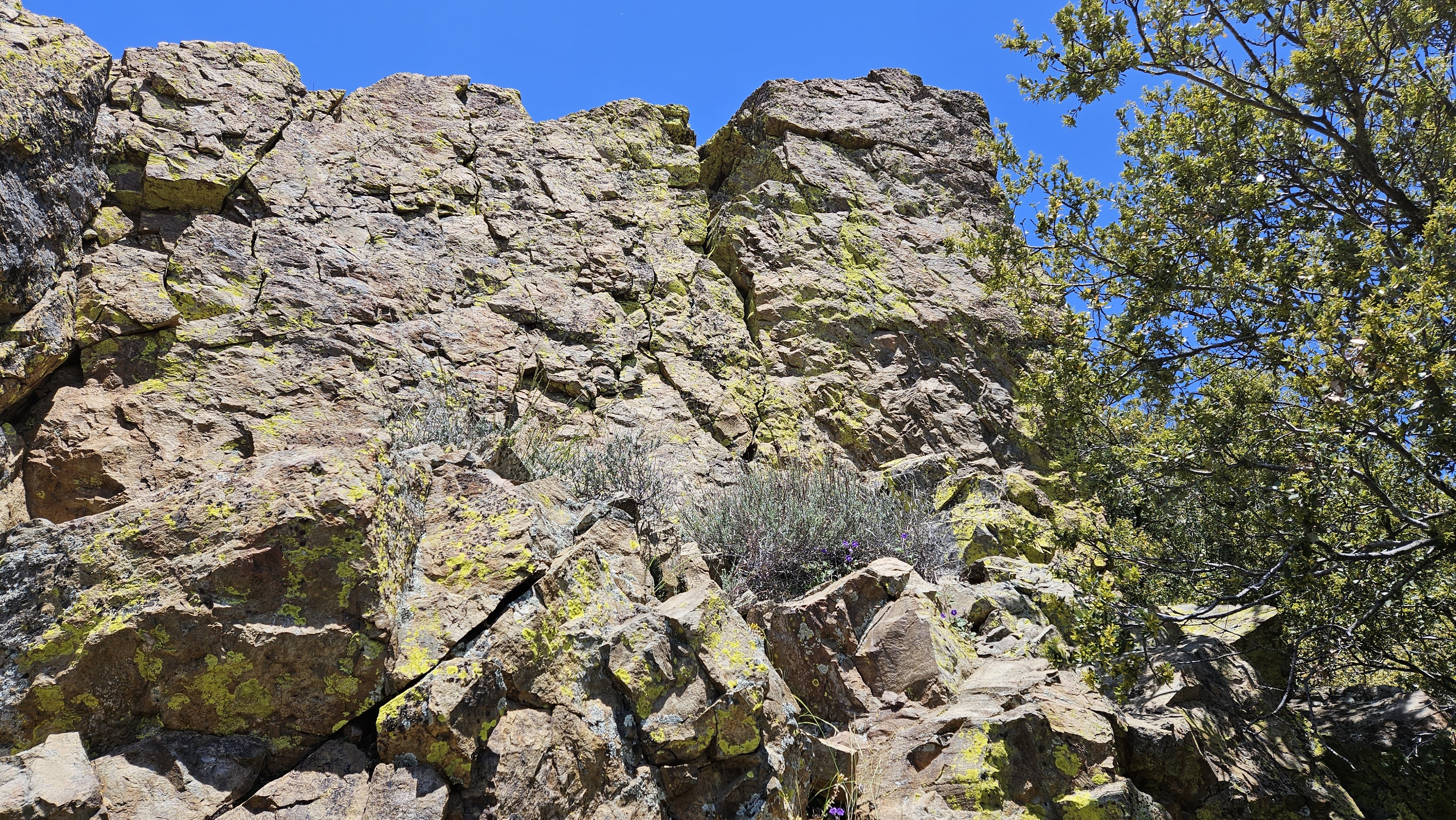
The talus was a mix of small red and gray rocks. Larger rocks would have been easier to navigate. I had mapped out a route that followed the talus sort of northeasterly, avoiding the forested sections on the east face. However, after I was on it, the talus was so loose, it became difficult to make upward progress. Instead, I decided to head for the forested sections where I could at least use trees and bushes to pull myself up. It was very steep and slow. I took some drone shots of me fumbling around on the talus, then tried to find the path of least resistance up. There were a few large rock outcrops, class 2/3, and those made travel easier and stable. About 100' below the summit, I stopped to rest below a boulder where a wall of trees seemed to block all progress. When I got my breath back, I took off my pack and hoisted it on the top the boulder. I broke off some of the branches of the trees on both sides and that allowed me to climb on top of the boulder. This was the crux and got me onto much easier terrain with a mostly clear shot to the summit. I had gained about 500' in a quarter mile. On the way down, I took the road and heard a rattlesnake to my left. I stopped and looked, but it wasn't until the 3rd rattle that I spotted a well hidden snake above me just off the road. I was never closer than 12' but I appreciated the warning.

Image

Image

Image
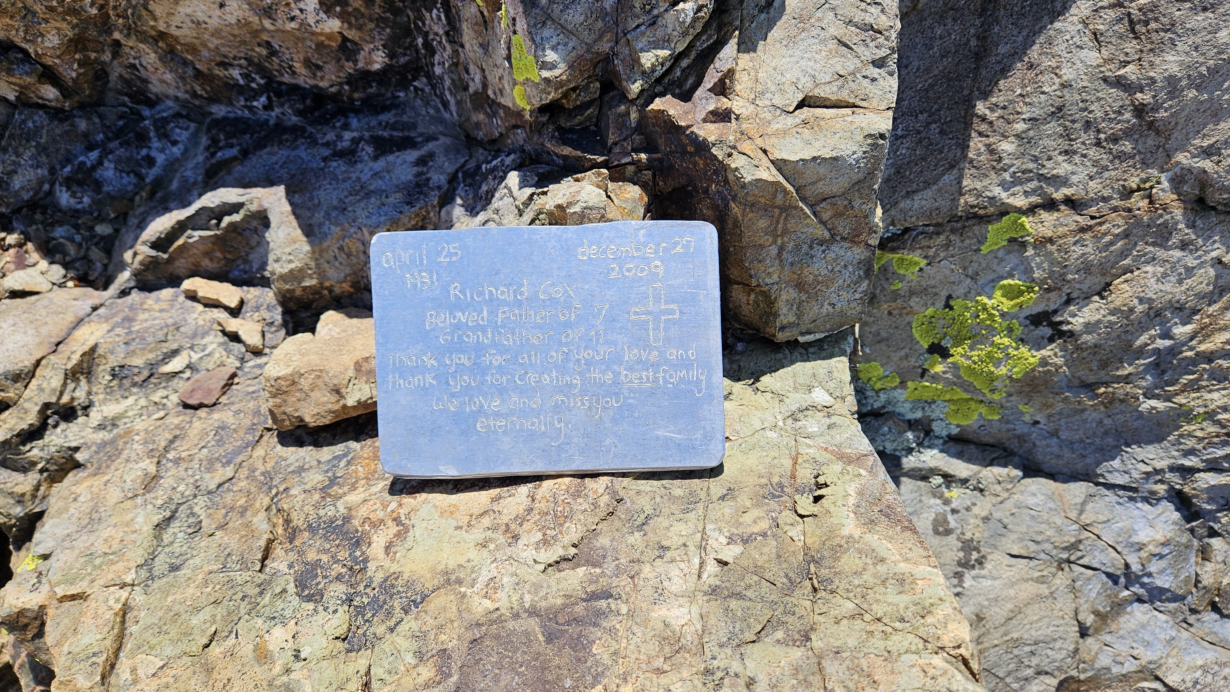
Memorial plaque for Richard Cox (2009-12-27). I found it in the grass and set it up on a boulder

Image
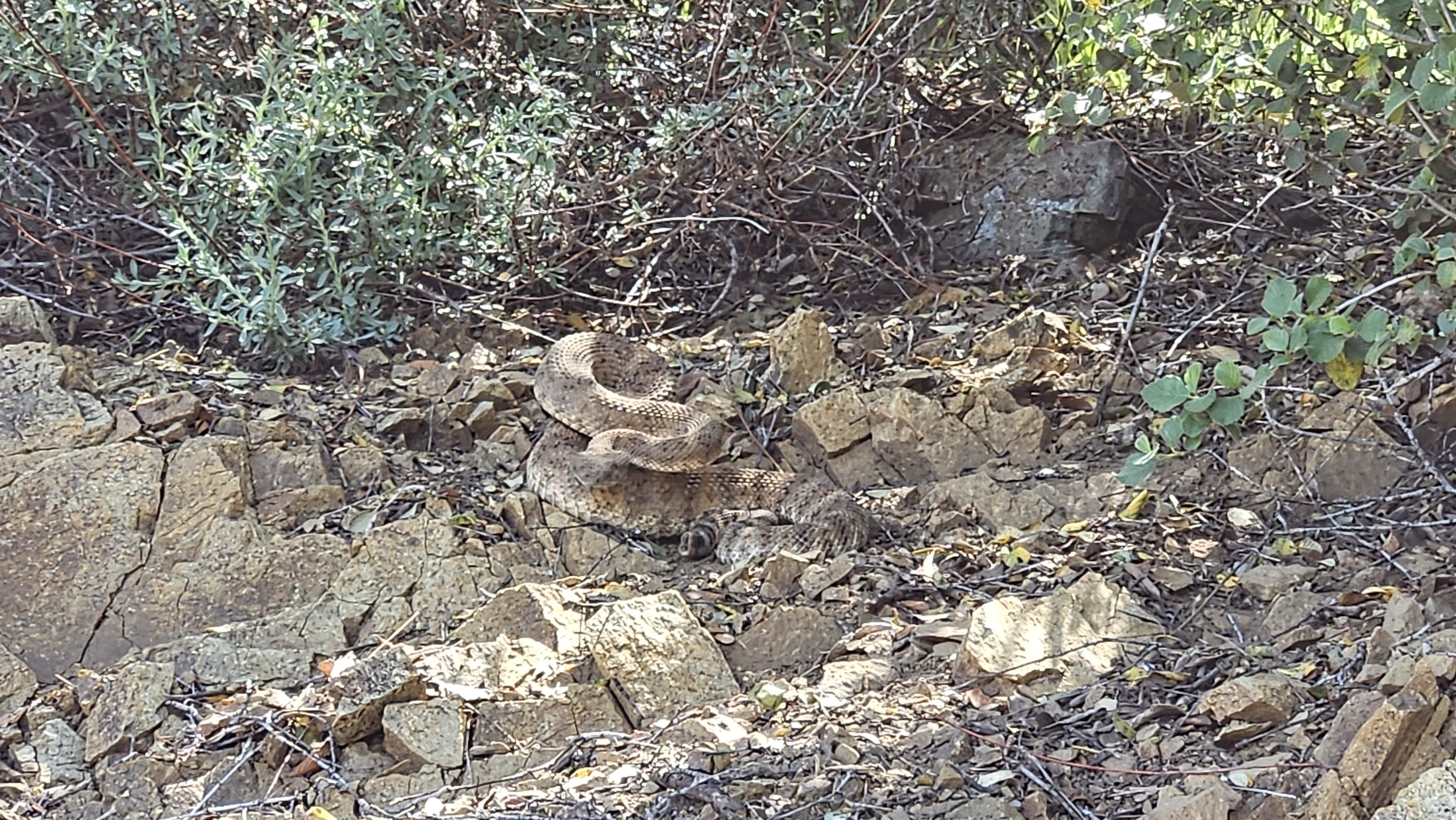
My guess is a speckled rattlesnake, so hidden I didn't see him until the 3rd rattle.

Image
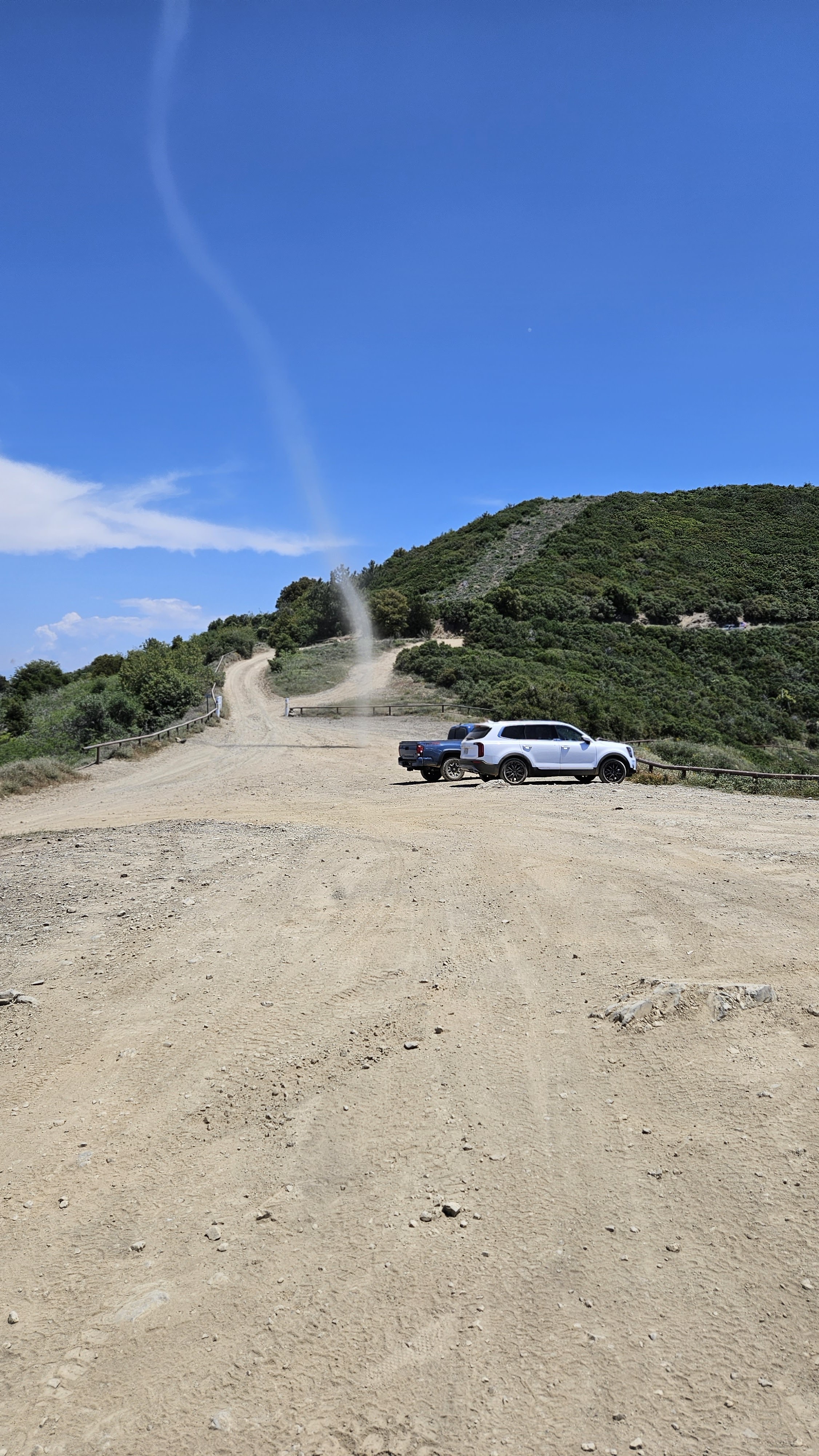
Weird dust devil by the truck
User avatar
Sean
Posts: 3712
Joined: Wed Jul 27, 2011 12:32 pm

Post by Sean »

Thanks for the report of your self-torture. I dub thee Scree Boy. Nice rattlesnake.
User avatar
tekewin
Posts: 1183
Joined: Thu Apr 11, 2013 5:07 pm

Post by tekewin »

Sean wrote: Thanks for the report of your self-torture. I dub thee Scree Boy. Nice rattlesnake.
I was hoping it was more like falling rock canyon where that talus field has larger rocks and is a little more stable. Oh well, the fun was in the exploration.
User avatar
Girl Hiker
Posts: 1297
Joined: Fri Apr 04, 2014 7:46 am

Post by Girl Hiker »

Wow! That's alot of scree! Nice video.
User avatar
JeffH
Posts: 1146
Joined: Sun Nov 28, 2010 7:09 am

Post by JeffH »

Not many people will take a look at a talus field and think "that's just where I want to be".
Nice report. That snake is well-concealed.
"Argue for your limitations and sure enough they're yours".
Donald Shimoda
User avatar
Nate U
Posts: 215
Joined: Wed Apr 05, 2023 7:38 pm

Post by Nate U »

I've only encountered talus in the Wasatch, and was going down at the time. Which was fun but also felt like I was in the process of triggering a rockslide. Going up sounds like a whole lot more work. Never hiked the Santa Anas, but I have a friend who lives in Temecula now so I might tie it in with a wine country weekend. Wine and scree pair well I assume.
User avatar
craigchanowski22
Posts: 14
Joined: Mon Aug 22, 2022 4:09 am

Post by craigchanowski22 »

Great pix-thanks for sharing
Post Reply