Lower Blue Lake
The "moguls"
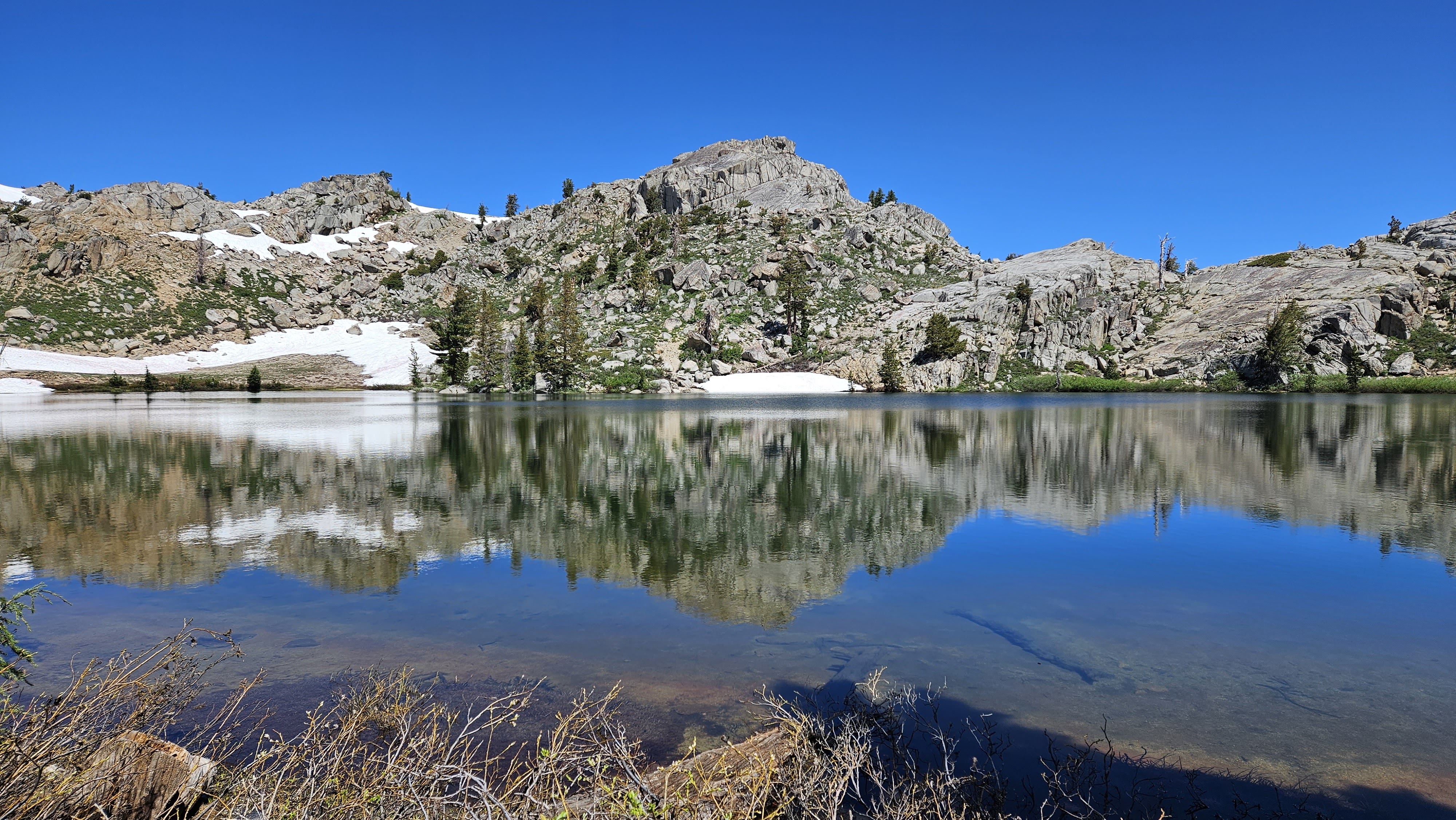
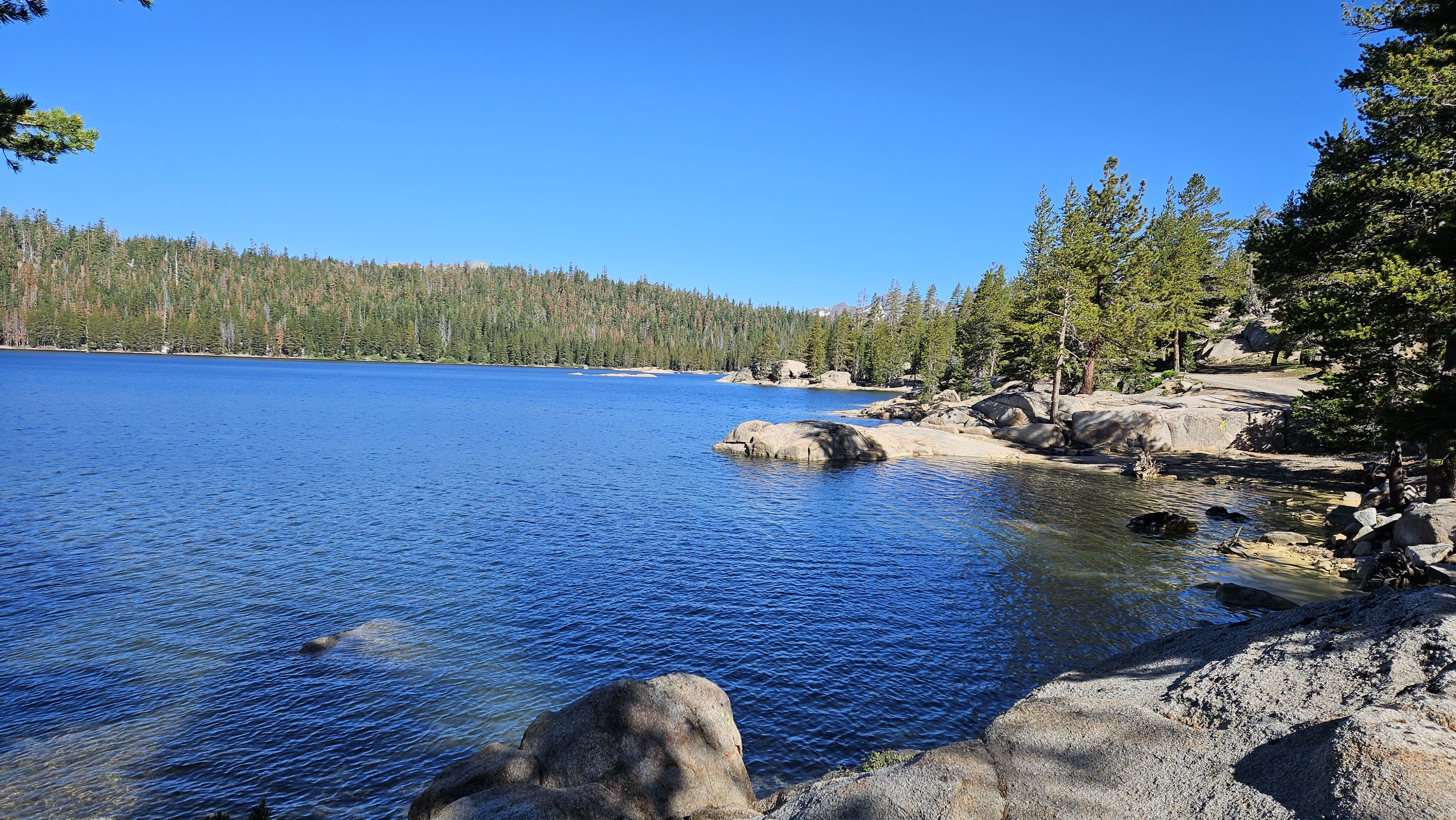
Granite Lake
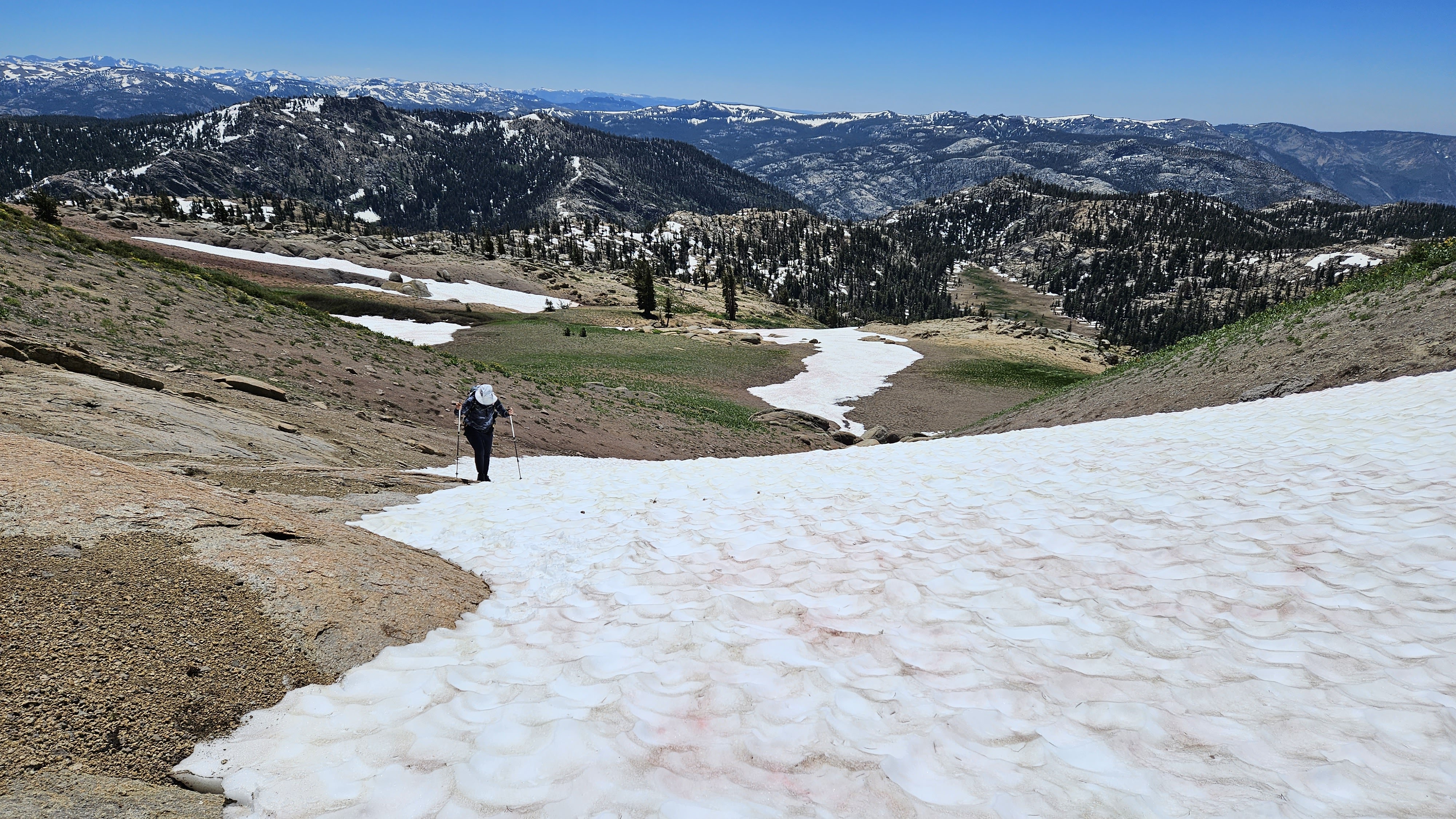
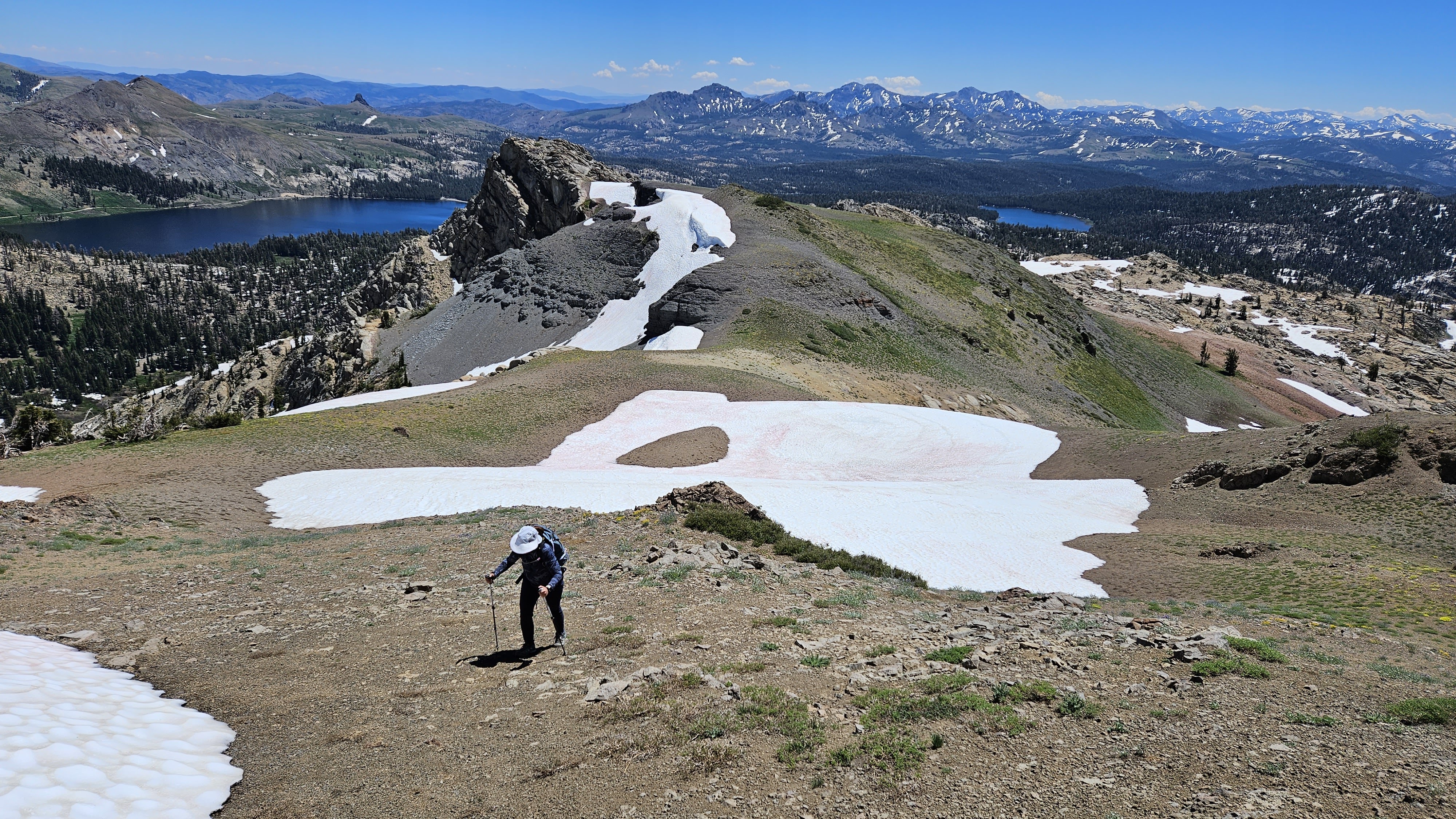
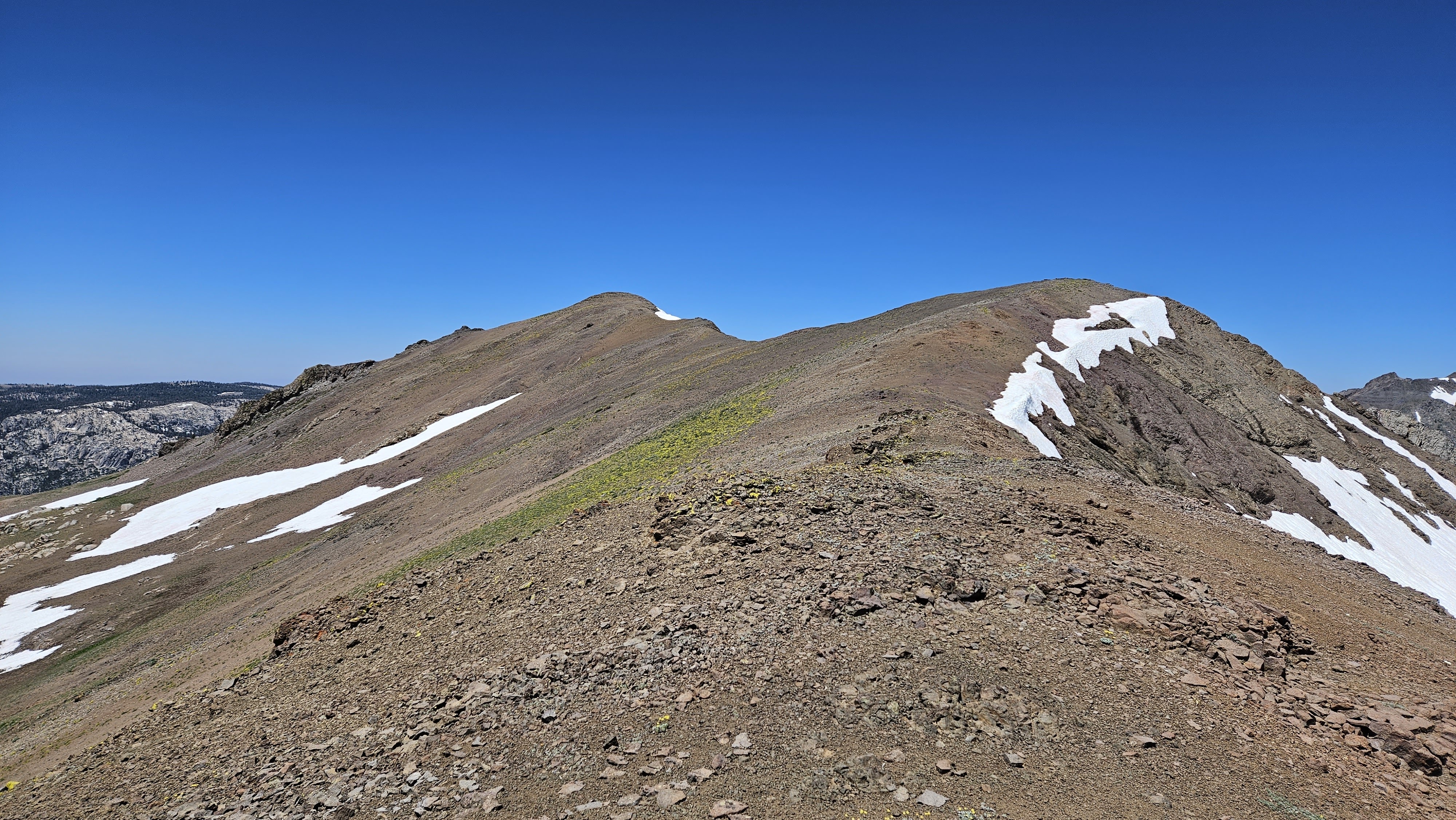
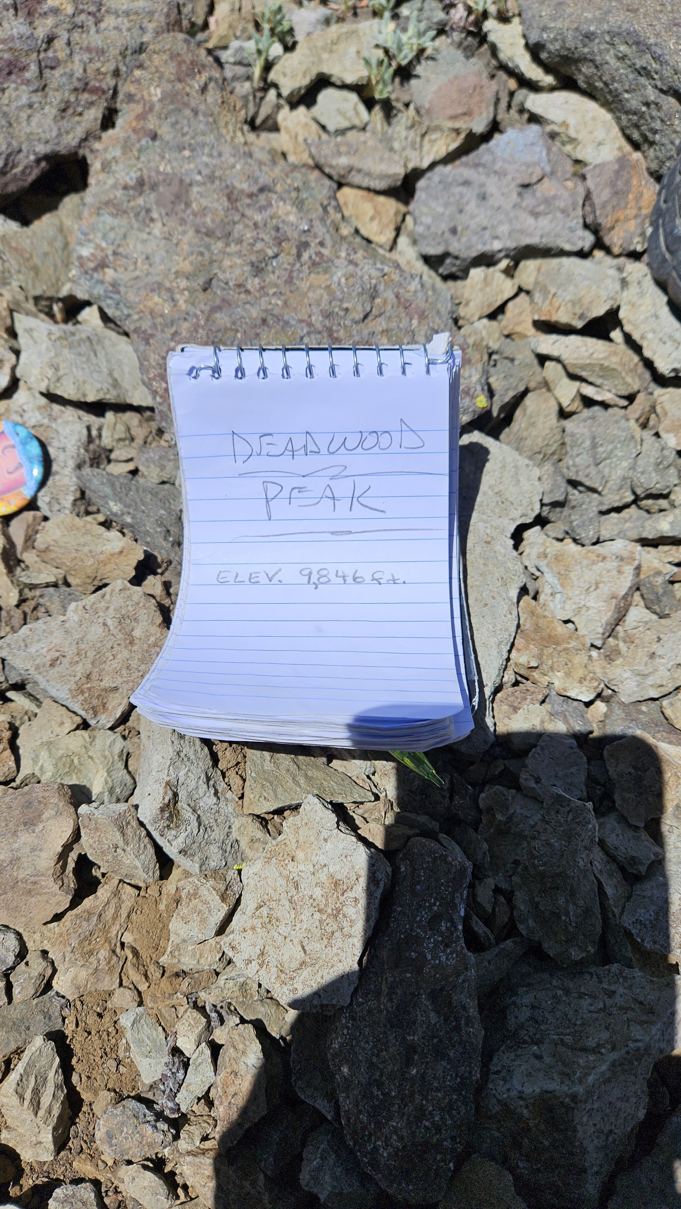
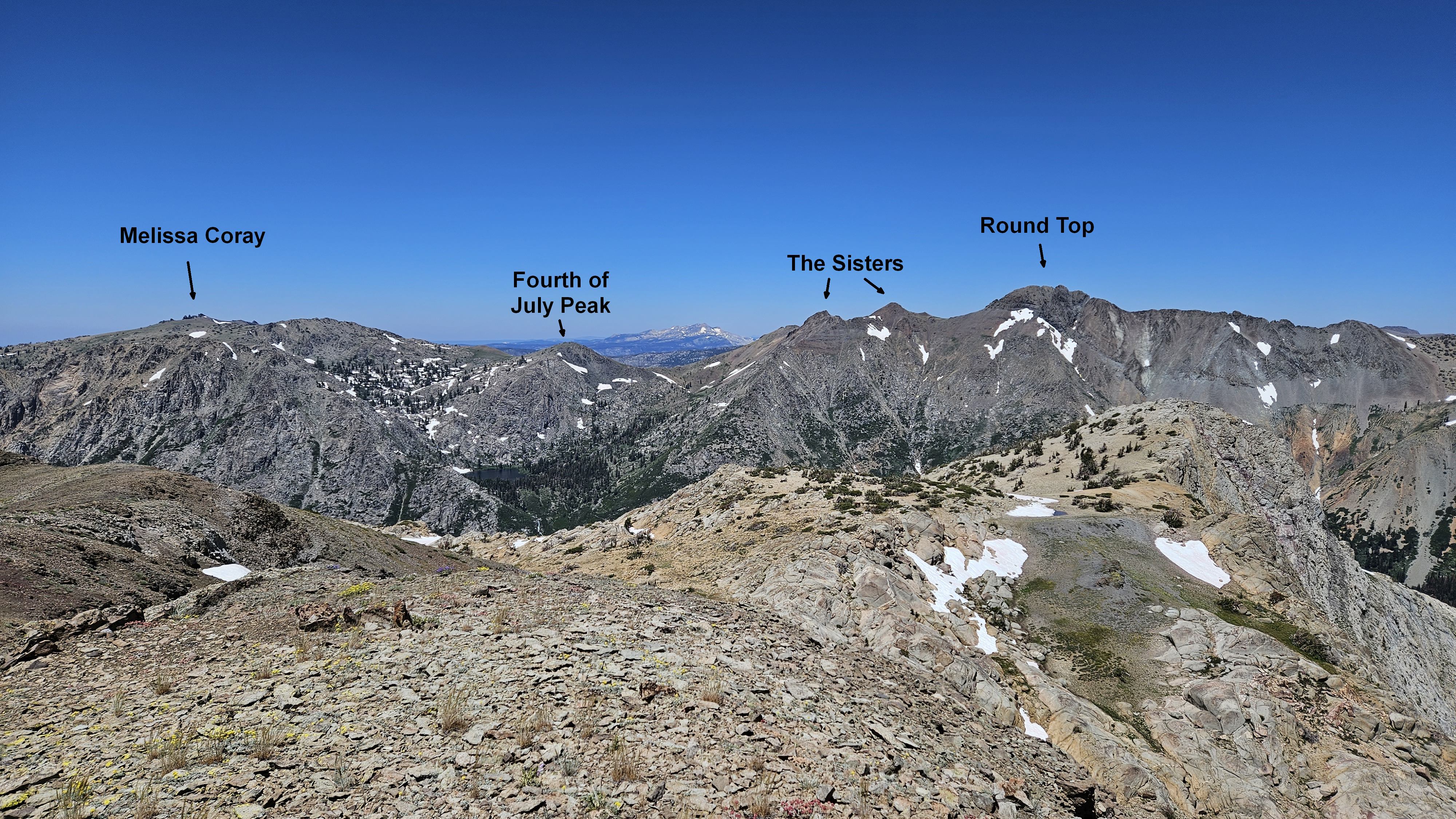
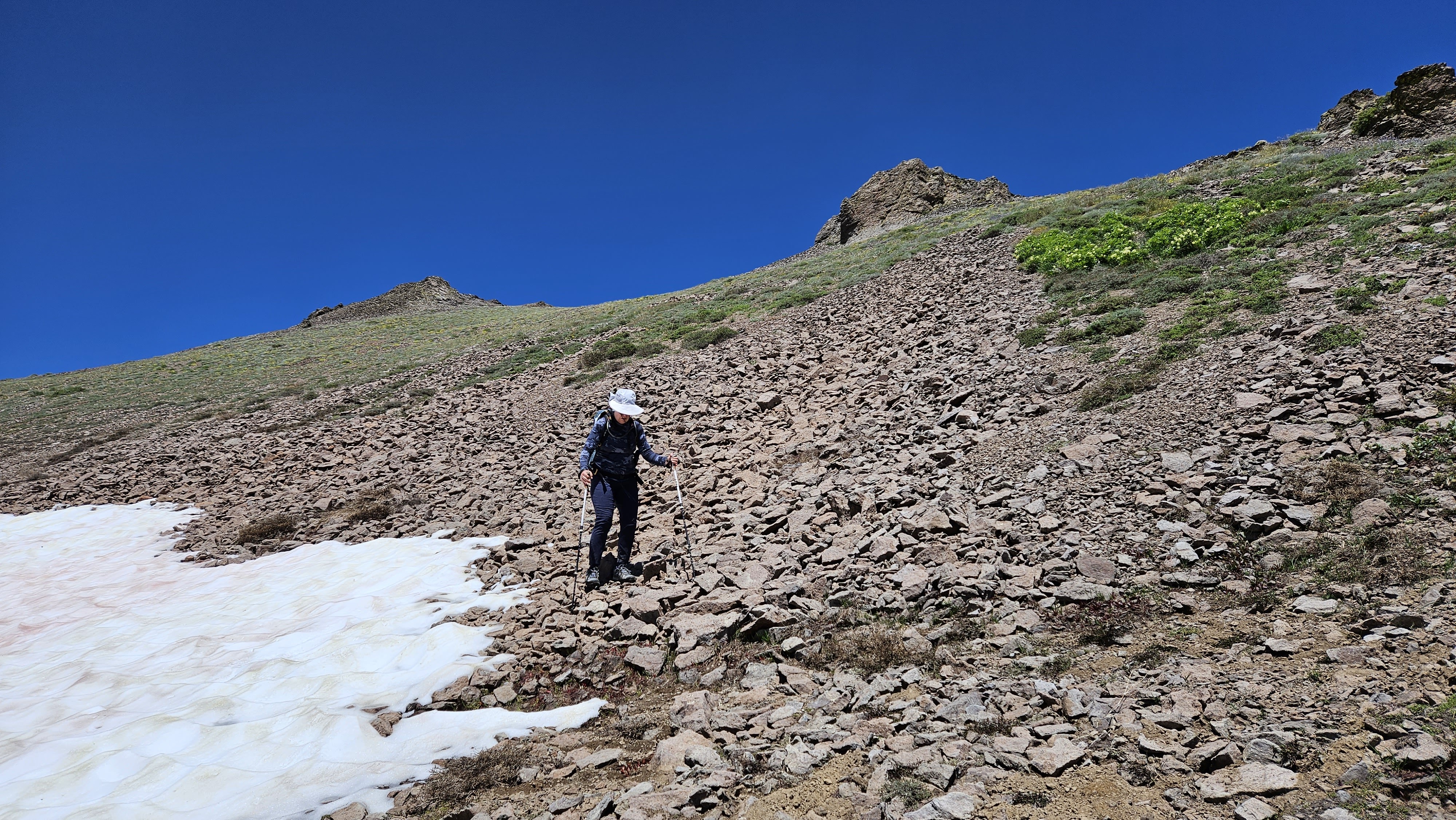
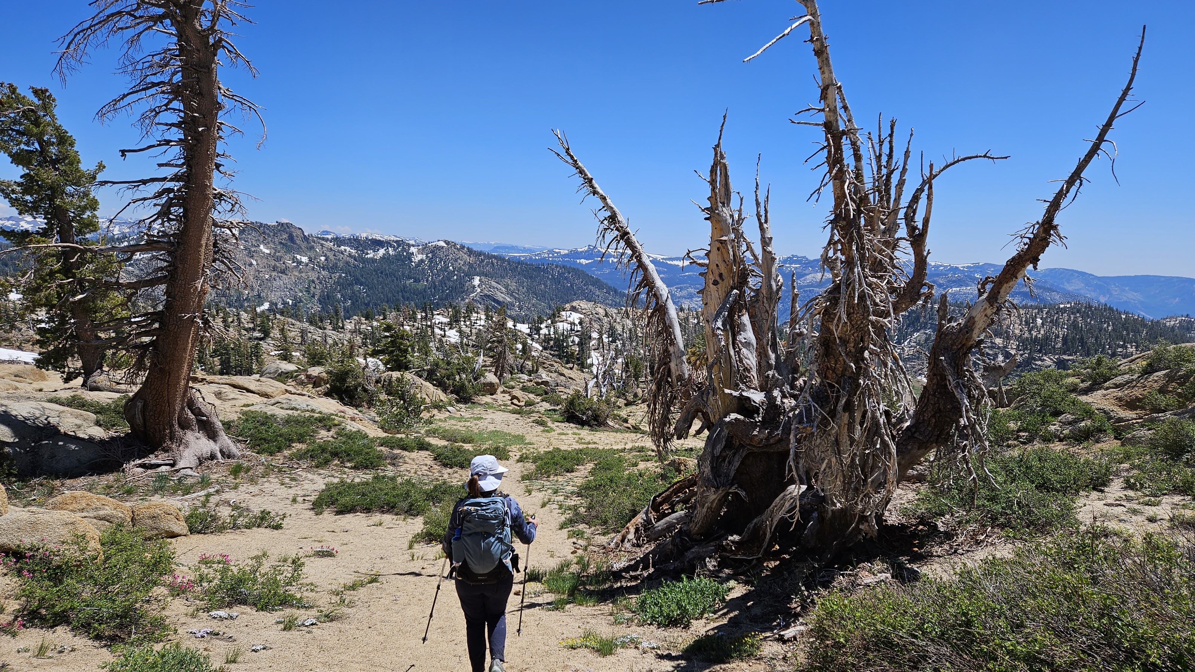
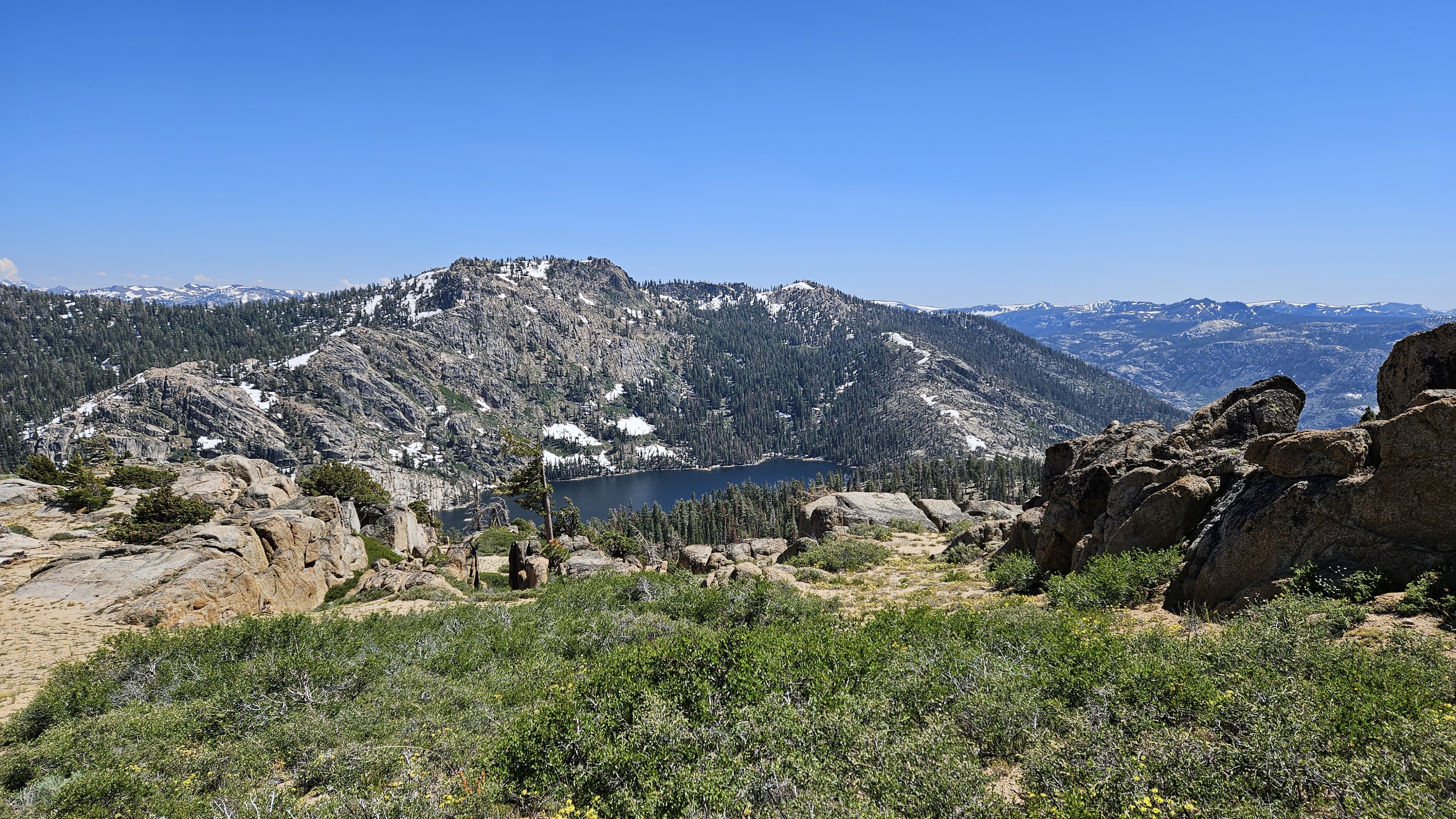
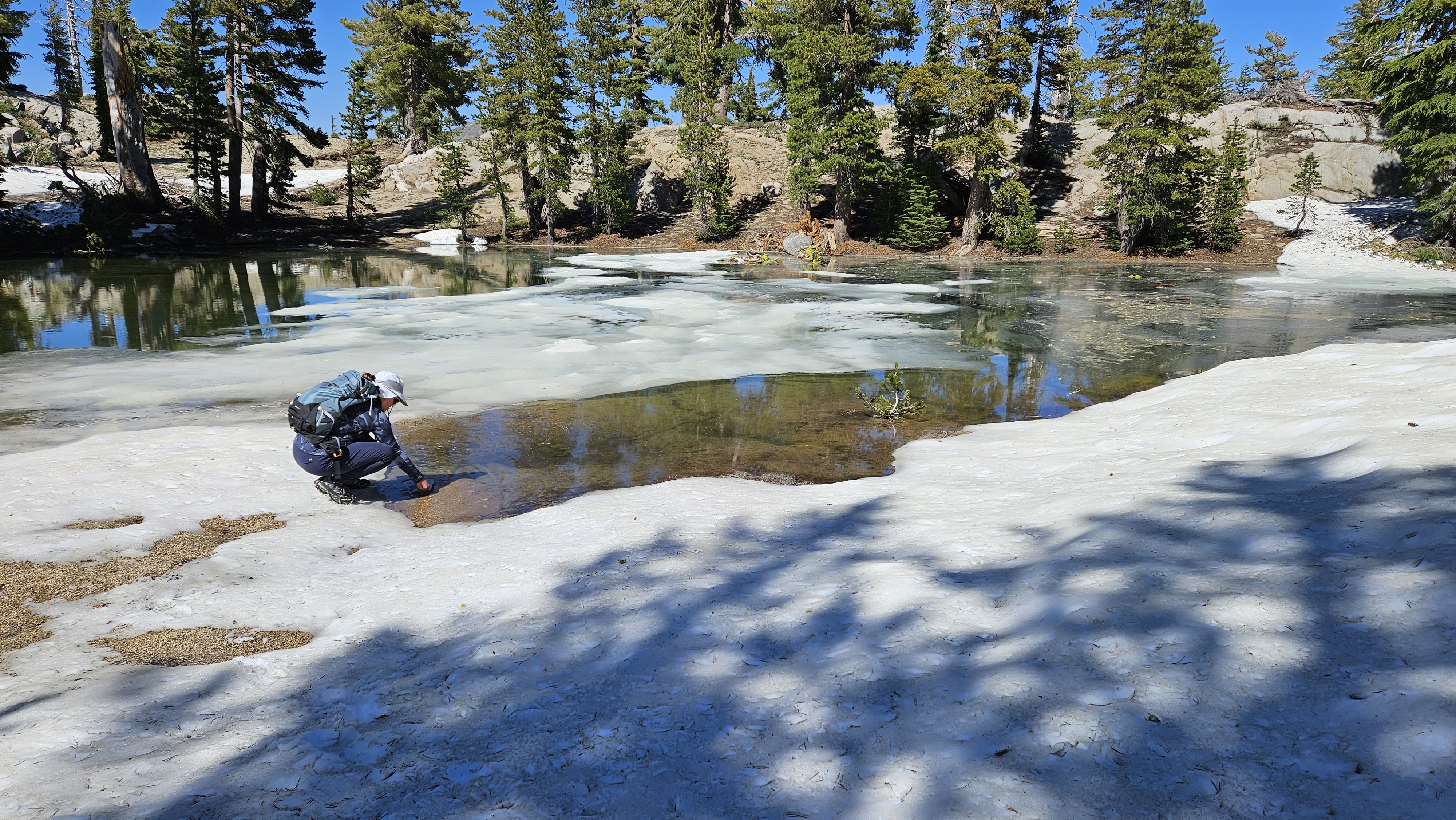
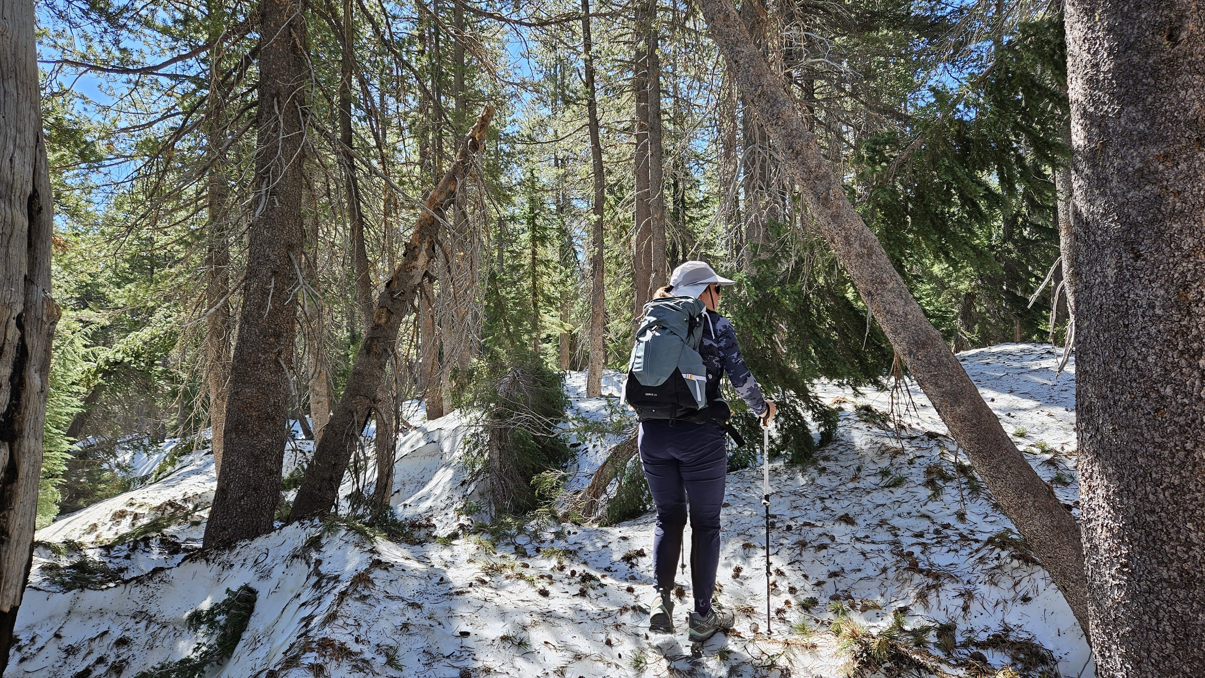
Conditions began to favor us, and we found ourselves donning and doffing our spikes as the terrain dictated. The landscape unfurled around us, revealing mountains partially veiled by snow. As we neared the mountain, we were faced with a choice: to ascend via the eastern ridge or to aim for a gully closer to the summit. Both paths were adorned with snow. The eastern ridge appeared more navigable. We hiked just above the snow field, crossing it only where a break allowed. The ridge grew steeper, and we carefully made our way upwards, only to discover that we had not yet reached the summit. The true peak now lay before us, a quarter mile away. The summit had a small cairn and a register jar. The last signature dated back to June of 2021. There were no marks. We added our names to the list and reveled in the panoramic views. Our descent led us down a gully on the other side. We retraced our steps, donning our spikes as needed. The hike had taken us several hours longer than anticipated, and we found ourselves stopping at one of the lakes to filter water, of which there was no shortage. Leisa led us back through the moguls, and we breathed a sigh of relief as we returned to the road. We made our way back to Lower Blue Lake, celebrating our triumph with burgers and nachos at the Kirkwood Inn.