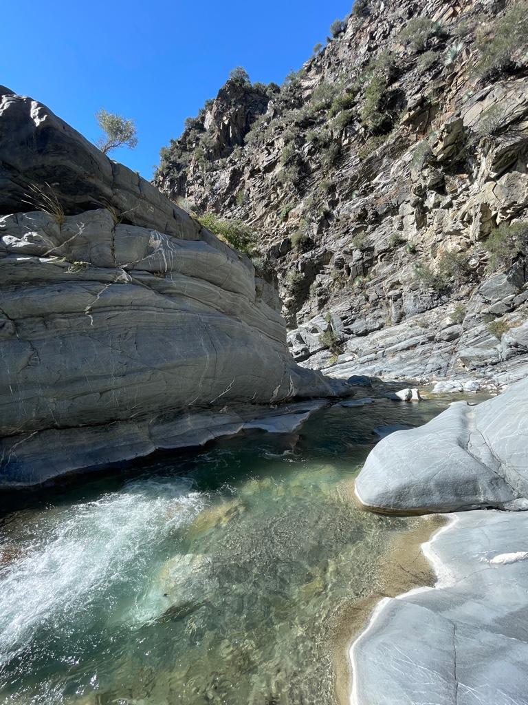
Lots of water still flowing everywhere even so late in the season. There was definitely more water flowing than last time I was at the East Fork in June 2022.
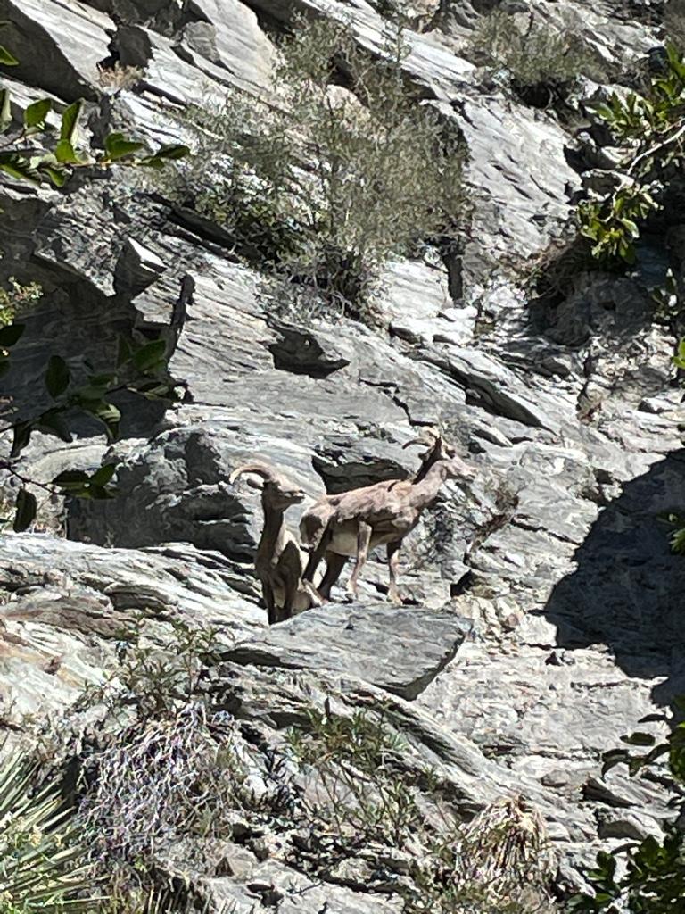
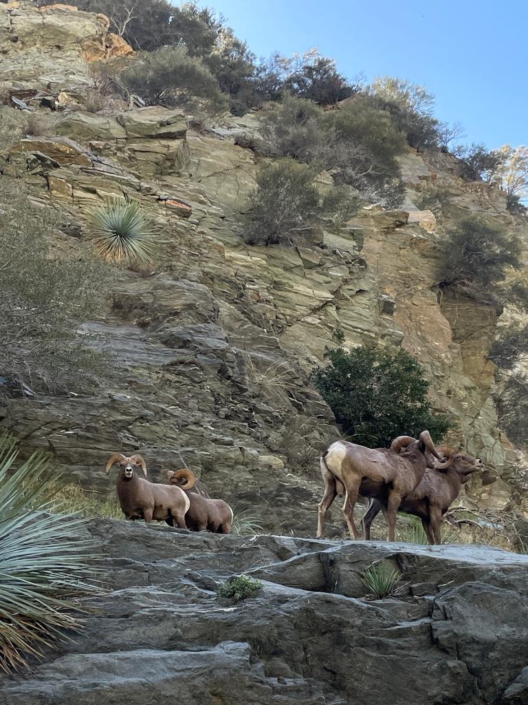
I saw about 10 sheep 2 separate times
on the way up before Iron Fork.
The camp at Fish Fork is quite nice and shady, I found it nicer than the camp at Iron Fork. It’s also easier to find from the river than Iron Fork camp.
I went a bit up Fish Fork, probably not more than a mile. I turned back because it was getting late in the day and I did not want to be out there in the dark.
I’d love to make it further up Fish Fork, does anyone know about how far you can make it up from East Fork without climbing stuff?
Now the only section of East Fork I haven’t seen yet is between Fish Fork and Prairie Fork. I’m sure I will make it there soon enough.
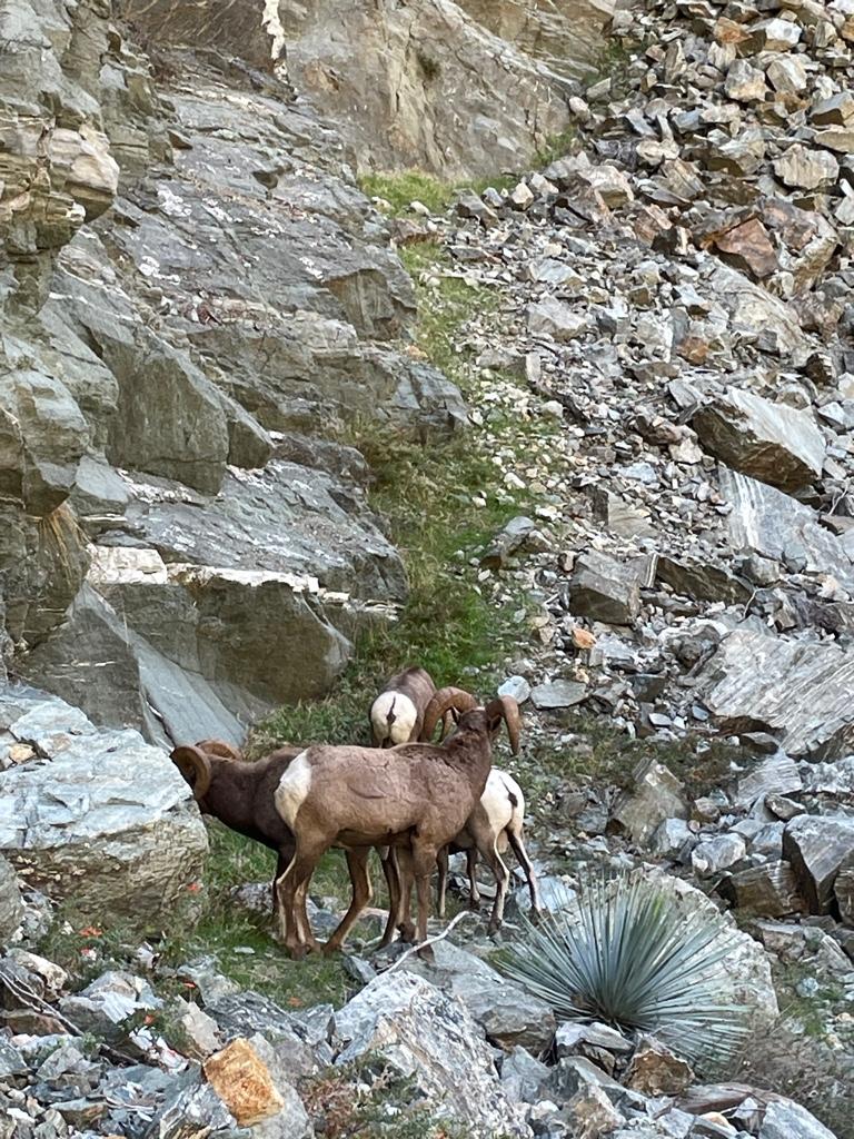
On the way back to Heaton Flat I saw about 10 sheep again, this time on both sides of the river. I heard the sound of the rams butting heads very close to me on my side of the river.
There were 4 males not 15 feet from me just above me on a flat bench. I was so lucky that they let me get so close and hang out with them for 30 minutes. They weren’t interested in me at all or scared or anything, they were more interested in what they were doing. I’ll never forget that experience!
I did about 22 miles over 3 days. I know I’ll be back to the East Fork beyond the bridge soon enough. That area’s got a power over me that I can’t really explain, but I know folks here will understand!
Thanks to everyone for sharing so much awesome and informative trip info on here, I really enjoy checking out everyone’s trips and it’d be cool to join some excursions with somebody some day as well.
Some pics:
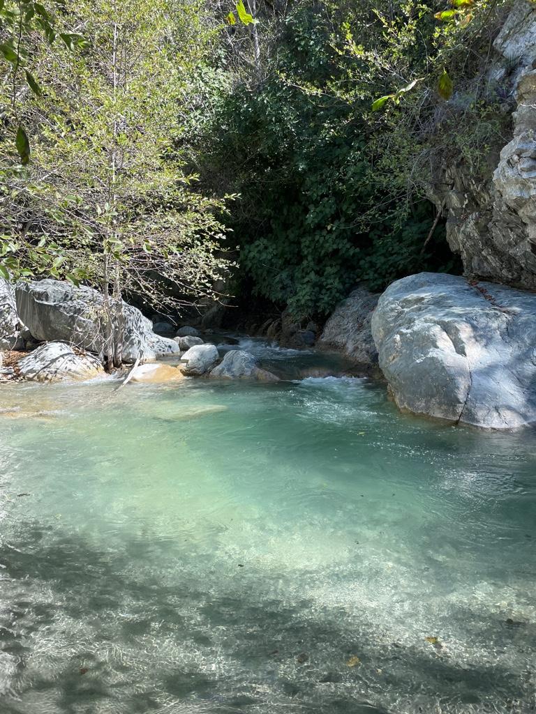
I love the color of the water here.
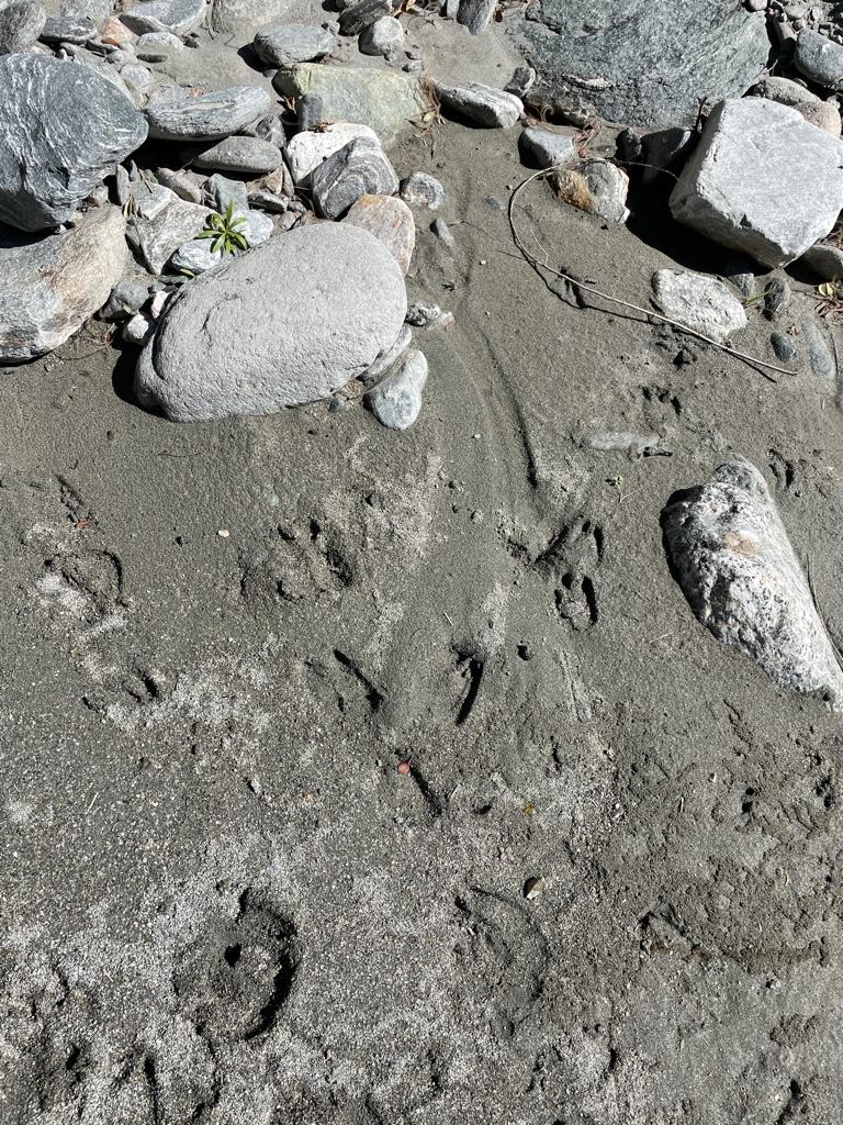
Some of many sheep prints above the bridge.
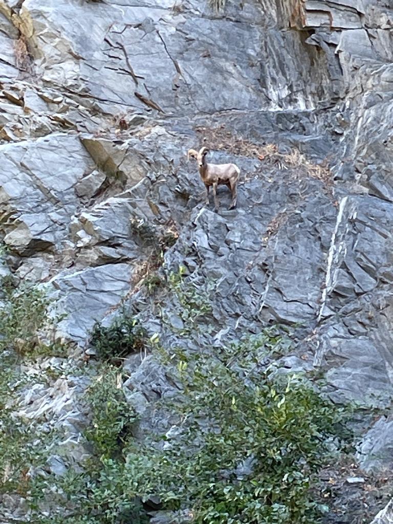
First group of sheep
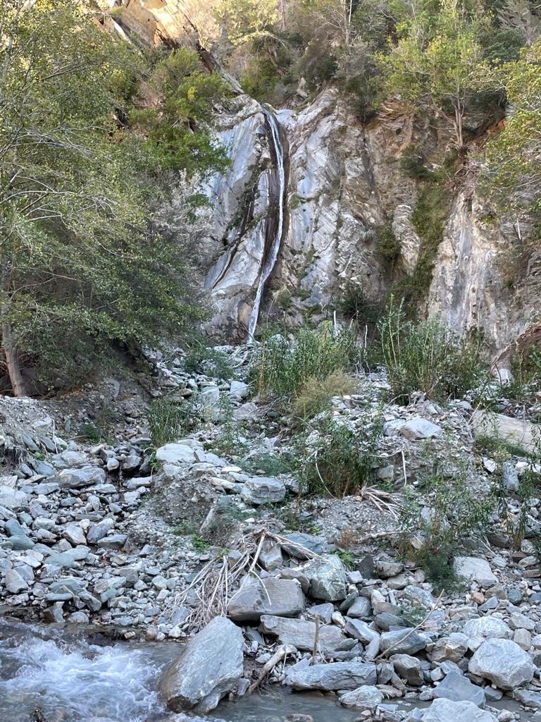
Falls Gulch
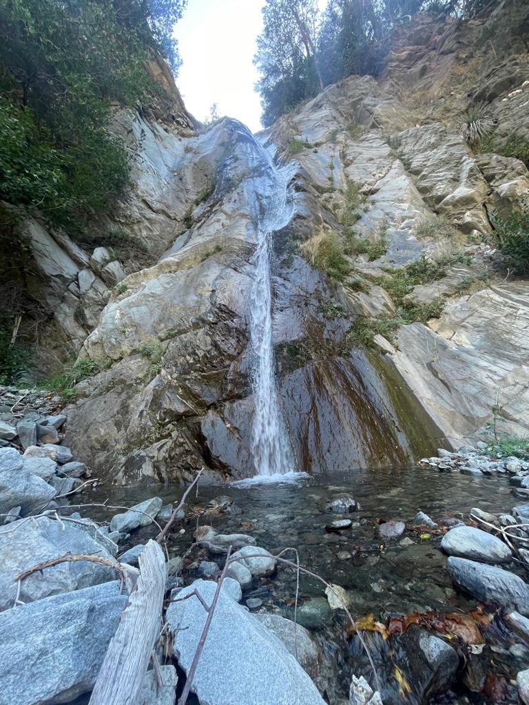
Falls Gulch
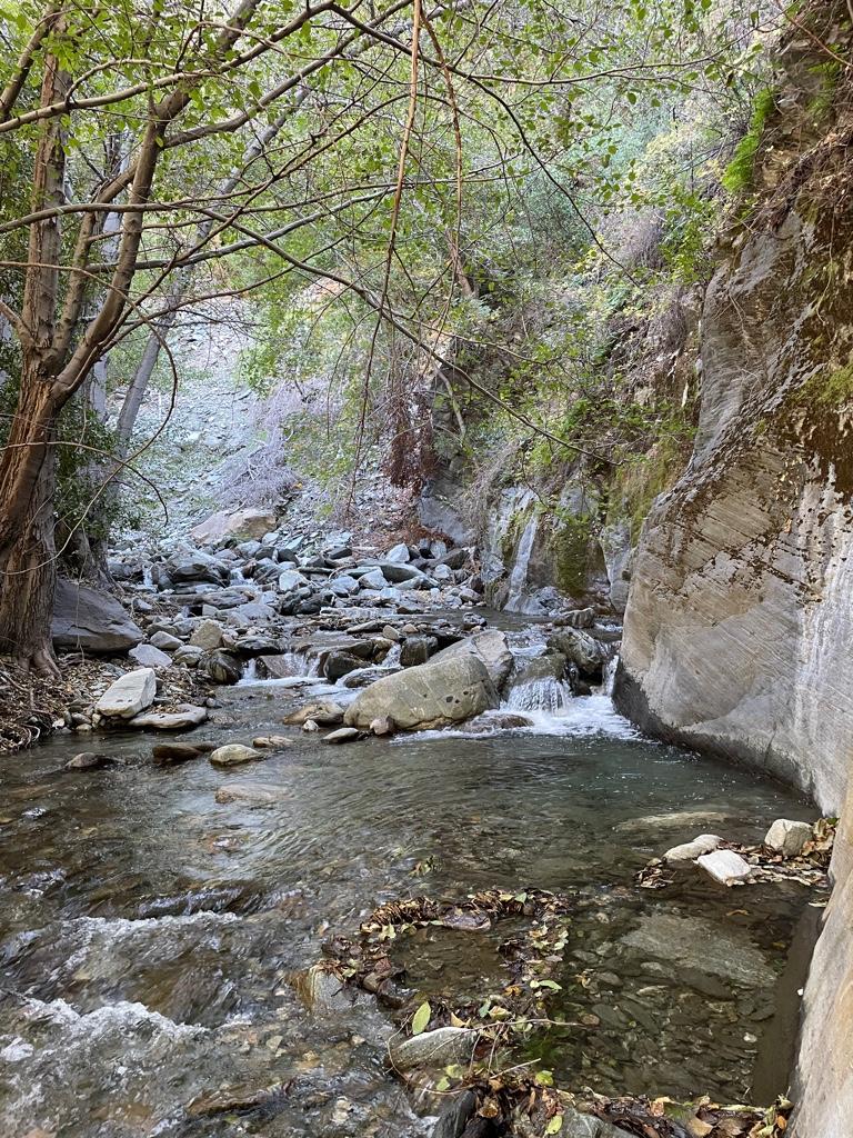
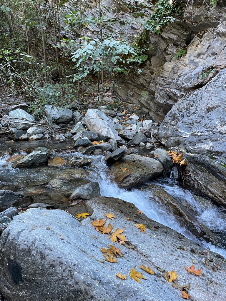
Fish Fork
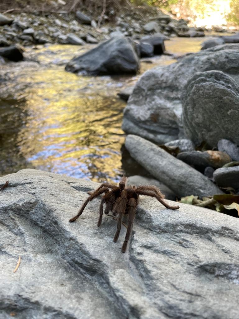
One of 2 tarantulas
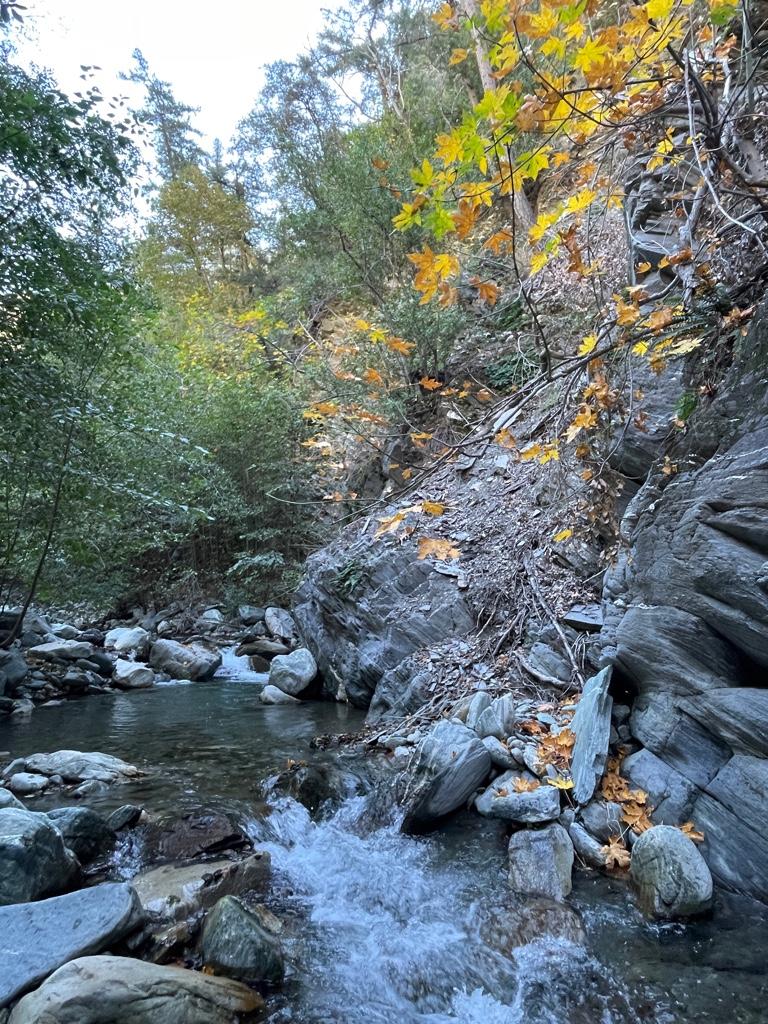
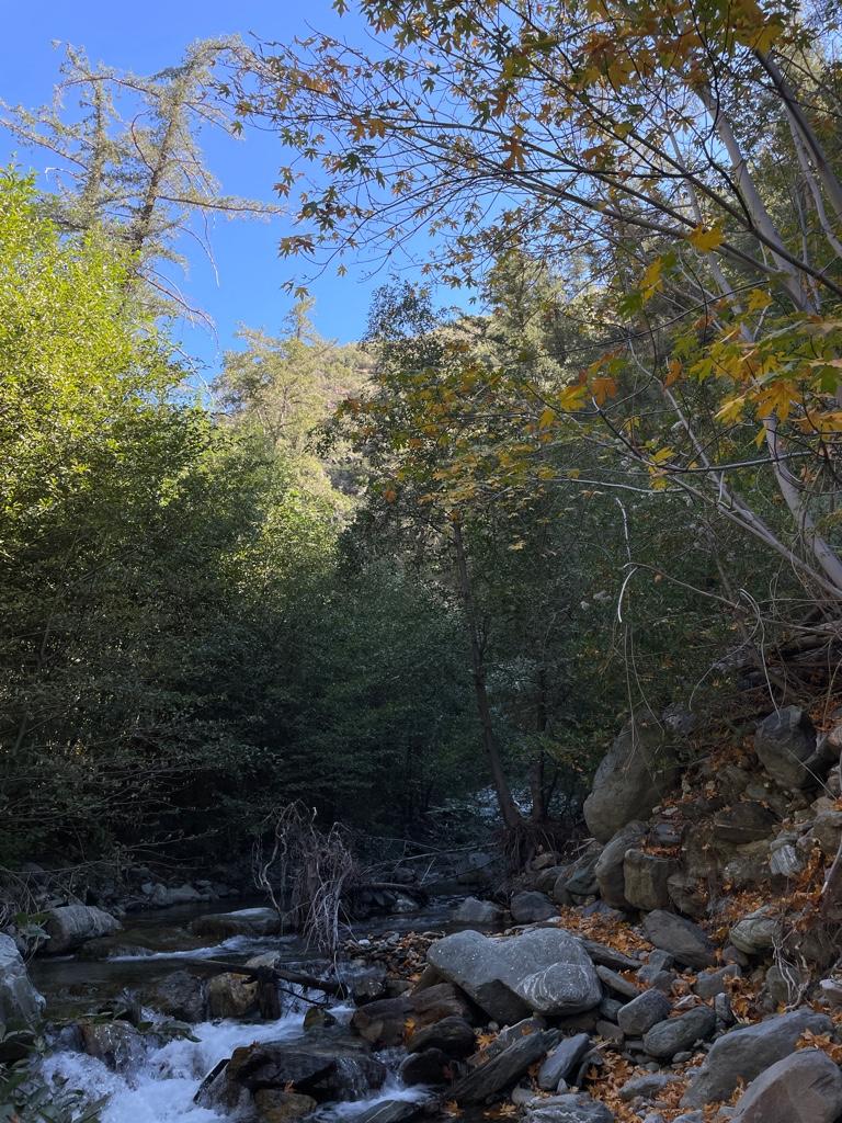
Bit of beautiful fall colors up Fish
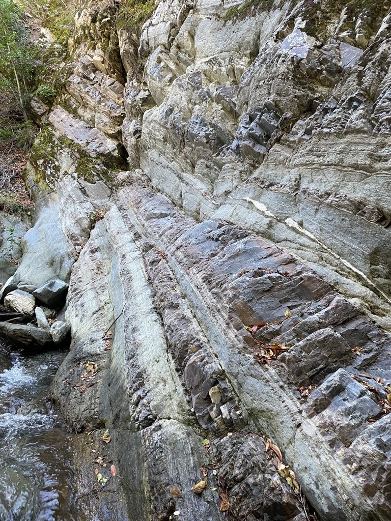
Wall at Fish
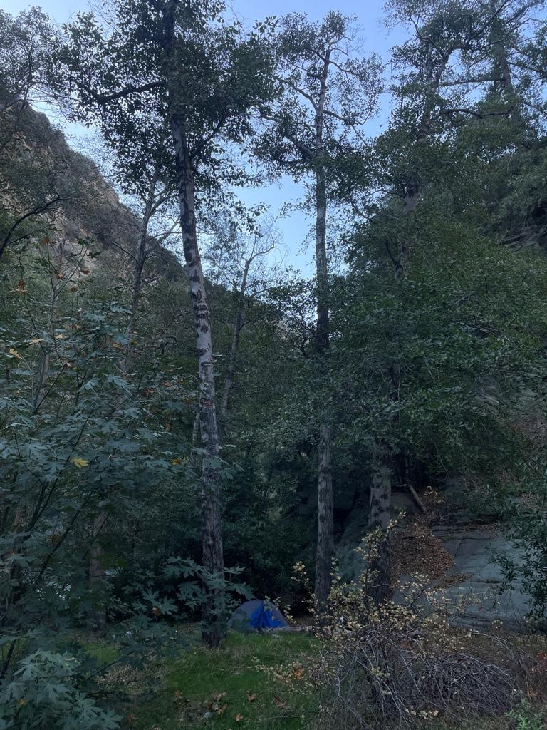
Fish Fork Camp
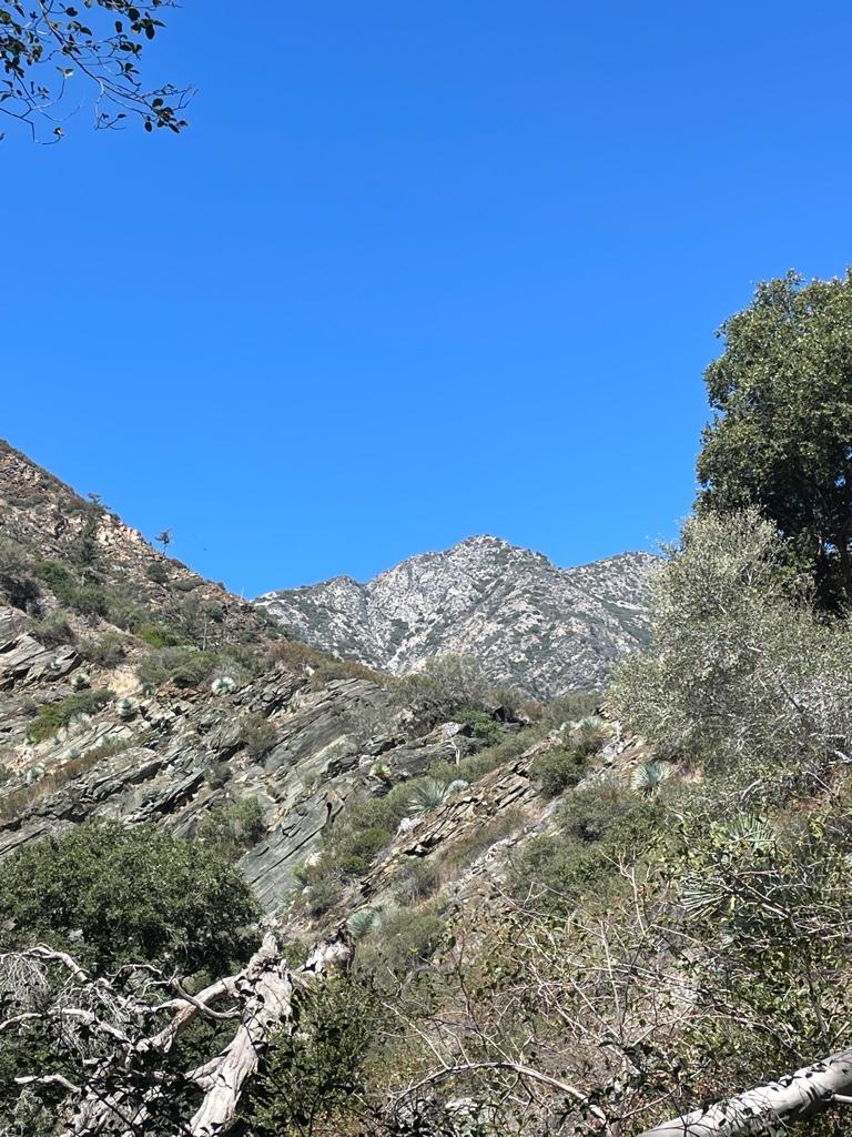
Can anyone ID this peak above Iron Fork? Is it Ross?
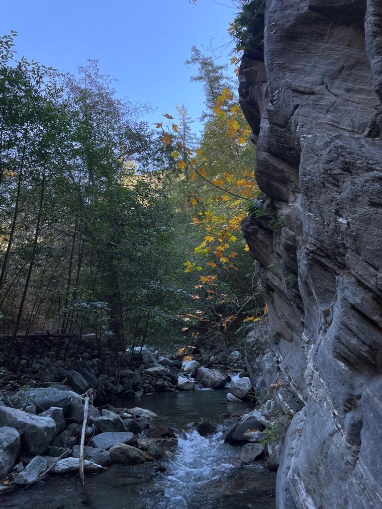
Narrows
Sheep across the river
My friends the rams
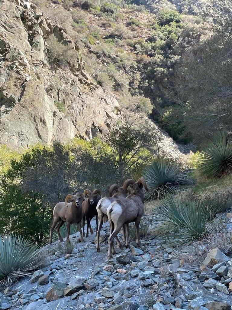
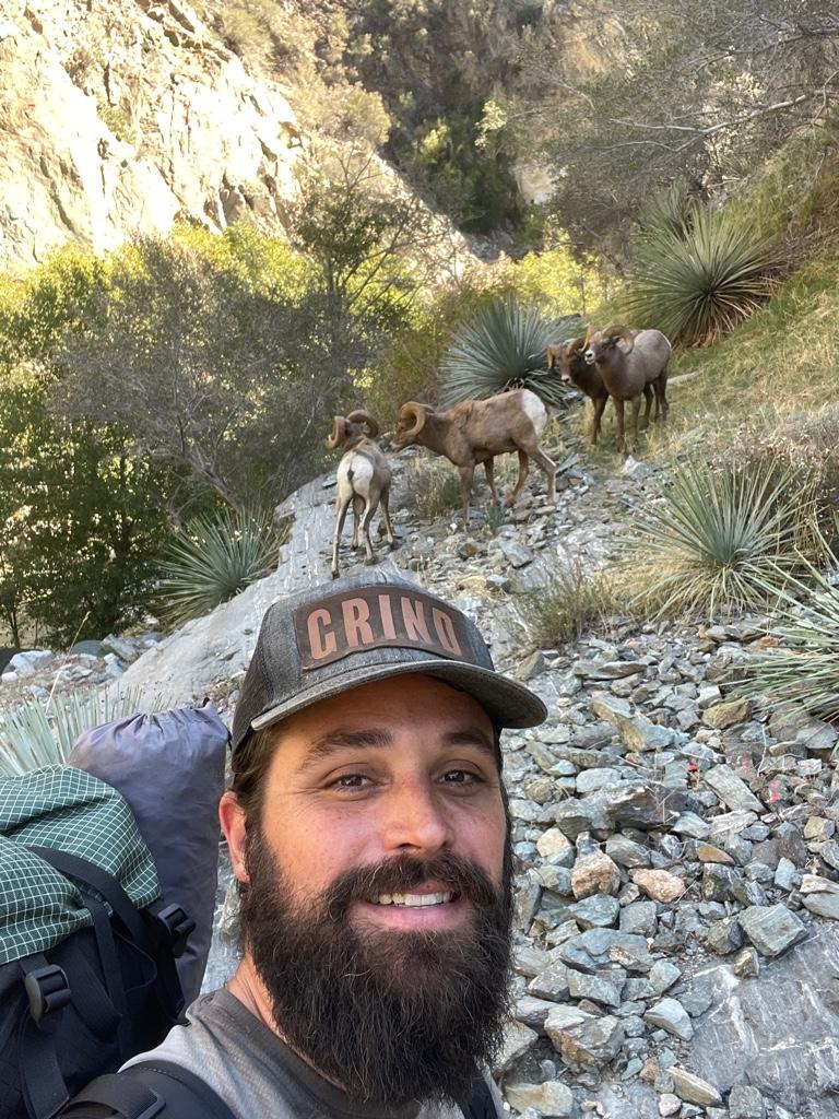
So close I could smell them