
A couple weekends back was a 3 day-er, so Rich and I got to brainstorming wilderness adventures. I had been hankering to go back to sespe hot springs, and particularly to try out the bike/hike combo of cycling in on grade valley road (closed during these winter months), then hiking down there via the johnston ridge trail. Usually it's way too hot since it's all south facing, so the winter time is perfect.
We had some concern over reports of 1-2" snow near the start that could turn the bike ride into a mud slog, but went for it wondering what exactly we'd find. Saturday morning we set out, parking at the junction of grade valley and lockwood valley road and loading up the bikes. There were some scattered bits of snow that we occasionally biked over, but mostly just dirt. In some places it got muddy and our tires kicked up some sludge but nothing too bad that would cause us to have to walk it (at least with 2.2" tires). The 12ish miles of biking was pretty enjoyable and strictly type 1 fun since the road was devoid of any other people or cars. There was a hill climb near the start following by a long descent and then lots of rolling up and down. We were hoping to bike up to the point where the trail starts descending down johnston ridge itself, but the road turns private soon after the trailhead (4900ft elevation), so at this point we converted over to hiking. Another 8ish miles later and 2500ish ft down, we were happily soaking in the springs (2600ft).
A big topic of debate was what we should do with our middle day. Rich suggested we hike down to the sespe river and check out the gorge, but I got the idea that we should go up nearby san rafael peak (6600ft). After an IPA in the hot springs this idea sounded better and better. It wouldn't make sense to go up and then come back down on that middle day since that would require tons of extra hiking, but tagging it on the way out with lighter packs looked like it could actually provide us a shortcut back to our bikes at Mutau Flat--at least in terms of mileage, but all off trail, and with an extra couple thousand feet of elevation gain. The topo map and slope shading also suggested it was doable. And so on that middle day we scouted out the first 500ish feet of elevation gain up the ridge, starting by taking the old degraded road cut into the steep hillside just up the hot spring canyon from the spring source. While steep, it was doable. We returned the next morning with our packs and headed up. The start is probably the steepest, and then it levels out considerably. The next crux was the saddle around 3700, with the north face being packed with bushes. It was steep and pokey, but not too bad to make it down. The other side looked deceptively steep, but was actually easier than the stuff before. Up near the top, around 6400ft the ridge gets rocky with some exposure to the east, and is 3rd class briefly, with a walk around to the west. Great views on the way up and from the summit! The hike back to Mutau flats was awful, though, in terms of navigating dense and pointy vegetation; I think there's probably an easier line that we missed. Anyone else done this line?
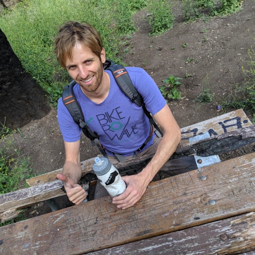
san rafael peak via the south ridge, from sespe hot springs

I hiked San Rafael from Mutau, there is a very specific ridge route you need to take. From the peak returning to Mutau, you go westward through a nice forested section and then you make the turn north where it is more exposed. On some of the bumps as you head northward there is a use trail on the east side of the bumps, don't go over them. Finally you get to a flat section where it is easy to continue NE, you need to find a narrow ridge that continues directly to the north. Even with me coming up this way, I had a hard time finding that thin ridge. From there you get to the saddle after a couple more bumps and you're back on trail.
-
Uncle Rico

- Posts: 1386
- Joined: Thu Mar 20, 2008 7:48 pm
Cool trip. That big flat area off of San Rafael's south side has always intrigued me.
