Well, I'm the kid now. I've been nearly obsessing over this route since January. I tried twice to get at it, denied by high water outright, then cold temps that made wade-or-swim ill advised. This past Saturday (20-APR-2024) weather improved and made the cold river crossing a delightful extra. I arrived at a busy trailhead, end of Templin Highway, and set about riding up-canyon. There are several mandatory stream crossings before reaching Cienega Campground, and one after. As I rode up the canyon, I passed several groups of hikers. The largest group was peppered with 50-80-somethings encumbered with bird-watching gear. One of the old greybeards was eyeing my bicycle in a rather covetous manner.
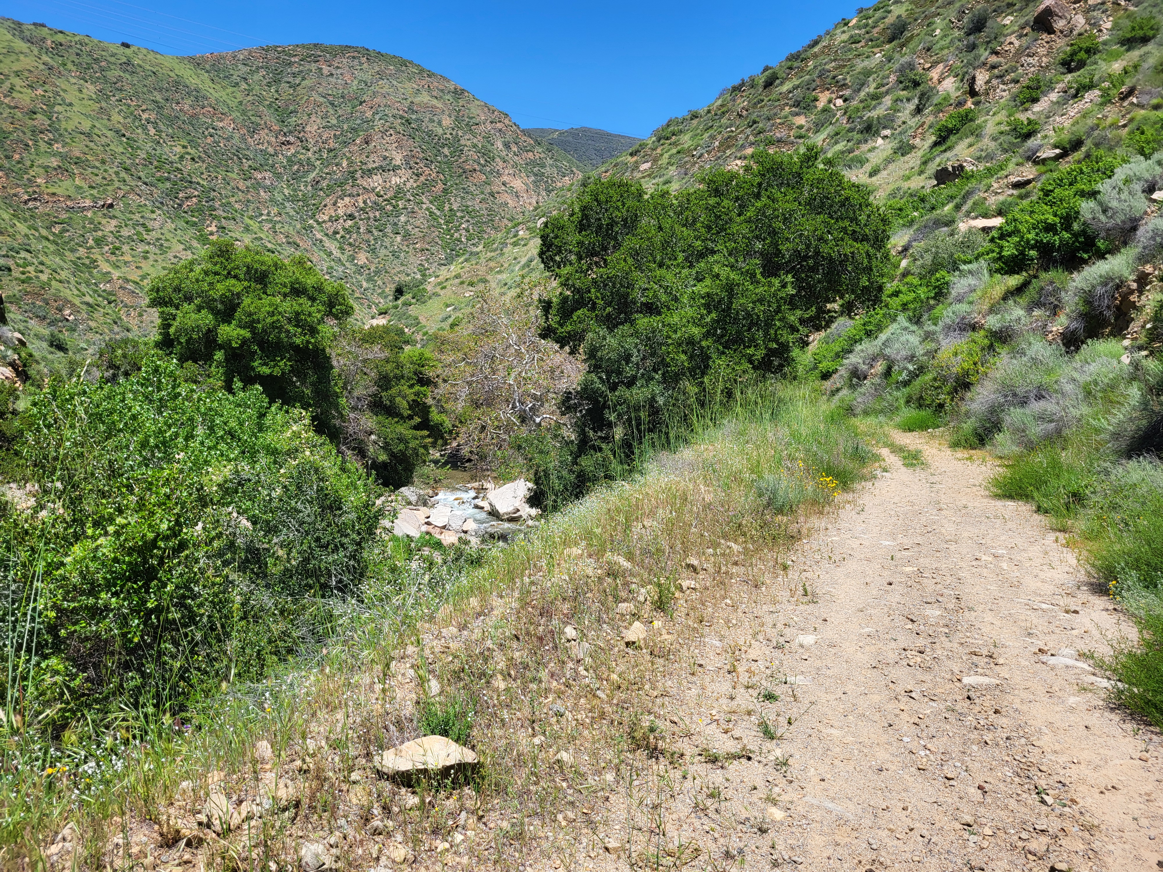
Here's a bit of the trail/road leading up to the narrows.
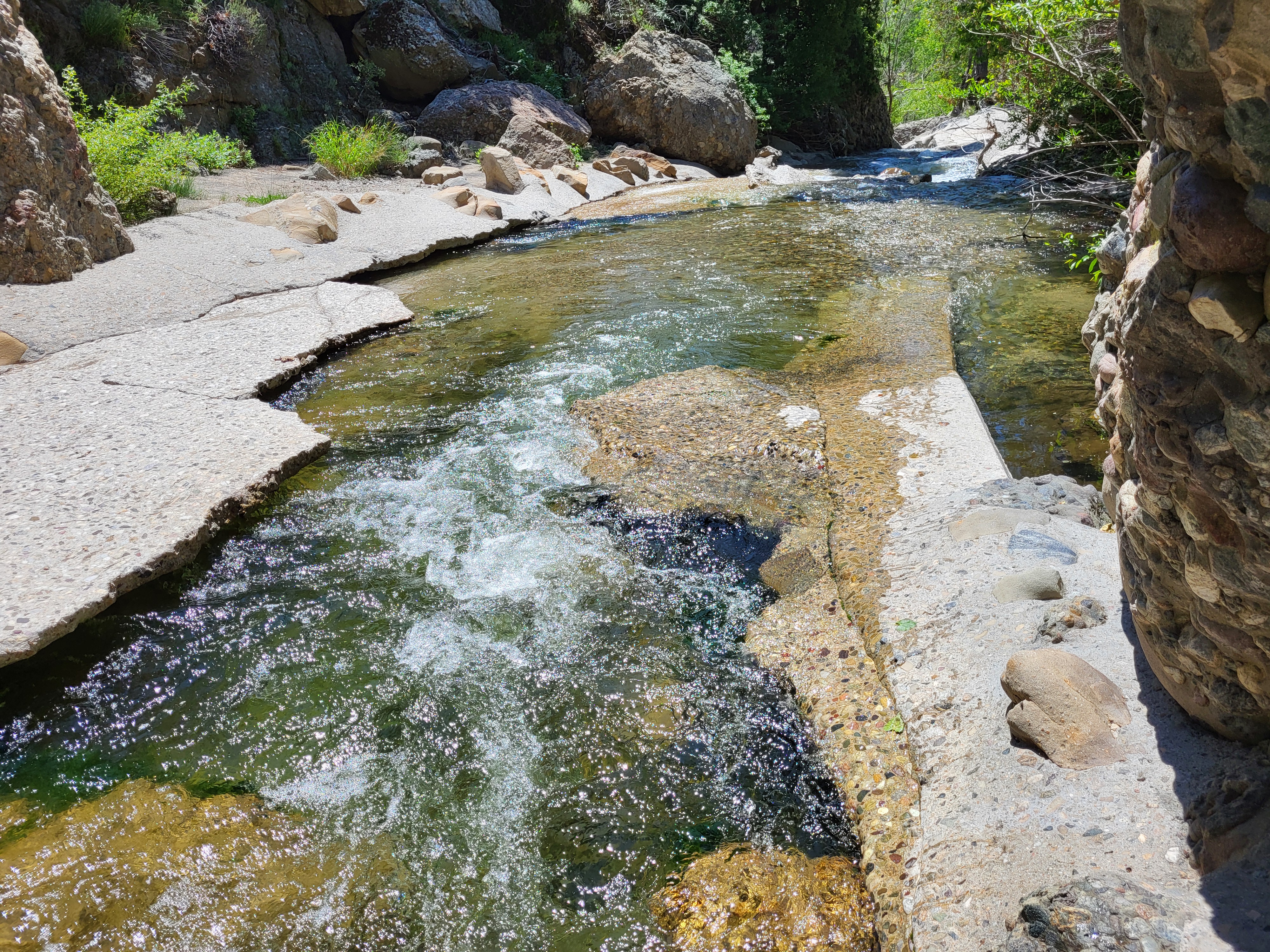
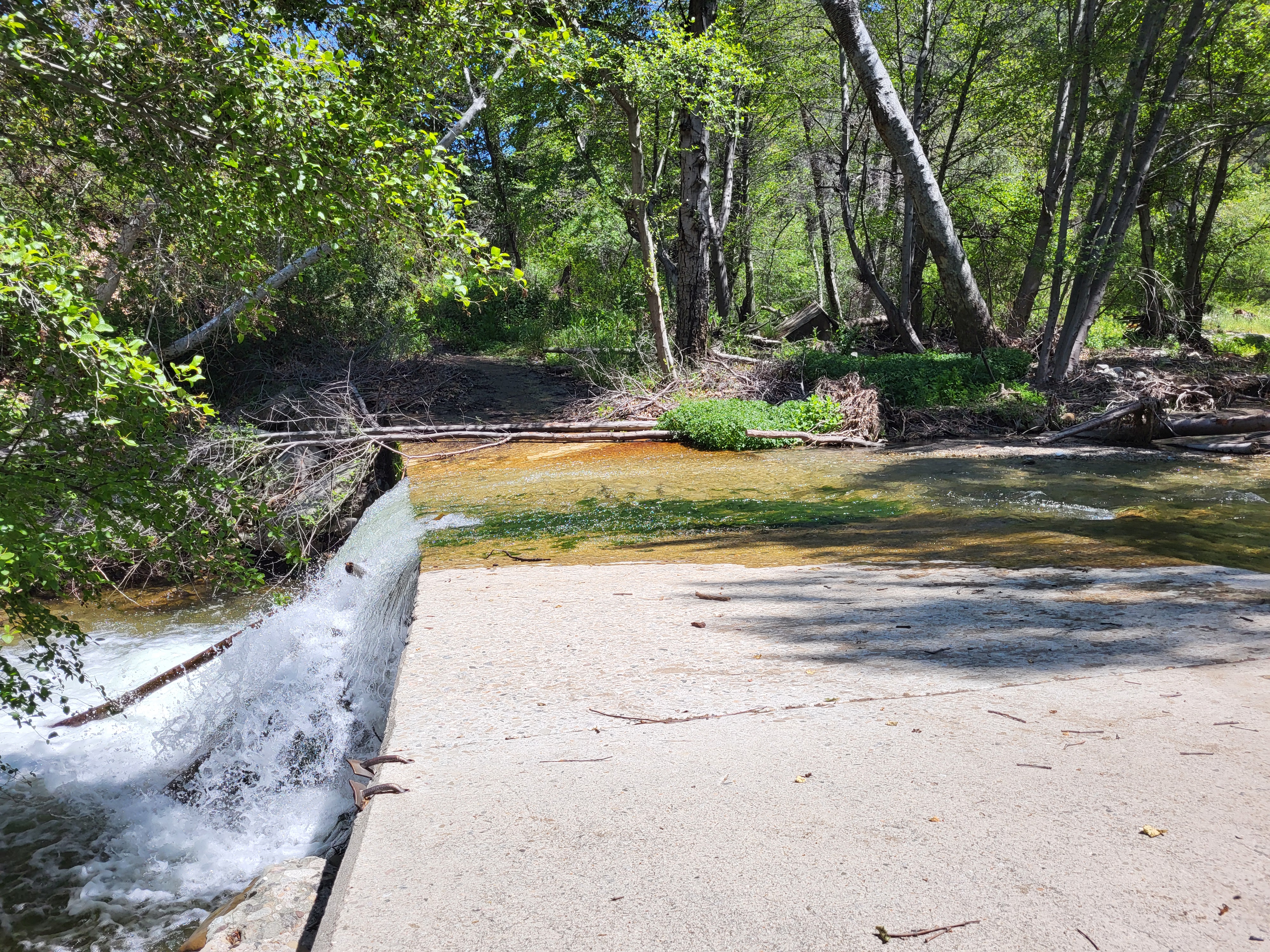
This is the start of the narrows, looking back downstream. These are deep holes, looked great for a plunge.
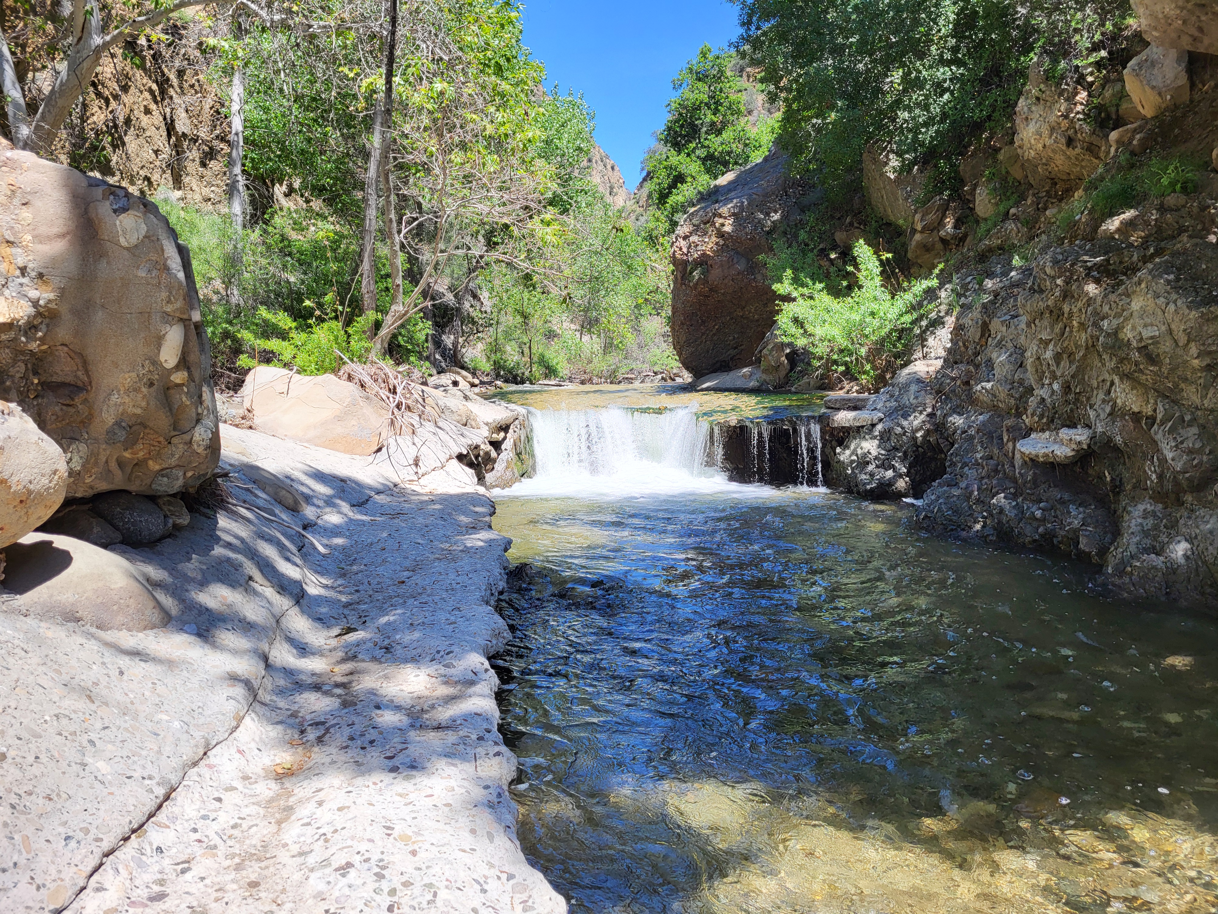
View upstream at the same spot, nice waterfall...in the middle of the road!
Ford west of Cienega CG
I passed the last hiker wading down the concrete road-stream-bed in the narrows, and saw no other people the rest of the day. Above the narrows are a few more crossings before Cienega, which is quite a peaceful flat. The campsite, apparently the only remaining in proximity to the 2 dead outhouses, is located trailside, and within 100m of Fish Creek coming in from the north. It's a lovely campsite!
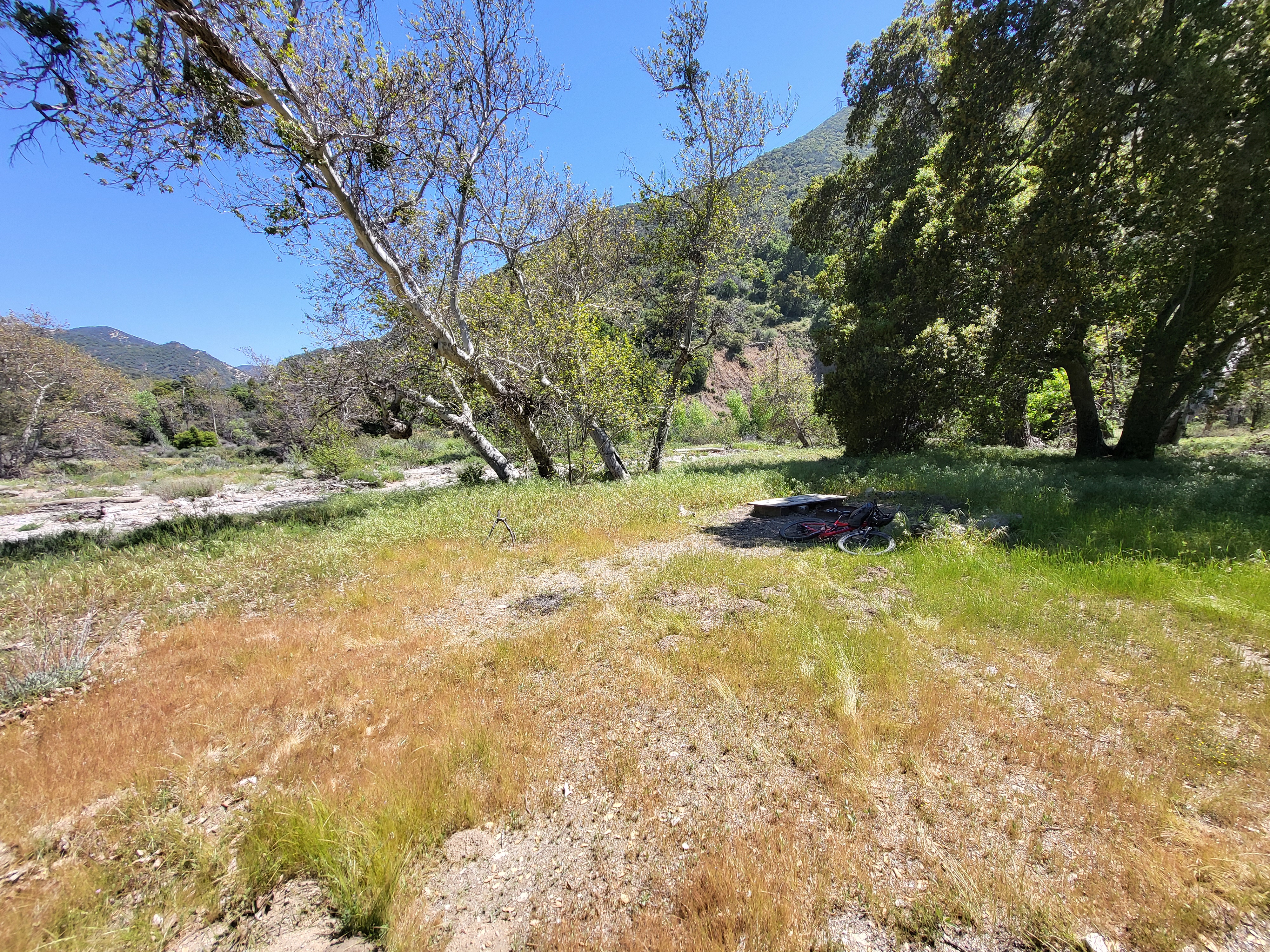
Cienega Campground
Past the camp, the road continues to a junction at Warm Springs Divide. This segment is steep and exposed, but has nice flat sections with some shade and seasonal springs. The mudholes at the springs all had big bear tracks going both ways. From the saddle up to the summit, it is a switchback climb much like San Gabriel roads. If one were blindfolded and dropped there unawares, it might take a while to realize you weren't in Tujunga. Most of the road is in good shape, but there is a big washout with a trail-width remaining, and several crevasse-like ruts.
The ridge top is very pleasant, and has a nice mix of the 3 main conifer branches: jeffrey, juniper, and doug fir. There are some nice bivi sites along this road.
I visited the summit, signed in and took a short break before swerving into the unknown. The Necktie Basin Truck Trail branches southwest below the summit, so I backtracked the short distance and headed...that way...
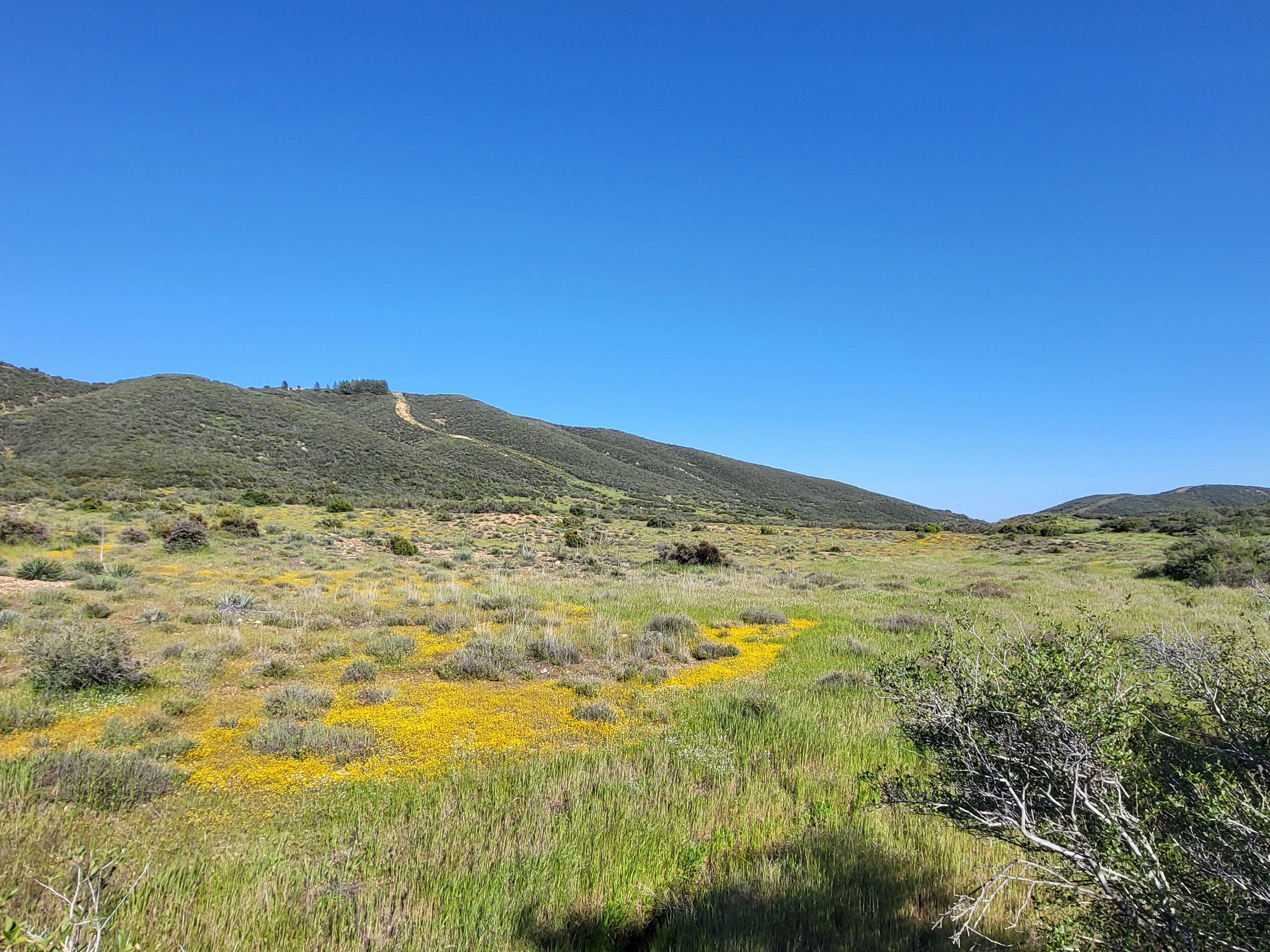
Necktie Basin, looking at Warm Springs Mtn summit
Going was quite nice at first. I saw motorcycle tracks, not too old, which was encouraging. Nearly every bit of road surface was overgrown with flowers as I passed through Necktie Basin. This is an odd flat that appears to have 2 drains. It's high desert, with yucca, sage, grass, lots of flowers. There is a spot with some large cottonwood trees and a spring, but I didn't see any signs of old homestead or corral or such. The road eventually bends back toward the east and climbs to gain a long ridge. More seasonal springs are passed...with more bear tracks.
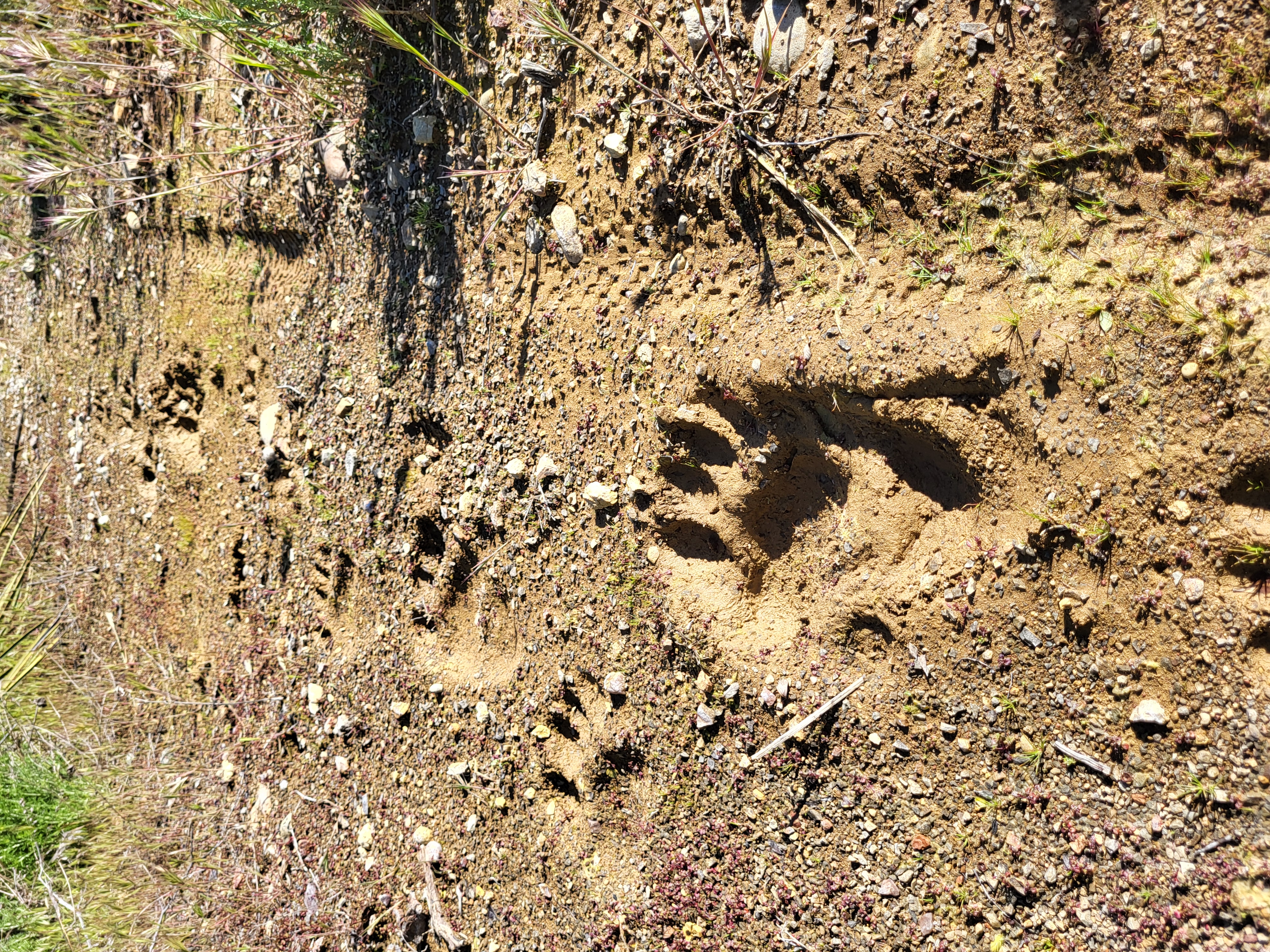
Bear tracks on the ridge route, my tire tracks are ~62mm/2.4in
Things got quite ugly here. Though this is alleged to be a 'trail' it really seems like a simple blade cut with a Cat and a cable rig. Much was unrideable, and I walked down about as much as I rode. Overgrowth hid large ruts, and possible rattlesnakes. Odd that I should pass a 'beached' Toyota Corolla at the halfway mark. How the f#(~ do you get a Corolla here without assistance of a helicopter?!?!? I saw that Corolla on the Goggle Earth satellite image, and I assumed it was somebody parked there at time of filming. Another enticing morsel of dark chocolate to mislead this old fool.
I finally juncted with the northside Castaic Lake Road, passing spur roads to the old picnic areas, now gone feral with beautiful walnut groves. More up and down, more delay, ugh! I had expected to be done a bit earlier. It was nearing sunset, and I still had the last water barrier to pass, the combined flow of the various Castaic forks. This bit of psychological pressure was wrapped in something a little more abstract. I have a deep fear of large man-made waterworks. The road back had me passing the Elderberry Forebay and the huge penstocks on the west side of the canyon. I rode on in the deepening shadows of evening, averting my eyes from that terrible mass of water that isn't supposed to be in this canyon. That place is scary, in a way I can't really relate to others. I hope this doesn't rub off on anyone else, because I don't even like boats much anymore.
Safely past the waterworks, I managed to wade the final stream ford without mishap, disturbing a bathing duck as I approached. Empty trailhead, less a feeling of satisfaction and more that of survival. This was about the closest I get to Type II Fun these days.
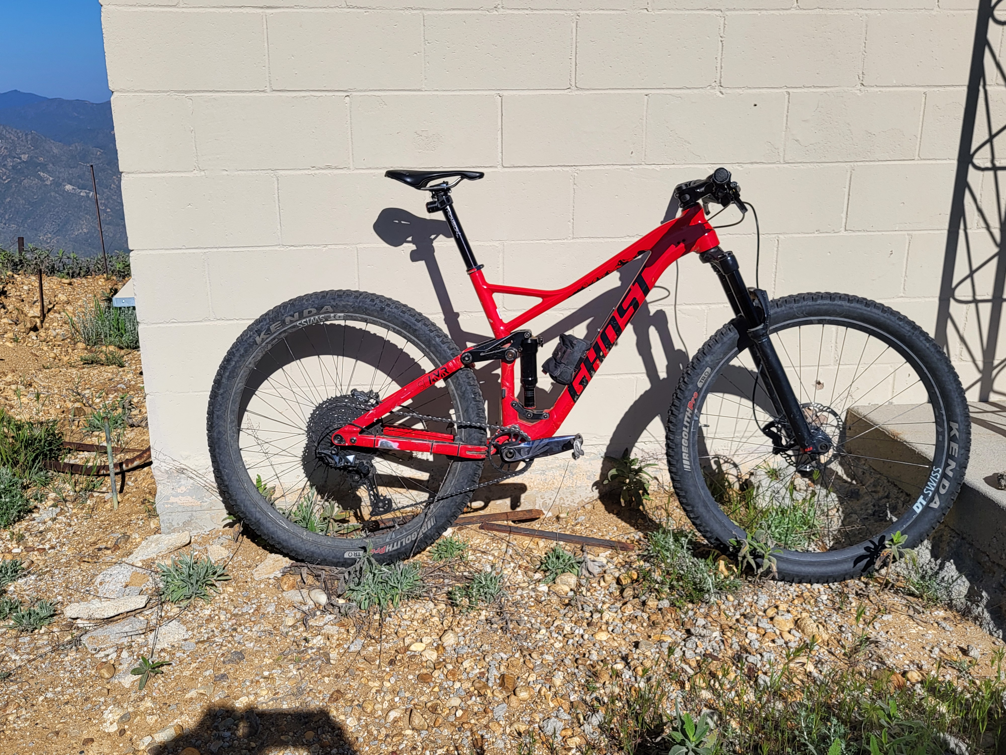
For the bike-curious, here's my current mule, 'Gerhard Berger' of Ferarri F1/86 fame. It's an odd duck, focus is on durability and minimal mechanical issues. Also, Ghost is a German brand, Berger was an Austrian. Don't care, it's my fantasy.