Mt. Whitney day hike 7/25/2013

Archived TRs for Sierra Nevada ranges.
Post Reply
User avatar
tekewin
Posts: 1189
Joined: Thu Apr 11, 2013 5:07 pm

Post by tekewin »

We got on the trail at 3:30 AM in complete darkness. There were several stream crossings early, one over logs. All the streams and lakes were high due to heavy rain early in the week. The forecast for hike day was a 30% chance of thunderstorms, and ominous clouds hovered throughout the day. The clouds broke and returned several times, but it never rained and lightning was never a danger.

At the top of the switchbacks is Trail Crest at 13600' where more of the large lakes come into view. The trail continues north along the east side of the ridge behind Muir Peak, the needles, and finally Mt. Whitney. Although the gain is only about 900' from Trail Crest to the summit, I think this is the most difficult two miles of the trail, far more so than the switchbacks. The trail gets more rough, there are many dangerous drops on the left side, but mostly because it is all done above 13600'. For many people, altitude sickness bites here. Most in our group had some symptoms of AMS. I had a headache that started at Trail Crest and didn't go away until I got back to 12000'. Lesson learned on getting acclimated. Everything about the Sierras is Big. Your typical Whitney day hike.

Full report:
http://ironhiker.blogspot.com/2013/07/m ... -hike.html

Image
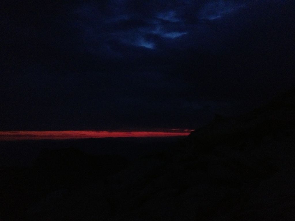
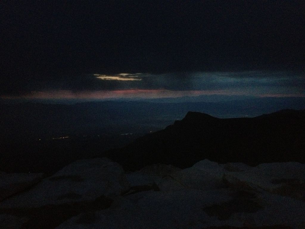
Sunrise on the Whitney trail

Image
Trail Side Meadows

Image
Whitney obscured by clouds from Trail Camp

Image
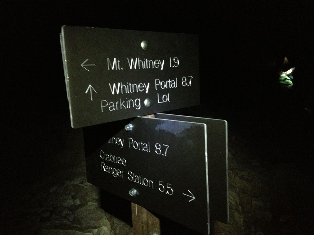
The trail goes left here at Trail Crest

Image
Hikers on the trail past Trail Crest

Image
Whitney and needles come into view

Image
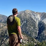
Rod in front of the needles

Image
Me standing on top of the lower 48

Image
Wales Lake from the summit

Image
Summit marmot!
User avatar
Uncle Rico
Posts: 1386
Joined: Thu Mar 20, 2008 7:48 pm

Post by Uncle Rico »

Nice TR teke. Agree that the section from the crest to the summit is the most difficult part of that trail. When I went up, I saw some hikers along that stretch that I discovered didn't exist. LOL. Hope you got down to the Portal in time for burgers and beers.
User avatar
tekewin
Posts: 1189
Joined: Thu Apr 11, 2013 5:07 pm

Post by tekewin »

Rico,
One of our group twisted a knee just below Trail Camp. We crawled of the mountain at 1 mph and got back well after dark and the portal store was closed. I'm trying to forget about the descent. ;)
User avatar
JeffH
Posts: 1151
Joined: Sun Nov 28, 2010 7:09 am

Post by JeffH »

I was at Whitney summit on Friday morning, started snowing around 0830, steady rain from Trail Camp to Portal. My route was from the west, ending a four-day excursion from Onion Valley.
Love Trailside Meadow.
"Argue for your limitations and sure enough they're yours".
Donald Shimoda
User avatar
Beantown
Posts: 45
Joined: Wed Mar 21, 2012 9:06 am

Post by Beantown »

I completed the JMT on 7.22.13.

intense thunderstorms the night before at guitar lake. left for the summit at 3:00am from guitar lake and was on top at 5:30am. was not the sunrise I was hoping for, still a little stormy and some snow. crazy! only stayed 2 minutes.

Image
Image
Image
Image
User avatar
mcphersonm80
Posts: 243
Joined: Mon Aug 23, 2010 11:46 am

Post by mcphersonm80 »

Cool pics and congrats! :)
User avatar
tpfishnfool
Posts: 62
Joined: Sun Feb 20, 2011 10:50 am

Post by tpfishnfool »

tekewin wrote: Rico,
One of our group twisted a knee just below Trail Camp. We crawled of the mountain at 1 mph and got back well after dark and the portal store was closed. I'm trying to forget about the descent. ;)
No doubt, the desent is more taxing than the assent IMO. We too missed the burgers and beer at the store as we were late getting down... Hasd to settle for mc donalds !! Sucked....
User avatar
tekewin
Posts: 1189
Joined: Thu Apr 11, 2013 5:07 pm

Post by tekewin »

Congrats beantown on the JMT.
Congrats Jeffh on the 4 day + summit.
Weather is always a big variable.
User avatar
HikeItOrLoseIt
Posts: 13
Joined: Fri Aug 02, 2013 2:47 pm

Post by HikeItOrLoseIt »

Excellent job at getting that summit...looks like, now that you have tackled the highest in the lower 48, it is time to start training for the highest in the 50 :twisted:
User avatar
HikeItOrLoseIt
Posts: 13
Joined: Fri Aug 02, 2013 2:47 pm

Post by HikeItOrLoseIt »

hey beantown...i probably just missed you on the jmt...i was heading north with my big straw hat doing 20's nobo to finish my section hike of the pct from the border to mammoth on the 29th... I got off at kearsarge the 20th and got back on the 22nd...did you just catch that T-storms at guitar lake? I was running up and over passes at noon to beat the lightning every day...it was unnerving to say the least
Post Reply