The marker is missing from Sunset Peak now, I walked up there today. Also gone is the rock pile that housed a summit register with an Eispiraten sticker. Looks like the rocks were moved to create a 8-inch tall windbreak for a tent a few yards to the west of the summit.
This was December 2015
As of today. Quite a few areas were smoothed over as if they had been dug recently.
"Argue for your limitations and sure enough they're yours".
Donald Shimoda
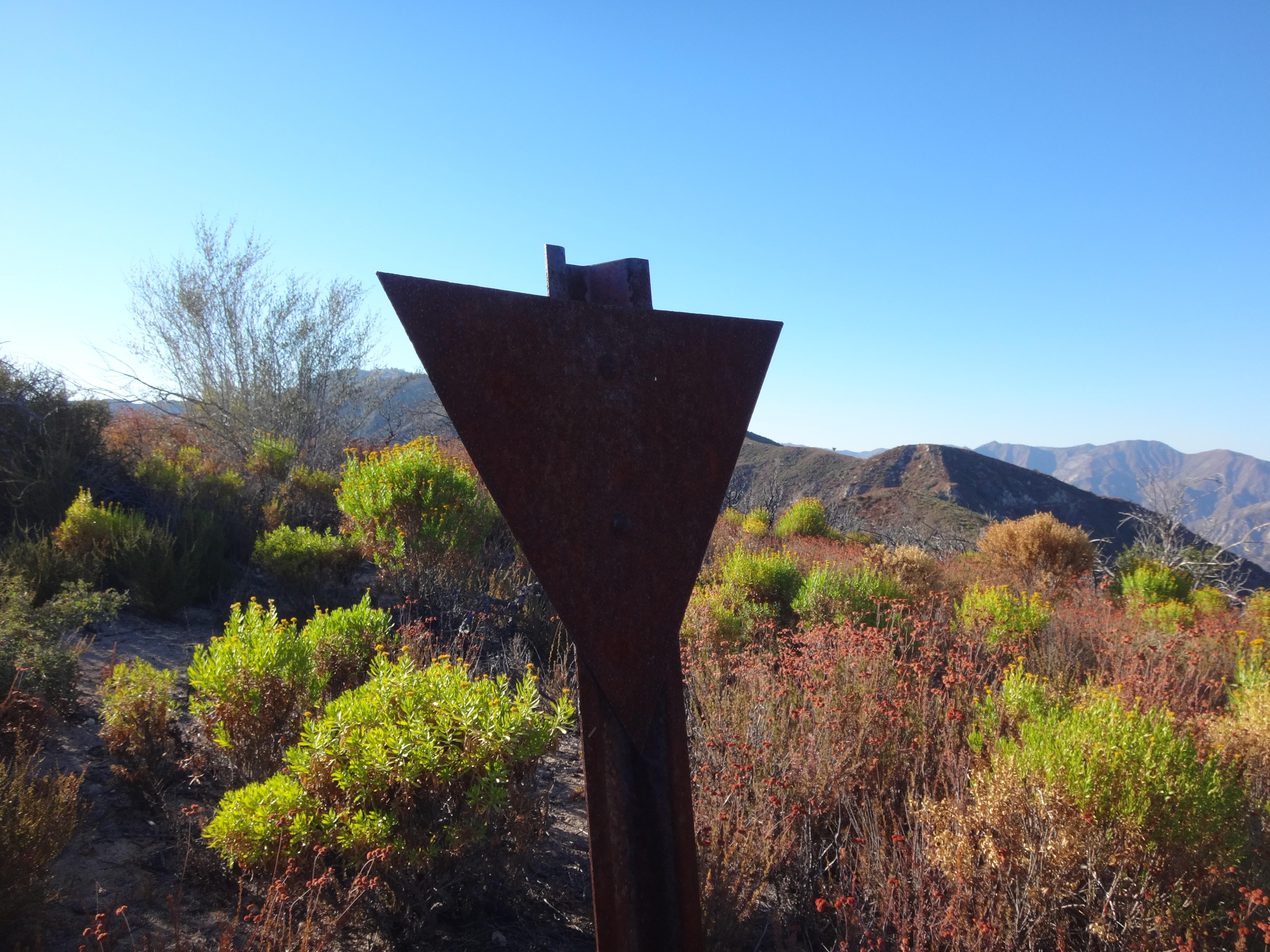
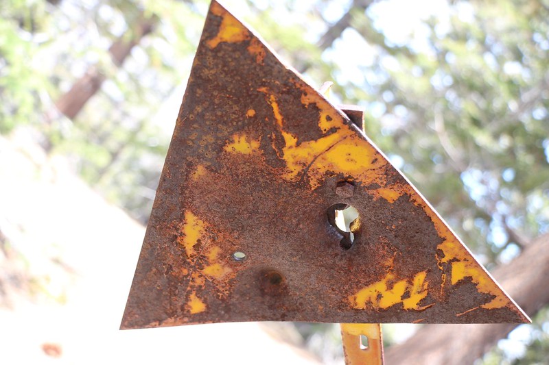
For the record, here is the marker I found and uprighted on Triple Divide (6760') above the junction of Pacifico Mtn. Rd. and Round Top Truck Rd. The triangular headpiece was shot up and lacked identifiers.
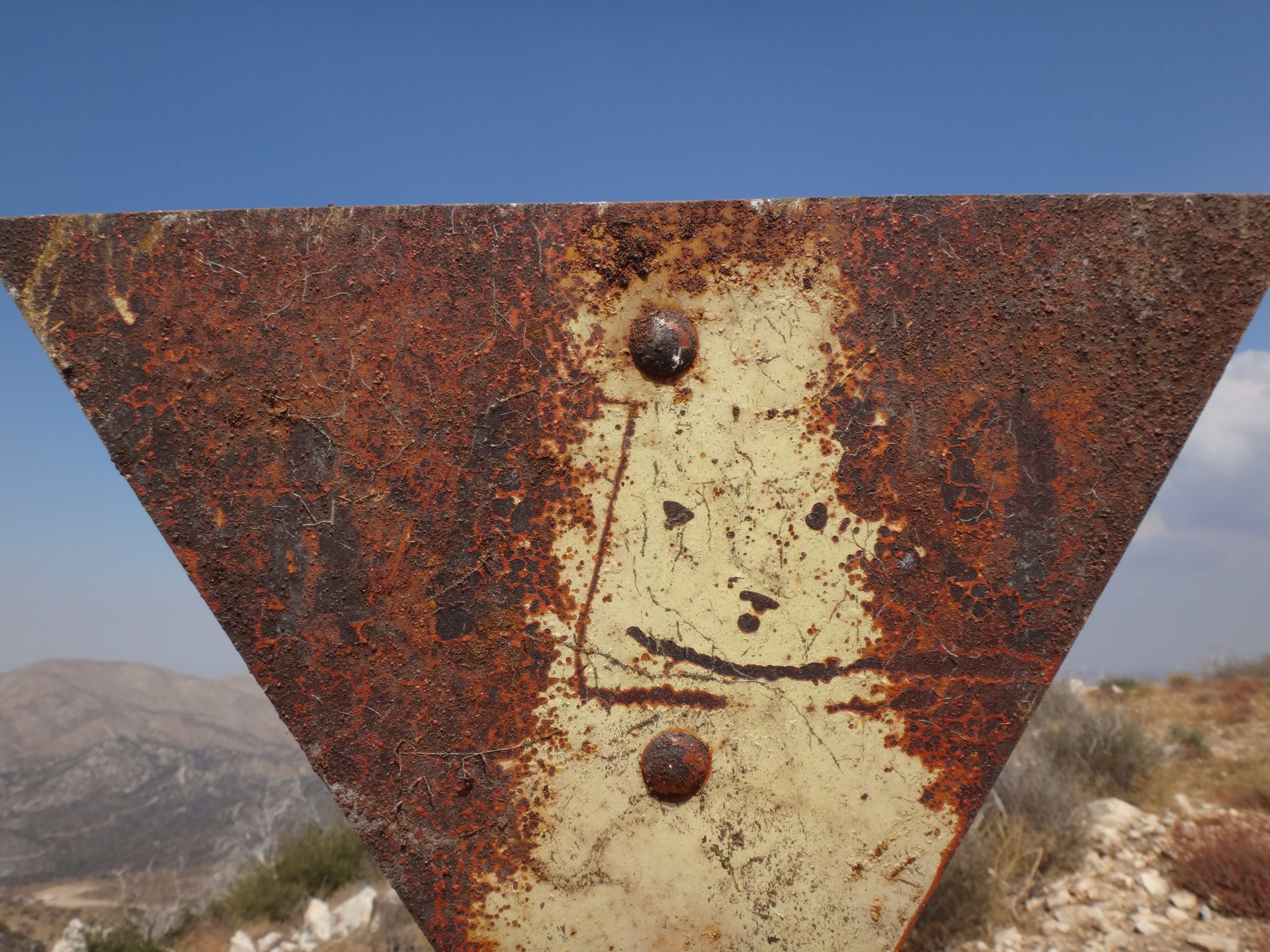
Two more. First the less-interesting one. This isn't in the San Gabriels, but close-enough. On Juncal-Murietta Road, just above the Jameson reservoir. This is over Thanksgiving, so the whole area has burned down since then. Note the thick, flammable brush cover. In any case, PFC3 and PW4:
The more interesting one is just South of point 6138, just off the main trail to Iron Mt. W17:
There's a double triangle on the summit of San Gabriel Peak. I didn't take a pic because I thought it was already on the list. But I didn't see it on a quick scan of this thread so I'm adding it to the list. Sorry if its a dupe.
Buy one get one free: start of ridge near the San Gabriel Dam road entrance.
The main letters are obscured by fire damage, but I think the top one says "S 15" with a small "ST2" stamped into the base corner. And the bottom sign says "ST 2" with "S34" stamped into its base.
Wait, really? I've been on the Wright mtn summit ~ 5 years ago, and this wasn't there. Were we at the wrong place? I recall the summit being poorly-defined.
dima wrote:
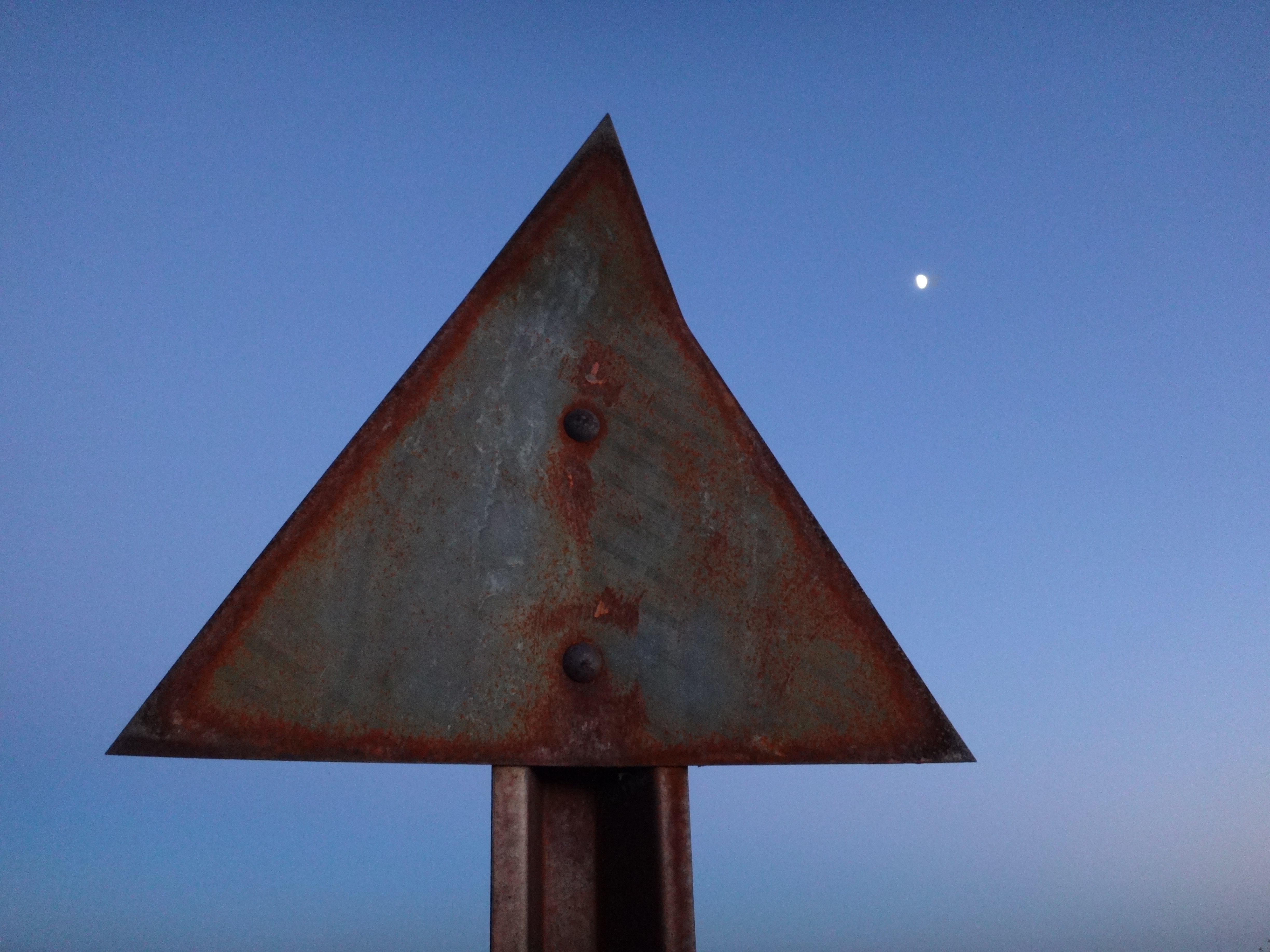
Some peaks in the San Gabriels have metal signs on them with some sort of code written on an inverted triangle, like this W15 on top of Iron Mountain:
There's a W5 on top of Lookout Mountain, and I've seen a number of others I can't recall right now. Does anybody know what those signify? Is there a list?
Lookout is awesome! Had a lot of fun on that hike.
dima wrote:
Wait, really? I've been on the Wright mtn summit ~ 5 years ago, and this wasn't there. Were we at the wrong place? I recall the summit being poorly-defined.
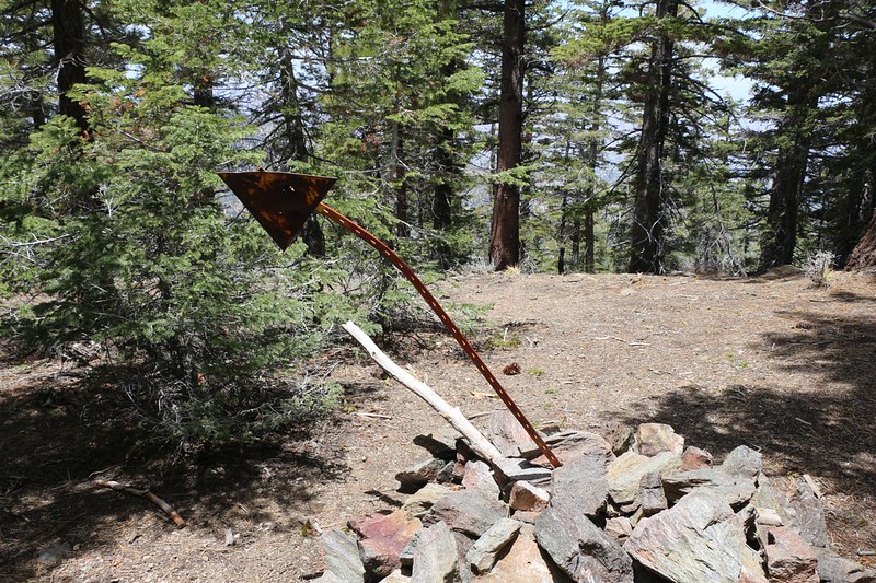
July 2014 there was only a rock pile, and I found pieces of the torn register on the south ridge. March 2016 the metal post had appeared in the rock pile. The summit is broad and flat. Go to the east side to find the rock pile among trees.
dima wrote:
Wait, really? I've been on the Wright mtn summit ~ 5 years ago, and this wasn't there. Were we at the wrong place? I recall the summit being poorly-defined.
July 2014 there was only a rock pile, and I found pieces of the torn register on the south ridge. March 2016 the metal post had appeared in the rock pile. The summit is broad and flat. Go to the east side to find the rock pile among trees.
I was on Wright last summer and I don't recall seeing a triangle at the rock pile.
On a related note: Wright was one of the most uninteresting summits I've ever been on. Great views on the way up and down though...