

Willie had never been to Sequoia and trusted me to navigate us on the journey. For some time I had been curious about the South Fork of Kaweah River, so that's where I drove us, thinking we might score a campsite in the remote South Fork campground on a busy Labor Day weekend. Sure enough, we did find a spot, a mosquito-rich environment a few dozen yards away from the river.
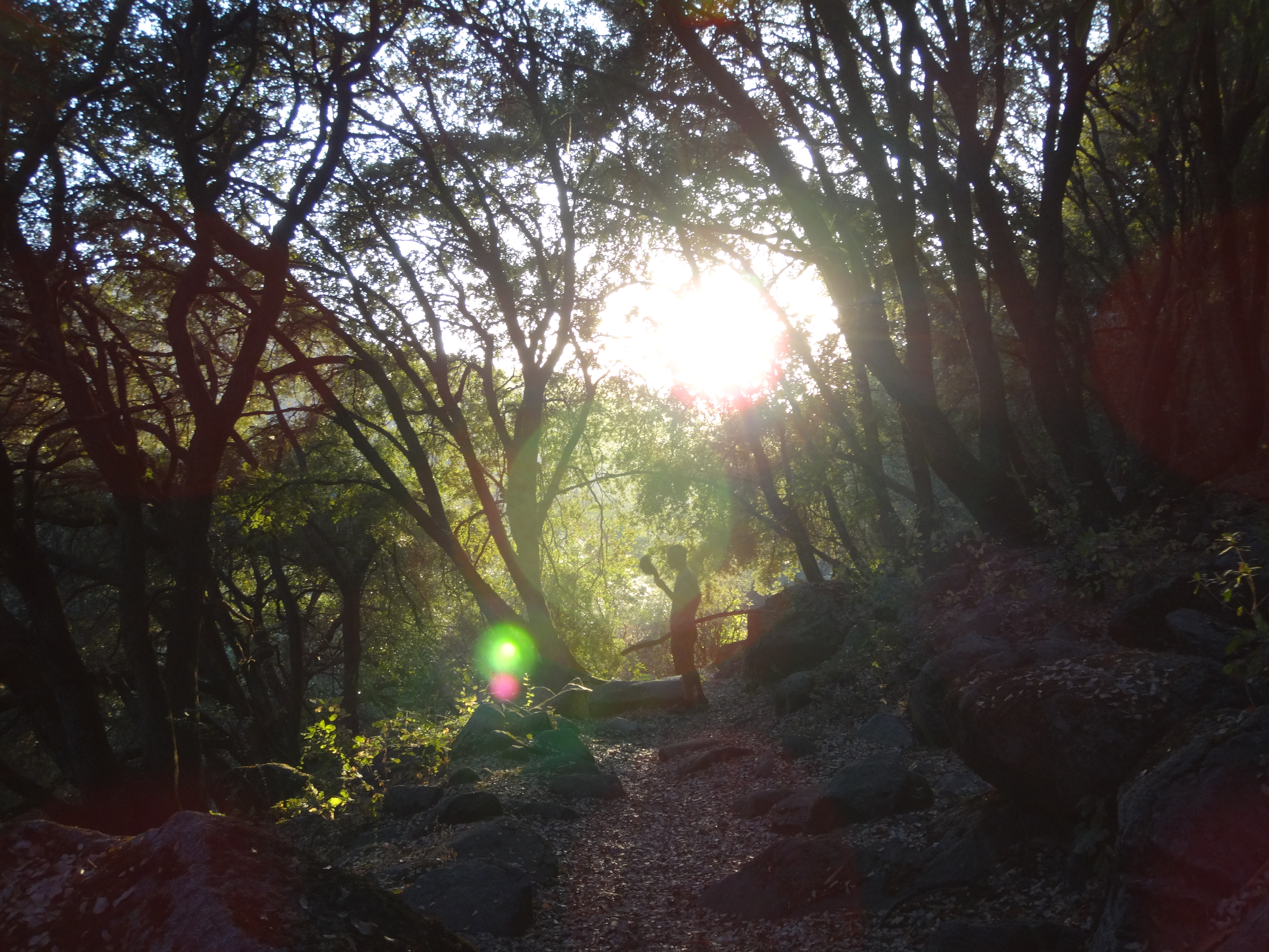
We set up our tents and then strolled along the Ladybug Trail. I was fully geared up with head net, long sleeves, and bug repellent. Willie spent much time swatting insects with his ball cap.
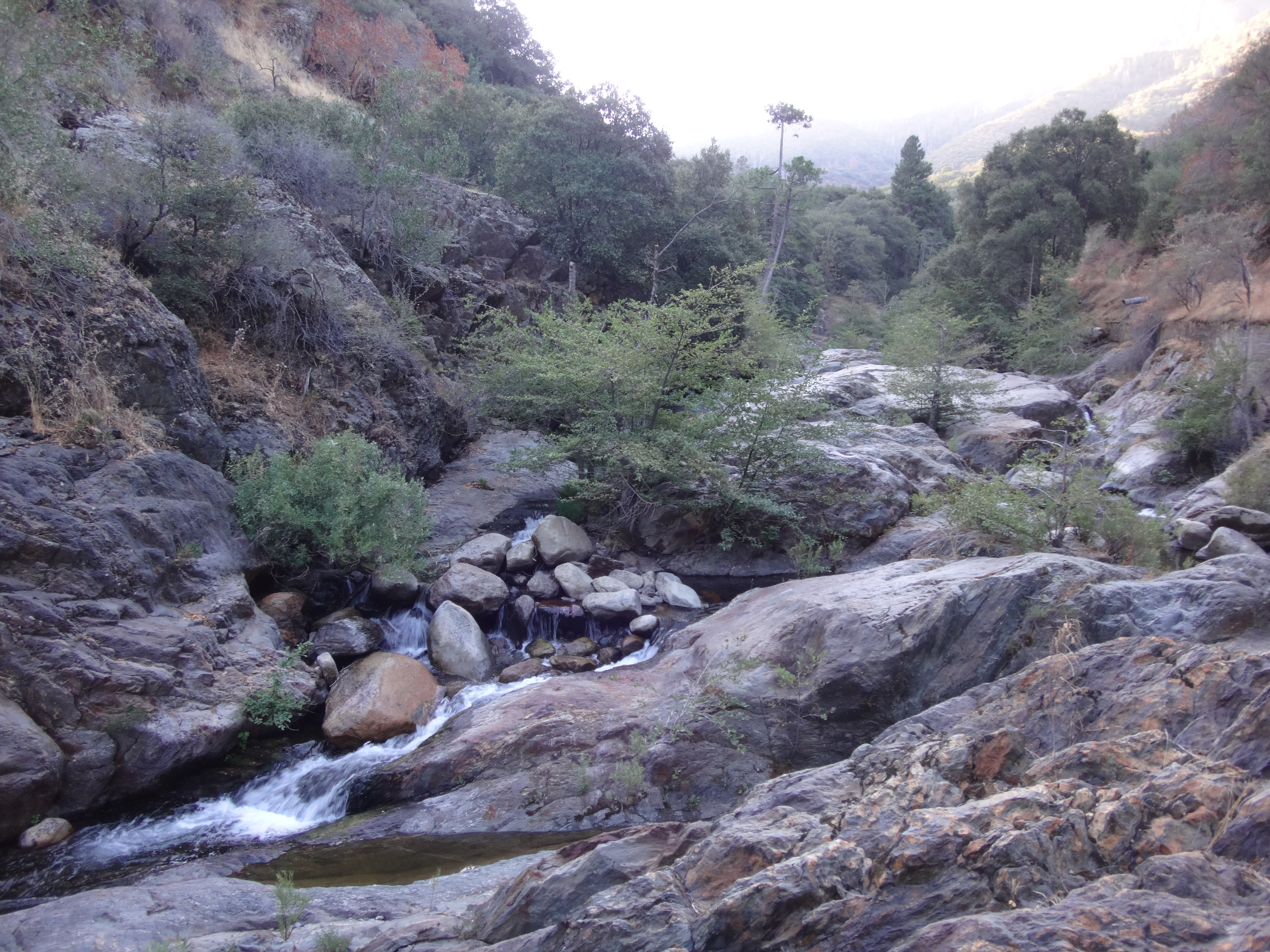
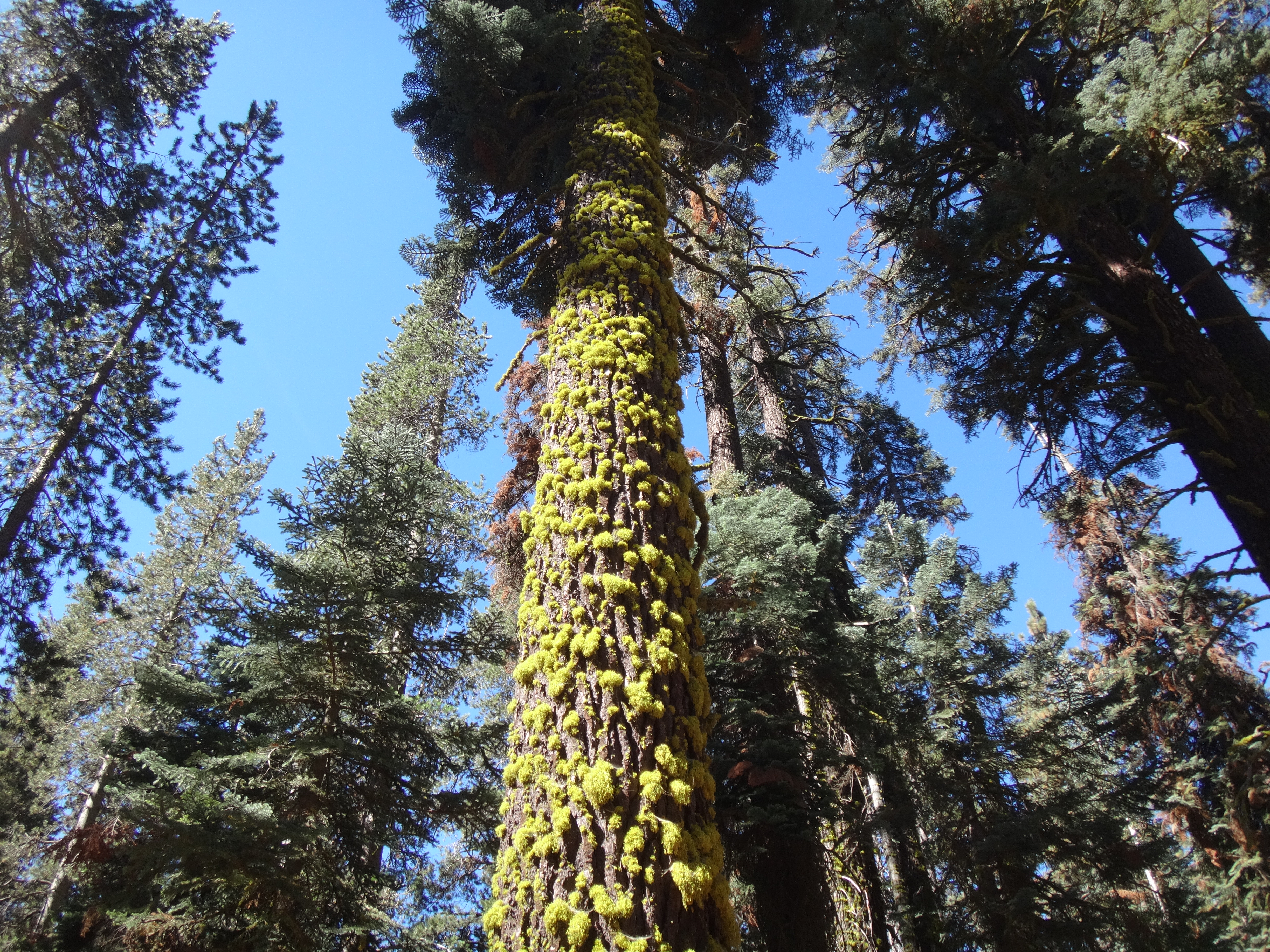
The trail took us along the north bank of the river. We enjoyed some up-canyon scenery,
and scouted a route to Homers Nose.
Our other option was Dennison Mountain. But after some careful consideration, it was concluded that we were not prepared for either Homers Nose or Dennison. Too much cross-country. Too much poison oak. Too many mosquitoes. And too little health.
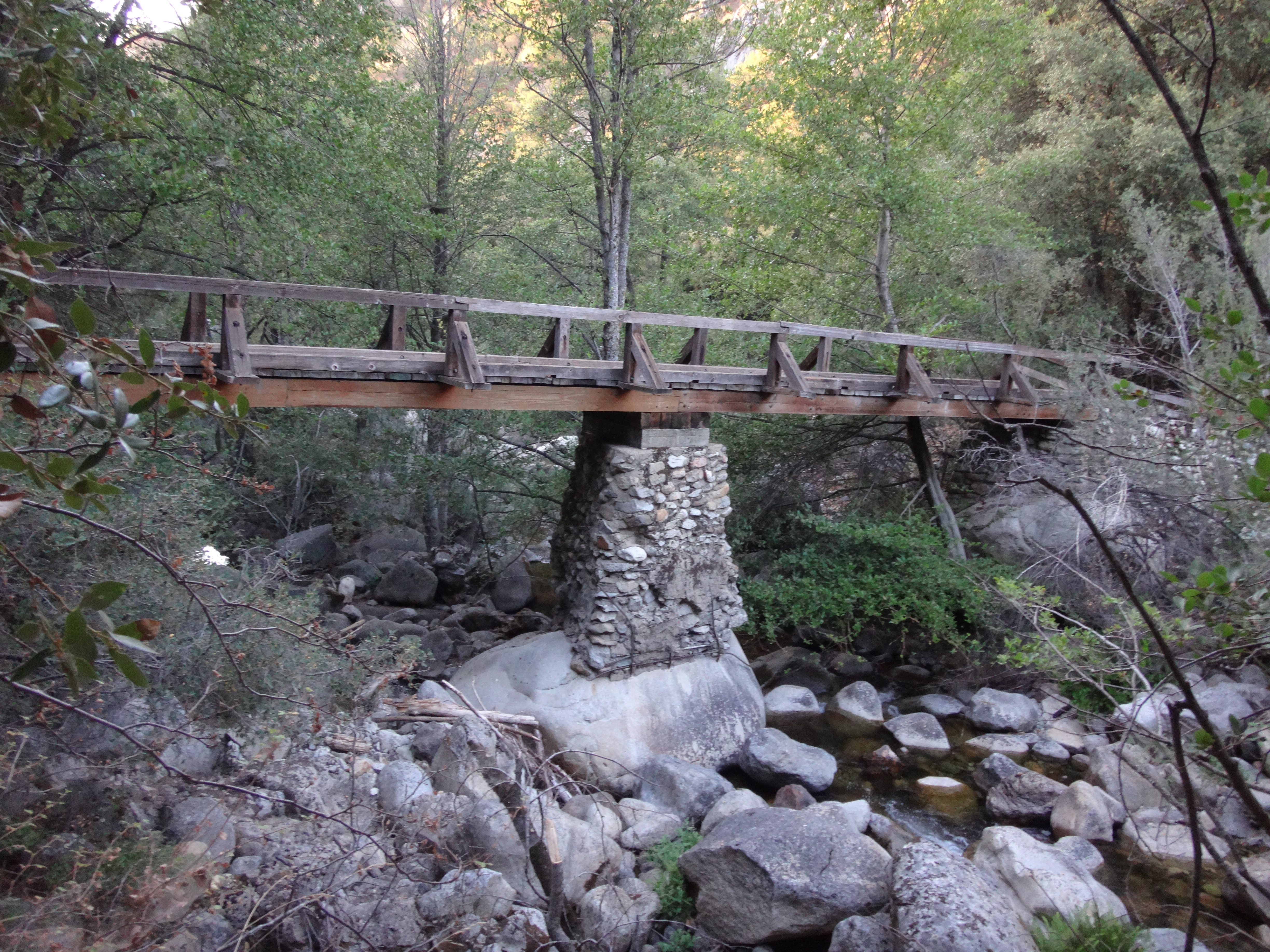
We recrossed the river,
and returned to camp. I evaded the bugs in my tent while Willie made some dinner. After sunset it got cold, and the blood-suckers finally disappeared. We started a fire with some branches collected earlier along the trail. I drank a few beers, and Willie enjoyed his new black jacket. By now the campground was almost at capacity. Everyone had a fire going. The air was full of jolly chatter until about midnight.
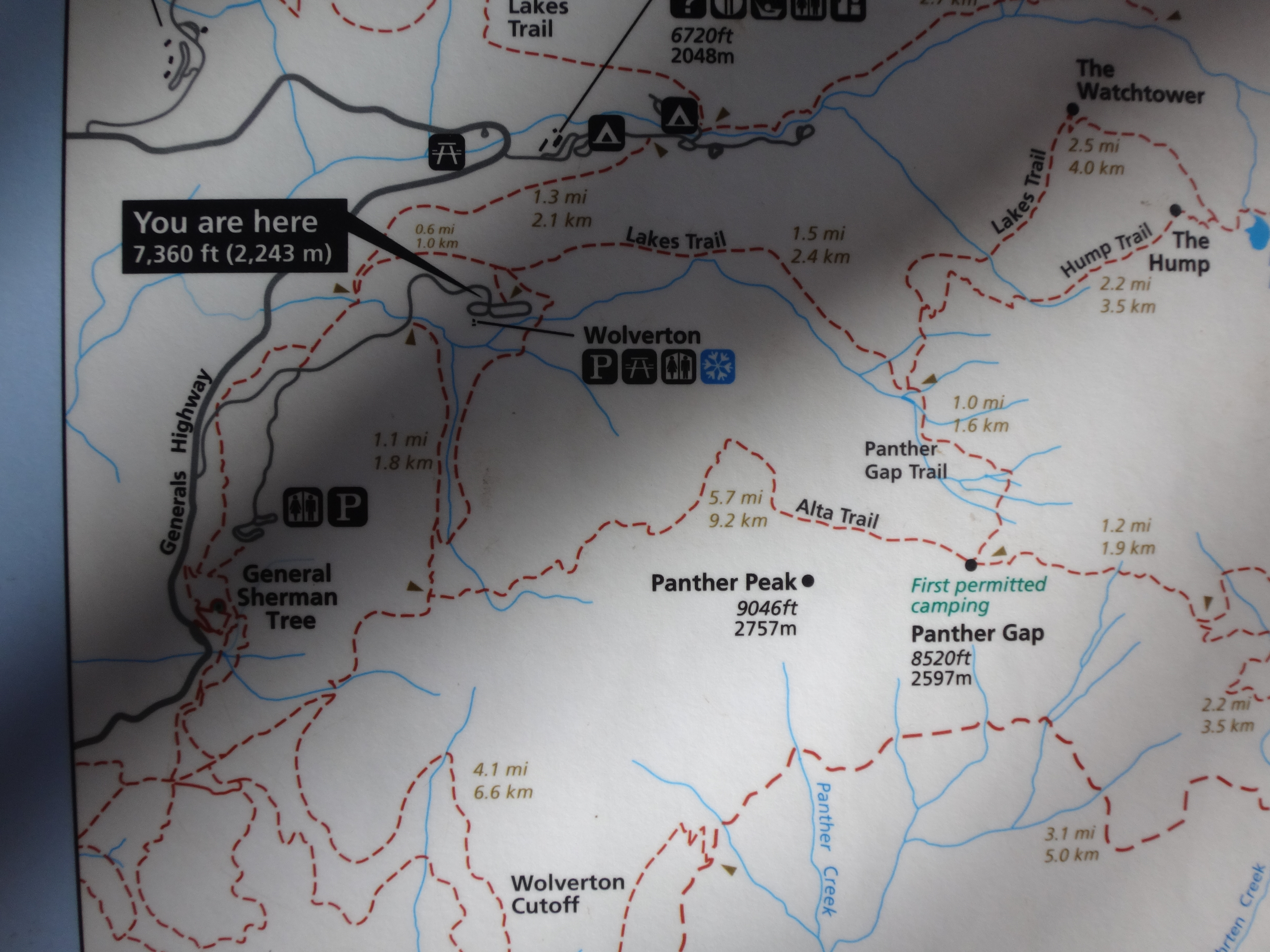
In the morning, Willie and I packed up and drove out of the South Fork. At the Foothills Visitor Center, we spoke with a ranger about hiking to Panther Peak. Willie bought a detailed trail map, and at last we had a specific landmark to reach. One more appropriate for our current conditioning and abilities.
The drive on Sequoia's Generals Highway took about an hour. But the sights kept us entertained.
(Moro Rock)

(Giant Forest)
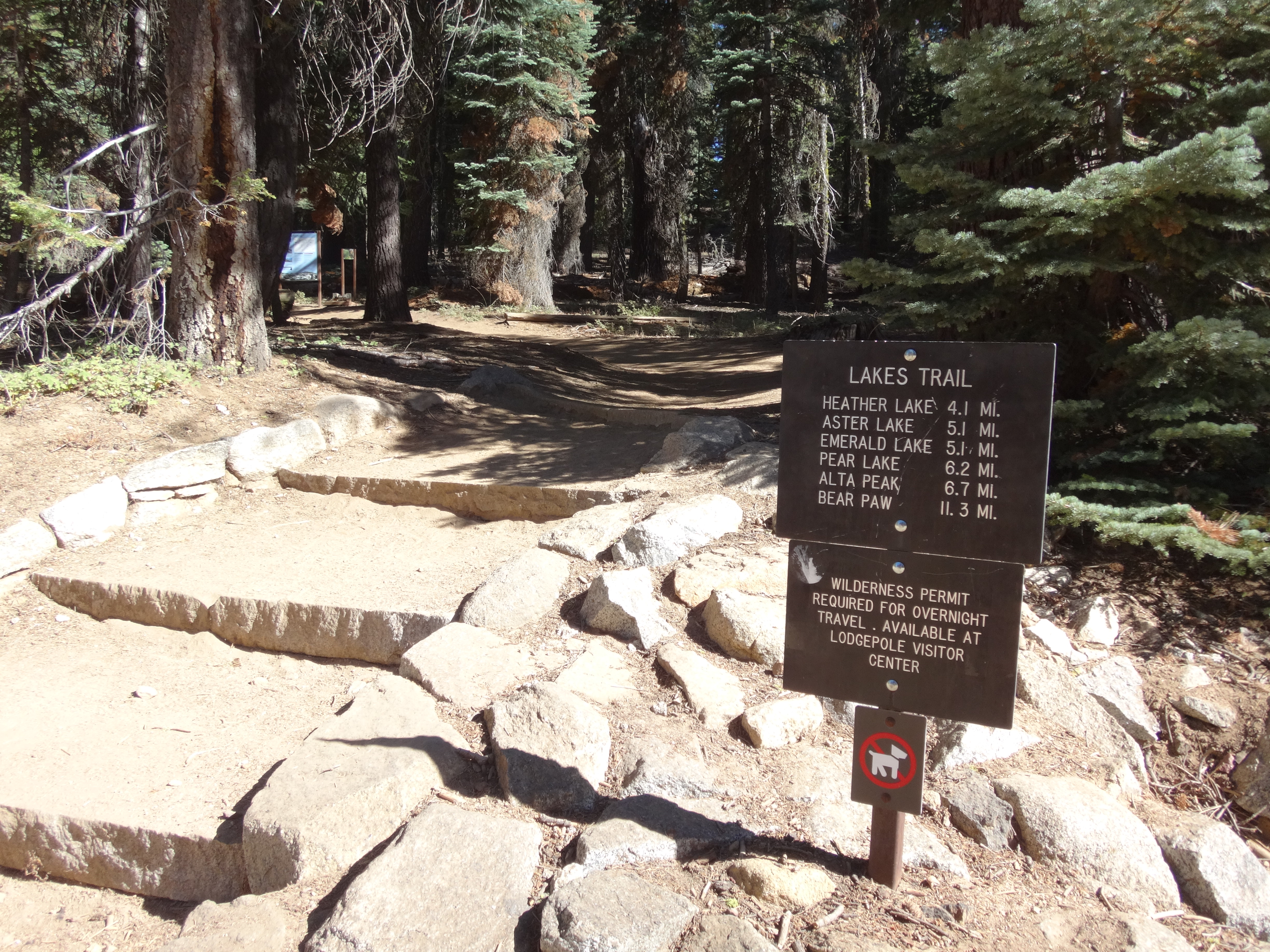
We reached the Wolverton area and parked in the large, half-empty lot. After some prep we started on the Lakes Trail.
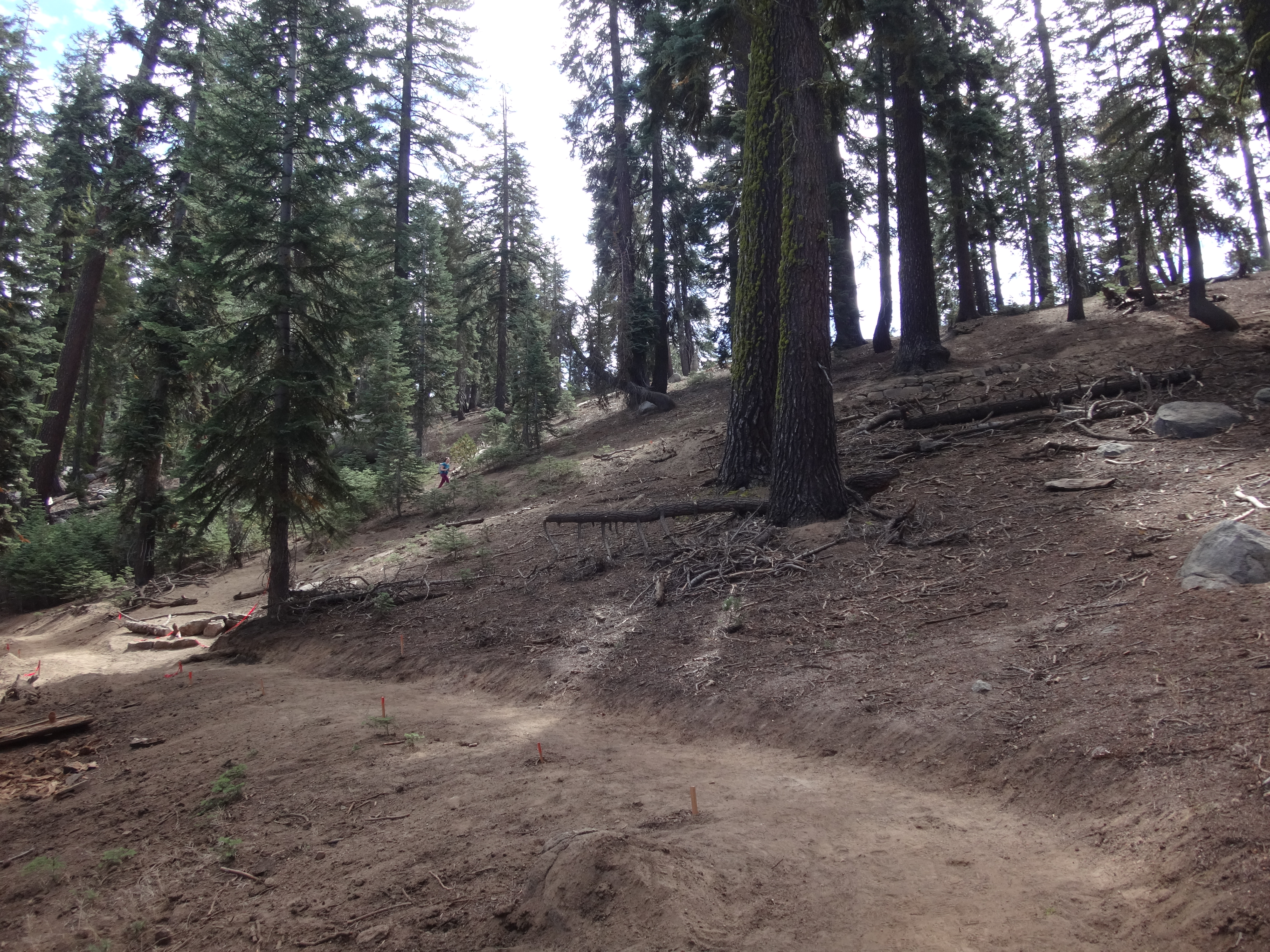
The trail gently passed through the beautiful forest and crossed small streams that merge and run down to Marble Fork of the Kaweah. Then we ascended more steeply up to Panther Gap, where the trail is being rerouted and graded for switchbacks.
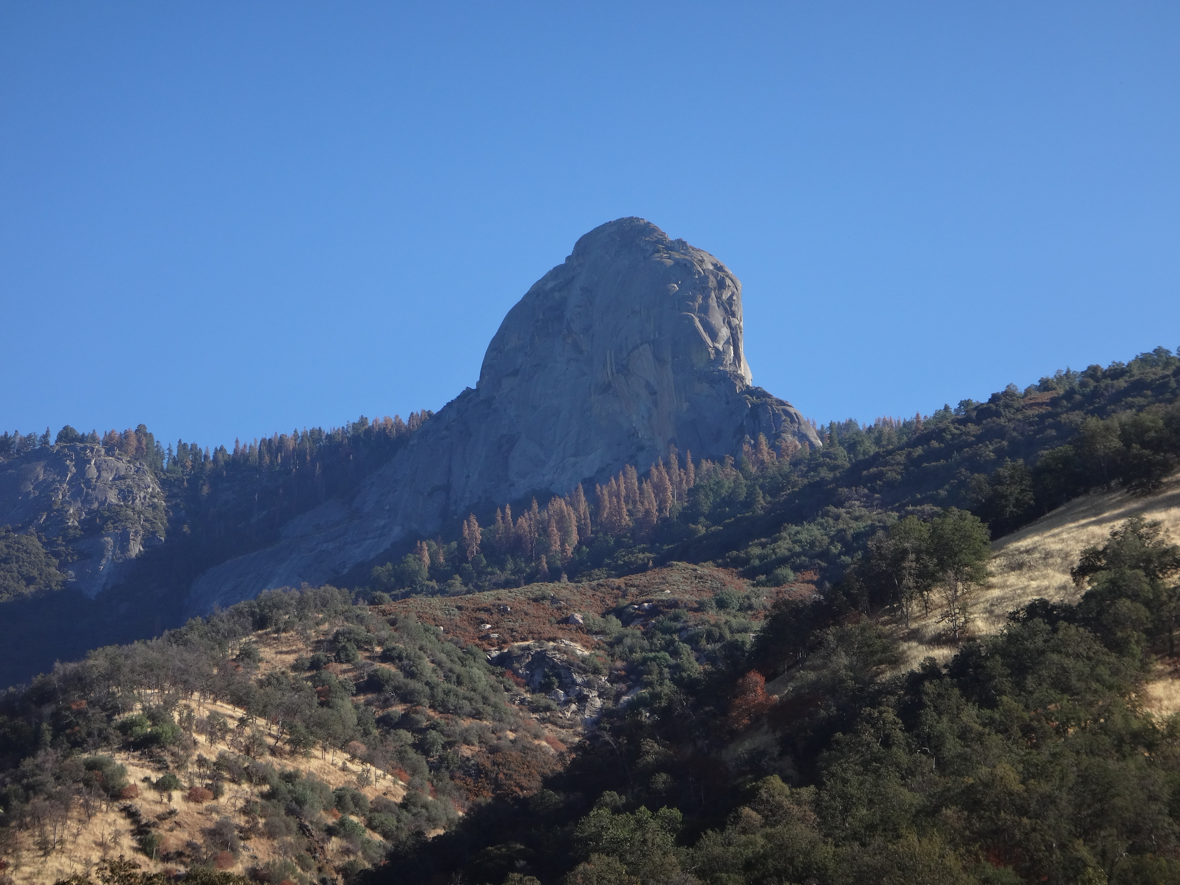
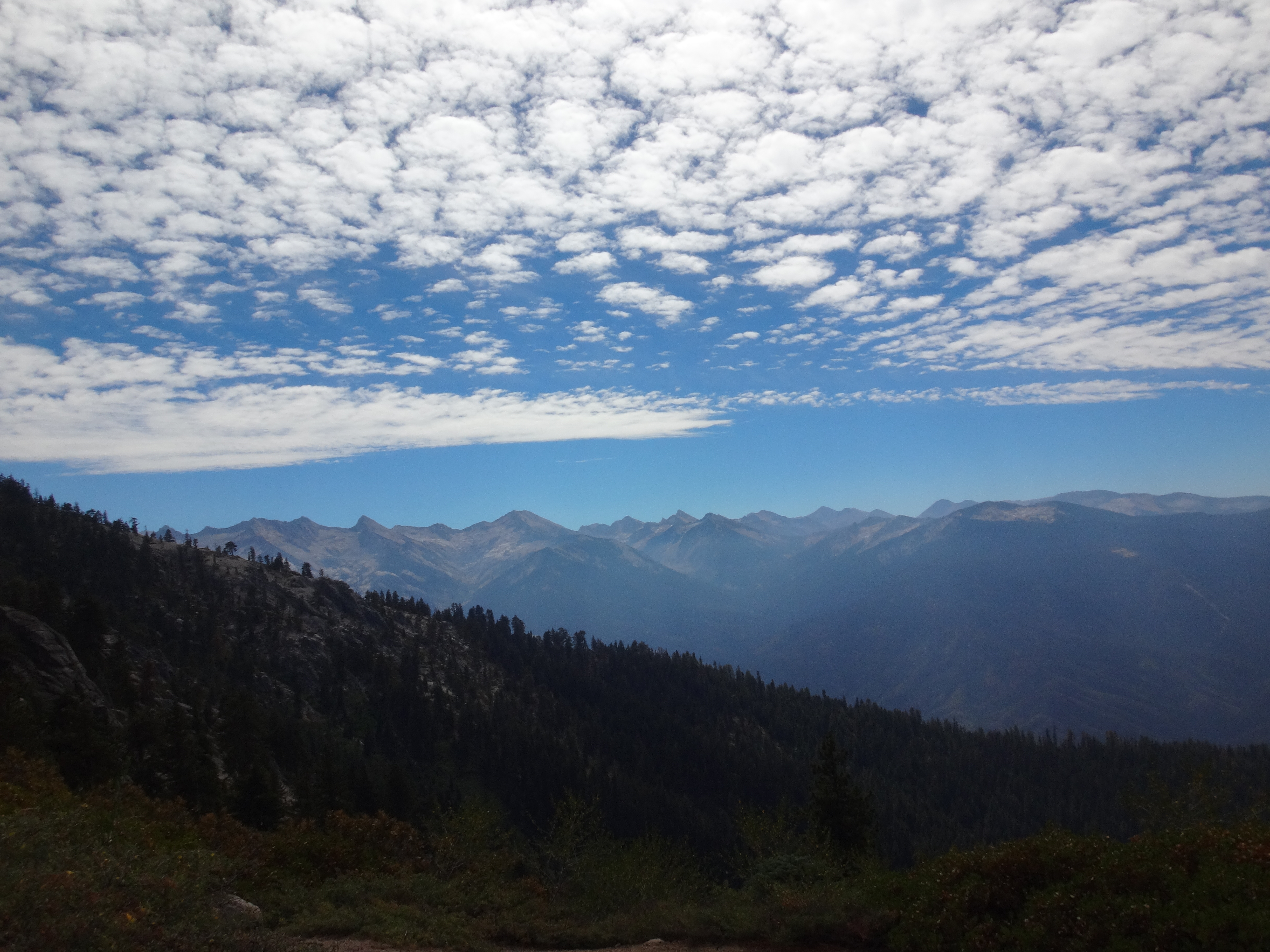
At the Gap the views amazed us.
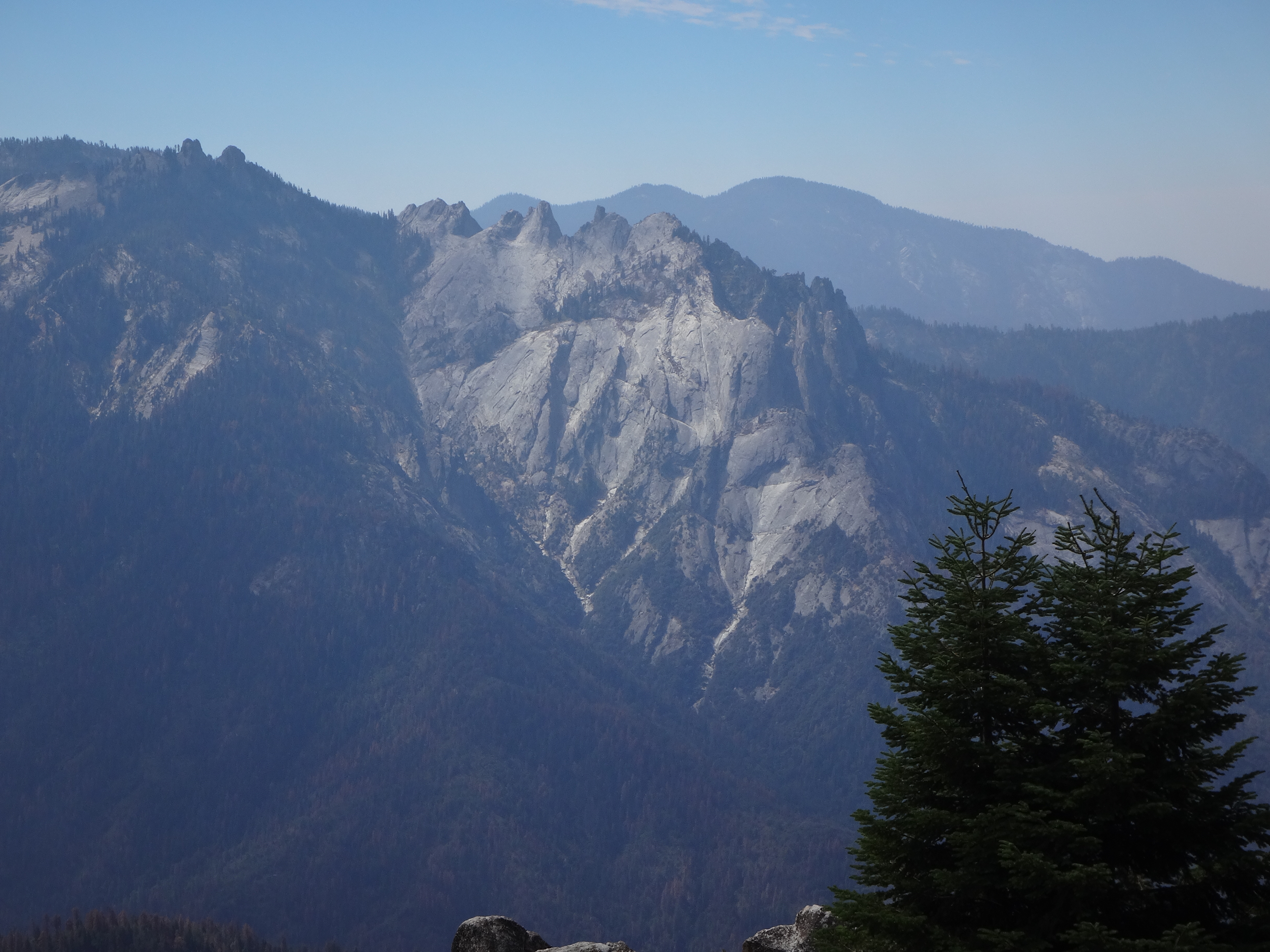
(Castle Rocks)
(Eastern sky)
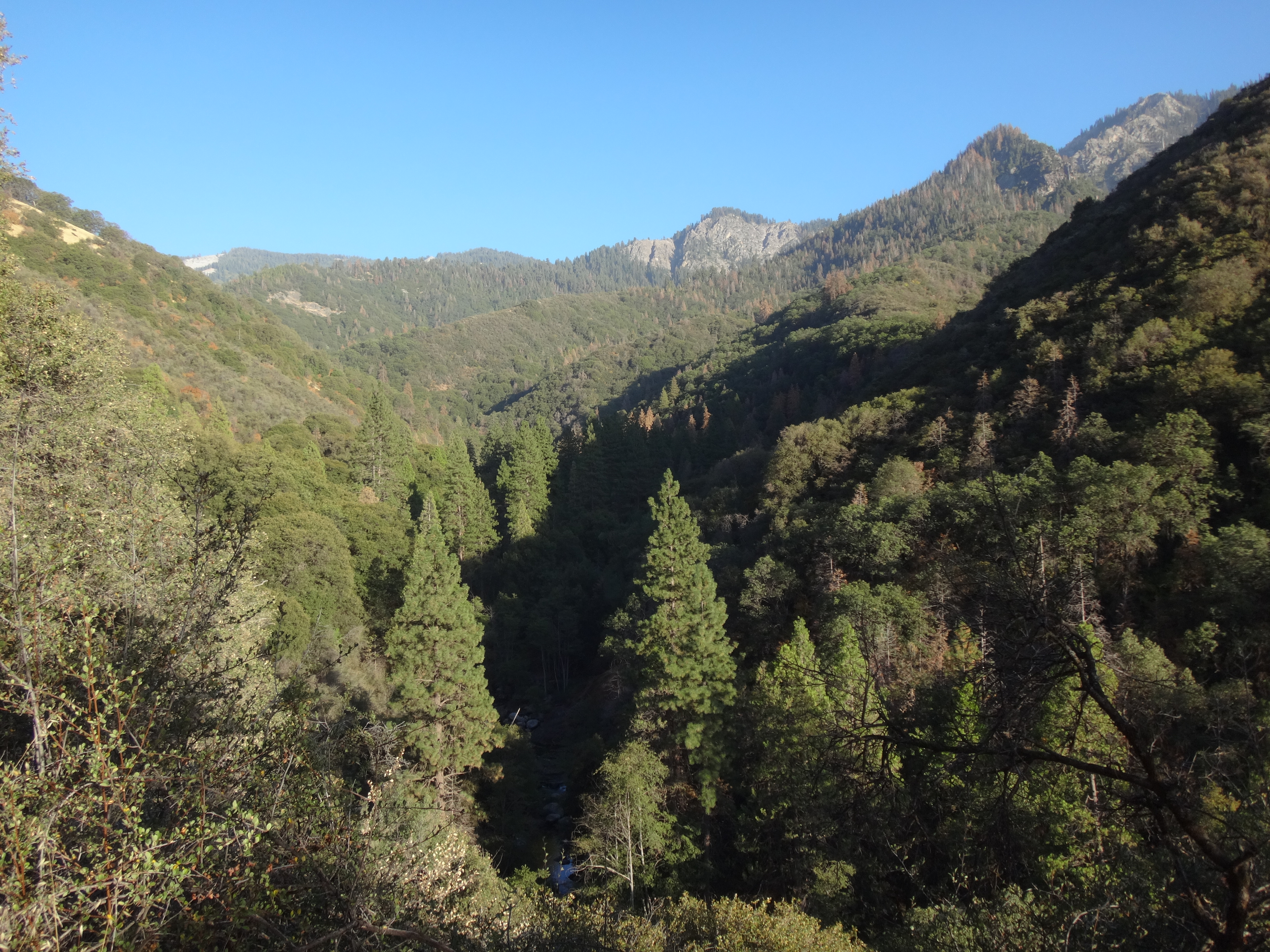
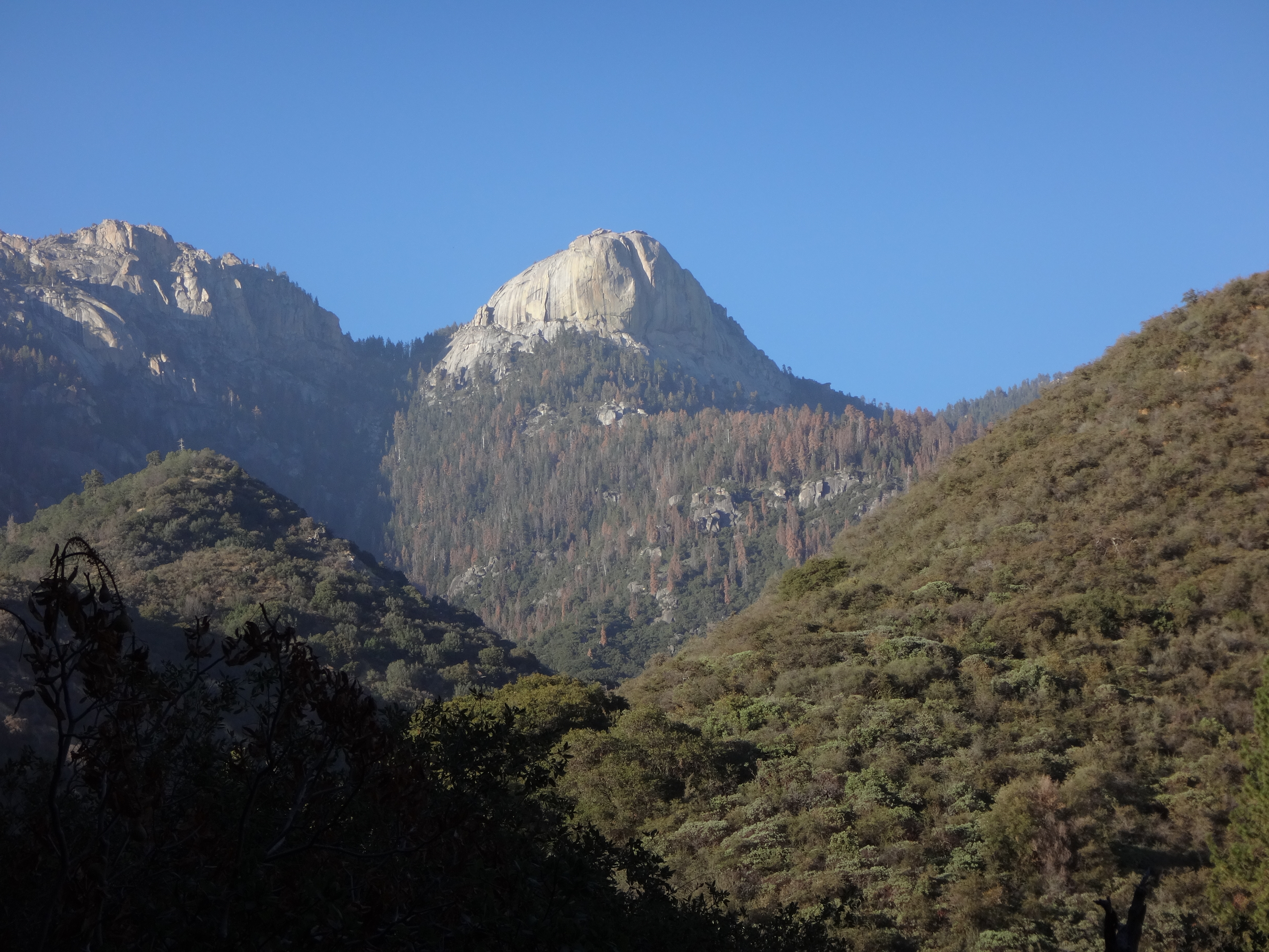
The deep expanse of the Middle Fork Kaweah valley stretched out before us. And the jagged peaks to the east cut up the scattered clouds. Directly across the canyon, Castle Rocks looked spectacular and every bit as difficult to reach as reported by the few who go there.
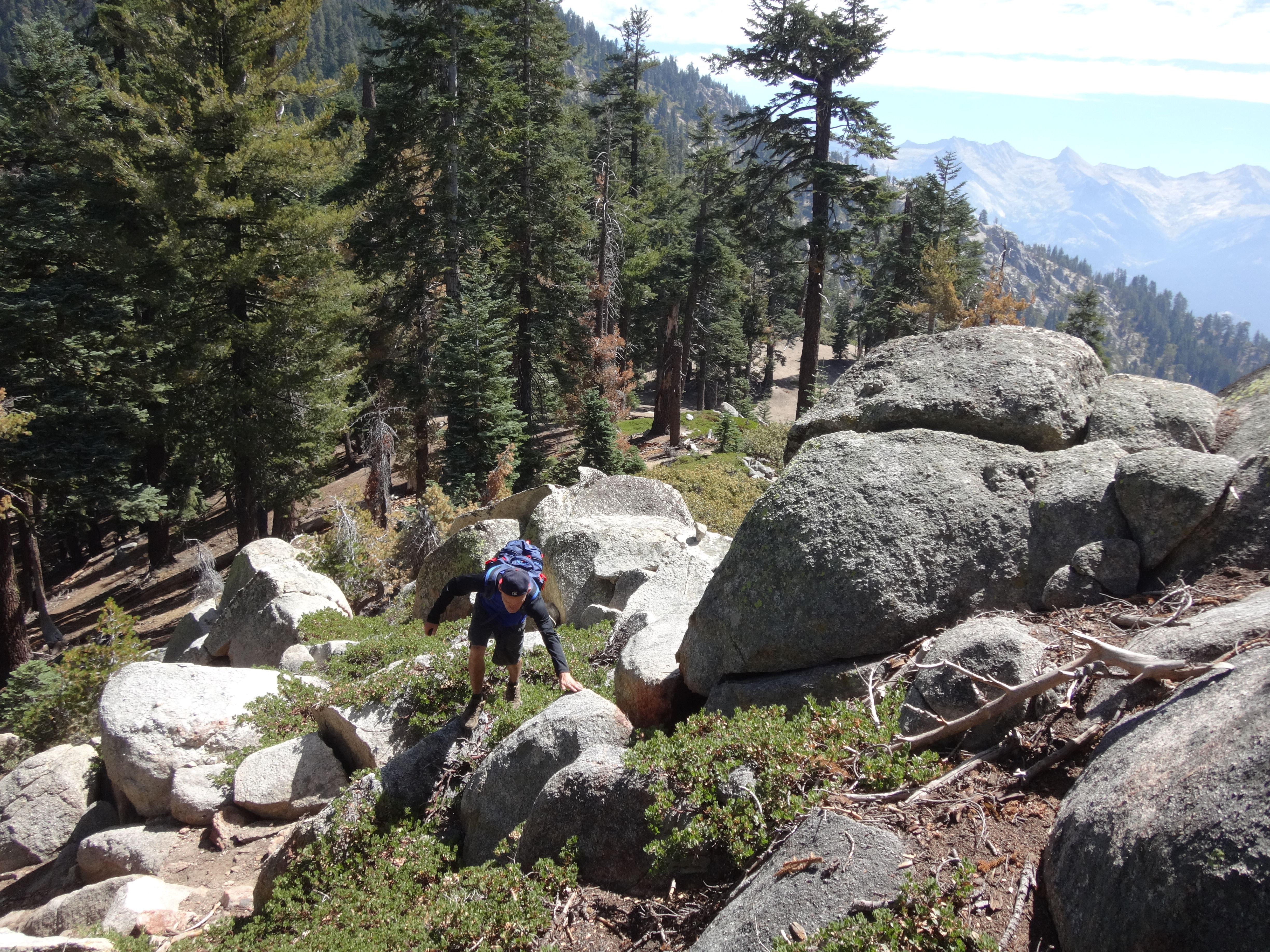
Panther Peak, much easier than Castle Rocks, was not far now. We departed the trail and started cross-country up the ridge to the west.
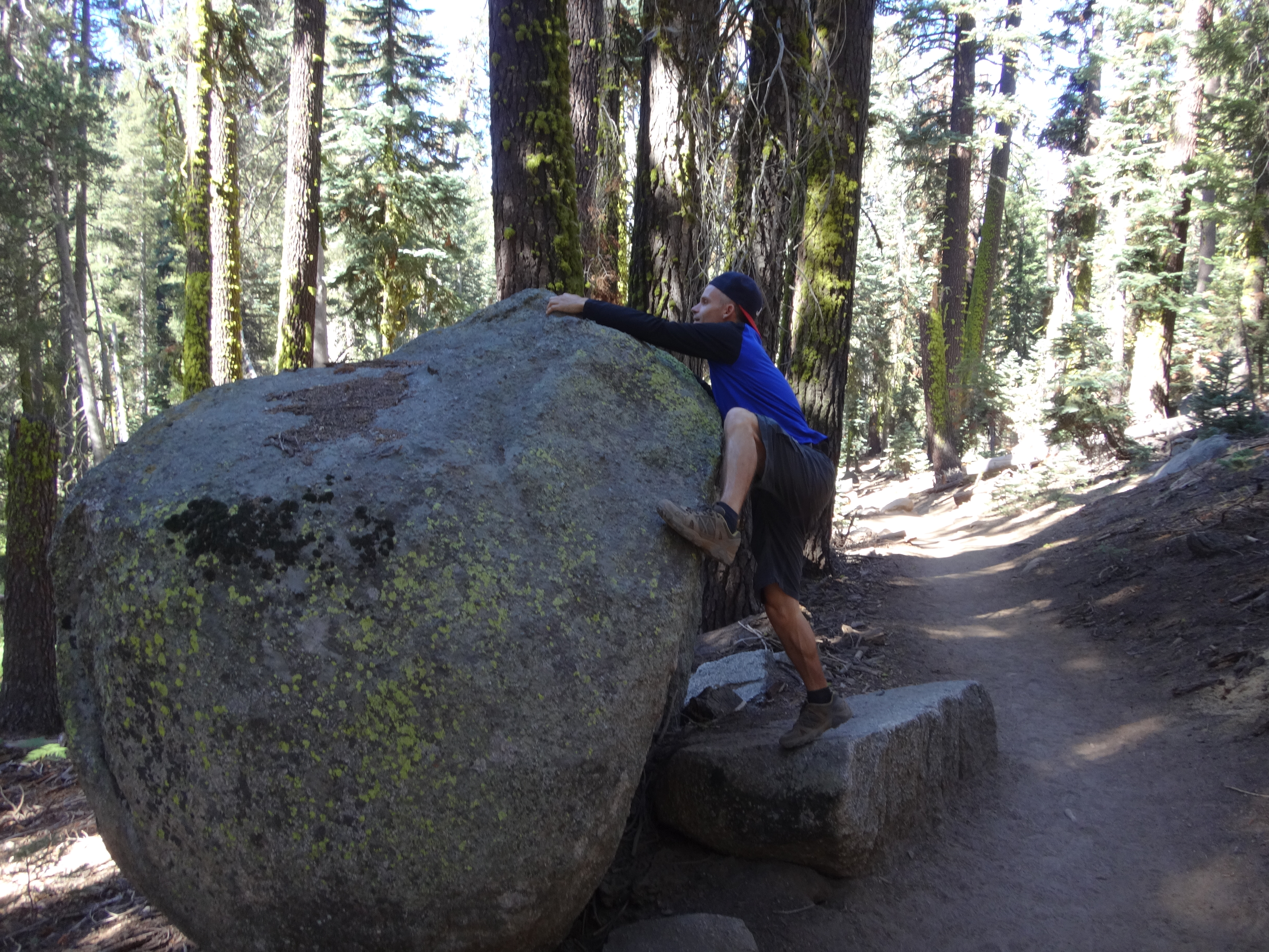
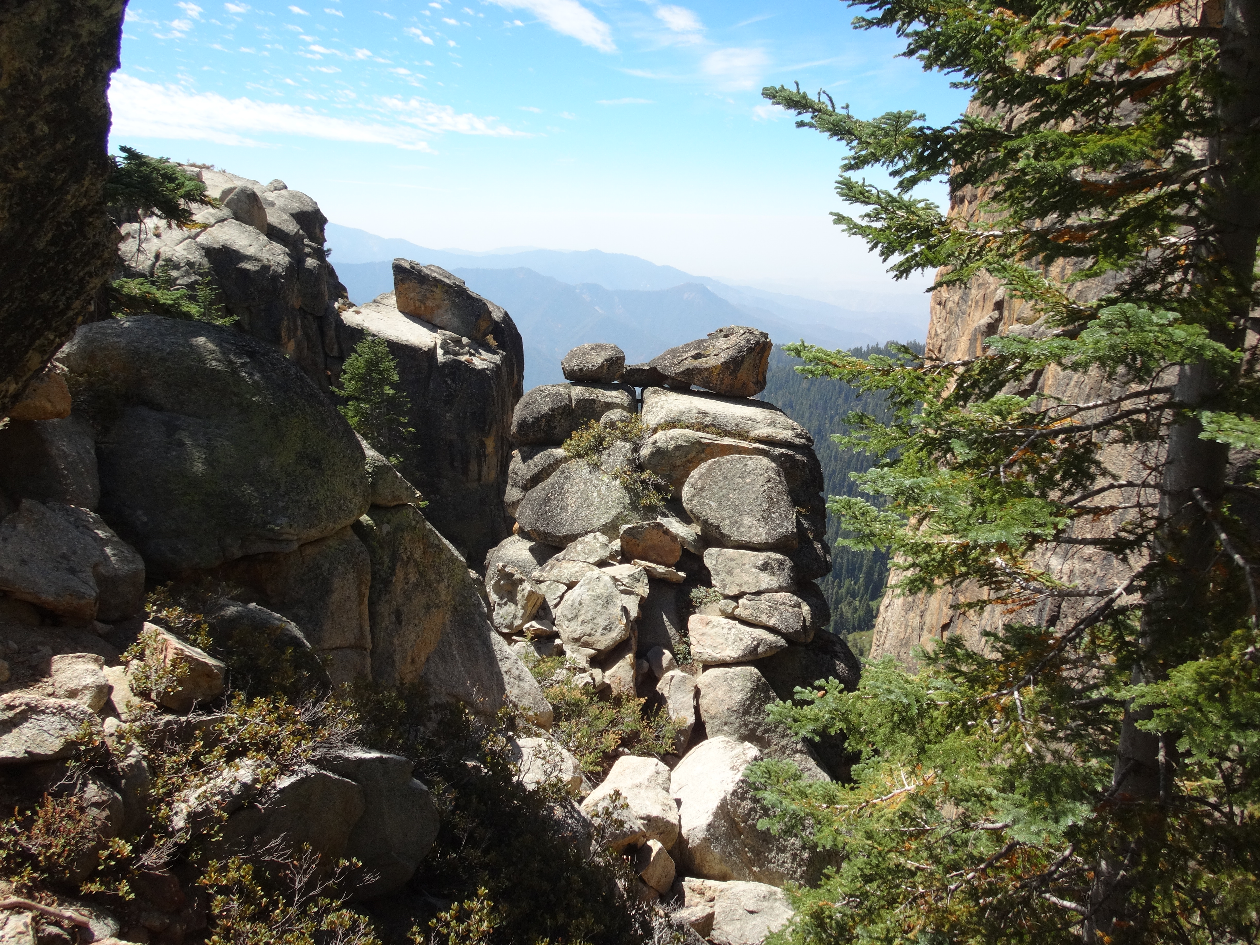
Willie was hoping to see some rocks, and Panther has a few.
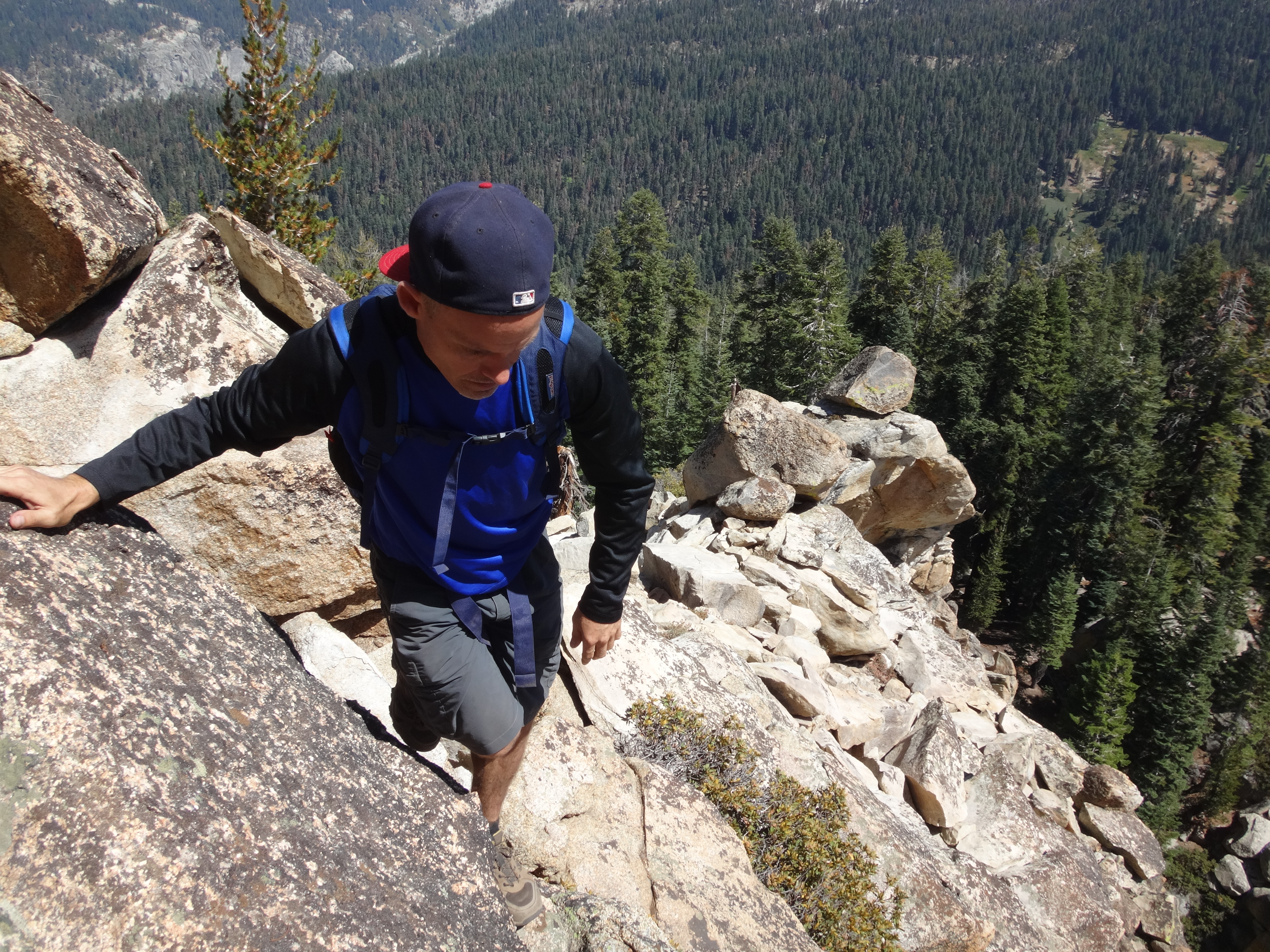
Still, one would have to go out of the way to find a route more difficult than class 2 or 3. We made it to the 9k summit fairly easily.
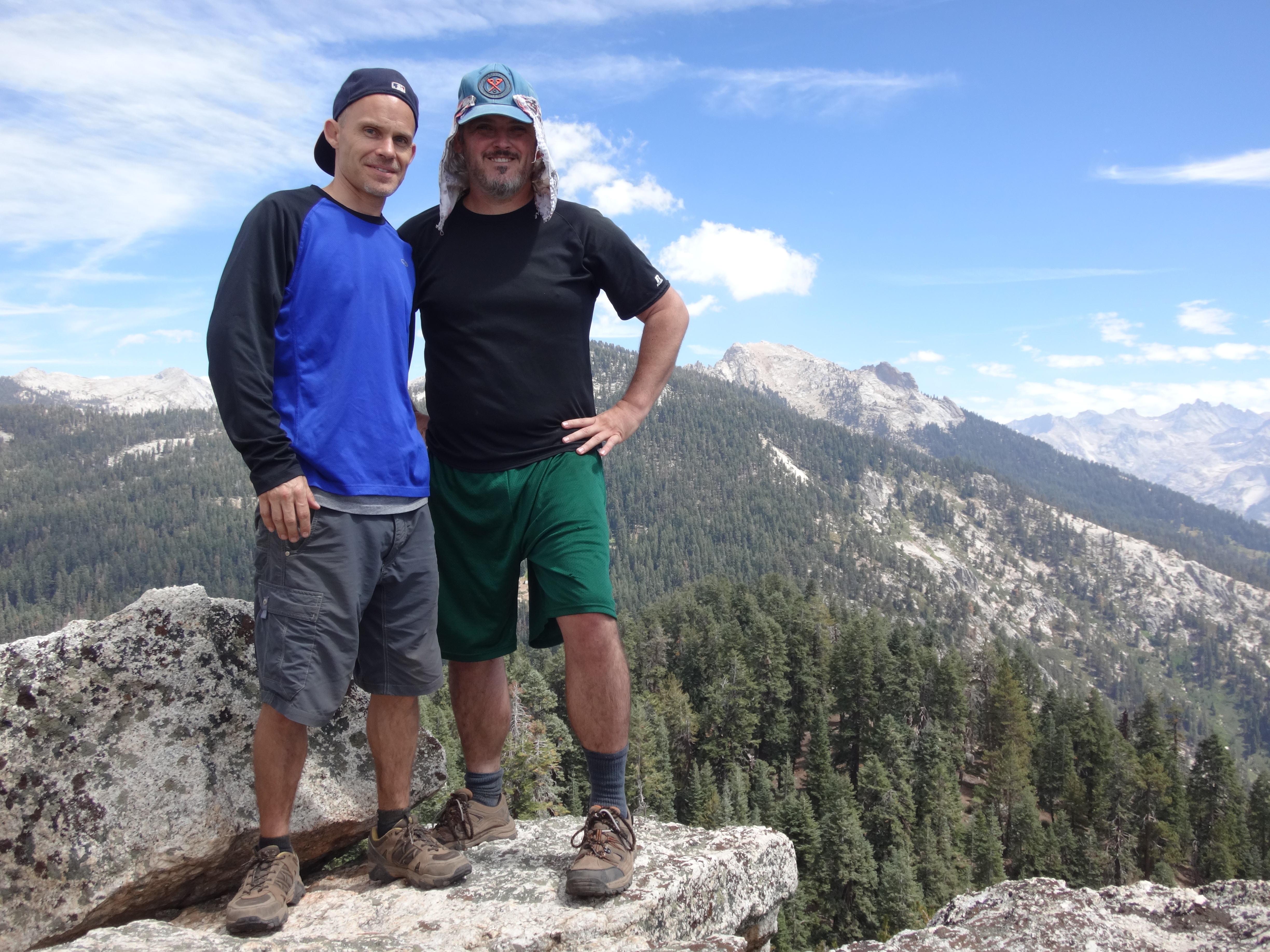
At first there appeared to be no register near the obvious summit boulders. We ate lunch and took in the panoramas, with rocky Alta Peak rising high and near to the east.

While chomping on a turkey sandwich, I happened to glance into a crevice between two boulders. There was some sort of plastic jar in there. Willie tried to reach it but didn't have the arm's length. So I gave it a shot. Flat on my stomach, I reached and felt the container with my fingertips. Taking care not to push it further away, I gently rolled it closer so I could grab it.
Score! Inside was a register, unsigned since May 2011.
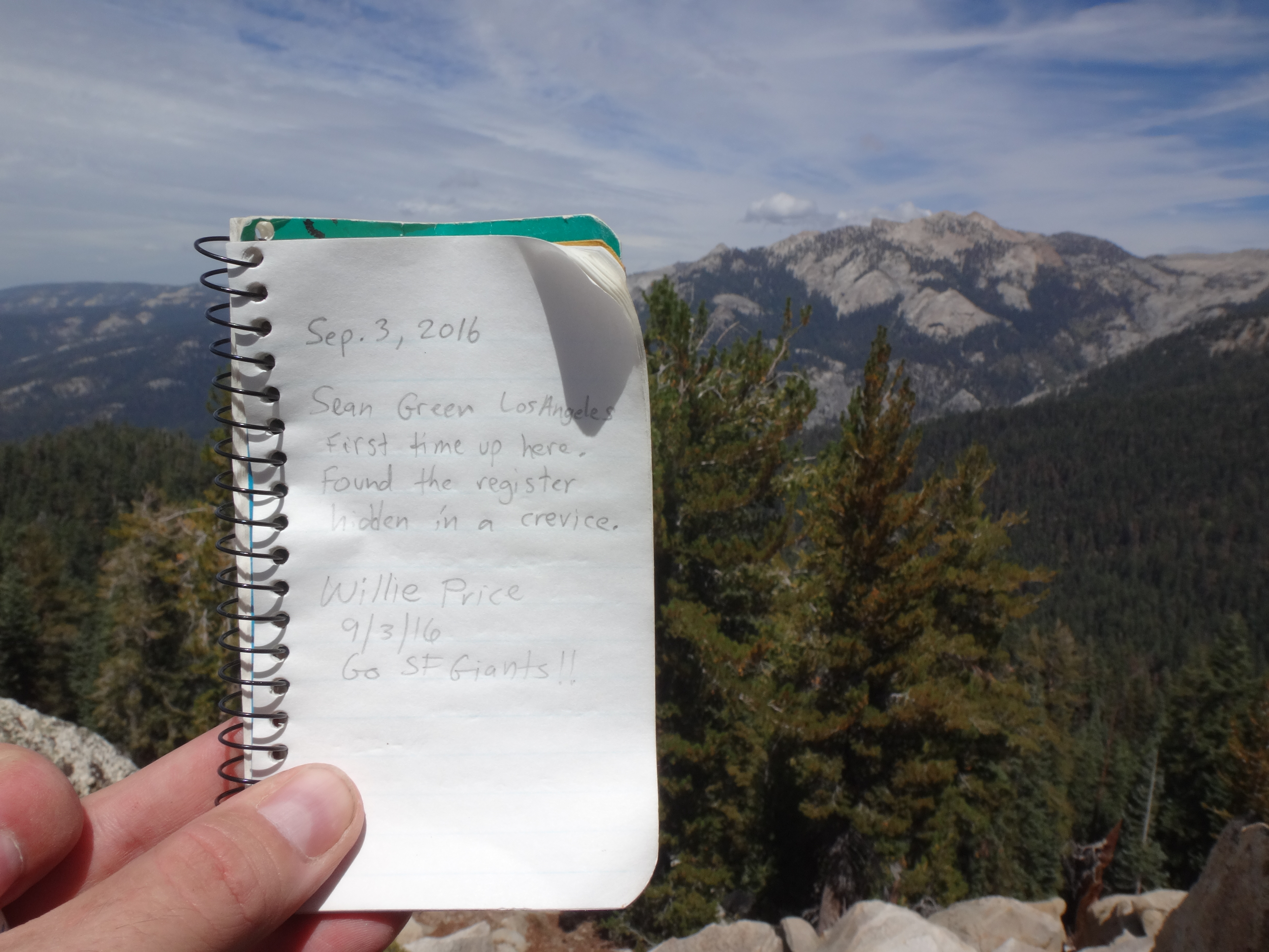
We took turns making our marks on the notebook. Then we said goodbye to Panther Peak, dropping down the north side and joining the Alta Trail to Long Meadow and back to Wolverton.
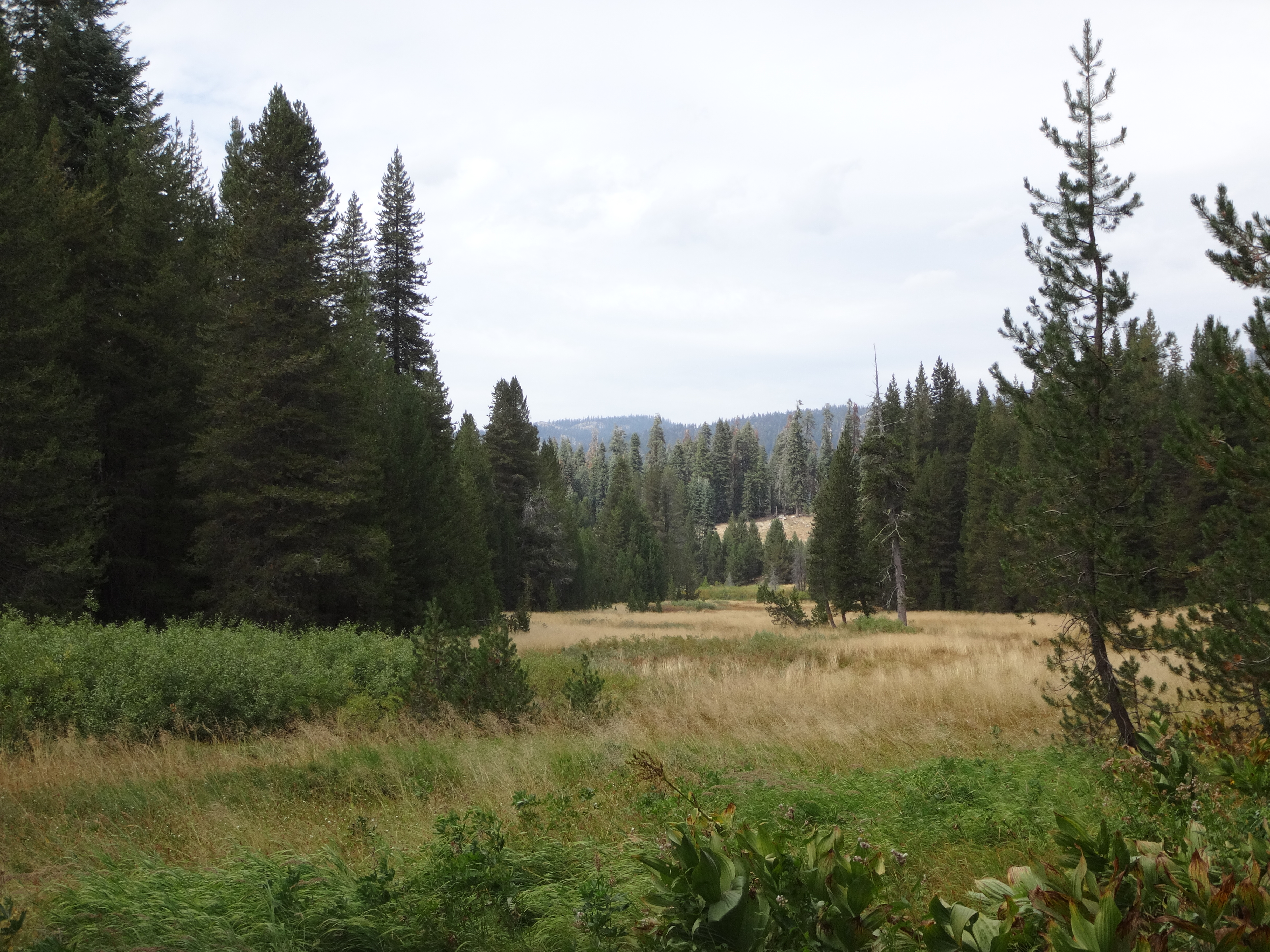
(Long Meadow)
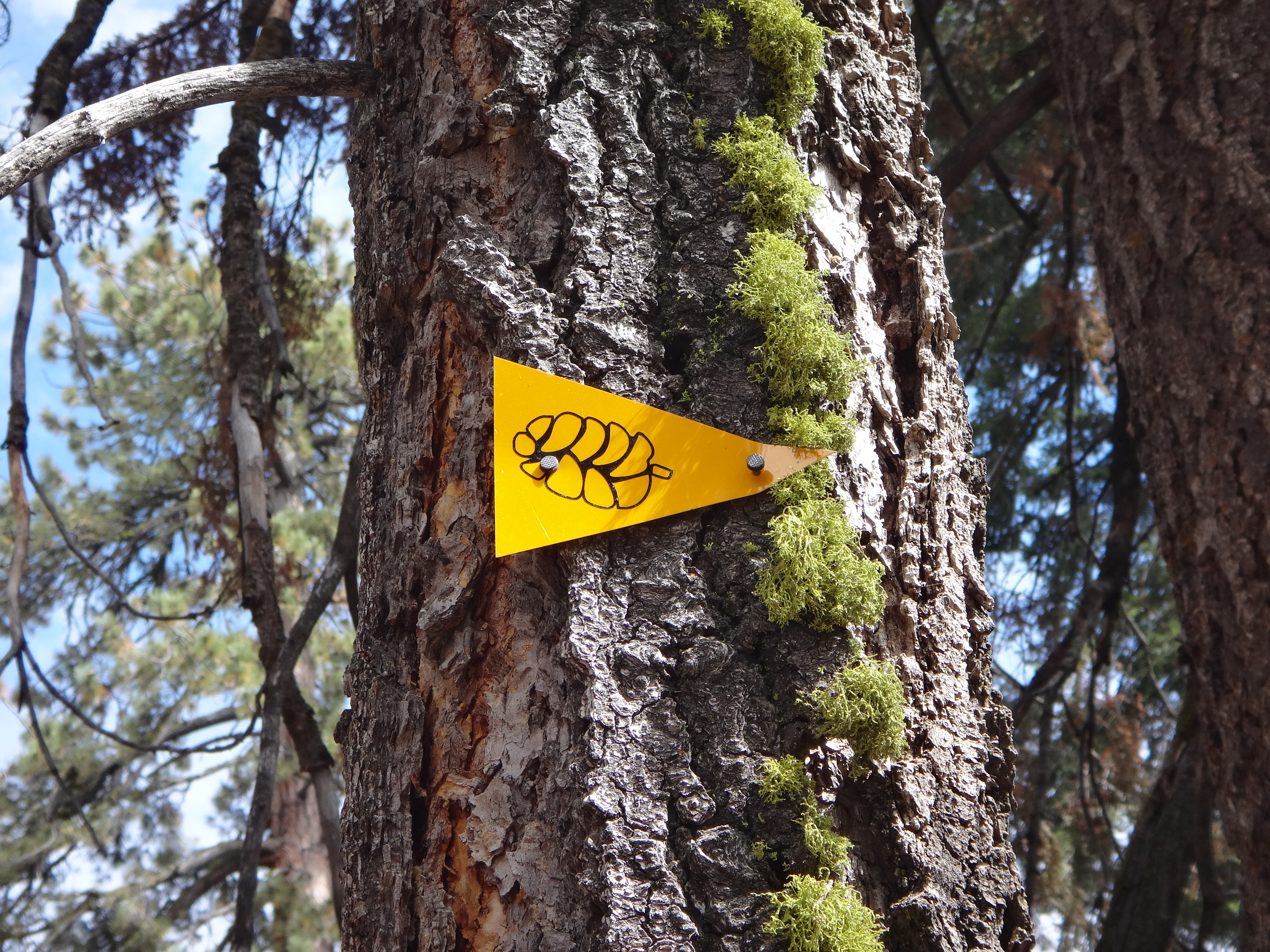
(Trail marker)
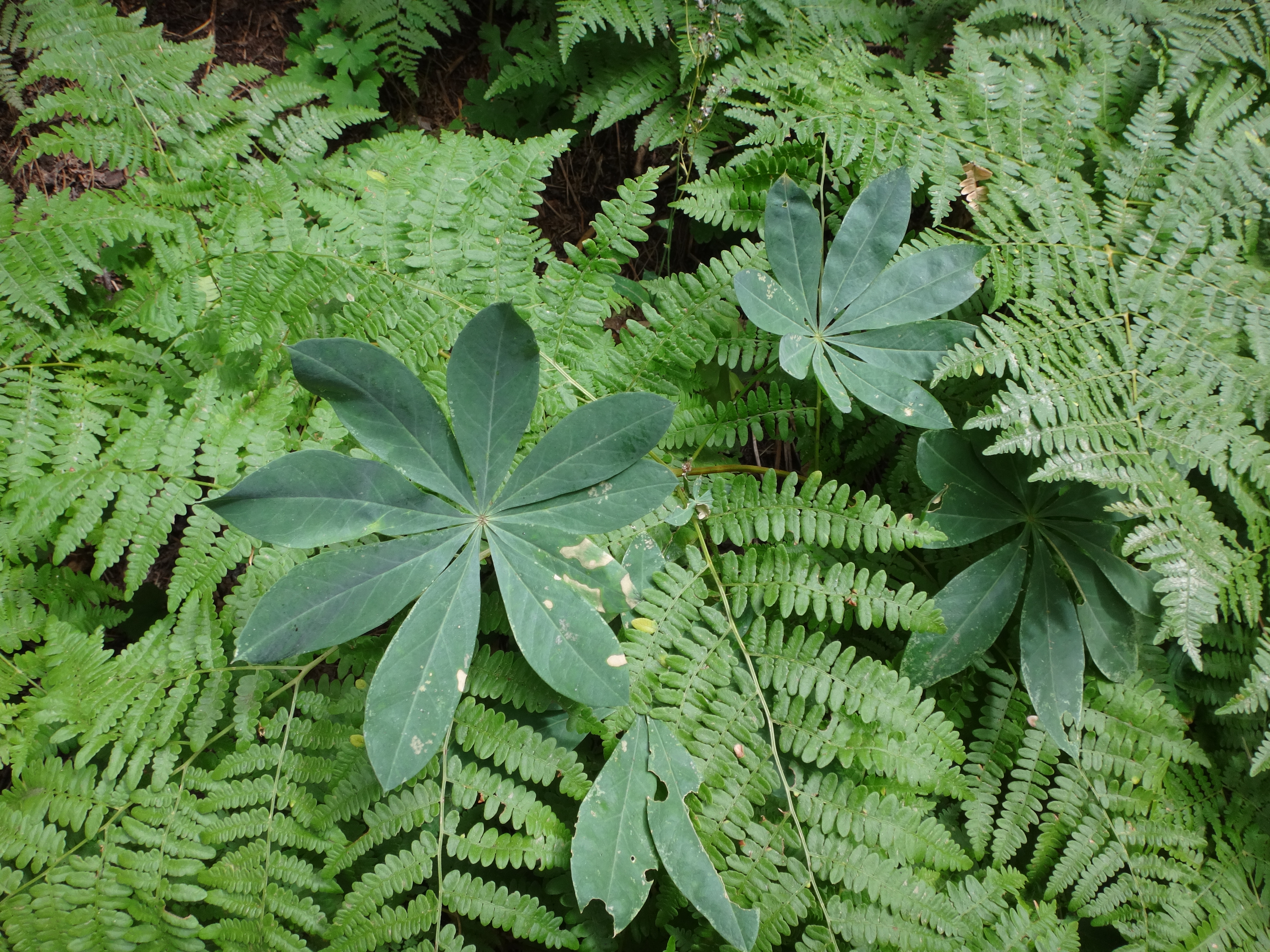
(Ferns)
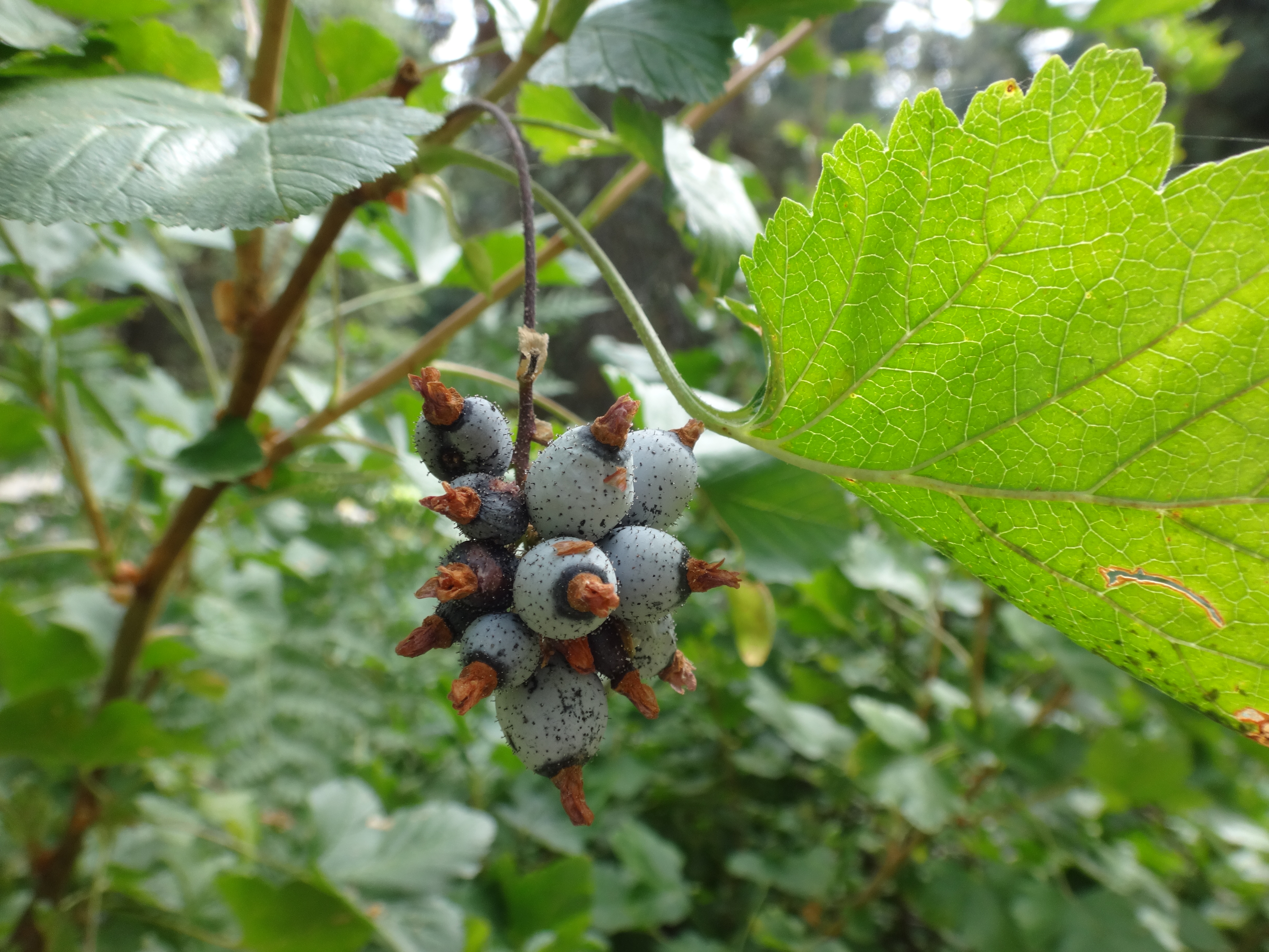
(What's this?)


