We stopped at the Cottonwood Visitor Center and bought little tourist items. I spoke with a ranger to get some info on the Pinkham Canyon Road. He pulled out the "4-wheel drive" binder and showed some pictures of the road, and a truck's wheels negotiating some rough bits. It didn't look that bad. And, in fact, my Honda Pilot ended up doing well.
Pinkham Canyon Road is most probably not for low-clearance vehicles. Even my Pilot hit a few small rocks along the way. There are also many fine ruts in the road, which had to be handled slowly. After 6.1 miles from the main road, we found a small turnout, parked, and got our gear together. It was about 10:30am.
I had some topo maps of the area, and I knew generally which direction to head for Cottonwood Benchmark (the opposite direction from Monument Mountain). So we took off toward the south, up a small tributary wash, then up a short ridge to a main ridge.
(I think this is a Cottontop Cactus.)
On the ridge we saw lots of neat cacti. I'll put more in the Flora section.
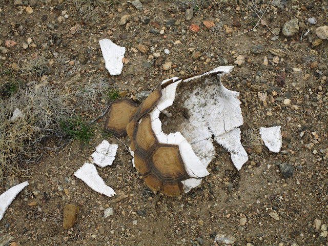
We also found this cool white rock outcropping.
And the Juniper trees were full of berries.
It was a beautiful clear day in the desert with a slight wind and a few high clouds. When we reached the main ridge, we got a view of the two-mile long Cottonwood Basin, which had to be crossed.
We dropped down a bit and tried to stay as high up in the basin as possible, skirting the edges of it. We then traversed a couple minor washes and started up another ridge system.
Atop this new main ridge, we did a semi-circle to the left, bypassing the major washes. Across the expanse we could see our destination. It was slightly frustrating having to curve around to reach it, instead of making a beeline. But the beeline would have involved losing more elevation and by this time that didn't appeal to us much. The roundabout ended up being not so bad after all. We were able to sidehill some of the ridgeline and shave off unnecessary gain and distance.
At last we reached Peak 4425 by 2pm. There was an old register and some decent rocks for sitting and enjoying the views while eating lunch.
I had read in a Peakbagger report that this point was called Cottonwood High Point. But, after scrutinizing the map later, I saw that there is a slightly higher point above the other end of the basin. That one is labelled on Peakbagger as Cottonwood Mountains High Point (4493'). So to avoid confusion I'll just call our point Peak 4425.
Peak 4425 has received very few visitors, though the register goes back to 1978.
We had previously wasted effort looking for the Cottonwood Benchmark in a wrong location. But after eating some food and getting a better grasp on the topography, I felt confident that I now knew where to look on the second try. The Metropolitan Water District benchmark is about a quarter-mile away from the summit, on a slightly lower bump to the southwest.
A neat thing about this particular triangulation station is that some of the surveyor's equipment appears to have been left behind and still remains up there.
It looks like a discarded stand, or whatever you call the thing that holds the thing that they use to measure the thing.
The purpose of the 1931 survey was related to construction of the Colorado River Aqueduct, which runs through this area.
The station location also has a nice view of the Salton Sea.
I don't blame the surveyors (too much) for trashing up the summit. I assume they packed in the wood and metal, and packing it out must have been too much to ask of a mere mortal MWD employee.
On the return, we dropped into the Pinkham Canyon network of washes and had a simple but long and sand-filled walk out.
Cecelia spent much of the afternoon worried that I wouldn't be able to navigate us out before dark. But we reached the car just as the sun was setting.
O, ye of little faith!
Distance: 11 miles
Gain: 1400'
Trash: Three cans, one ?