Leisa and I got up before dawn and drove to the Sunrise Trailhead on Tioga Pass Road. Even at this early hour, there were only two parking spots. We crossed a wide stream and headed south from Tenaya Lake, shaded by tall pines and cedars. The first trail sign said Clouds Rest (9926') was 7.1 miles away, but the GPS track measured a full half mile less (a mile less for the round trip). The trail was in great shape and offered a lot of shade. The first mile was flat with small granite domes and boulder piles flaring up on both sides of the trail. Then, we started climbing rock steps to a trail junction at 9200'. This was the largest chunk of gain. From the junction, the trail dropped with Sunrise Mountain towering to the west. This was also the first place we got a glimpse of Clouds Rest. Mosquitoes pestered us the first couple of hours, landing a few bites before the sun drove them away. We passed a small, pristine lake that was unnamed on the topo map. After that, the trail climbed slowly. At the next stream crossing, we caught up to some backpackers who planned to go over Clouds Rest and camp in Little Yosemite Valley that night. I didn't envy any of them lugging what looked to be 50+ pound packs. When we reached the saddle at 9400', we got a clear view of the southern spine of Clouds Rest. I was glad the trail chipped away at the gain and it wasn't all saved for the end. From the base of the summit, we looked up at 300' of neatly stacked granite plates, much like a stack of pancakes. That's where we also met the first of three summit marmots.
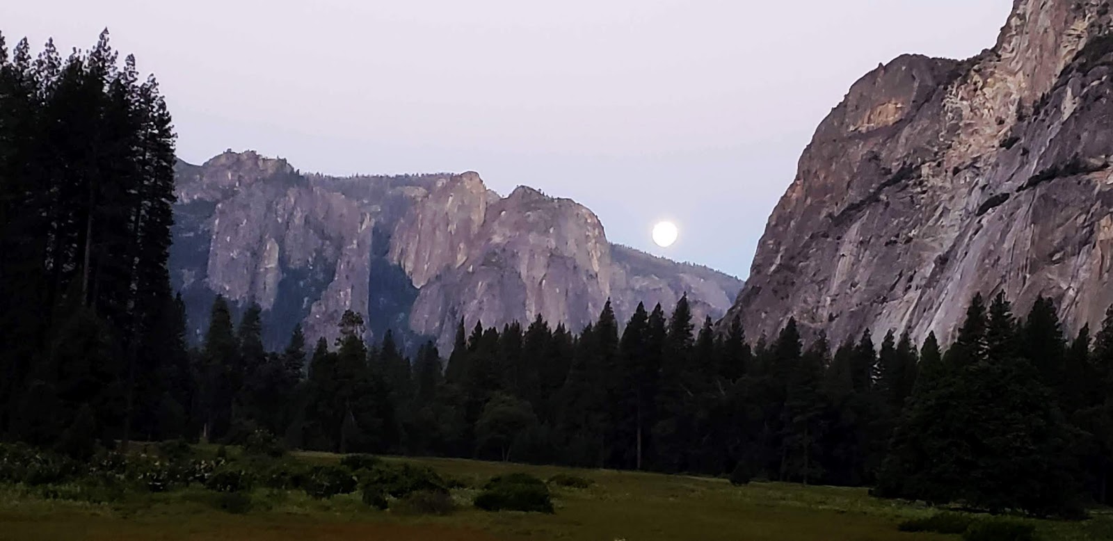 Full moon over the valley an hour before sunrise
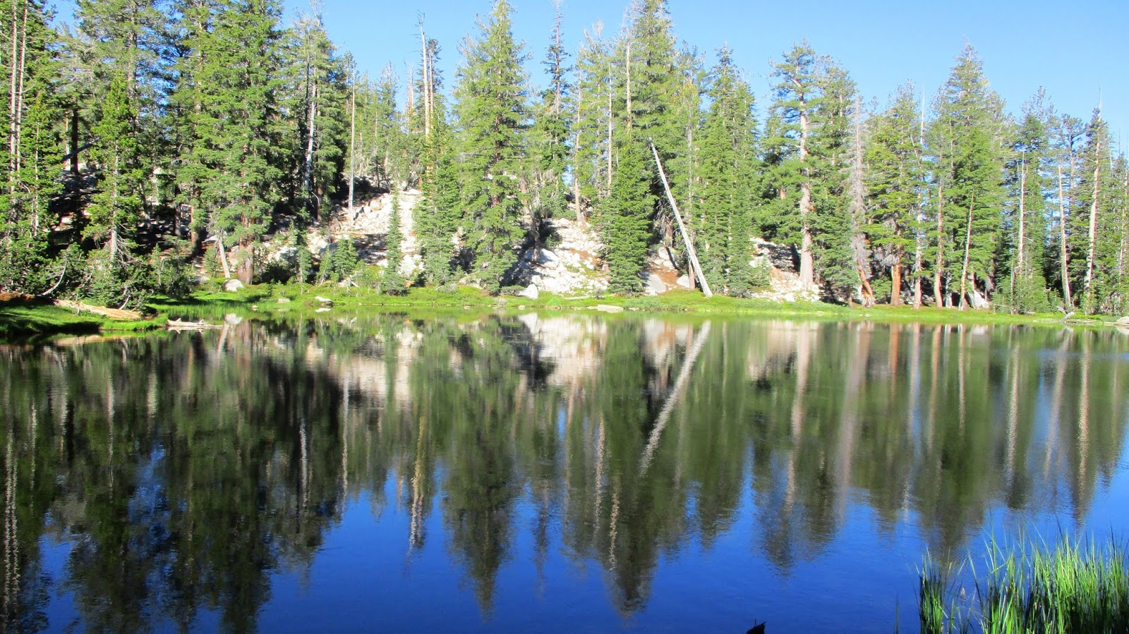 Unnamed lake
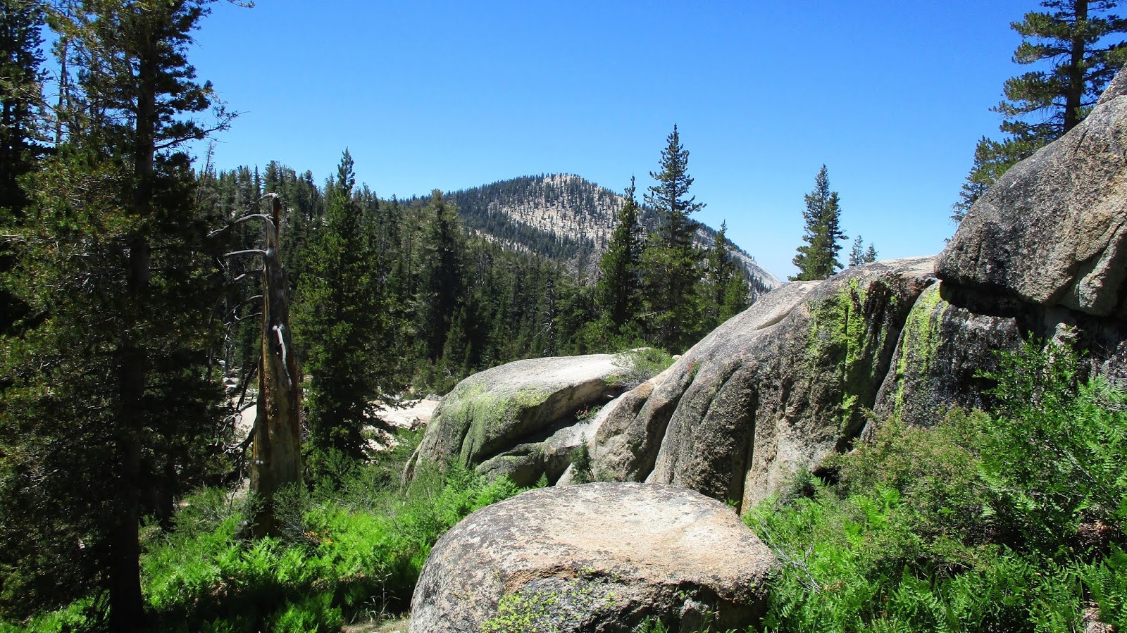 First look at Clouds Rest
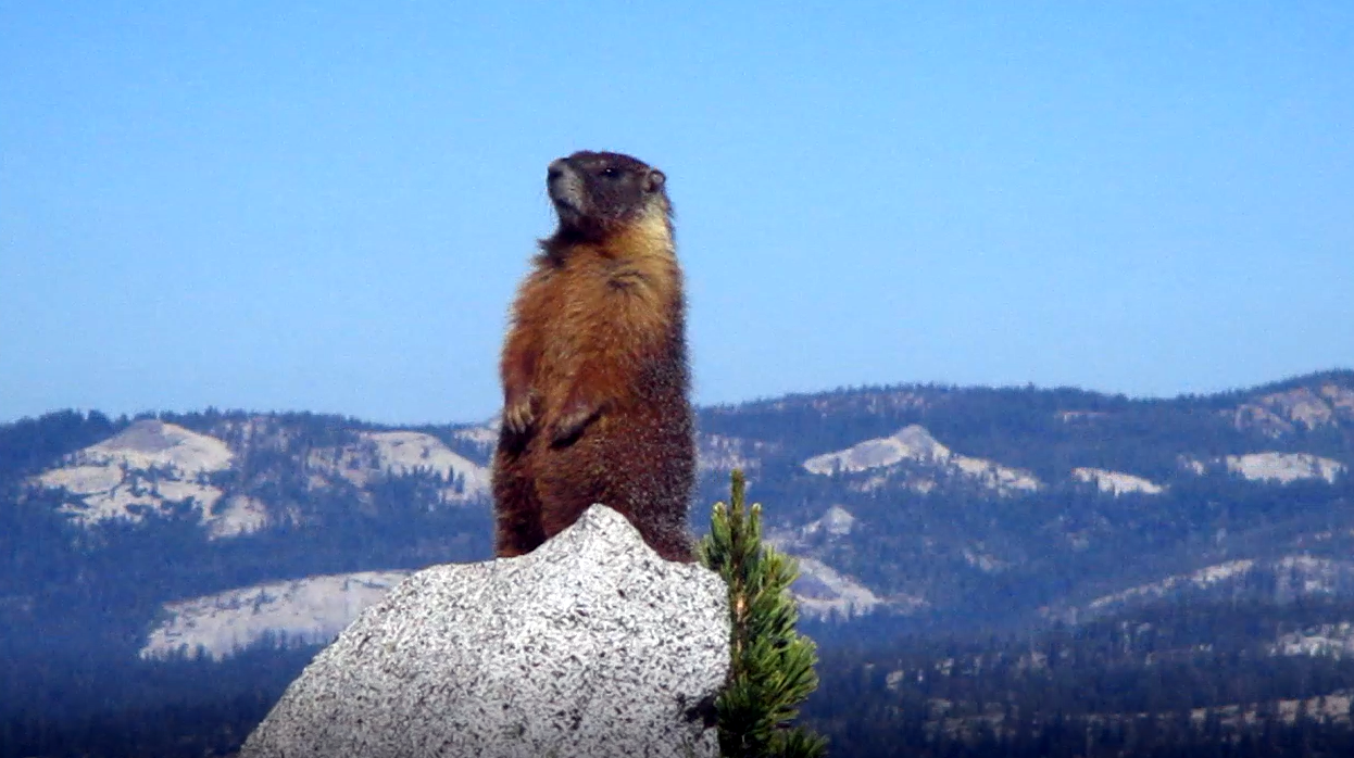 Marmot welcomes us to the base of the summit
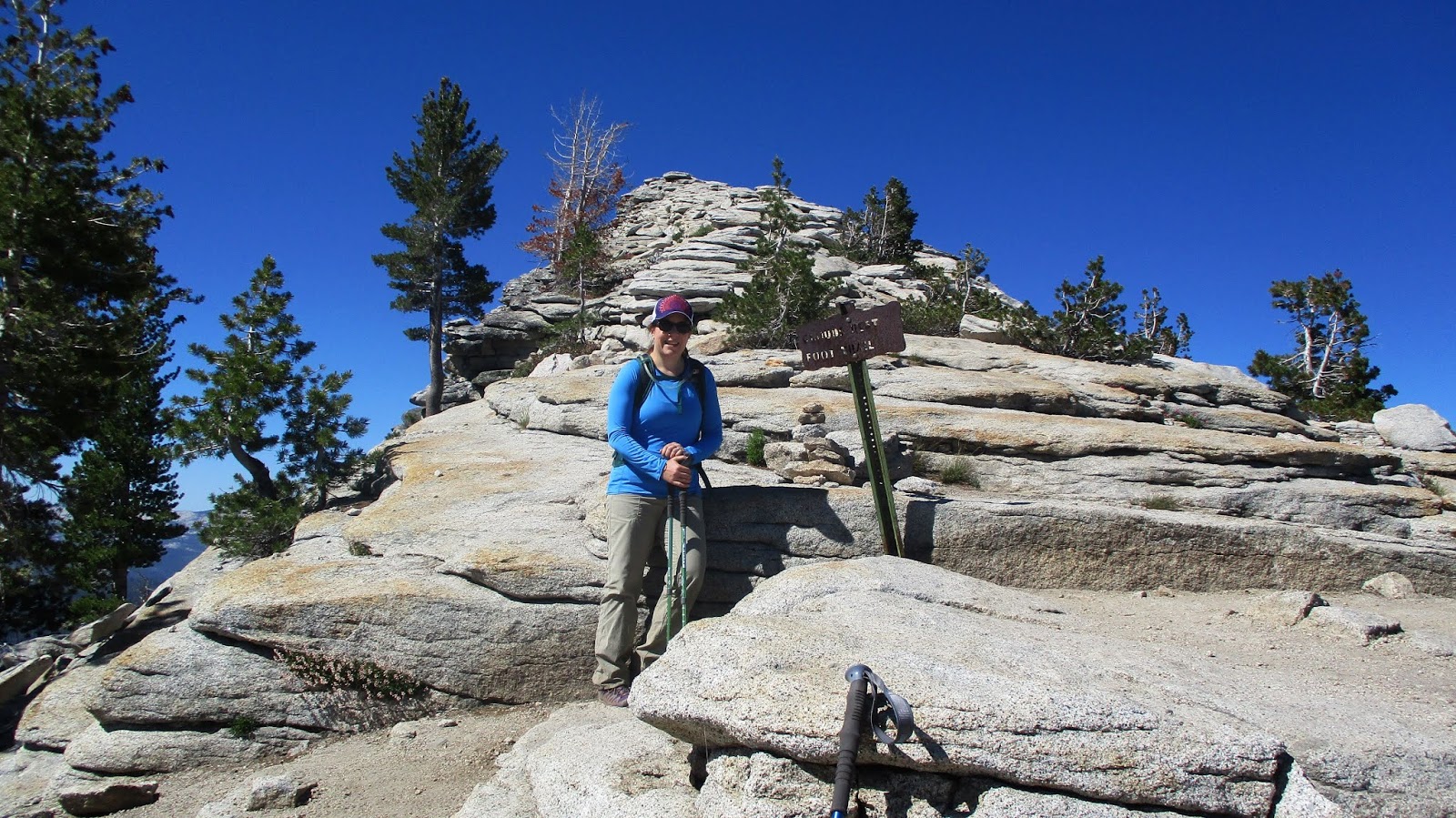 Base of the summit, this is a false summit
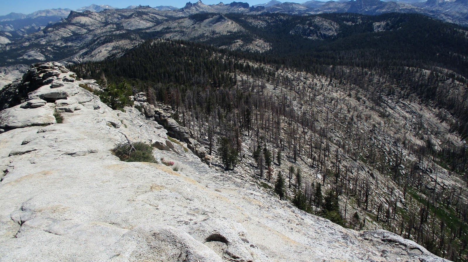
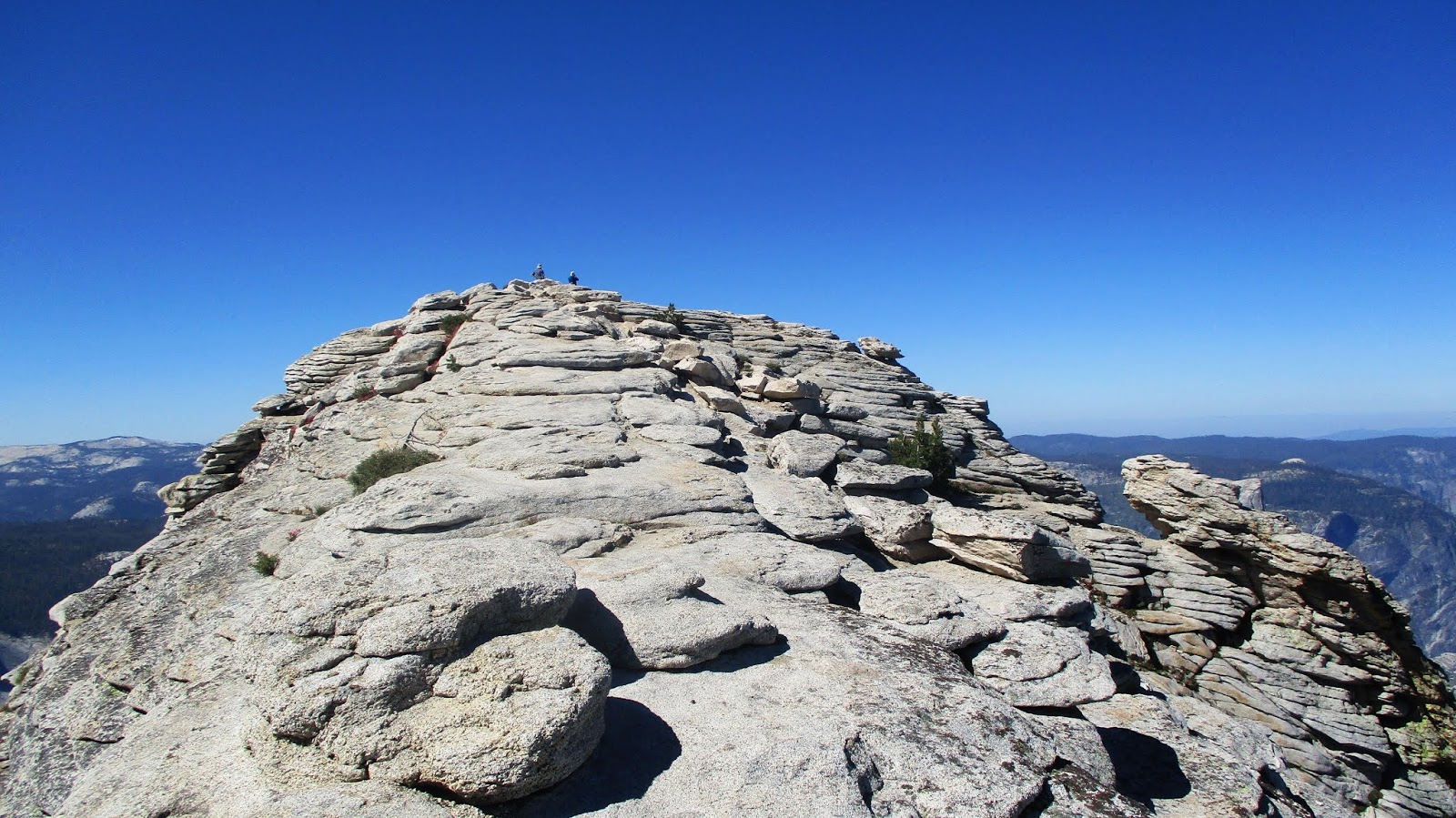 Approaching the summit
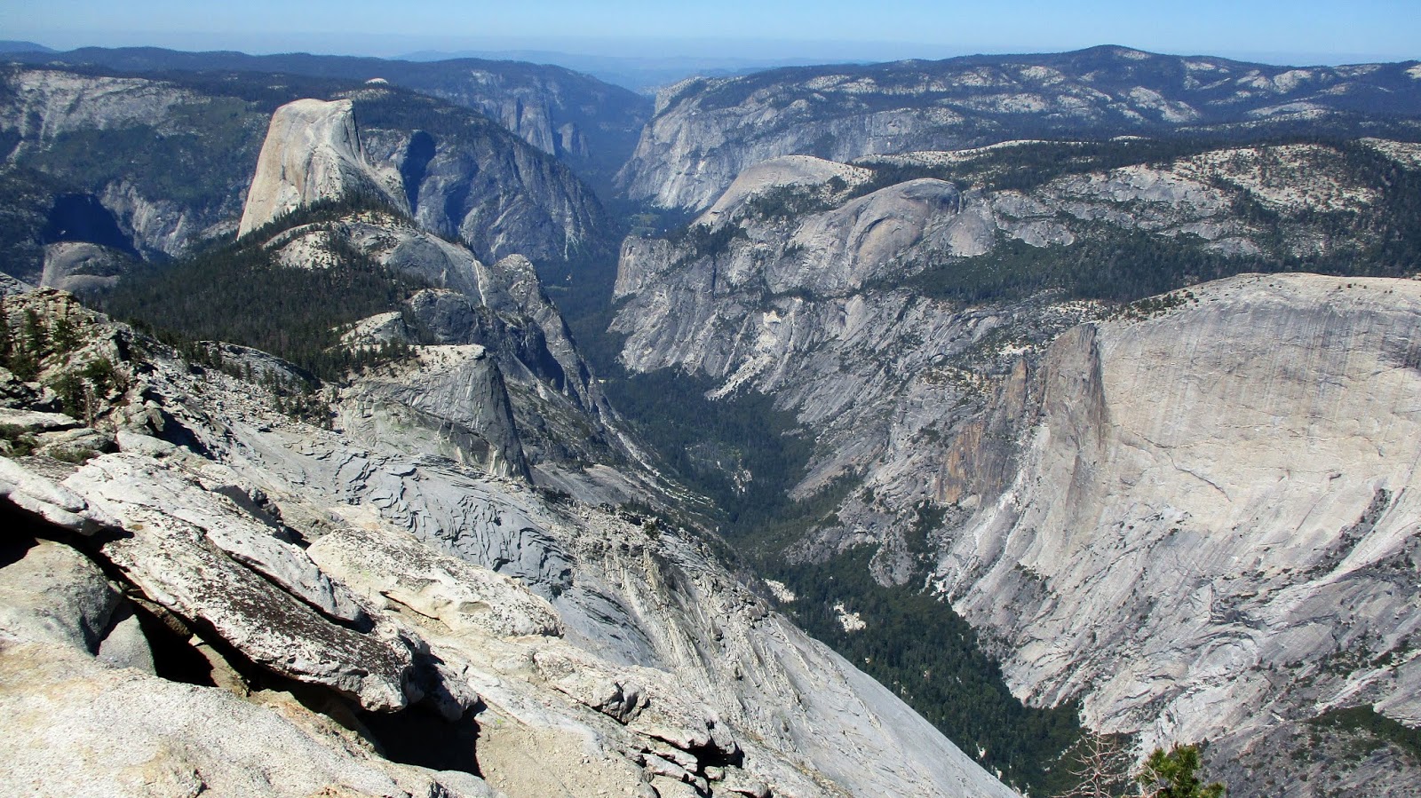
Looking back, the entire hike could have been done with only a water filter. There are two wide stream crossings at the start, the unnamed lake about half way, and two more stream crossings after that. After a short break, we started our final push. The path never got narrower than 5' at any point and was all class 1, but the drops on both sides grew enough that you didn't want to tumble down either side. After one false summit, we reached the top and enjoyed sensational 360 views. Half Dome naturally dominated the view south and the entire world in all directions appeared to be made of granite. A few of the mountains I could identify, but I had to research the high points north and east. Yosemite is a big place. I found two reference marks on the summit but only a metal pin remained where the benchmark was supposed to be. There was no register on this popular peak. We relaxed and enjoyed the perfect weather, while marmots and ground squirrels did their best to sneak into unattended packs. The way back added 500'+ of gain and the distance seemed longer than it did on the way out (it usually does). We ended the day with pizza and beer on the Pizza Deck at Half Dome Village. 13.1 miles round trip, 3051' gain.
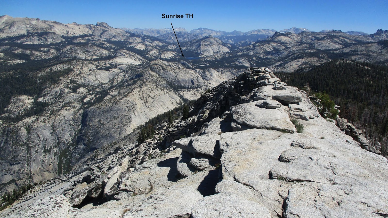 Looking back to the start of the hike near Tenaya Lake
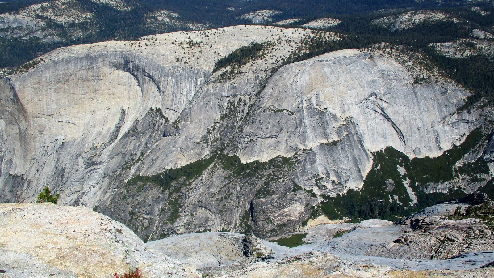
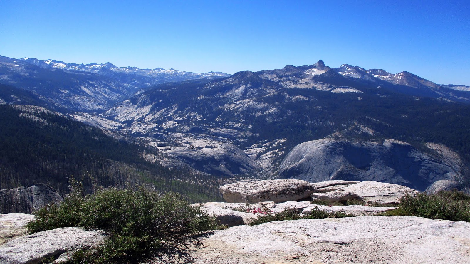
 Spiky Mt. Clark to the east
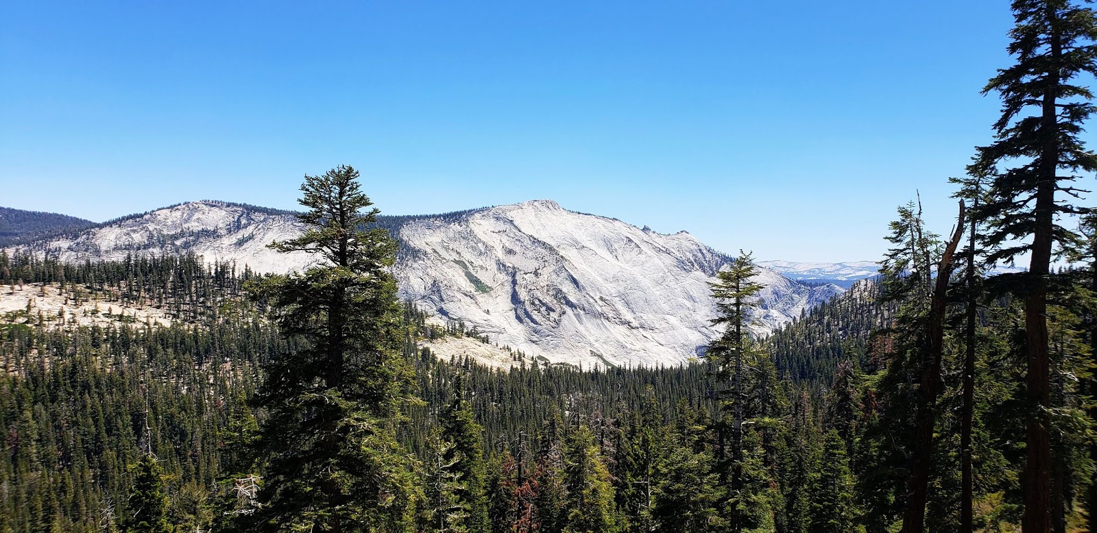 Clouds Rest from Tioga Pass Road


