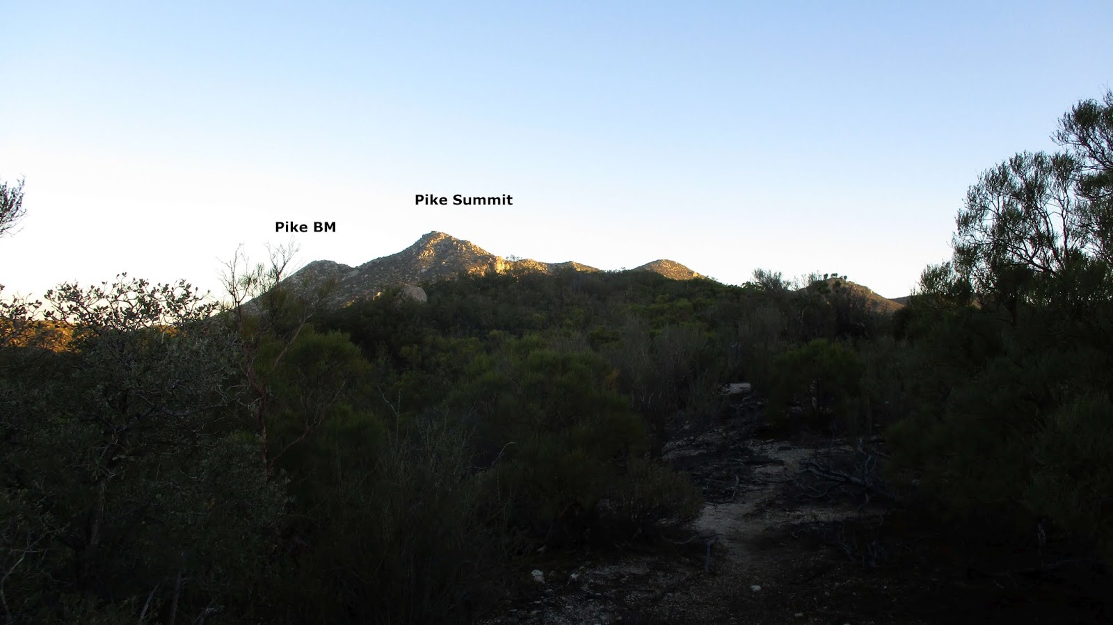
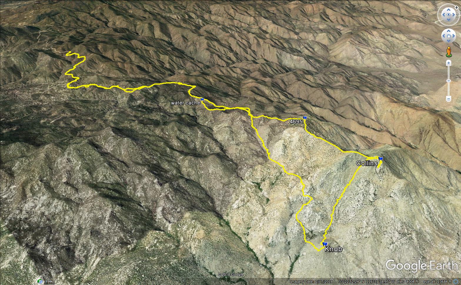
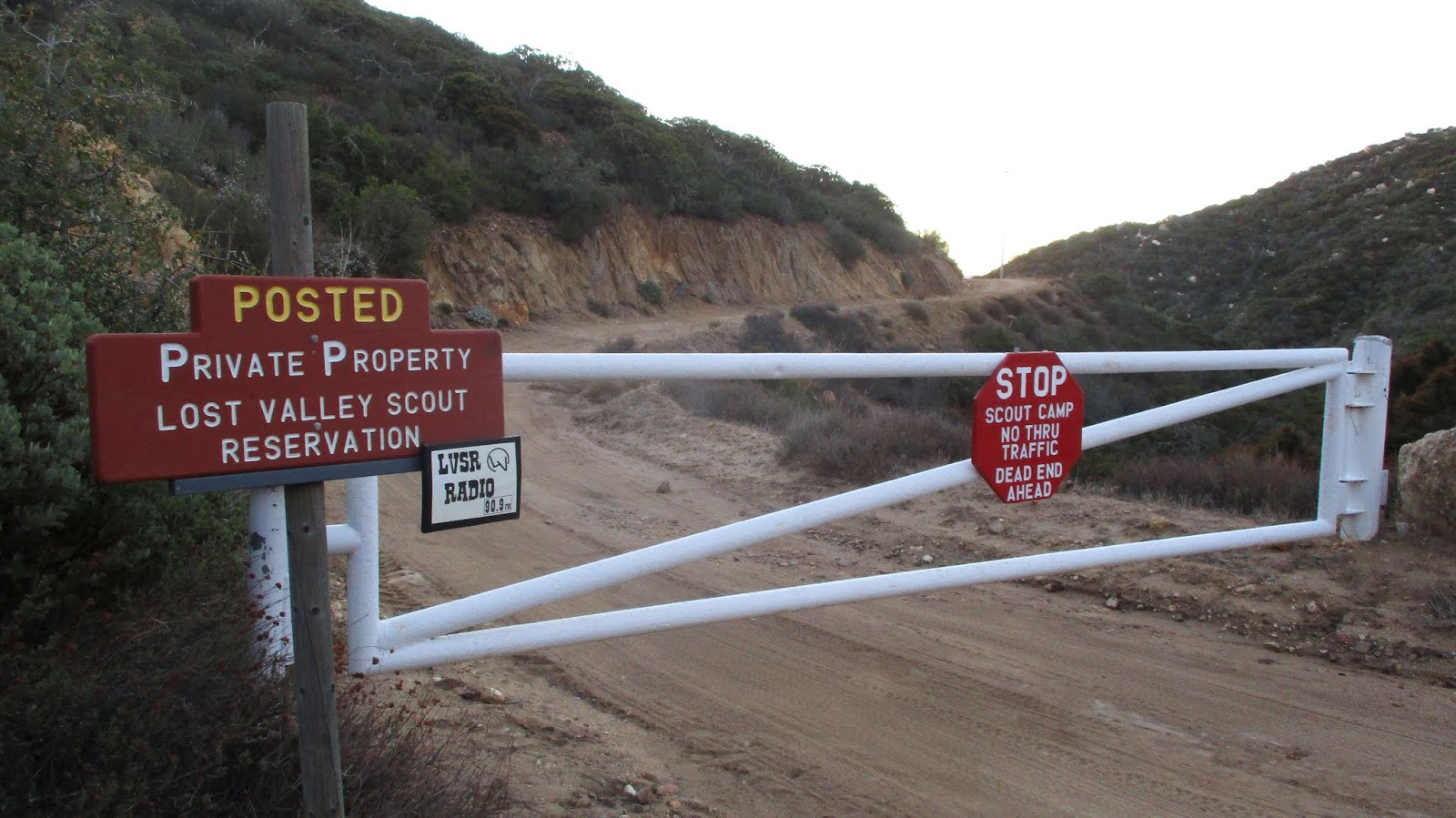
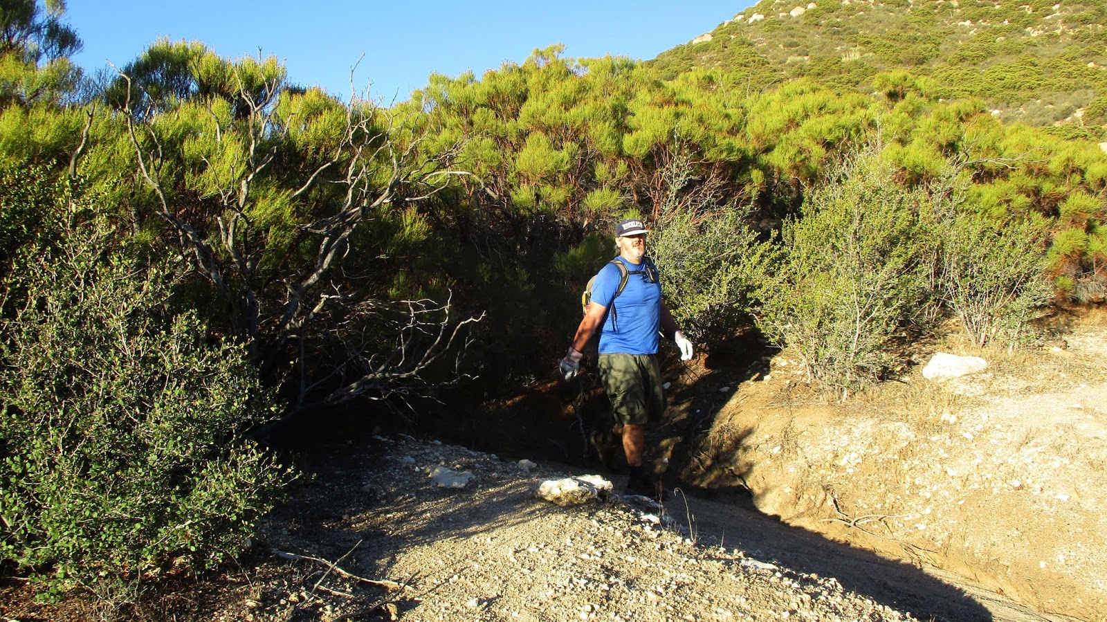
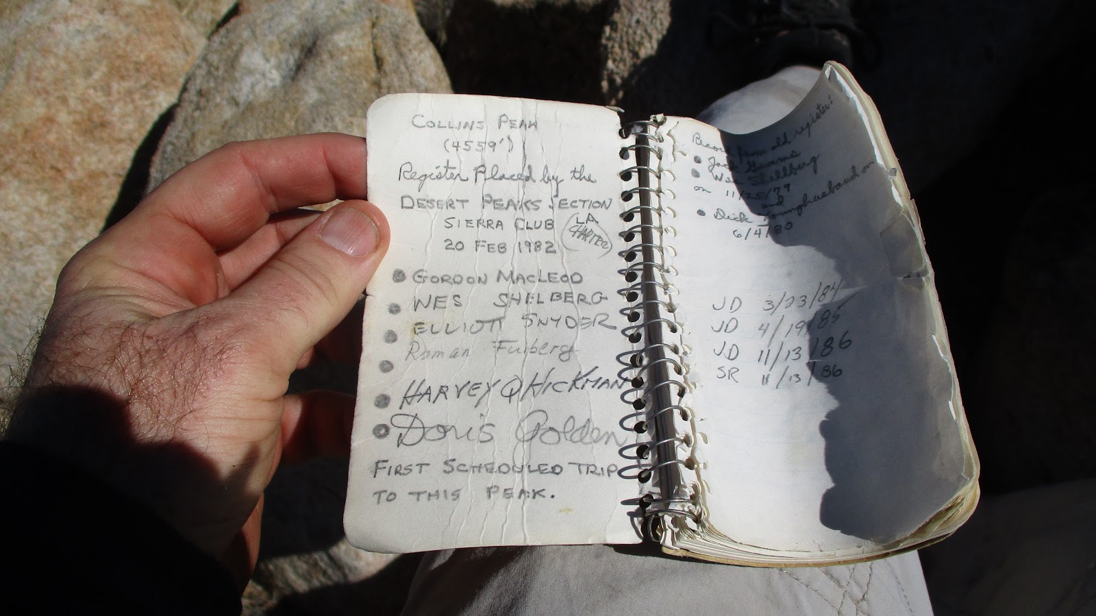
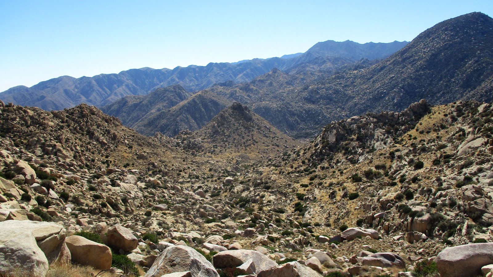
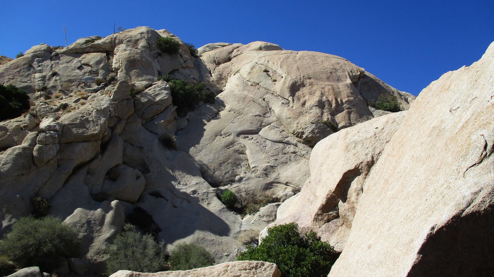
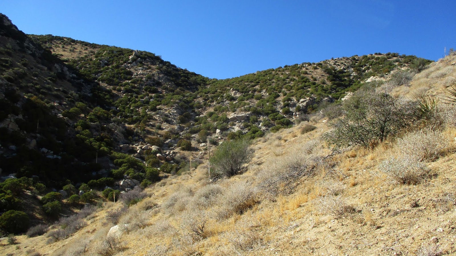
Sean and I parked just outside the gate of the BSA road just after dawn. It was cool in the morning with temps expected to range from the mid-50s to mid-80s. We started higher than our destinations, meaning a lot of uphill on the way back. After a mile plus of descending the road, we headed left into the light brush behind a large boulder. The terrain was a confusing mix of washes, low bumps, and light brush with occasional small trees. It was very similar to the terrain around Pike, Cody, and Norte. Pike was a constant visible landmark to the south. We generally stuck to the track, ducking in and out of washes. There was enough space between the bushes that you could generally avoid them, though we both got a few scrapes from small trees. We found the cut sections of brush that Ben Baumann described, an obvious firebreak from days gone by. We cached some water about a half mile before the loop split on a hill with a prominent boulder. The split point was the saddle below Peak 4695. As we got close to the saddle, we veered more directly to the summit. Though the register was placed in 1979, it still had very few signatures. It is on the way to Collins from the west, but would require extra effort from the east. This was our first view of Collins. We took a short break on 4695 before packing up and heading down the ridge.
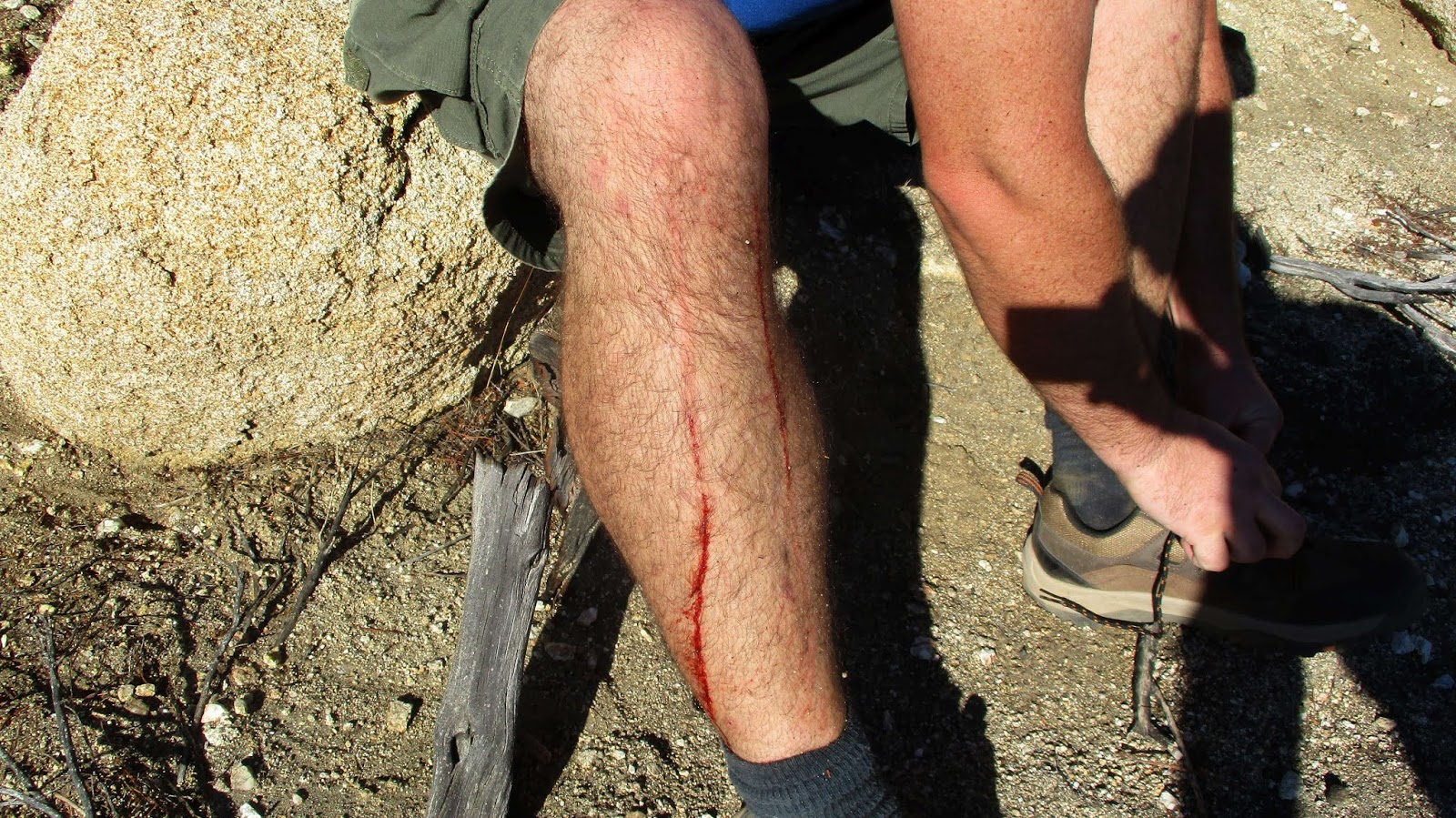
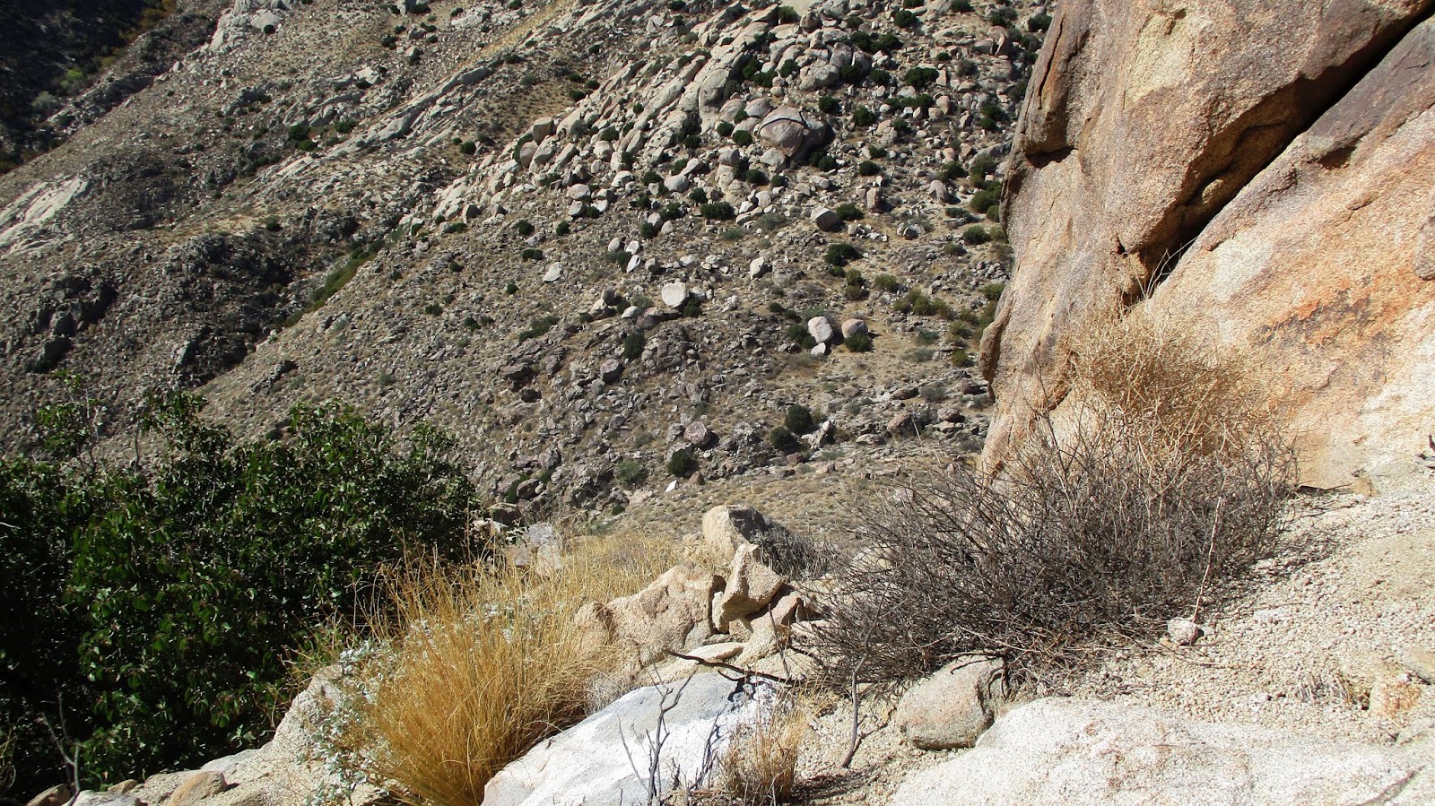
Battle scars
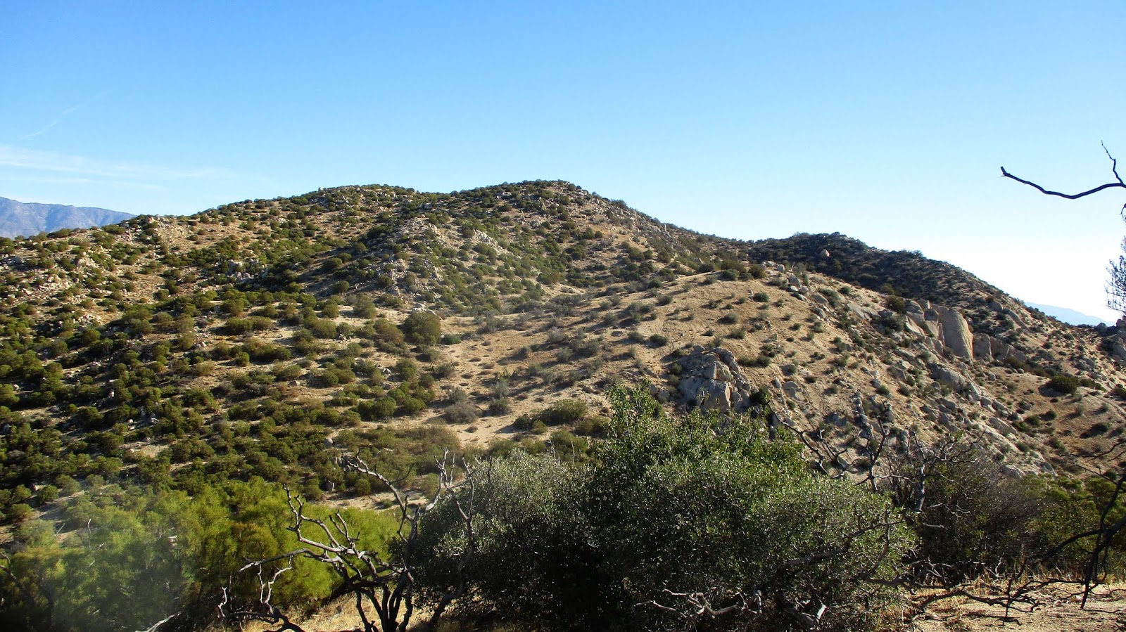
Peak 4695
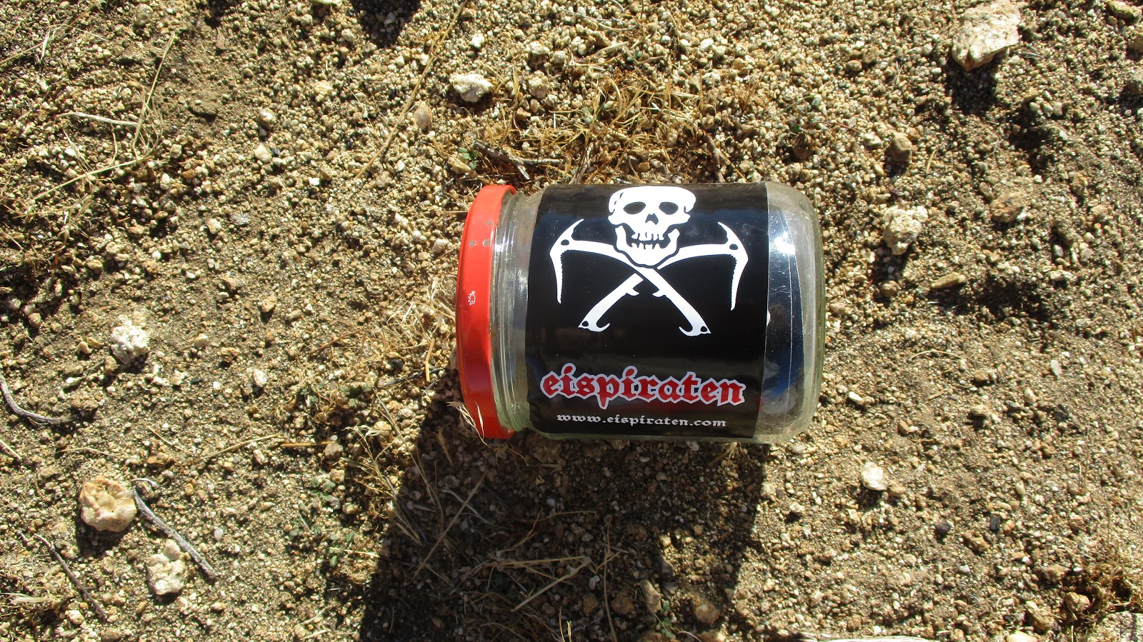
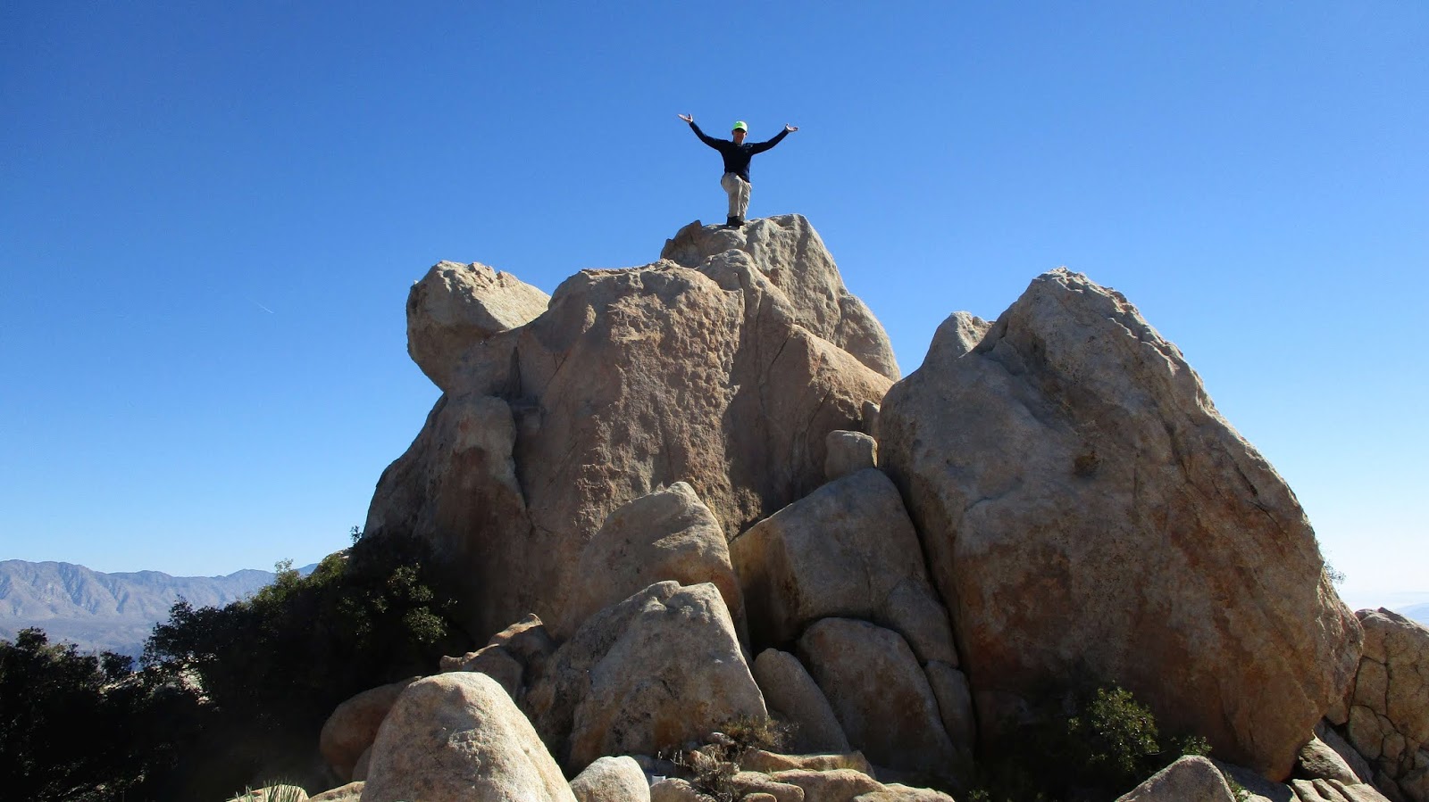
Tagged the register jar
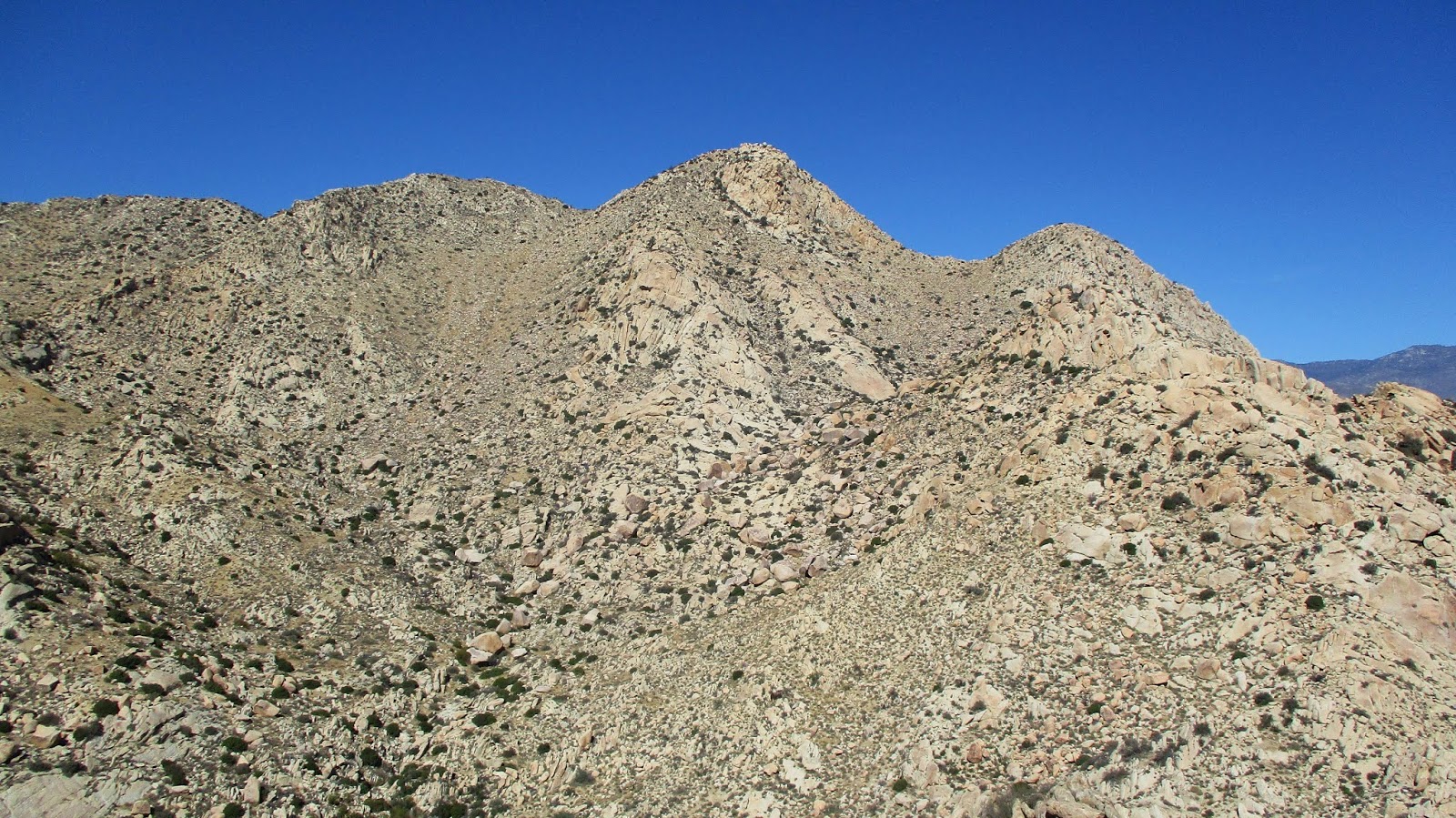
We continued on the ridge from Peak 4695 to Collins. It didn't look as intimidating from this side. There were several drops along the ridge with a couple of steep ascents to reach the summit. The summit boulder pile was easy class 3 and the register was in a white tube at the bottom. We signed in and Sean found a shady spot to relax and eat. We talked about the big 1400' drop to Knob. Sean wasn't feeling it and decided to head back and wait for me at the water cache. I was feeling pretty well and didn't want to make another trip just for Knob. Sean asked how long I thought it would take me to get Knob. I guessed 2.5 hours which would have put me at the cache around 2:00 PM. That turned out to be optimistic.
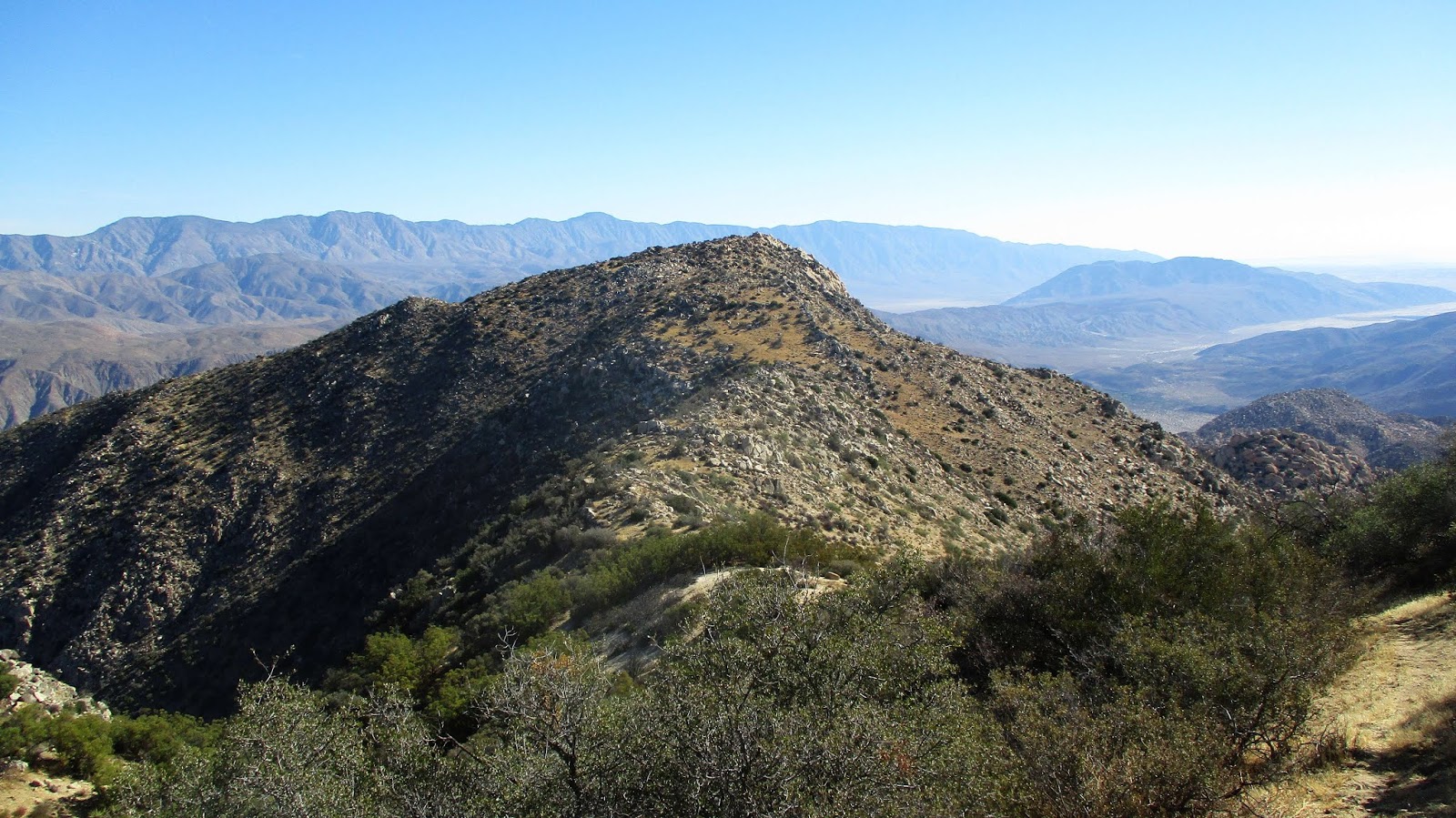
Collins BM from the west
Looking down at Knob BM from the side of Collins
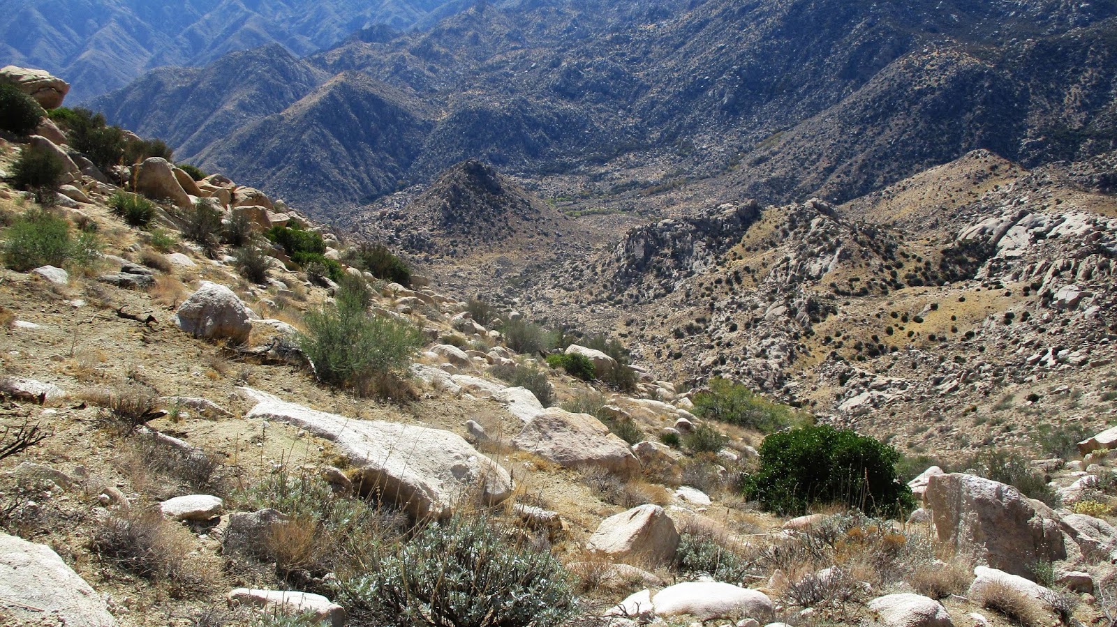
I started down Collins to the steep west gully. Knob was sitting far below but didn't look too far. The descent was sandy but not bad. There were a few cairns around and a partial use trail came and went. When I got to the bottom, I began to cross the feeder wash to Sheep Canyon. I found a bundle of black tubing near the wash, often used in illegal grow operations. This seem like a particularly difficult spot for a grow operation and there were no other signs of activity. I started directly up Knob, choosing some unnecessary class 3 instead of contouring all the way around to keep it class 2. Knob was a cool summit and the views all around were great. Collins looked immense from below. I had expended too much energy climbing Knob and my heart rate was racing around 160. I rested until it came down and tried to eat the unappealing food I had left. My food choices need to be re-engineered because this was the second time this has happened to me this year. I had enough water to make it to the cache, so I ate some raisins and lifesavers and got on my way. I crossed the wash again heading toward the saddle below 4695. Without enough food, I found myself sluggish. Every couple of hundred feet of gain spiked my heart rate. This forced frequent stops to let my heart calm down. Lather, rinse, repeat. The terrain on the way back from Knob was mentally draining, mainly side hilling above the canyons and around massive rock structures. It was clear that I going to be late to the cache. After passing the saddle, I took a direct route to the cache, ending above the boulder and slightly higher than the cache. I didn't see Sean and yelled out for him. Nothing. I dropped down to the cache to retrieve my water and found a note. He had waited until 3:20 PM but was worried about making it out before the sun went down since he was without a working headlamp. It was about 4:00 PM. He had left me some almonds and an extra bottle of water. While he was probably concerned about me, I was also concerned about him being able to find his way out and back to the road. He mentioned earlier that he could work with the landmarks like Pike to keep him going the right direction. However, the right direction and a safe direction were two different things.
Near the top of Knob
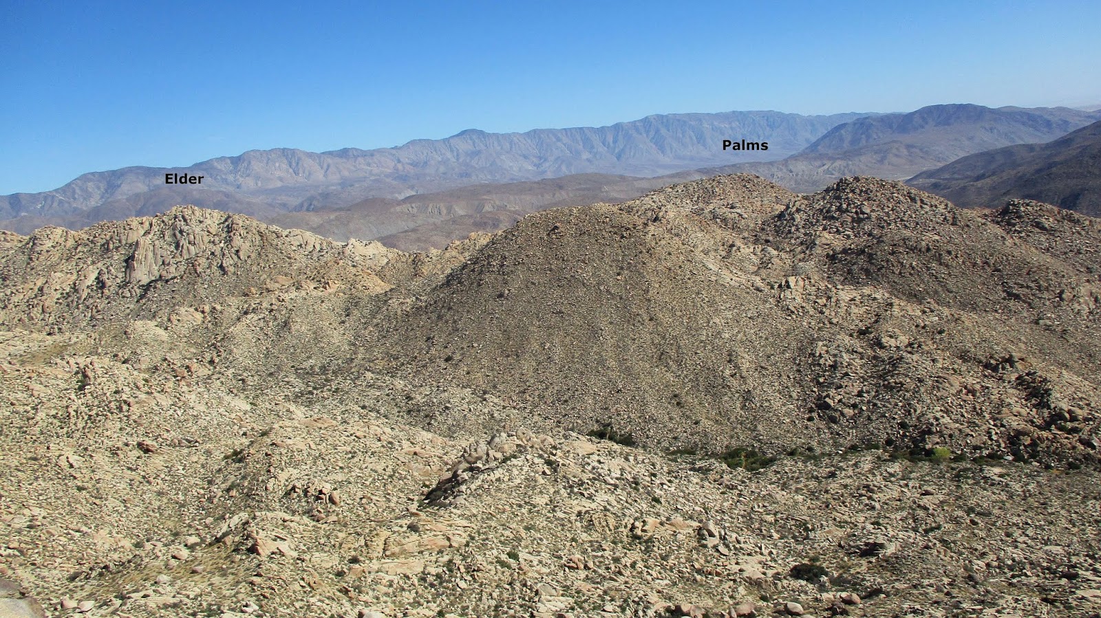
Looking back at Collins
Getting back to the water cache gave me a mental boost. I shuffled up and down the bumps on the way back, mostly up. Following the path back was relatively easy with the GPS. I was checking the sand to see if Sean's footprints were there heading back. I spotted them in a couple of key washes, but not others. Still, it was encouraging to see he was making progress and not lost. I stopped and loaded batteries into my headlamp and fired it up at dusk. I didn't want to spend a lot of time in the brush while it was dark. As the last light faded, I saw the telephone poles on the road and heard Sean calling out. I answered and in 15 minutes, I was out. We exchanged stories of the return and walked the road back to the car. Sean had formulated several different rescue plans in case I never showed up. If Sean wasn't there, my plan was to wait a while on the road before activating my emergency beacon. Fortunately, none of our contingencies were needed. I was glad to have Collins and Knob in the bag, but my lasting memory will be the slow, painful, slog out from Knob. On the drive home, we stopped at 5 Guys and loaded up on burgers and fries. They served us despite our ground in dirt and caked blood.
The saddle below Peak 4695, closing the loop