Same here Jeff. This is last year in the Eastern Sierras on my route to Dingleberry Lake. There were many sections were you had to navigate the correct route. A few areas had very few rocks in a line that were supposed to send you in the right direction.
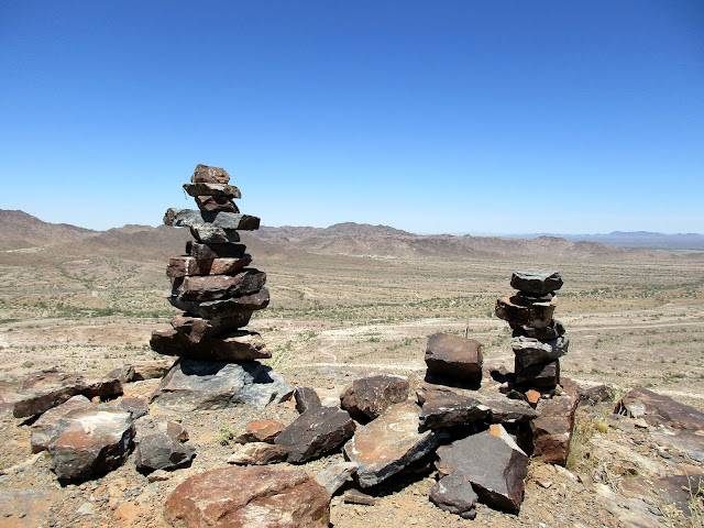
Officially this is on Webb Canyon Road, the dirt part well behind the school after it branches off from Miller Ranch Road. There were more than 50 of these set up along the big uphill to the power tower, some significantly larger than others.
"Argue for your limitations and sure enough they're yours".
Donald Shimoda
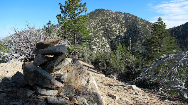
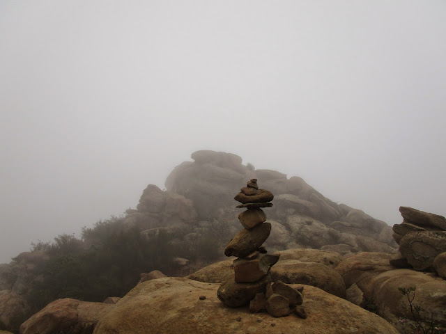
The Rubio Crew finished brushing the lower Old Echo Mountain trail on Saturday, then on Monday Cecelia and I came down it from the Sam Merrill. Between these two visits someone created a new cairn along the trail. It's a small, delicate thing that some animal will probably knock over with a powerful urination.
Along the John Muir Trail, north of the Palisade Lakes area. I don't know if it was to suggest going across on the tree or taking the actual trail to the right, I did the latter.
"Argue for your limitations and sure enough they're yours".
Donald Shimoda
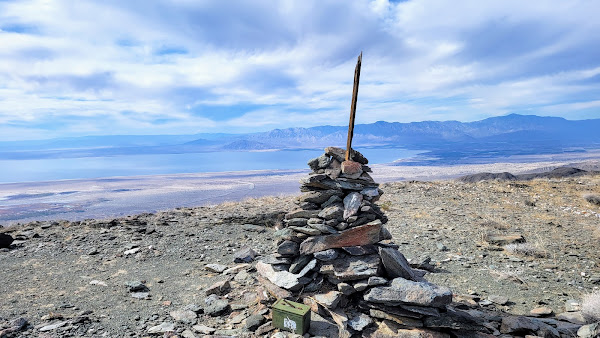
Found this modest pile o' rocks on Islip Ridge. Nothing fancy. Just a good, old-fashioned cairn. Not too small, not too big, and probably completely unnecessary.
Sean wrote: ↑Found this modest pile o' rocks on Islip Ridge. Nothing fancy. Just a good, old-fashioned cairn. Not too small, not too big, and probably completely unnecessary.
I think I know exactly why you have stacking rocks on the brain... ?
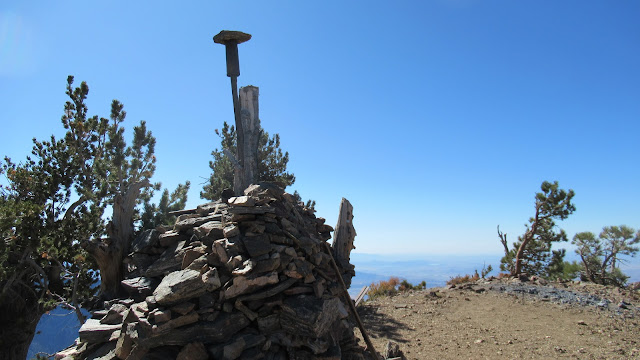
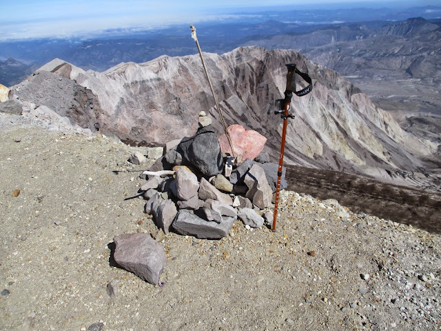
JeffH wrote: ↑Is this a cairn? Baden-Powell summit.
Related question - when did it grow? For years the elevation was 9399, now the signs both say 9407.
DSC09073.JPG