

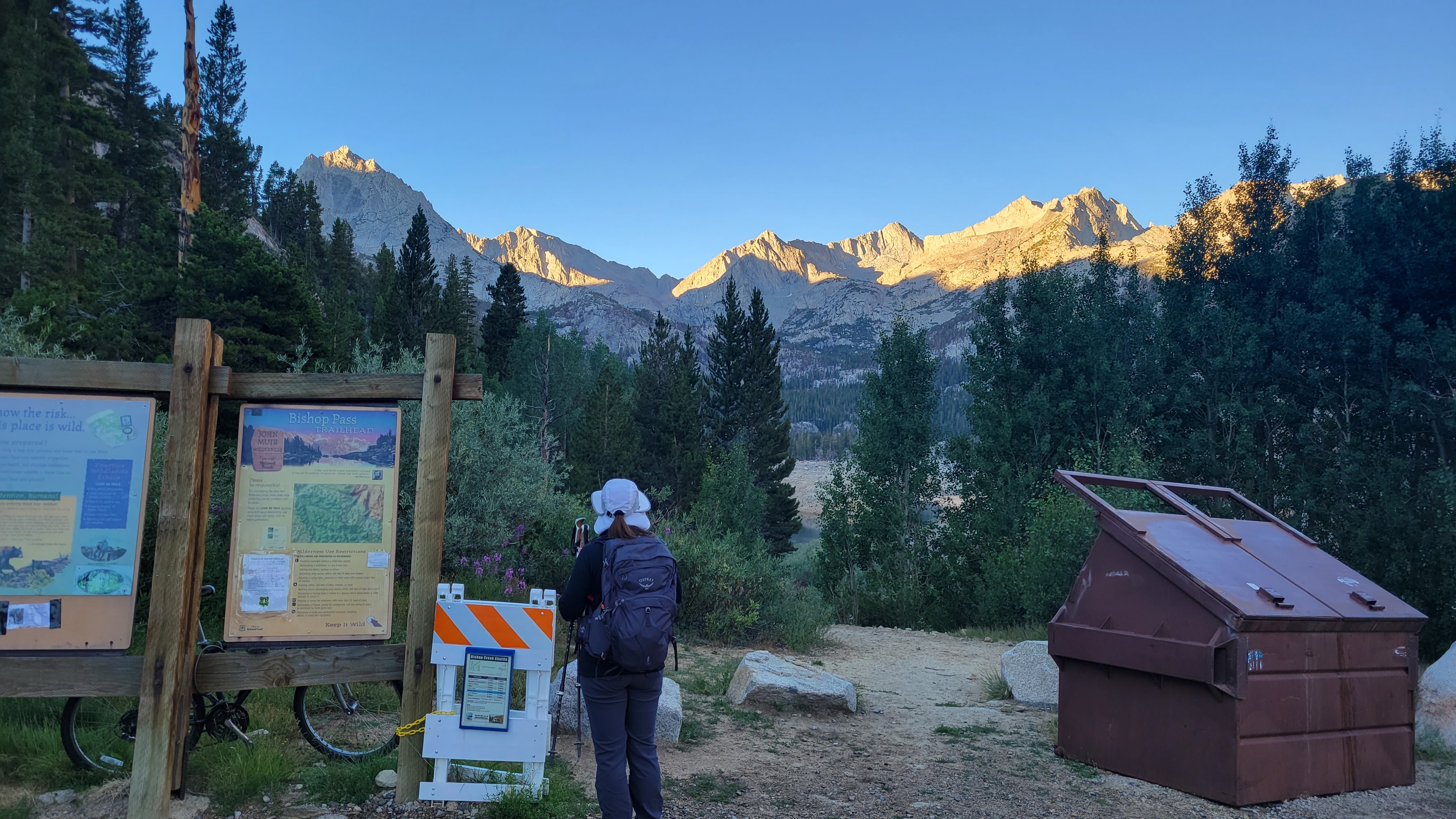
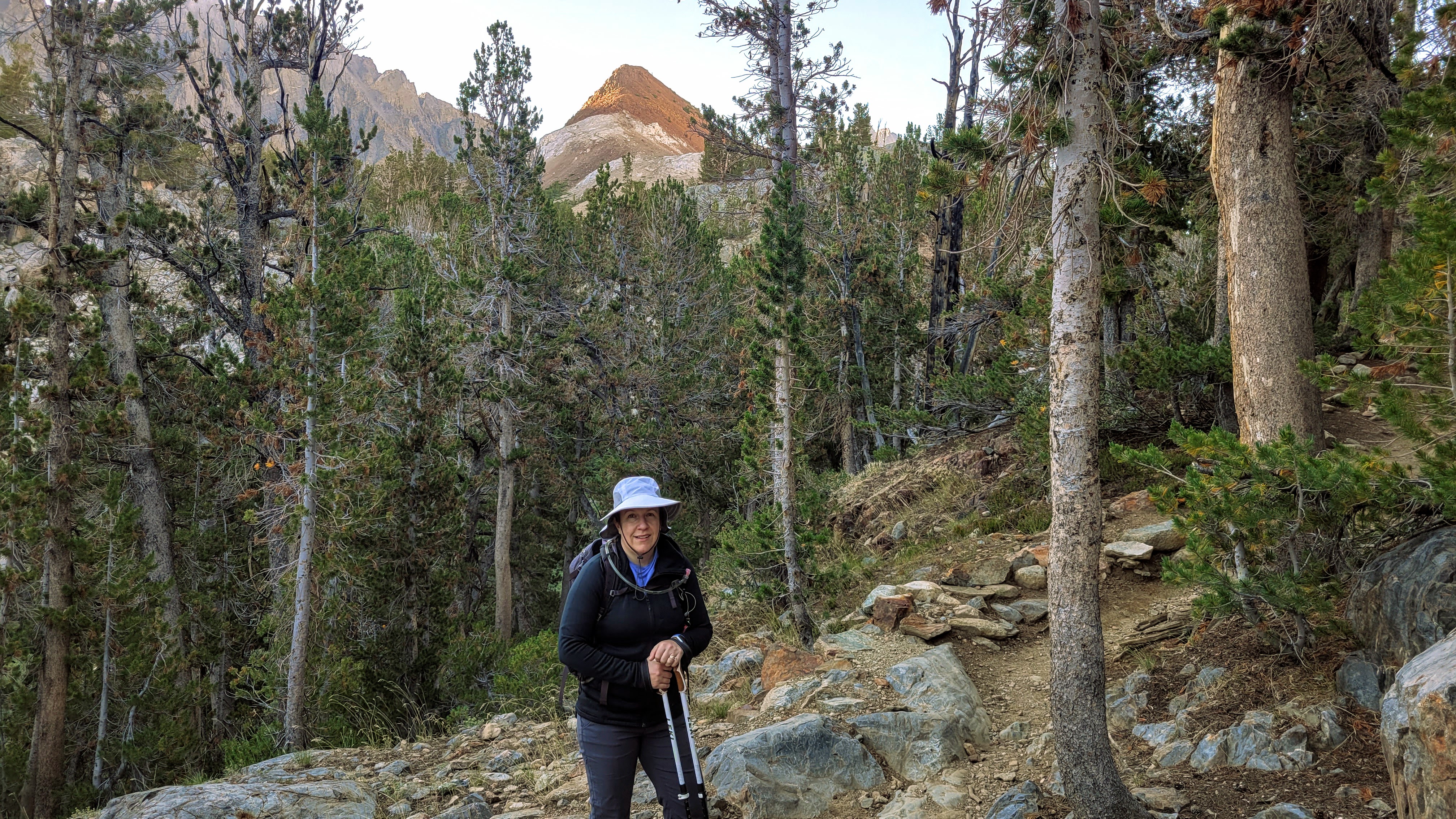
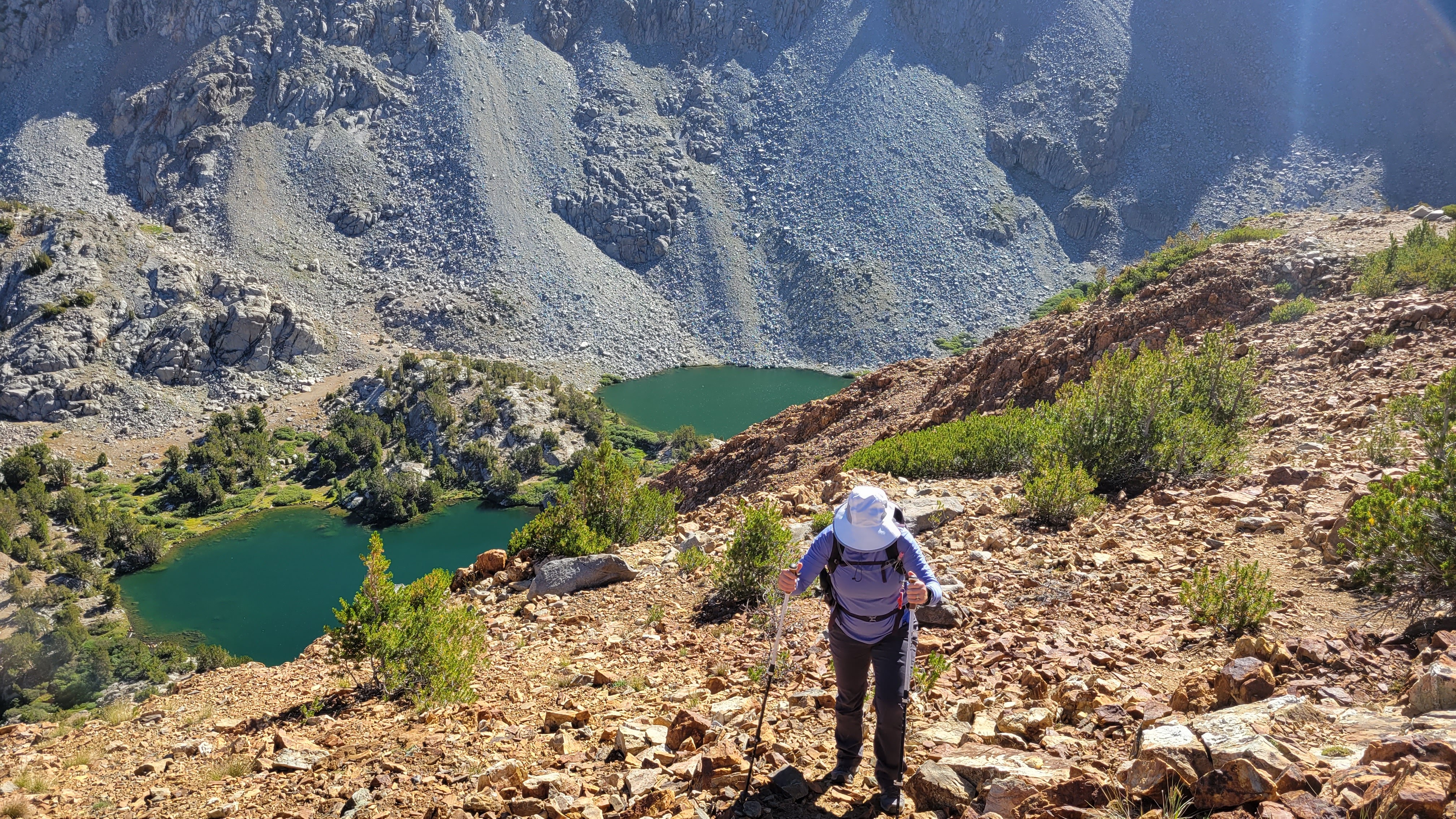
As an aside, we had been training for my wife's attempt on Whitney. In the last month, she broke her pinky toe and we both got covid, so our planned 9/1 attempt is probably not going to happen. My wife wanted to test out her toe on Chocolate (11682'). We started at South Lake on the Bishop Pass trail. Then, we took the Ruwau Lake junction to wind around to the south slope. The official trail doesn't go to the summit so I led us off trail where the going looked easy. Soon enough, we were on the summit with wonderful views of the surrounding lakes and towering 13ers. We found and signed the register in some PVC tubing, but did not find a benchmark. We returned on a better defined use trail, then back to the junction with Bishop Pass trail. My wife's toe held up with only a little soreness, but not sure about bigger hikes. She headed back, while I continued on to Mount Goode (13085'). I guessed it would take me 4.5 hours to round trip it from there, so we set a pick up time.
Ruwau Lake and Picture Puzzle behind
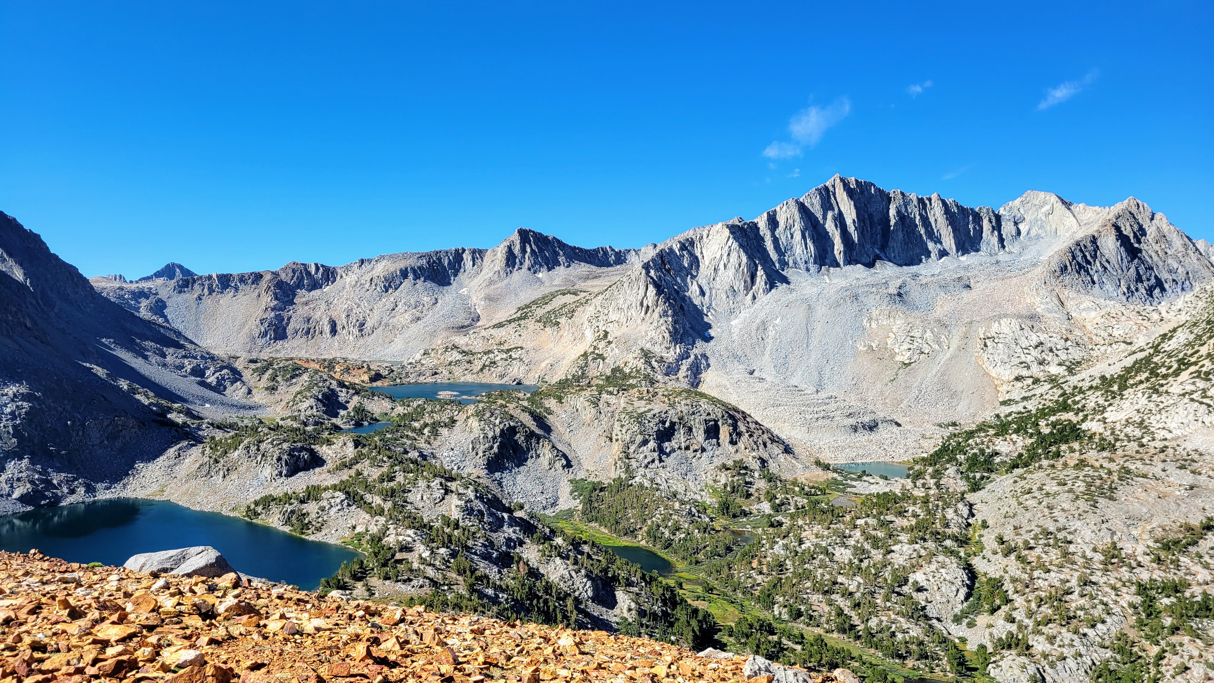
Mount Goode center right from the top of Chocolate
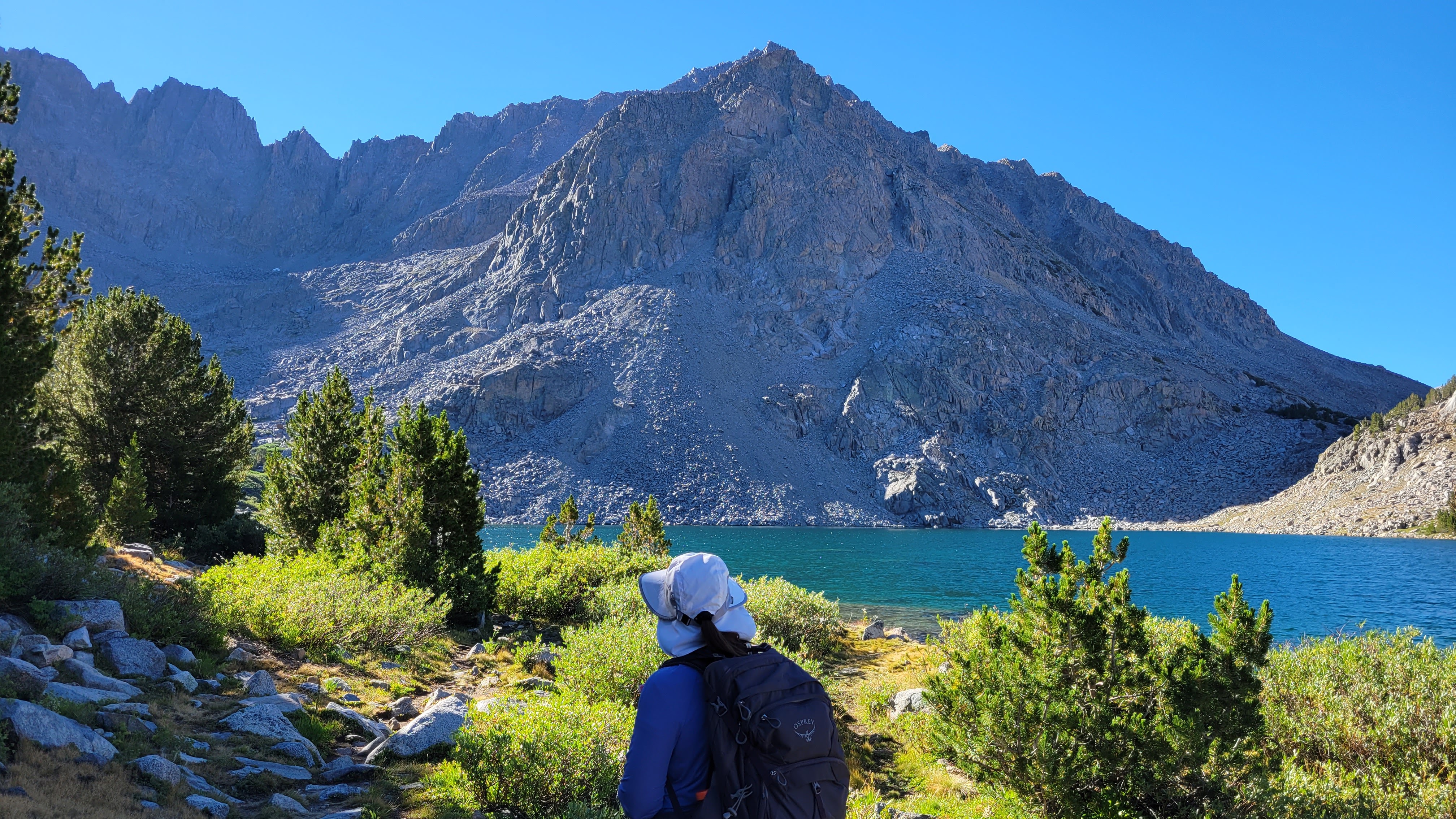
The trail ran past the rest of Long Lake, Spearhead Lake, and Saddlerock Lake. I filled a water bottle from Saddlerock, then left the trail at 11200' to cut between Saddlerock and Bishop Lake. The first obstacle was a low set of cliffs and small trees. There were multiple ways through and I dropped my trekking pole anticipating the boulders to come. Next was 400' of steep sand and a second set of trees. I stumbled on a use trail in the sand and followed it. Above the second set of trees was a long basin. Multiple high points were visible along the ridge line and it wasn't easy to tell which was Goode and which was No Goode. I expected more boulders, but the slope remained mostly sand and scree as it got steeper. When the boulders finally arrived, 400' below the top, it was a relief. I was tired, but the rock was solid, and much more fun to climb. At the summit, I met two young men who had come over from No Goode. We chatted about the other nearby mountains. They planned to hit Cloudripper the next day via one of the west chutes. Super great views of the Inconsolable range, Agassiz, Sill, Thunderbolt, and North Pal. I skied the scree down to the tree line and tried to make up time when I got back on trail. My water held out and I got back to South Lake 15 minutes after the pick up time. Saul Goode, man.
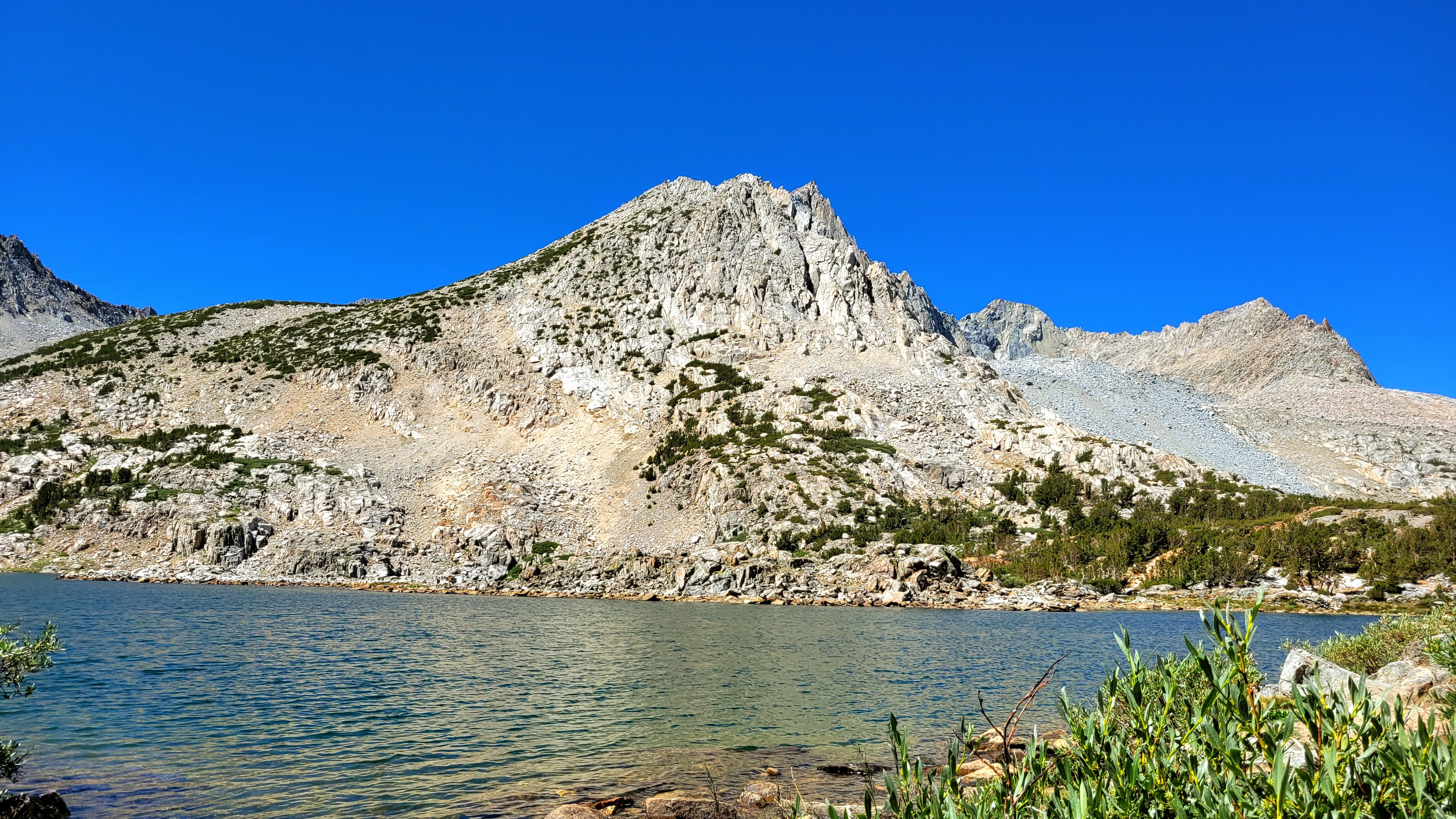
Goode on the other side of Saddlerock Lake
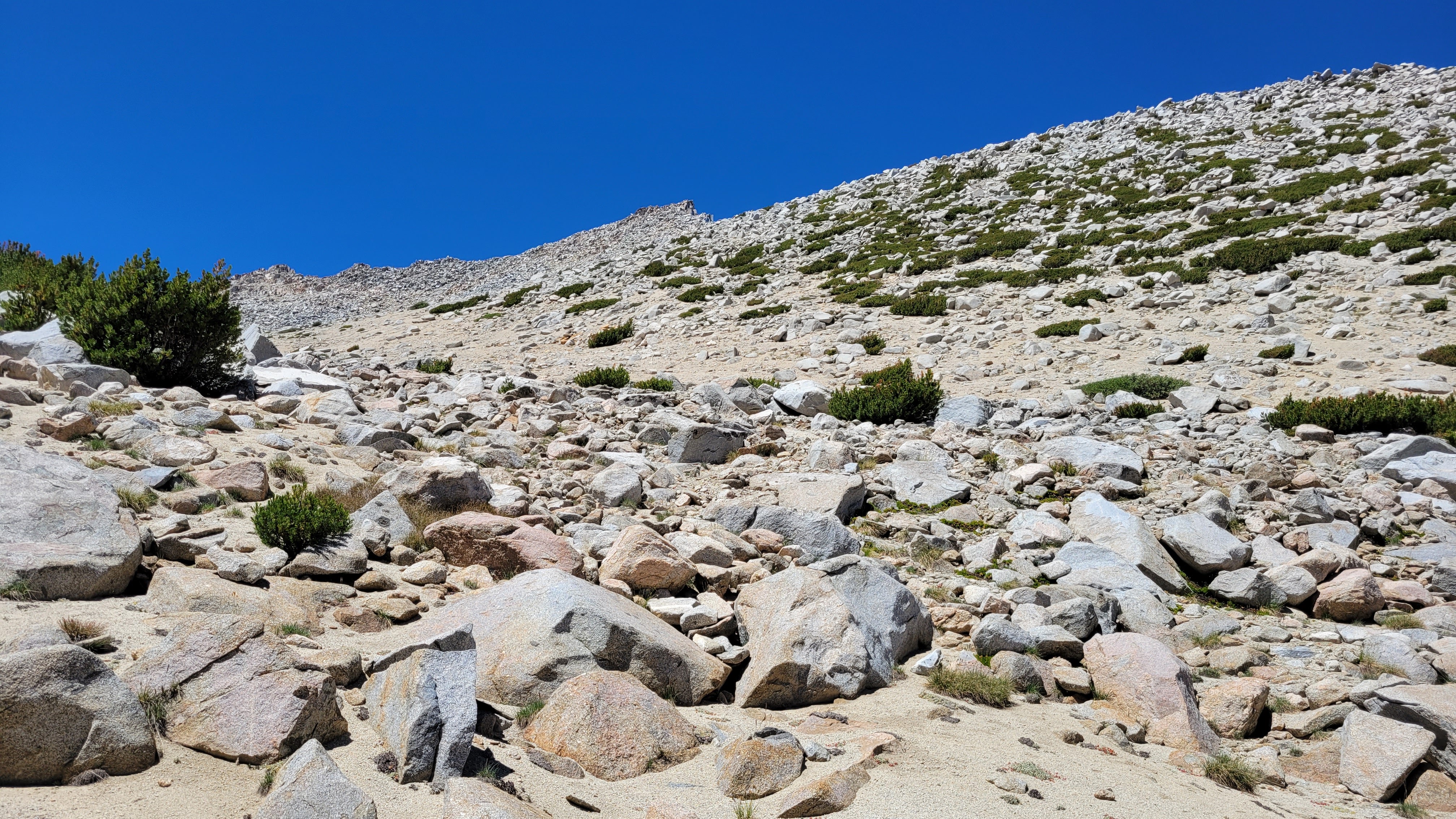
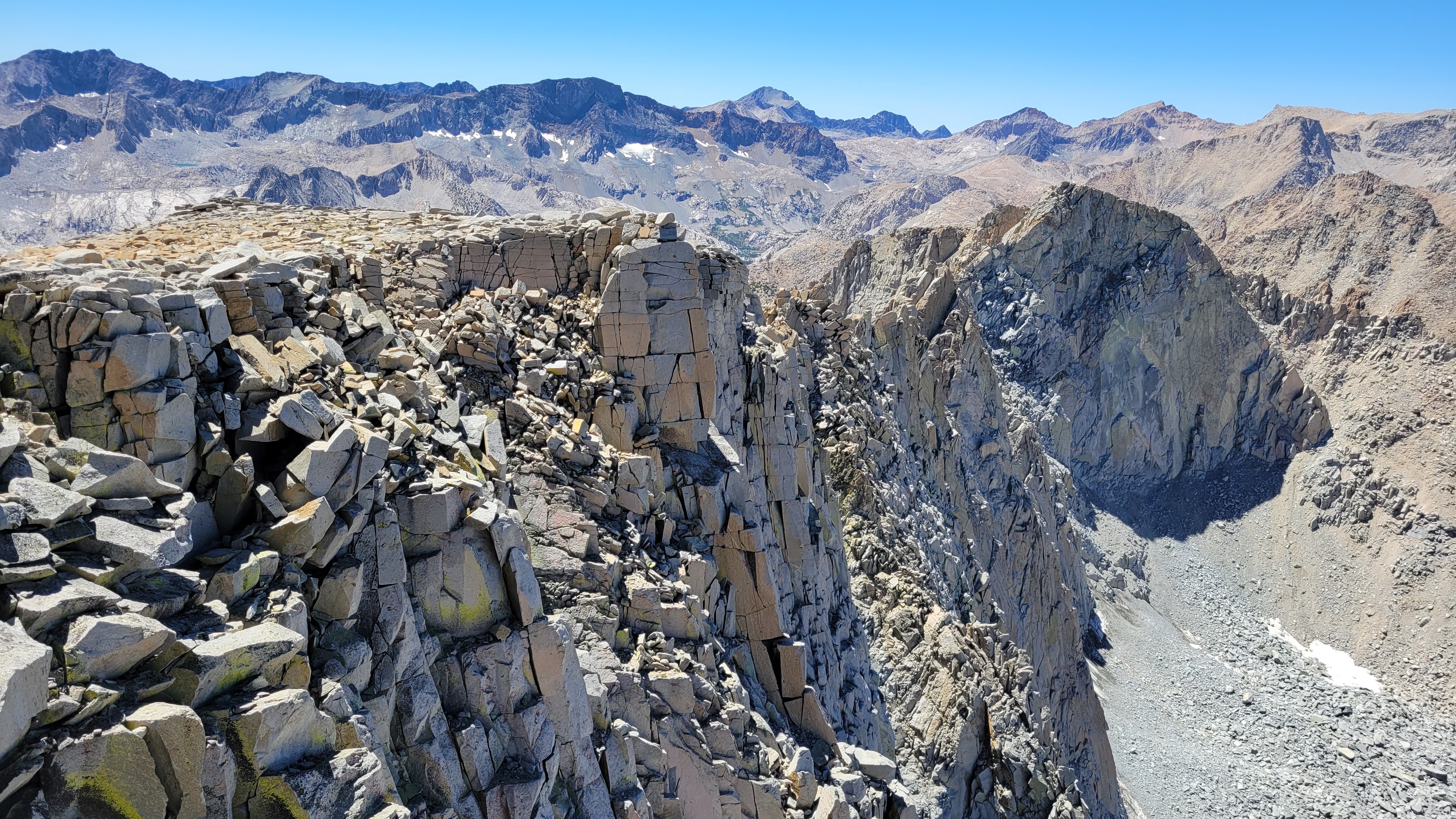
Long basin. Goode in the center
Sand and rocks
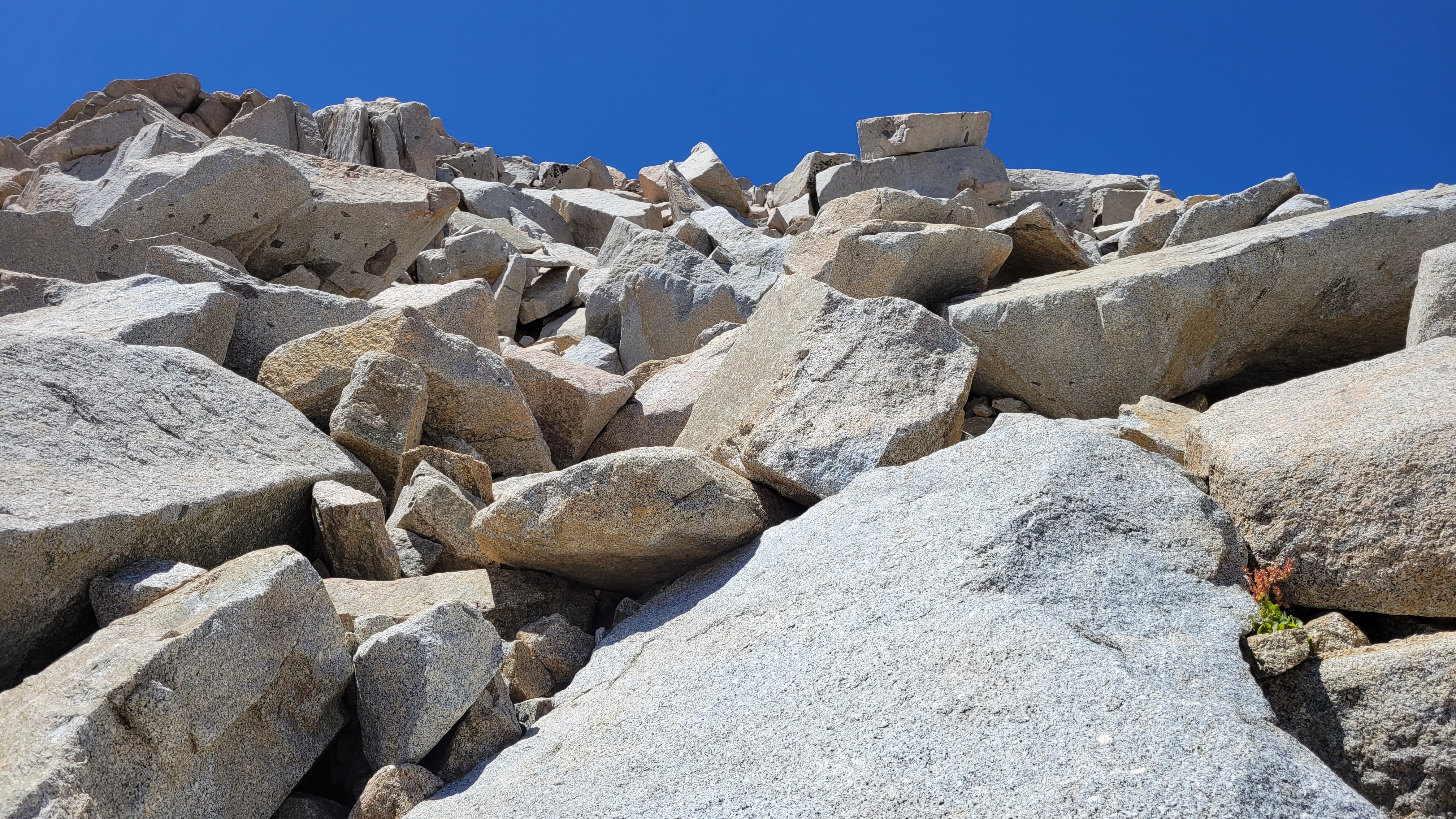
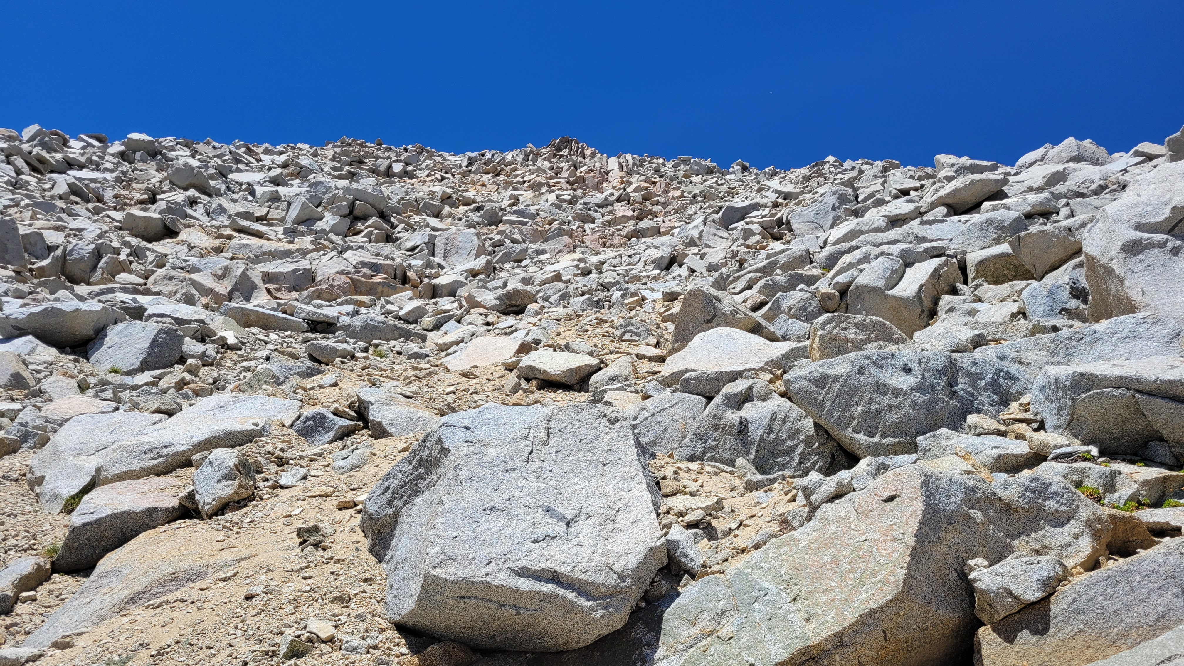
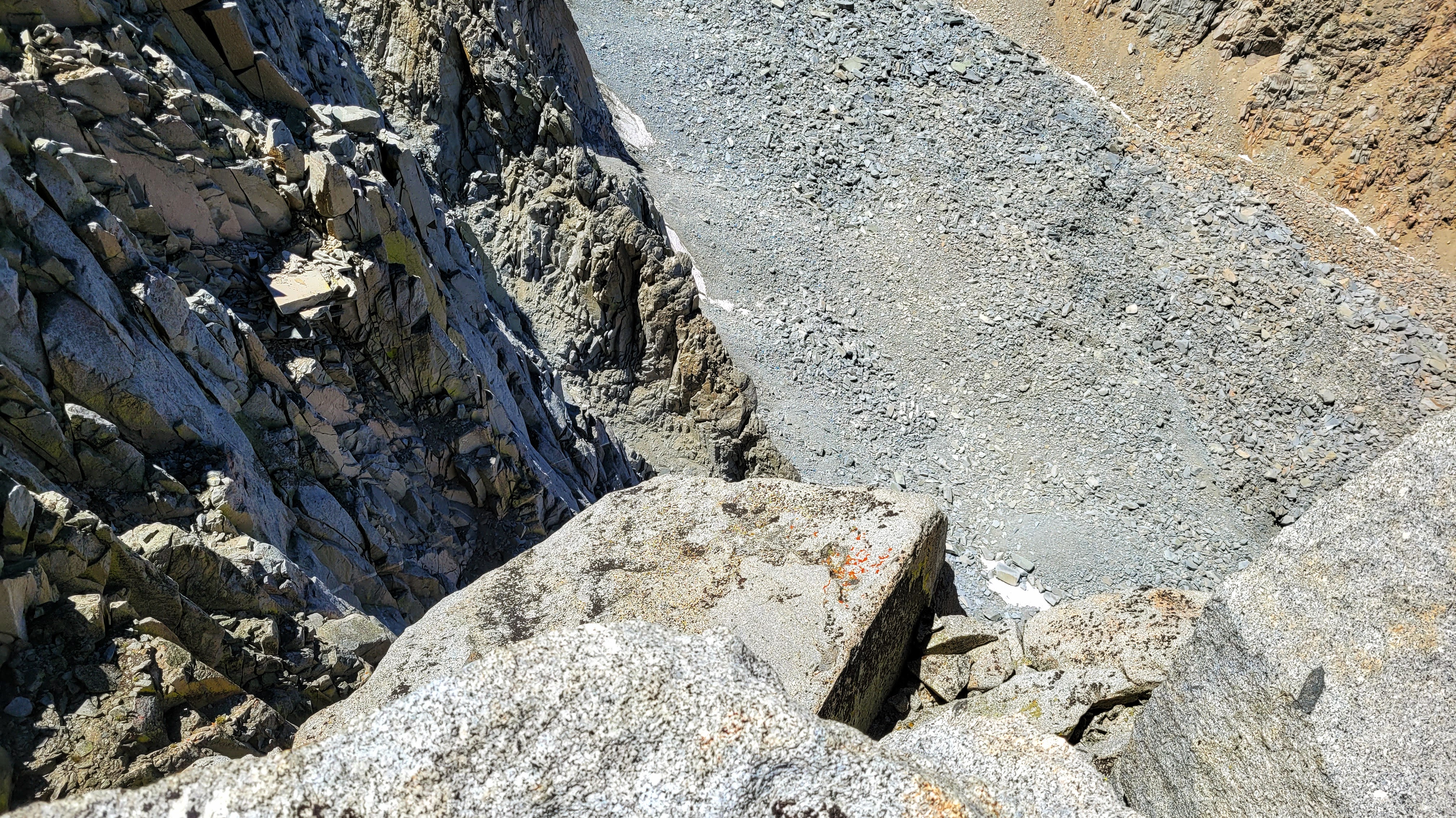
Rocks
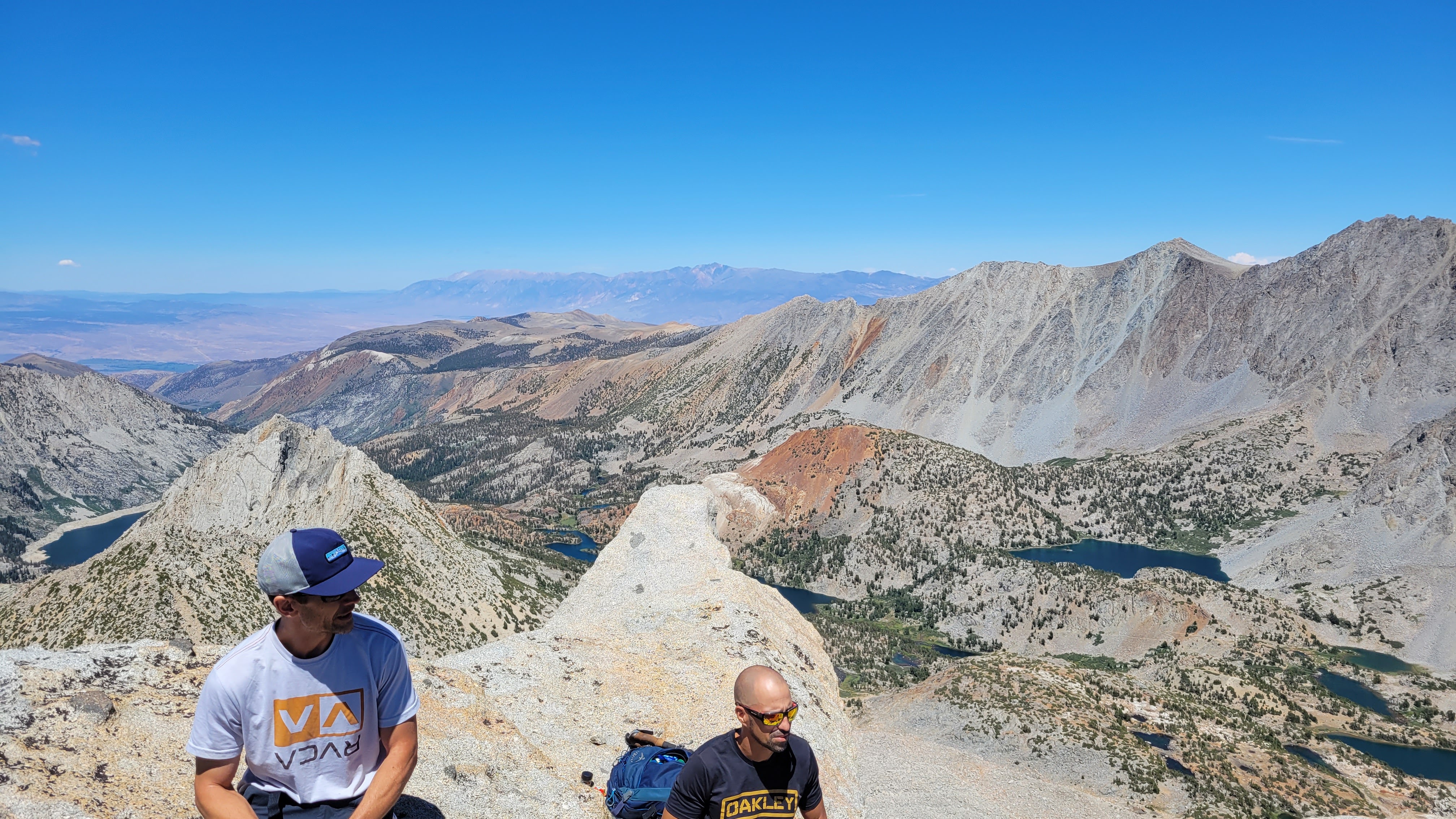
Young dudes, Chocolate below
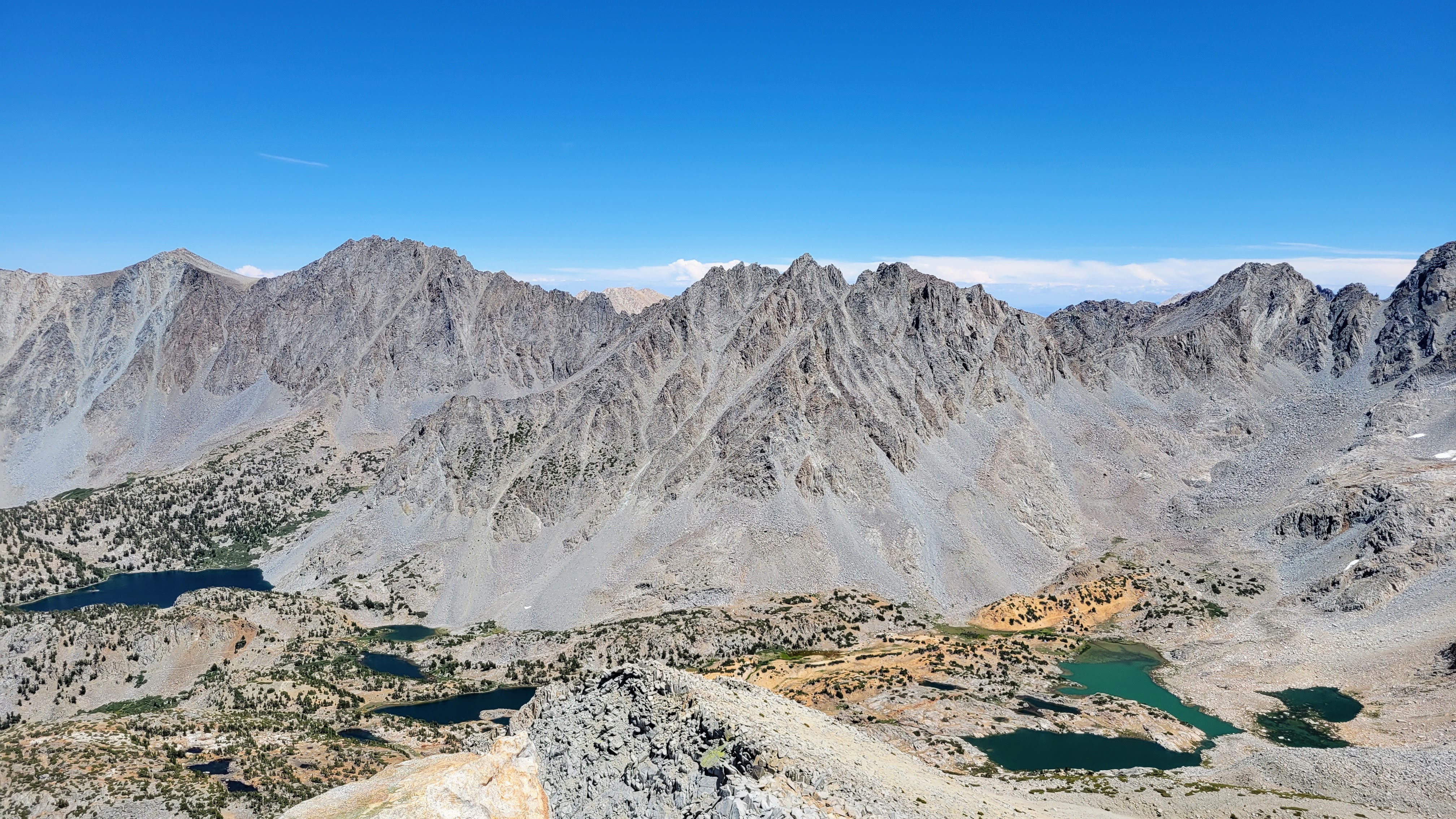
L to R: Vagabond, Cloudripper, Picture Puzzle, Aperture
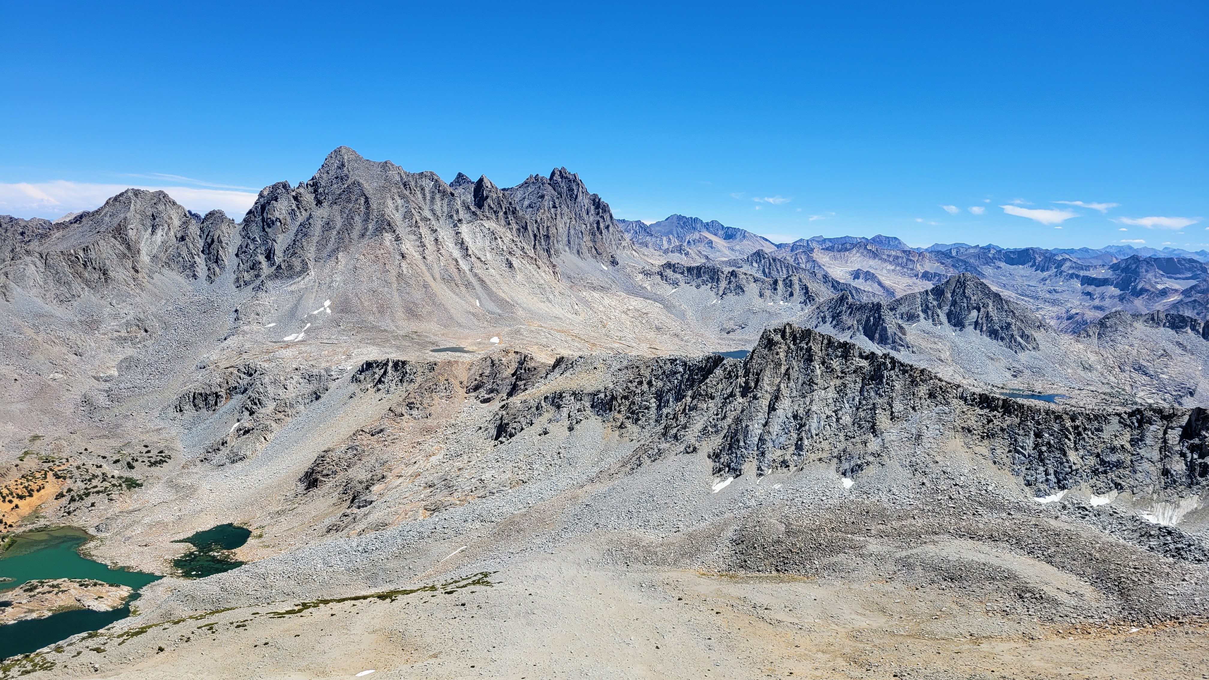
Agassiz, Sill, Thunderbolt, North Pal. You can see the Bishop Pass trail coming up from the lake.
Here is a YouTube video of Mount Goode


