- Incline Peak, NV (9561')
- Relay Peak, NV (10336')
- Mount Houghton, NV (10490')
- Rose Knob Peak, NV (9710')
- Rose Knob, NV (9600')
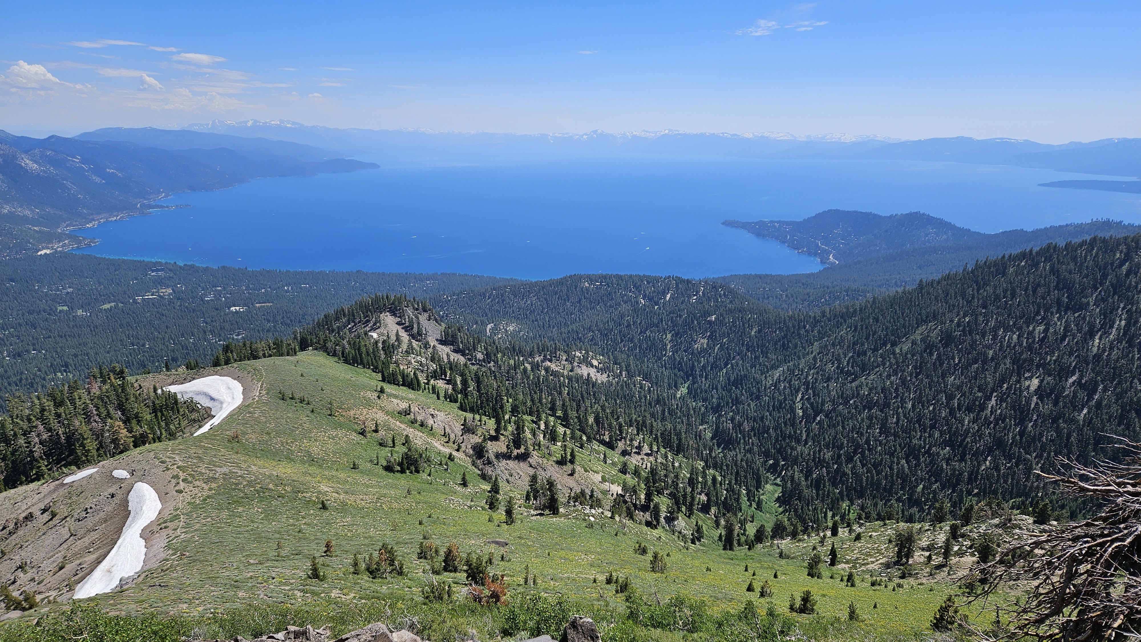
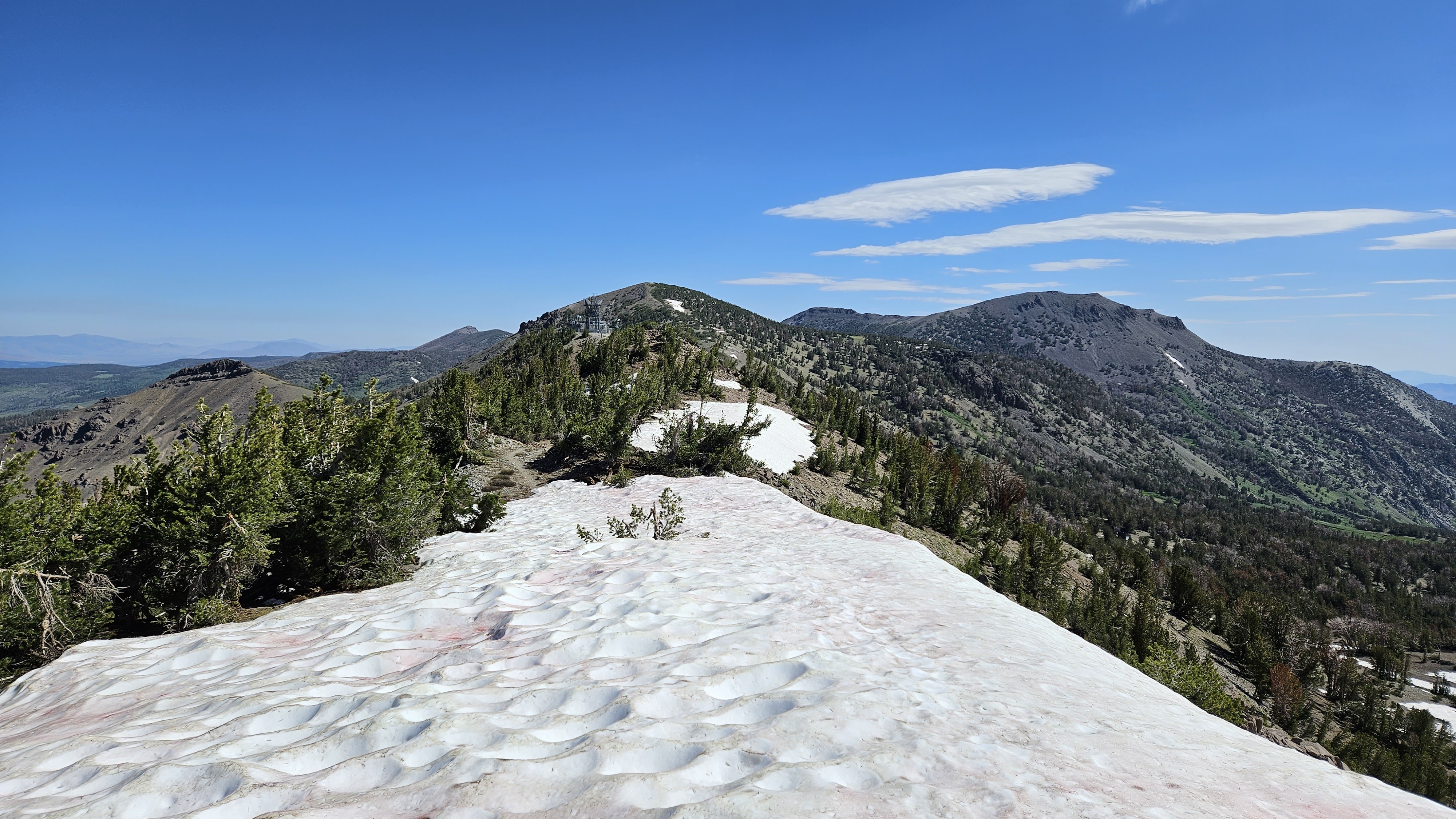
Approaching Incline Peak
Descending from the heights of Incline, I set my course northward along the Tahoe Rim Trail (TRT), bound for Relay.
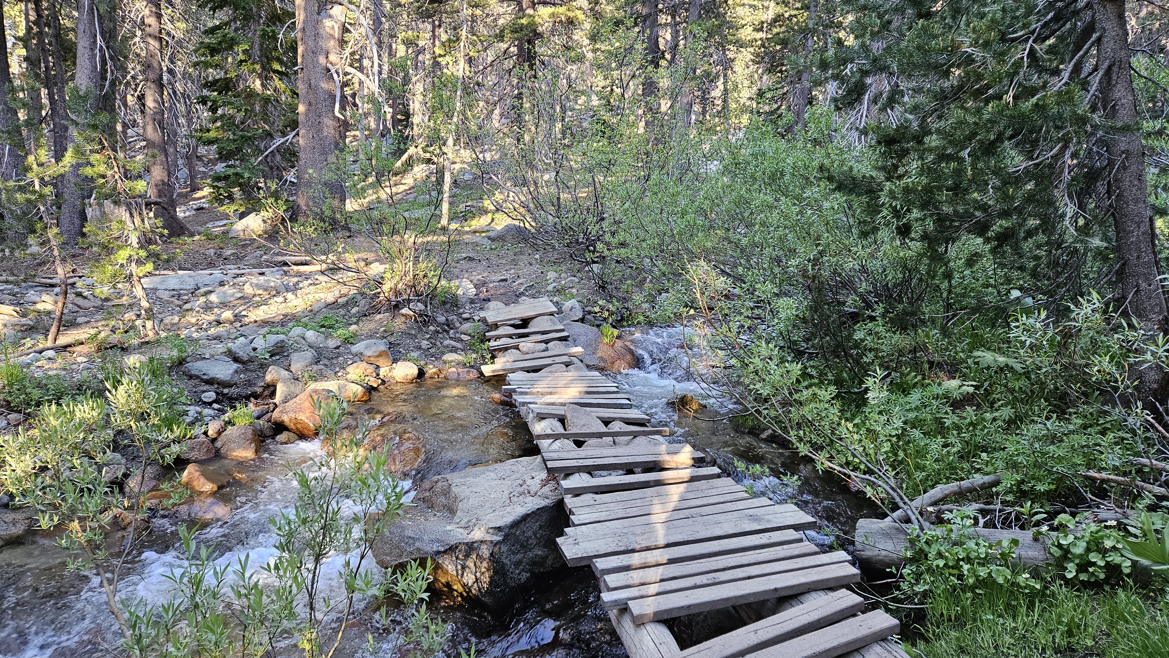
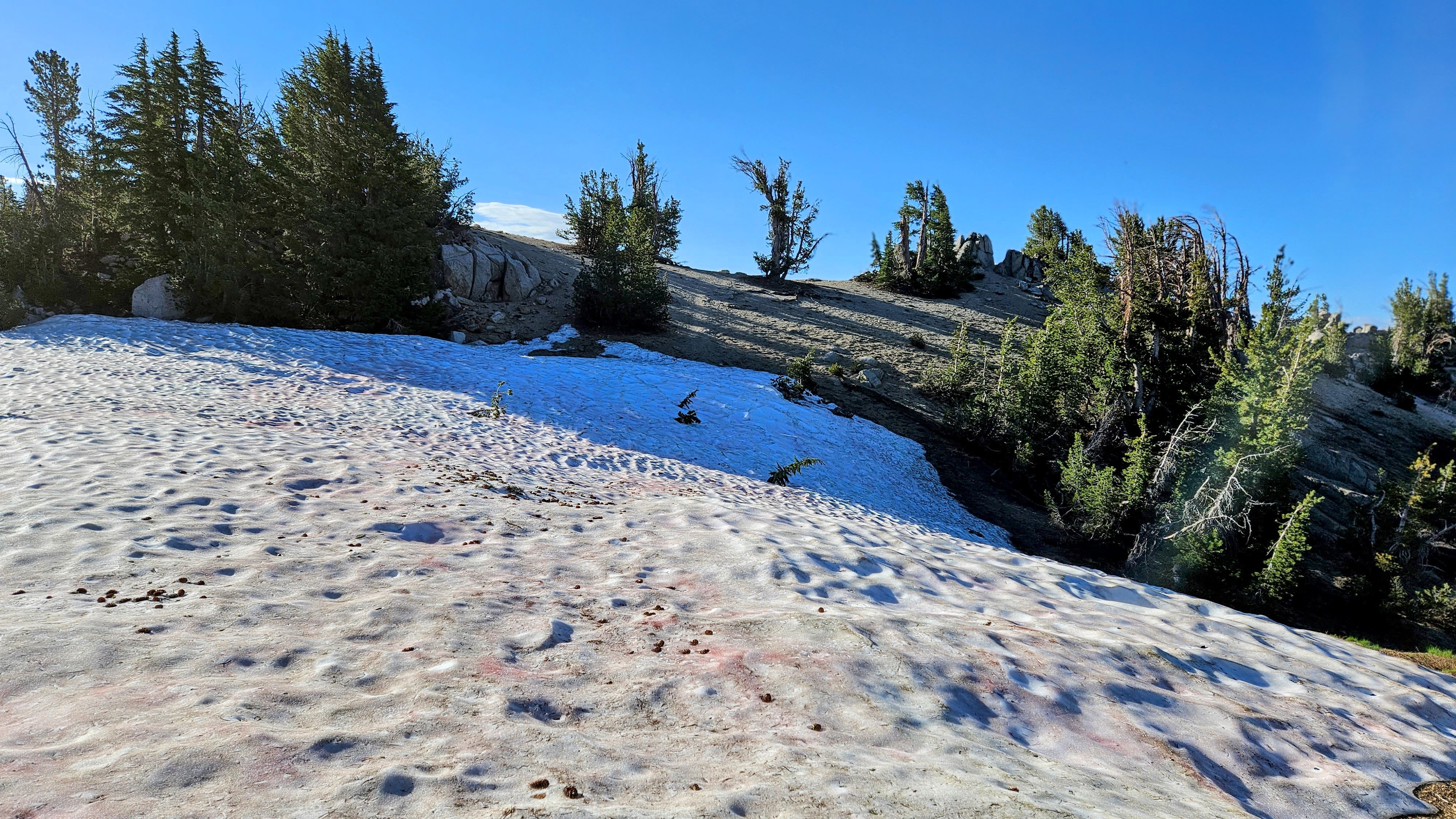
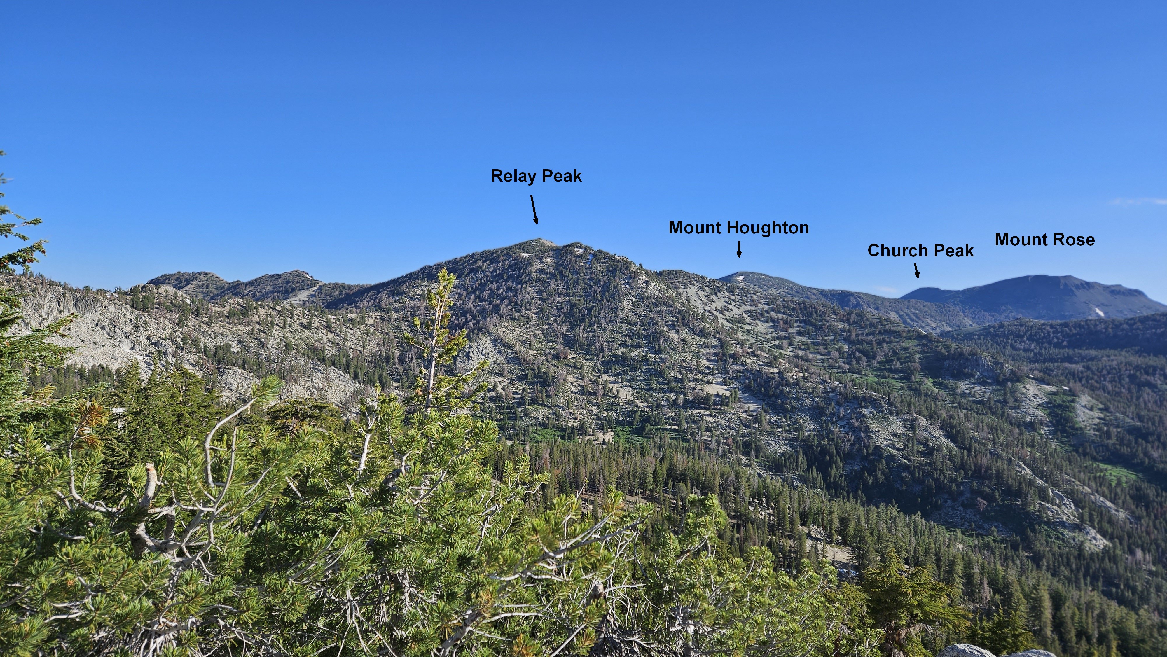
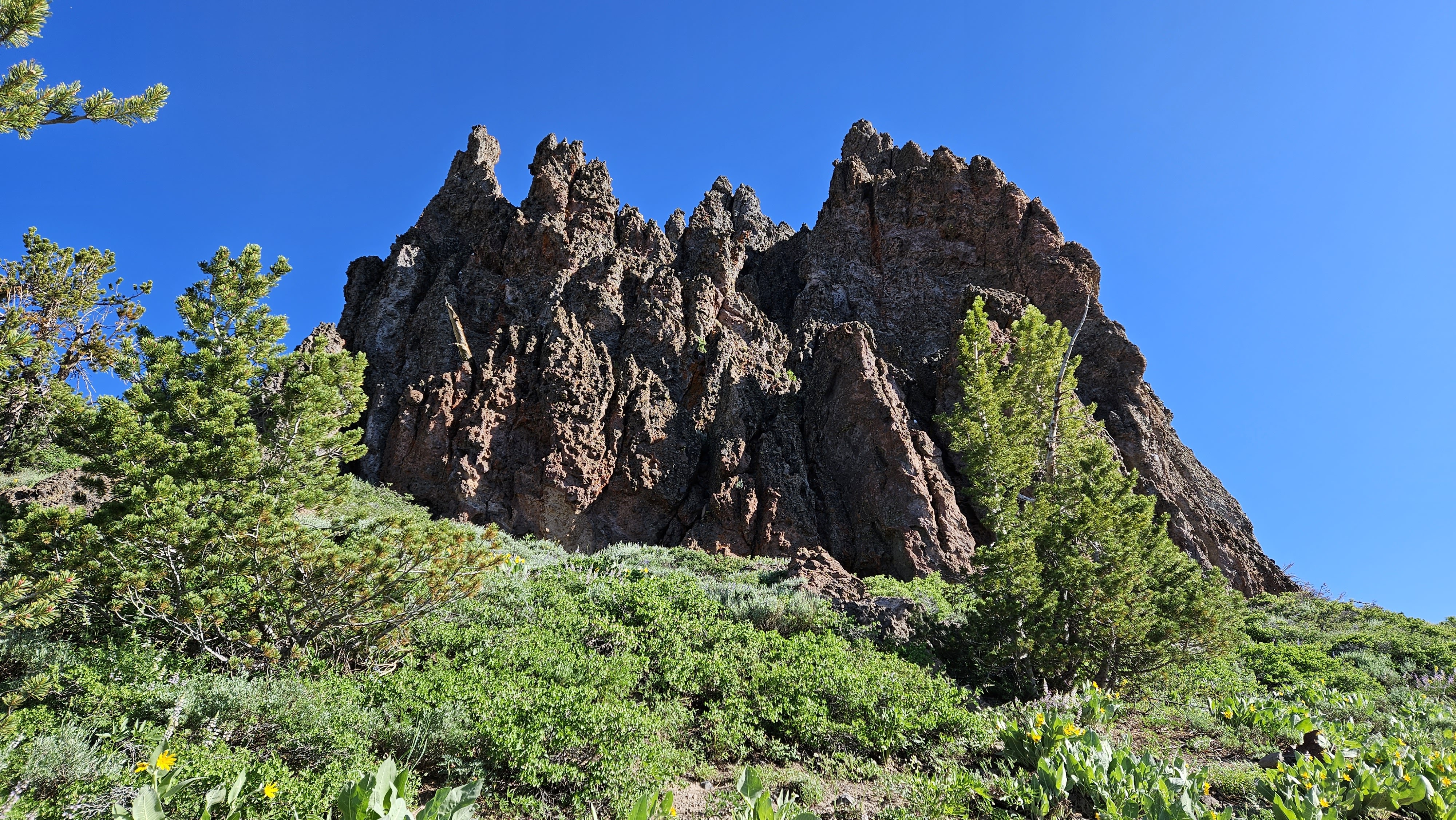
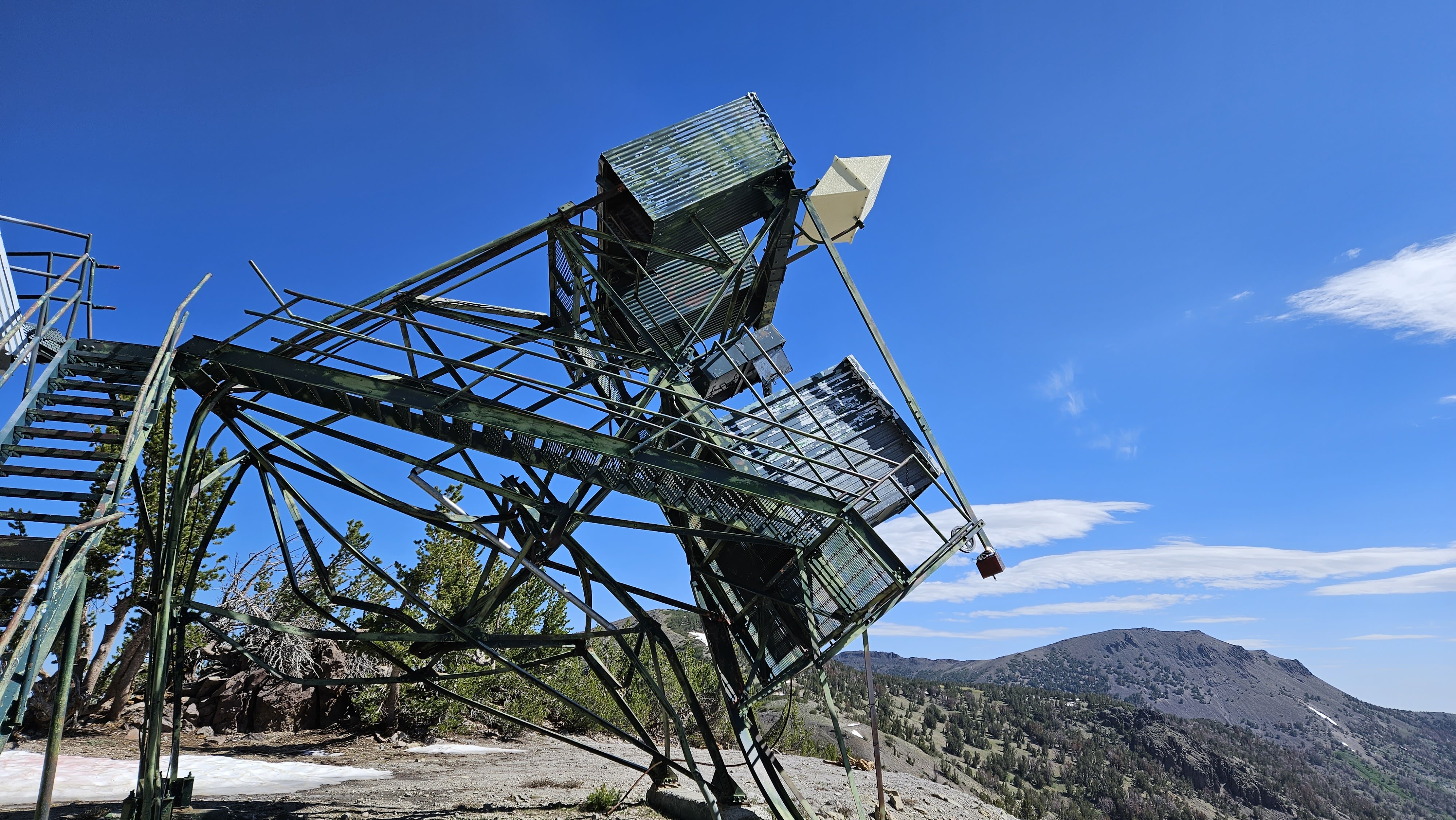
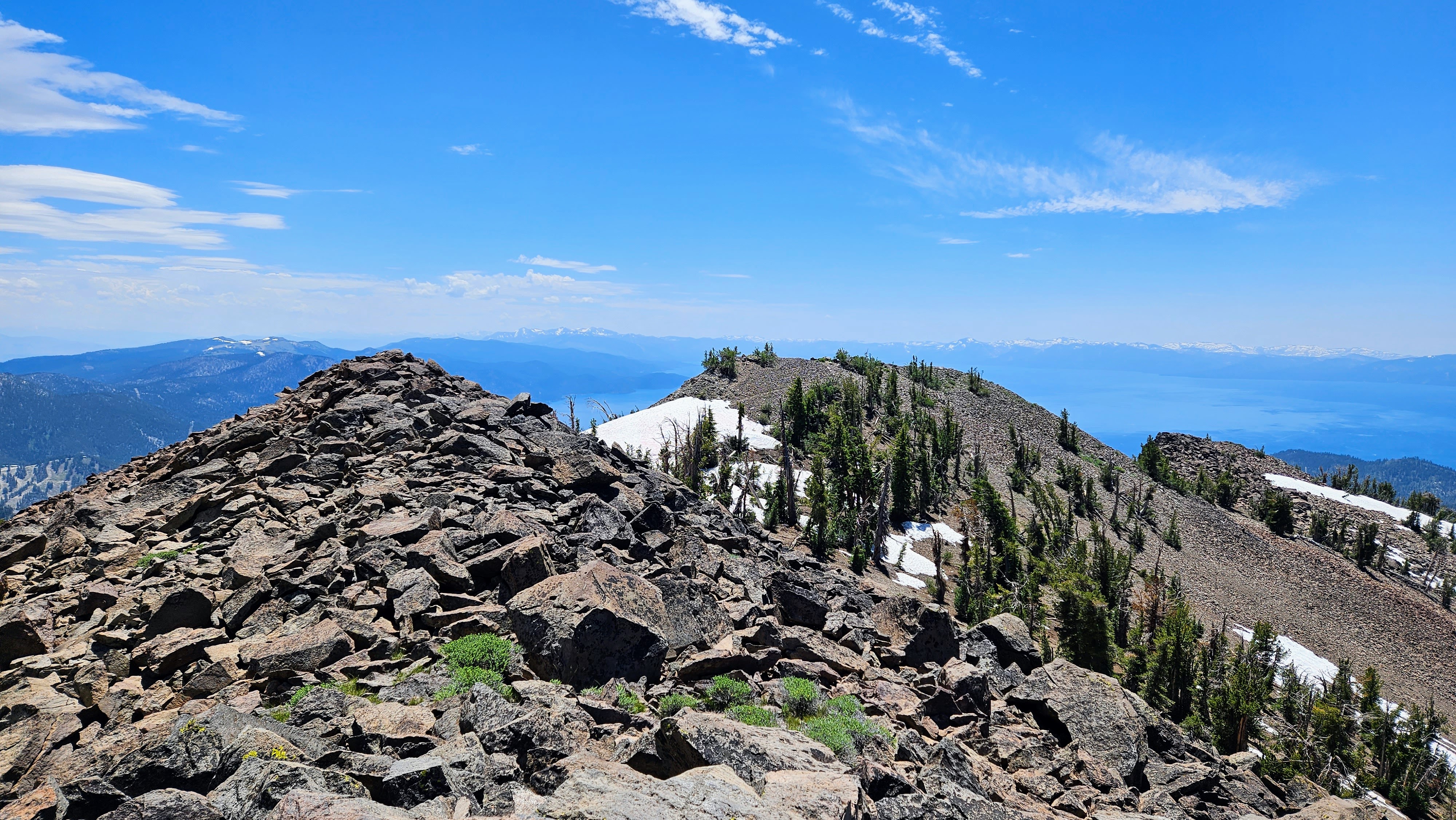
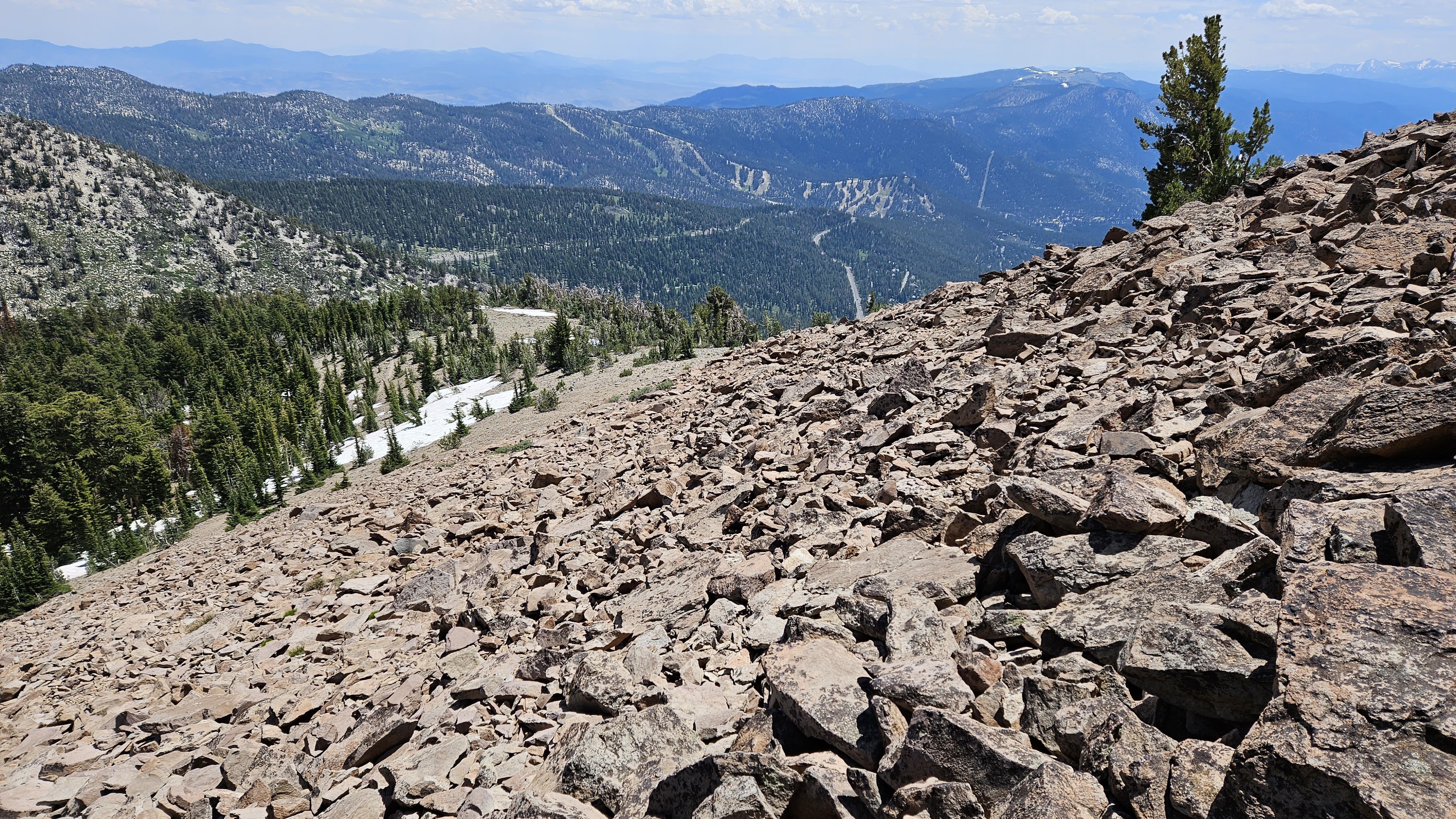
Rock formations lined the trail, a siren's call to adventure. At the foot of Relay, two deep snowfields had swallowed the trail, but they were easily circumvented. The path to the summit was a series of long switchbacks, leading to a modest summit area crowned with a cairn of rocks. At the summit, my gaze wandered over the peaks that surrounded me. Mount Houghton stood in the distance, its prominence was a lure I could not ignore. It was but 1.3 miles away as the crow flies, or 1.75 miles by the winding trail. The snowfield on the northern side of Relay was unavoidable, but it was a gentle slope adorned with sun cups. The descent to the radio towers at the saddle, likely the namesake of Relay, was painless. Upon closer inspection, a lookout tower that once stood as part of the main structure had collapsed. I continued toward Houghton, dropping my pack about a half mile below the summit. Houghton sported the same modest summit cairn as Relay, which looked more pointed from this side. By the time I got back over Relay, it was nearing noon and the snow was getting soft. I put on microspikes for one snow crossing where the runout led 100' below to a thicket of trees. Back at the junction, I turned east for two more peaks along the rim.
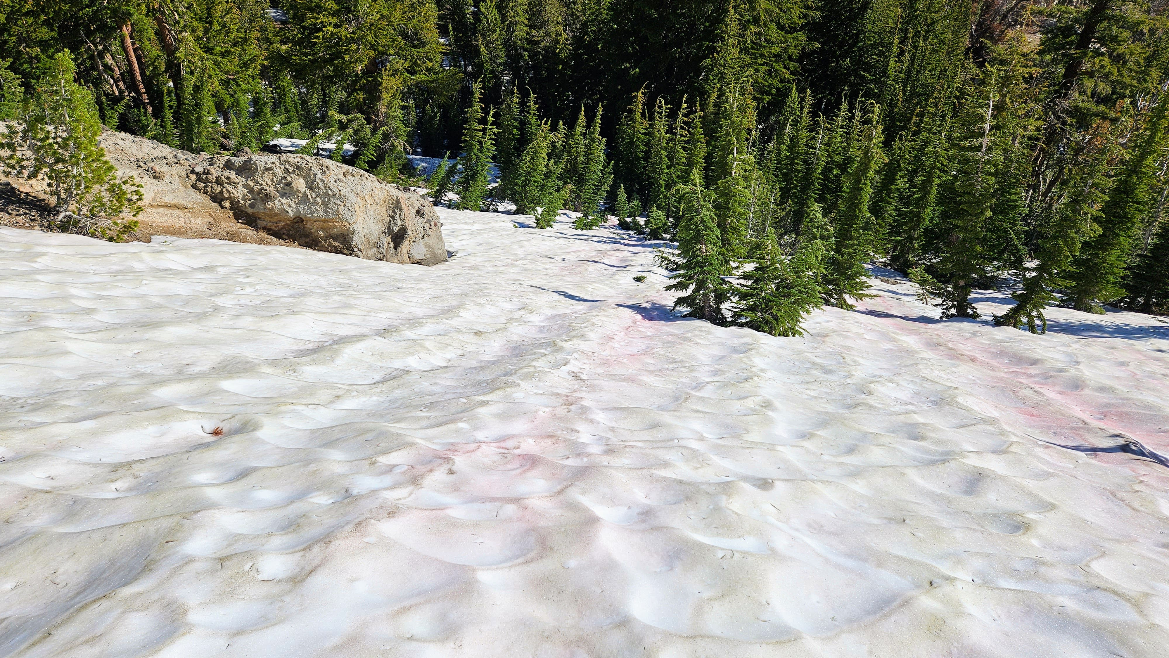
The one potentially dangerous slope
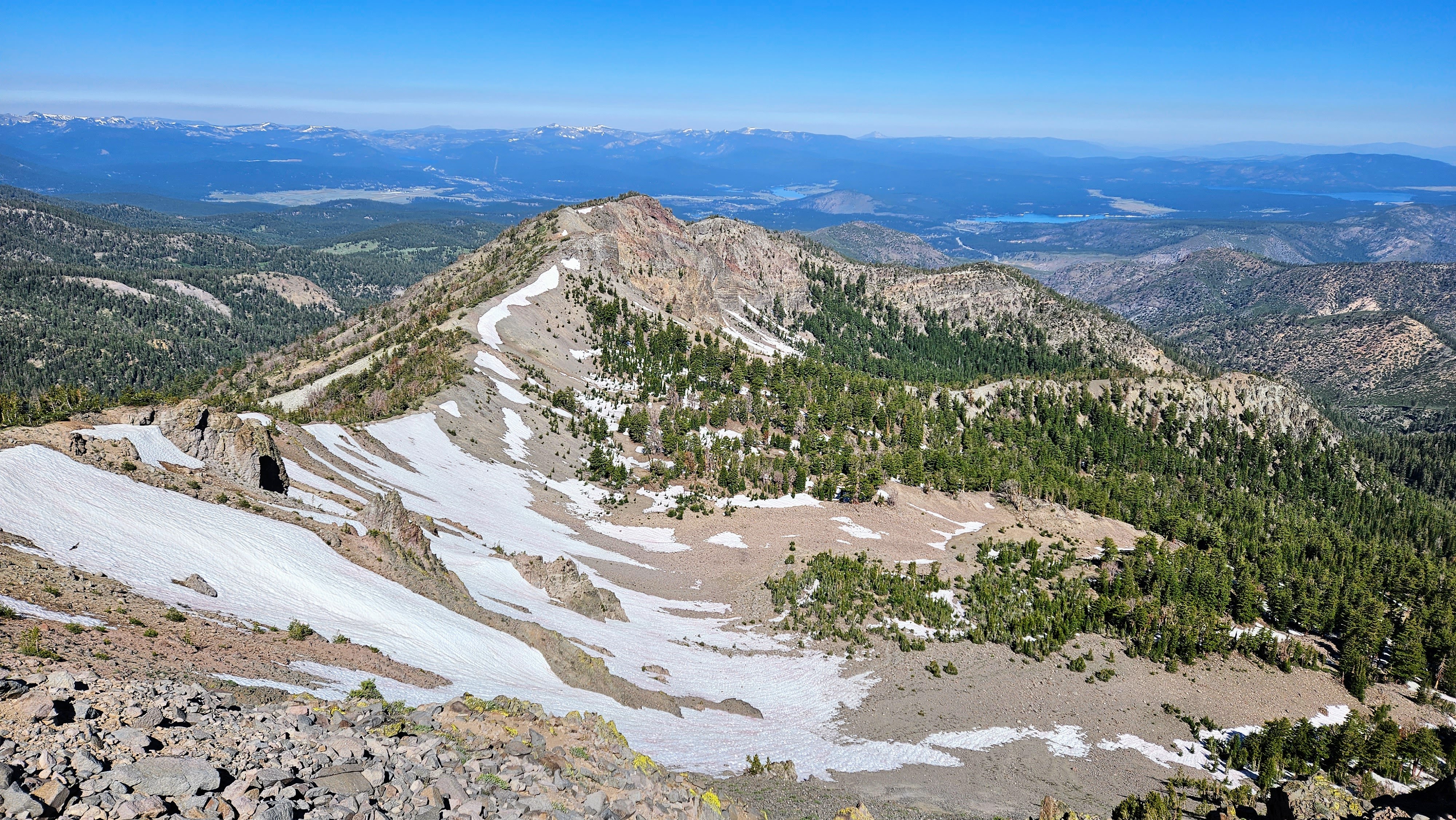
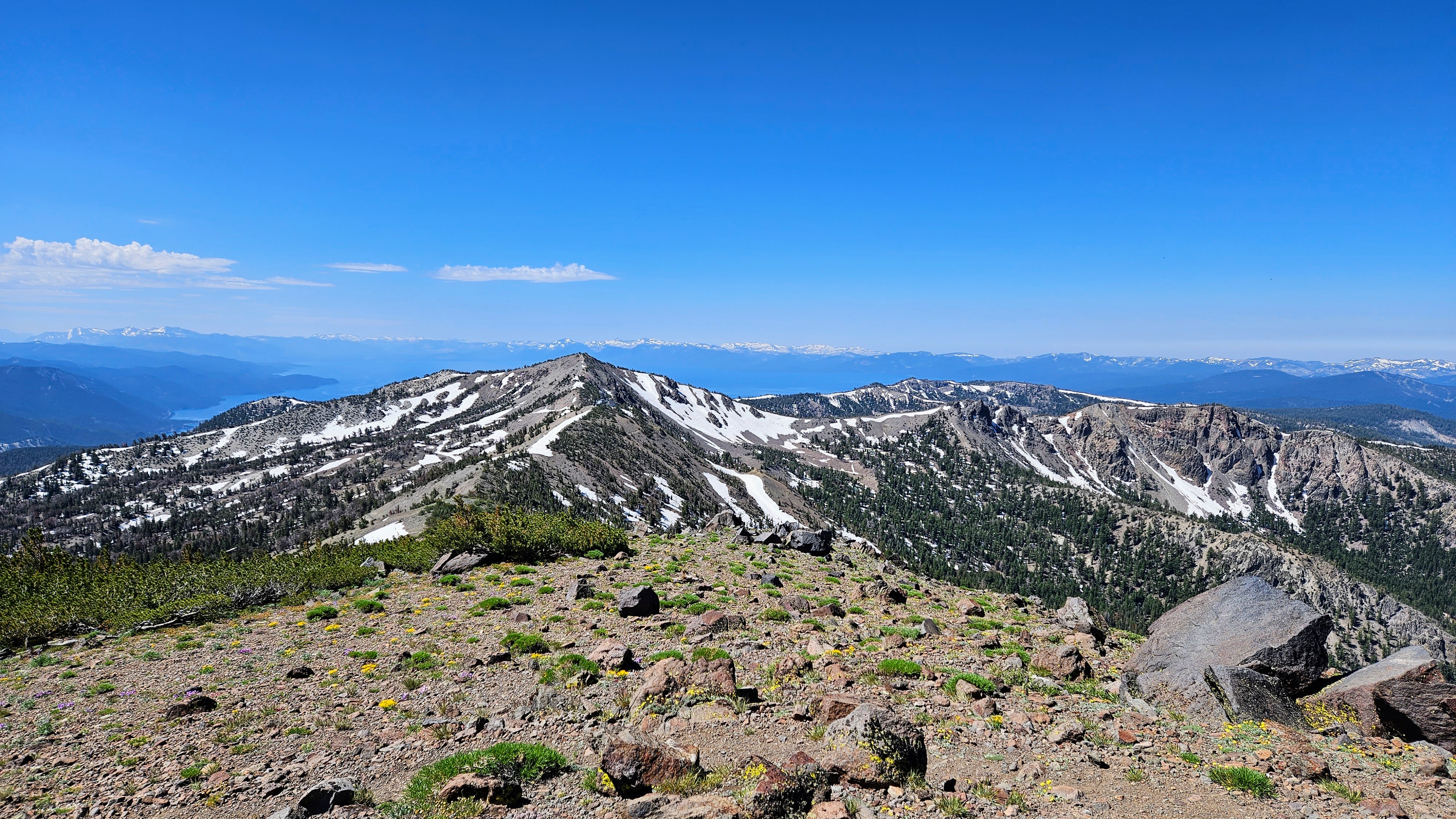
Looking back at Relay from Houghton
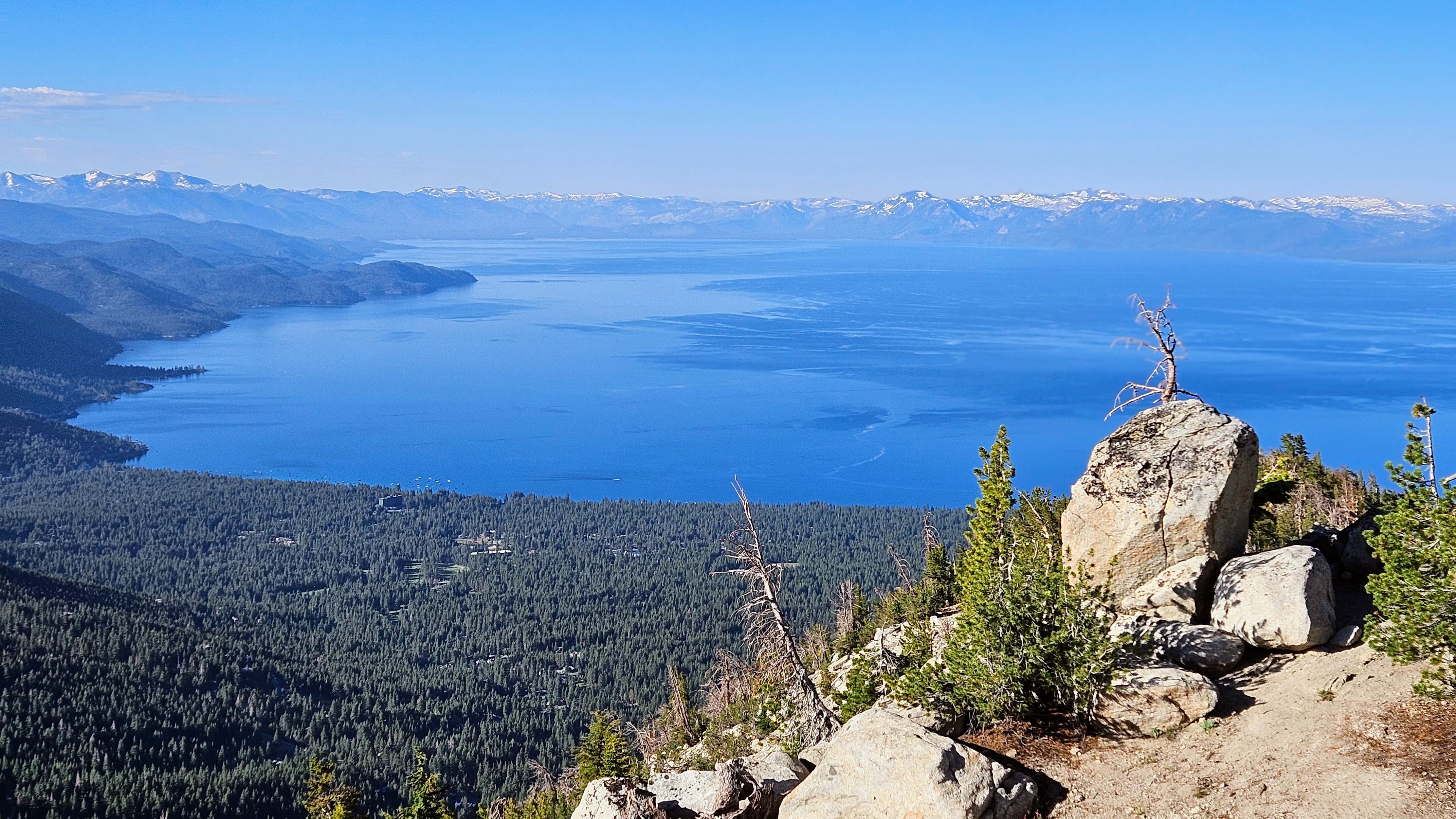
My next destination was Rose Knob Peak. From my study of the topo, I expected a brief departure from the path. As I drew near, the peak revealed itself as a towering mound of large, reddish talus, rising above the trail that cut across its midsection. I began my climb up the eastern ridge. The talus, for the most part, held firm beneath my feet, though I found myself using my hands for balance. I marked my arrival at the summit, then carefully made my way back down to the Tahoe Rim Trail (TRT), with the shimmering expanse of the lake now a constant companion. My final peak, Rose Knob, bore a name similar to its predecessor but was a tamer beast. Another mile along the trail, this peak offered an easy off-trail ascent. I made my way through a sea of soft, flowering plants to reach a nondescript summit, mostly encircled by trees. Here, I took my final rest, with only a single bottle of water remaining. Despite being over 9000 feet, the day had warmed, necessitating rationing of my water on the descent. I stuck to the trail, circling around Rose Knob Peak and passing Incline once more. Along the way, I met a fellow traveler, a through-hiker on the TRT on the fourth day of his expedition. From him, I learned that the TRT spanned a staggering 170 miles, more than twice the distance I had imagined. For the final stretch, I donned my bug net and gloves once more, my armor against the ever-present mosquitos.
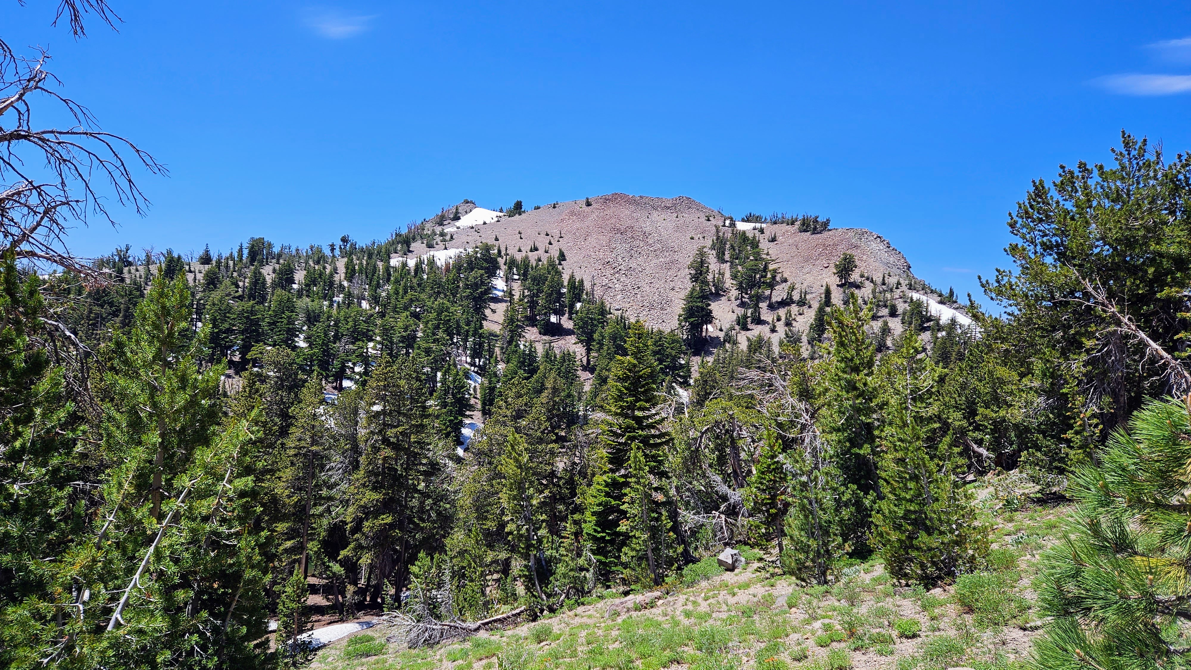
Approaching Rose Knob Peak
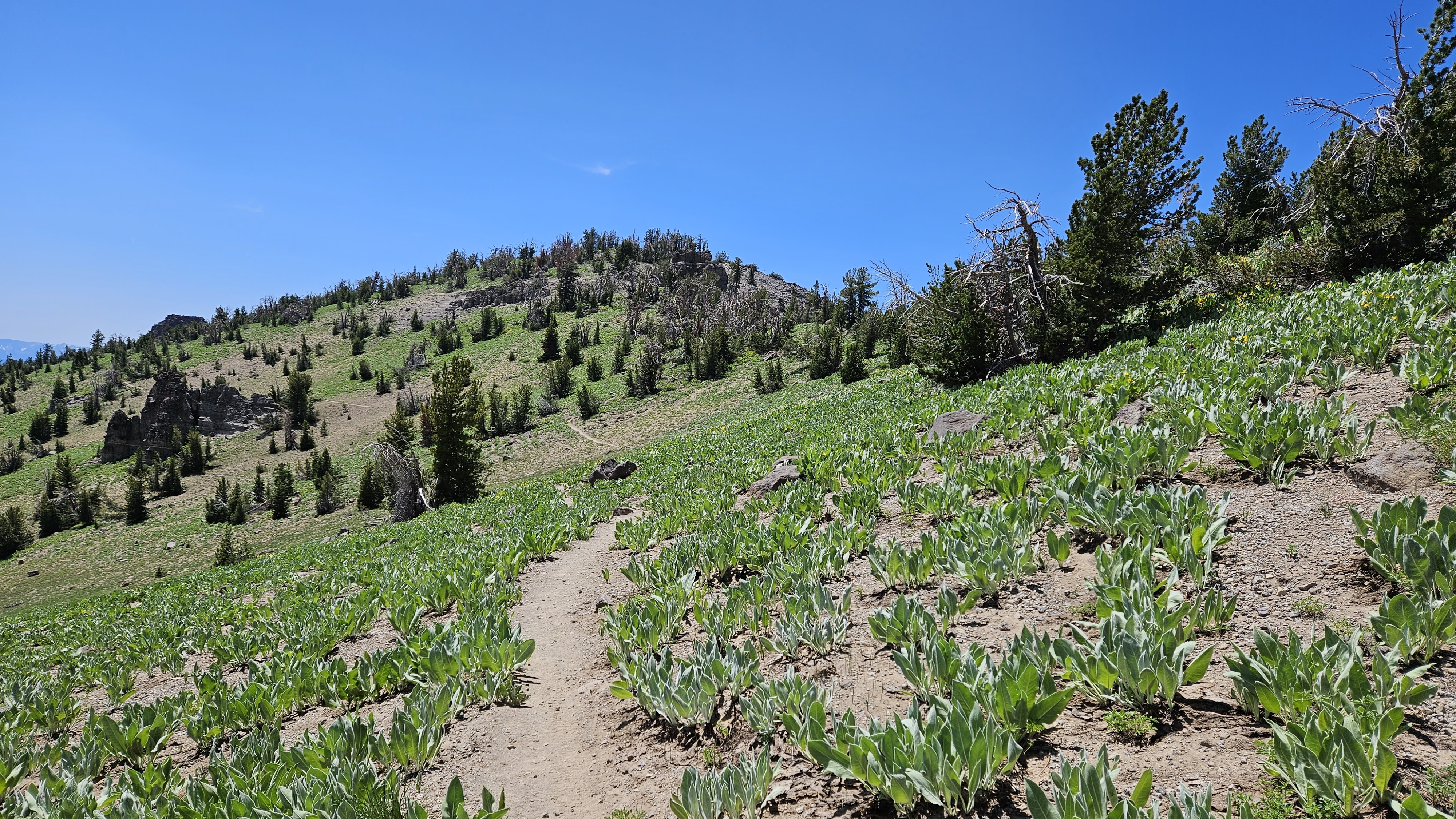
Approaching Rose Knob Peak