Mount Humphreys, AZ

Archived TRs for ranges outside California.
Post Reply
User avatar
tekewin
Posts: 1189
Joined: Thu Apr 11, 2013 5:07 pm

Post by tekewin »

Humphreys Peak (12,633') is the Arizona high point. Leisa and I drove to the Humphreys Peak trail parking lot on 8/3/23 at 7 AM. It's a huge lot that could hold at least 100 cars and there were already about 20. August is still monsoon season, so a normal start would be daybreak between 5-5:30 AM, but the forecast was clear skies so we started late. There were four portable toilets at the trailhead. Take advantage of them as privacy was an issue on this hike. The start of the trail goes through dense, shaded forest with tall deciduous and coniferous trees. The trail was damp but not wet. The first mile had a lot of medium sized rocks and exposed roots: trip traps. Long zig zag switchbacks define the trail below the saddle. At 10,500', the deciduous trees faded. The tree line ended at the saddle where the Weatherford trail joins the Humphreys trail.

Image

Image

Image

Image

Image
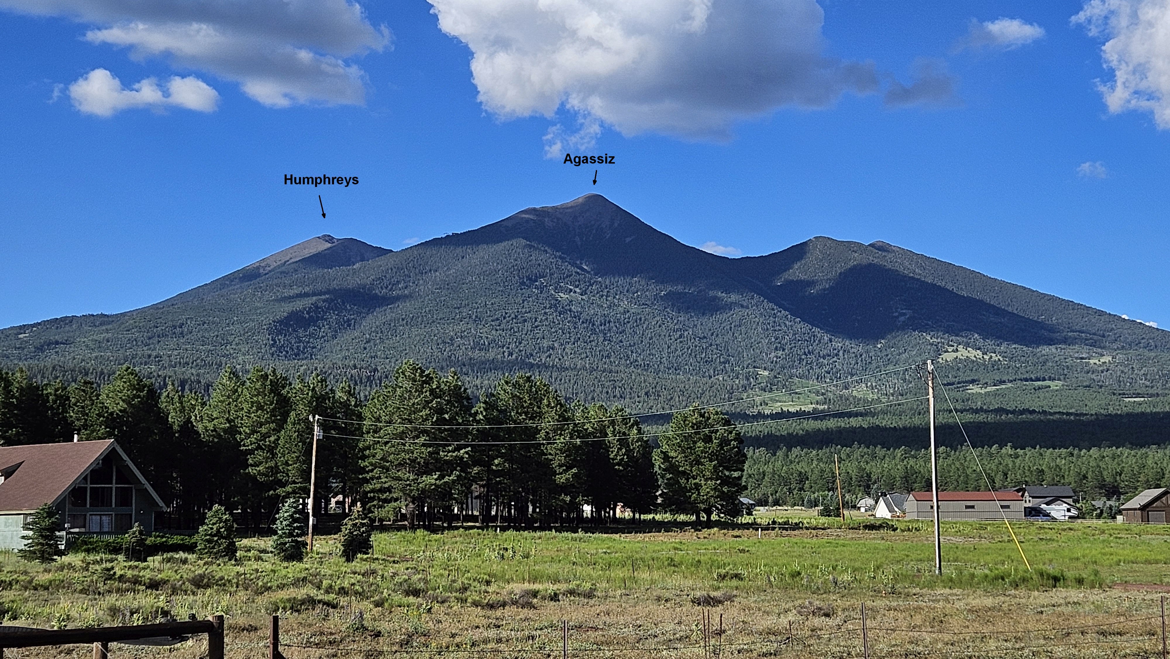
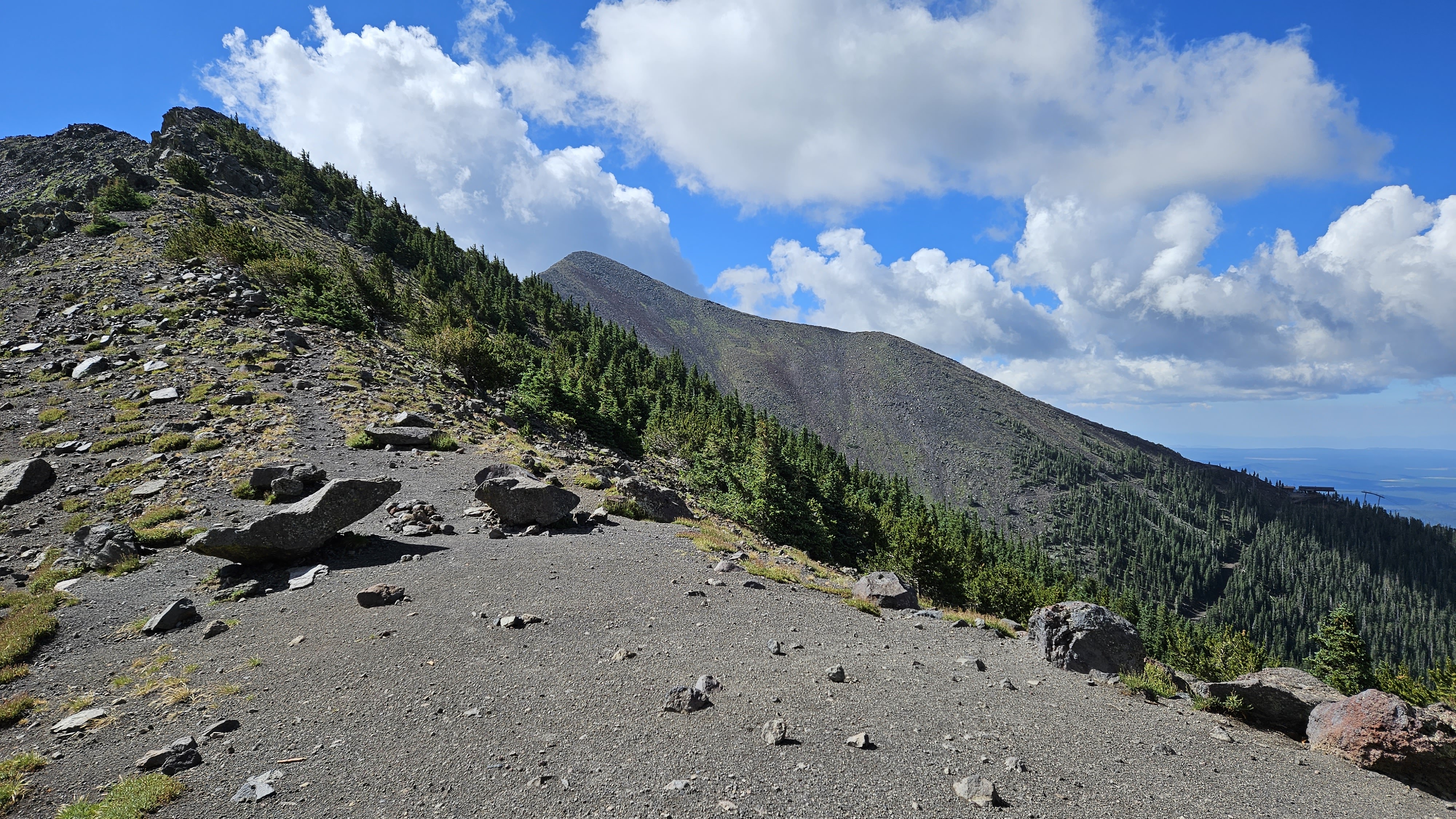
Looking toward Agassiz, off limits due to native plants, except when covered in snow

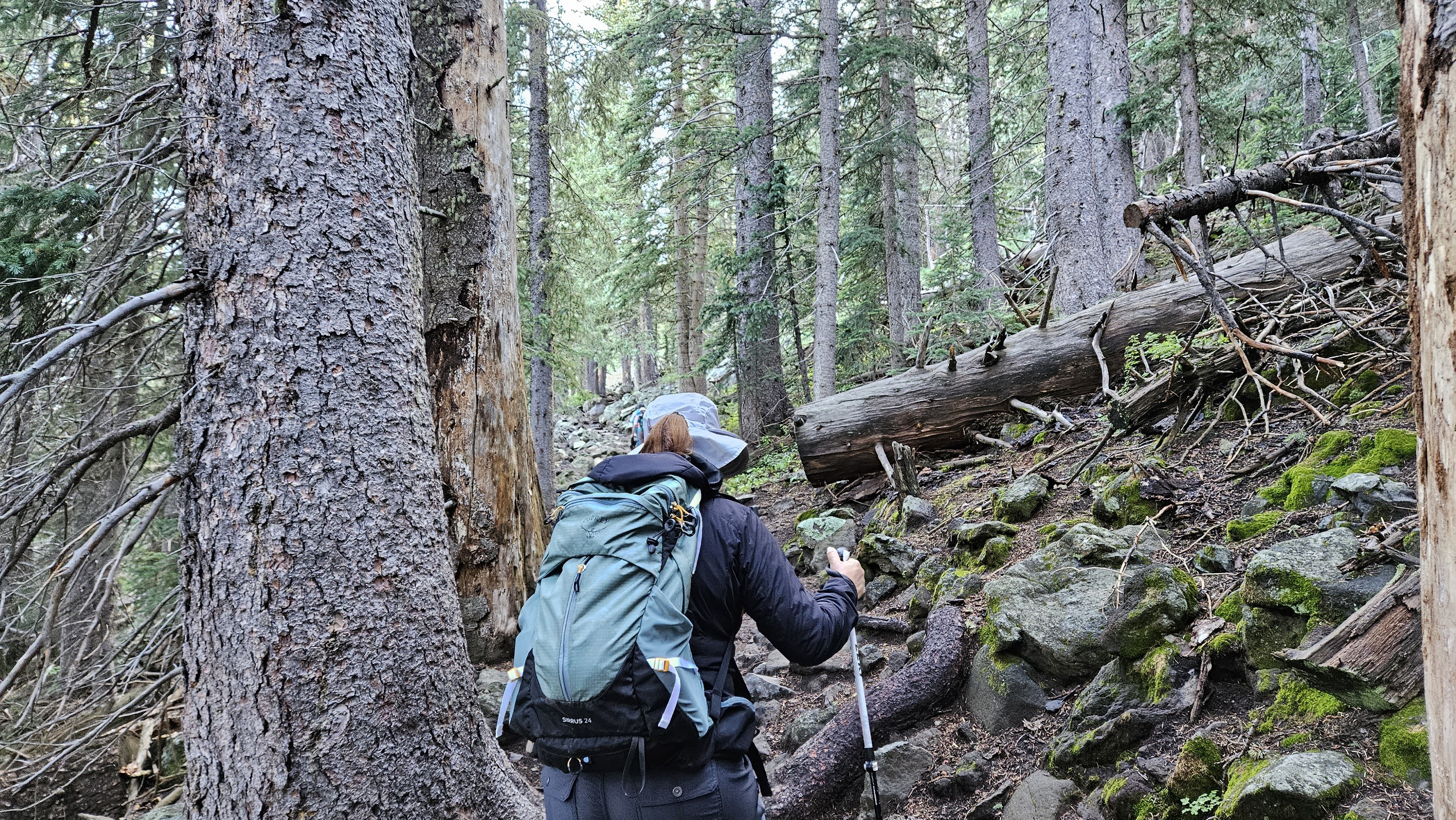
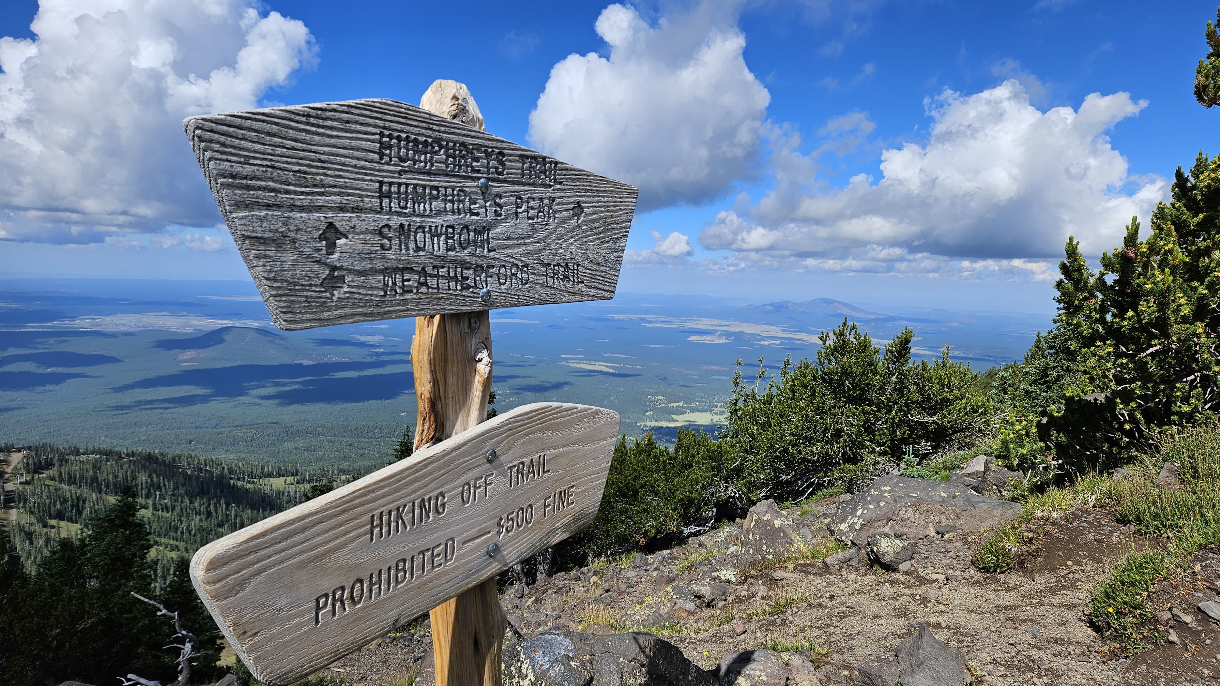
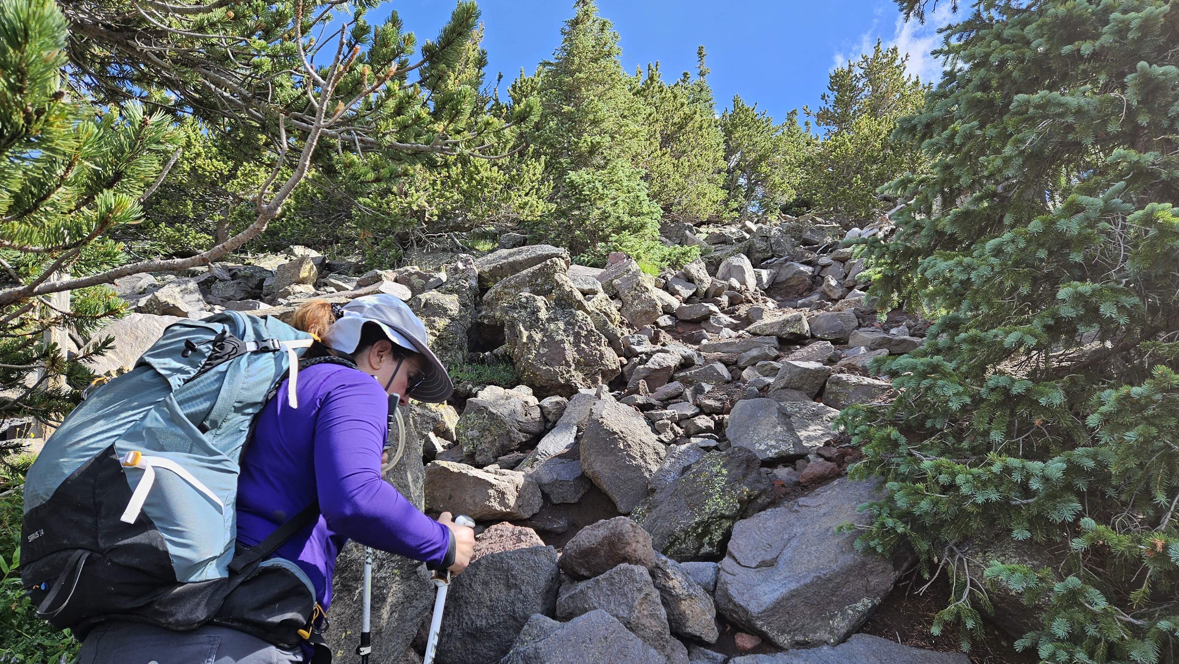
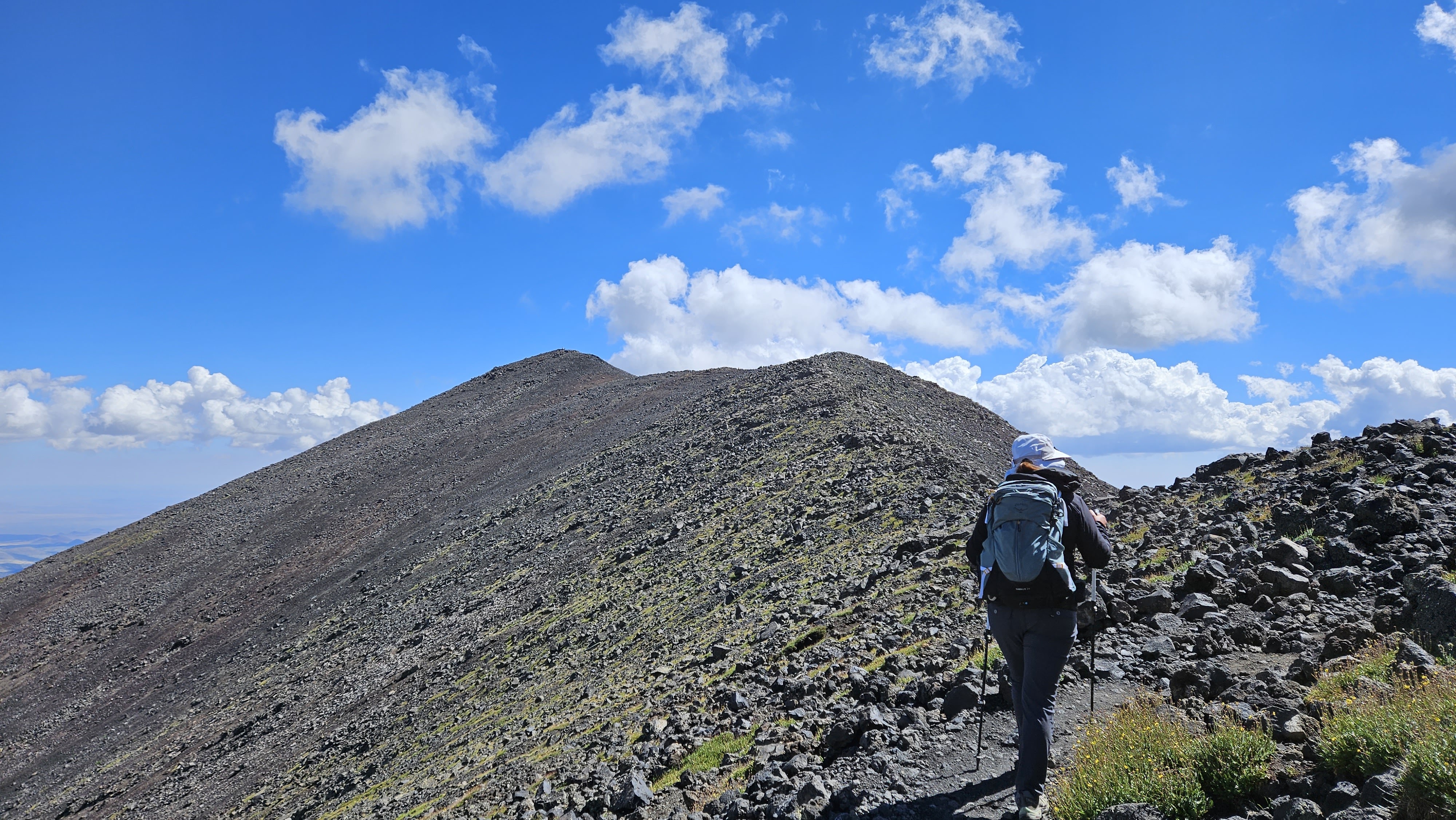
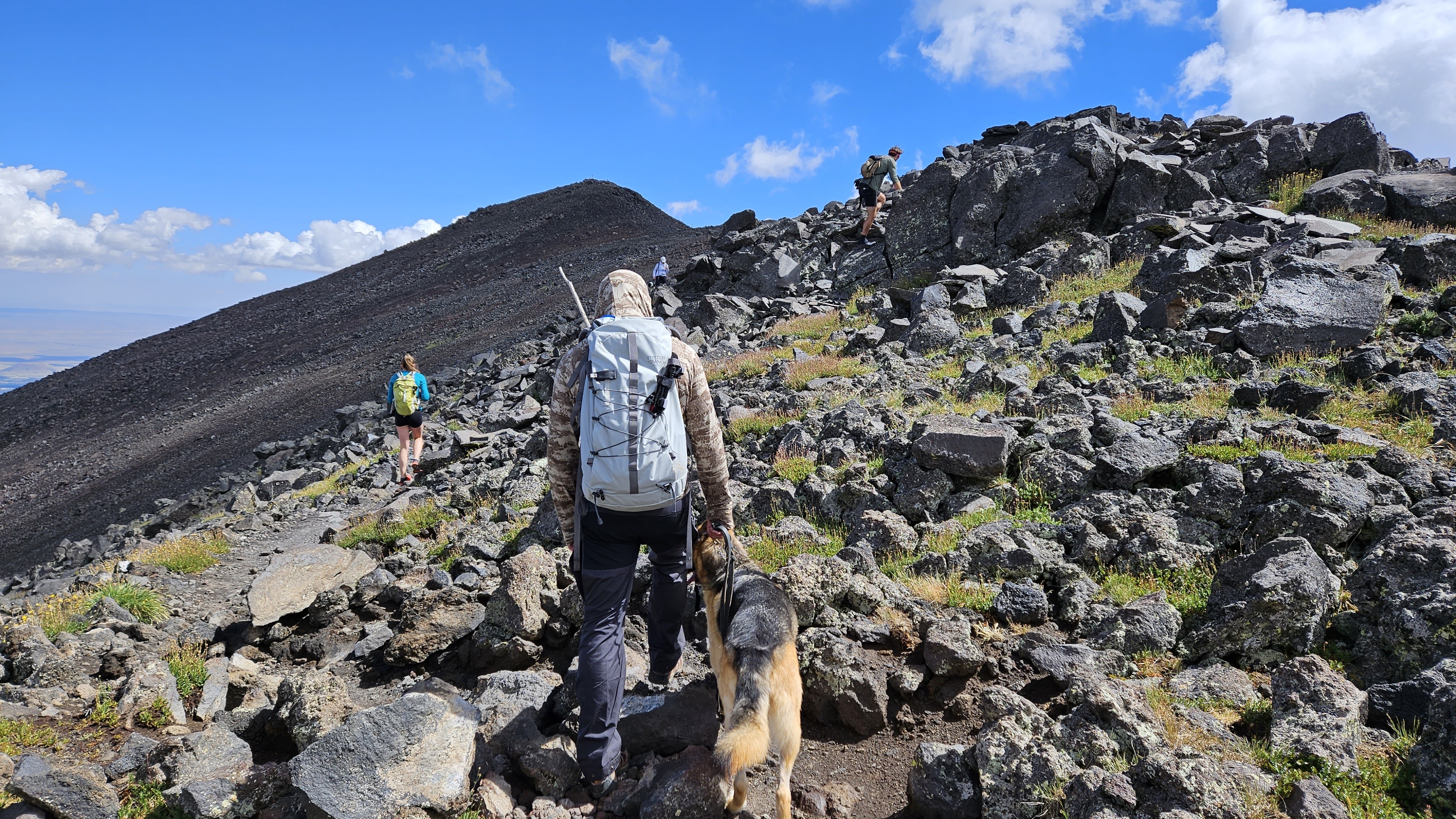
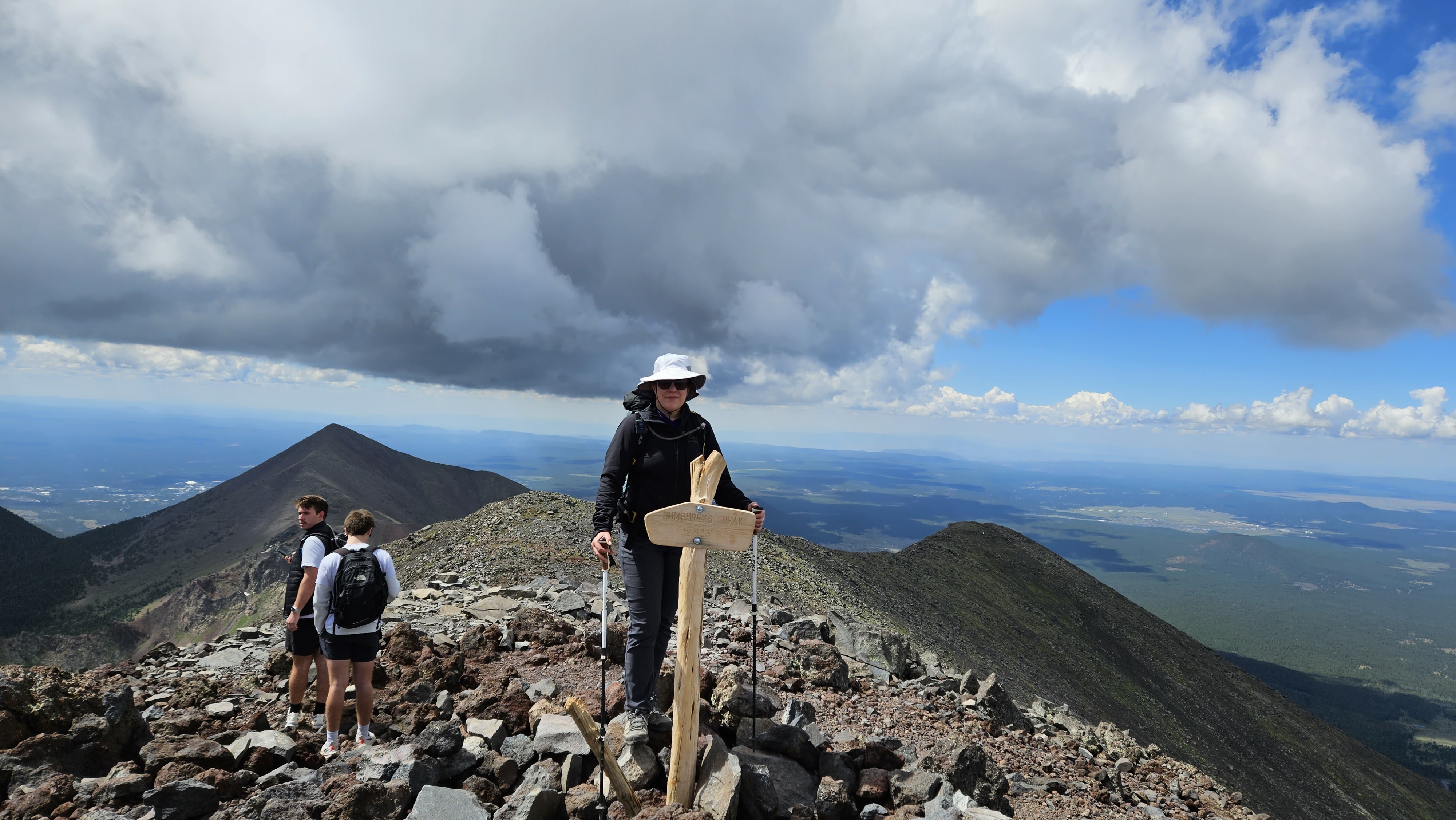
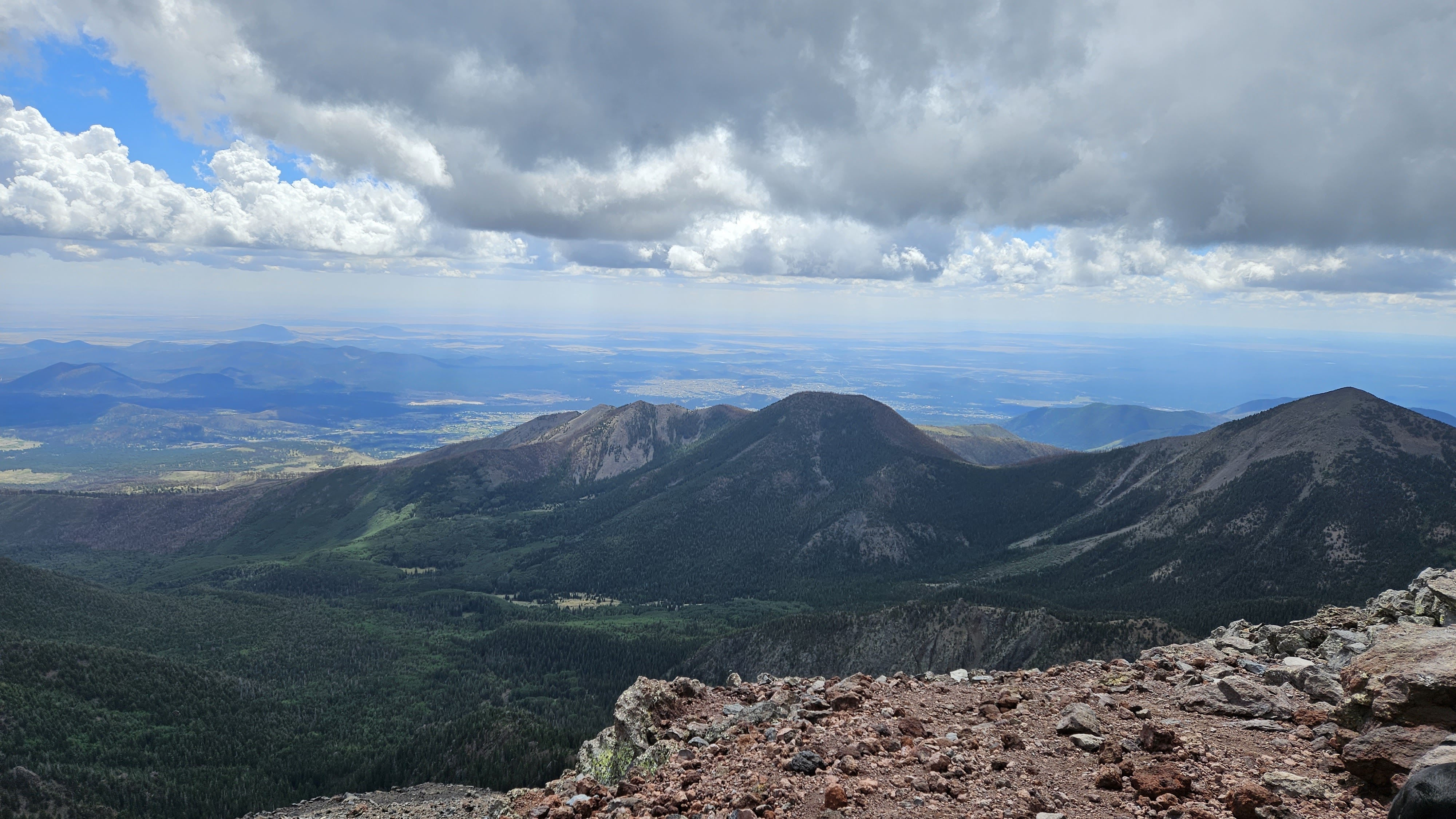
Beyond the saddle, the trail was harder to follow. It immediately dropped below the ridge line and was marked with wooden poles. There were rocky, uneven strips where large 18-24" steps were necessary. We not expecting the number of dogs on the trail. I counted six of various breeds. The dogs didn't seem bothered by the elevation, but I was worried about their paws on the volcanic rock. While the going was not overly steep, I felt the elevation. We traversed over three false summits at a steady pace, arriving on the summit just before 11 AM. Counting us, there were ten people and two dogs on the summit. Views were stellar in all directions. There were two ammo register boxes with lots of notebooks. The wind started blowing enough to make things cold and we started down. With so many people on the trail and a sparse forest, it's a problem finding a place to relieve yourself. We discovered a hidden spot just above the saddle, fifty feet off trail, surrounded on three sides by pines and the other side by a bump in the ridge. It was the only place we found for a moment of privacy. The descent was uneventful and we were back at the truck by 1 PM. Humphreys had been on my wish list for six years so it was sweet to check that box. It is one of only five ultra prominent peaks in AZ.
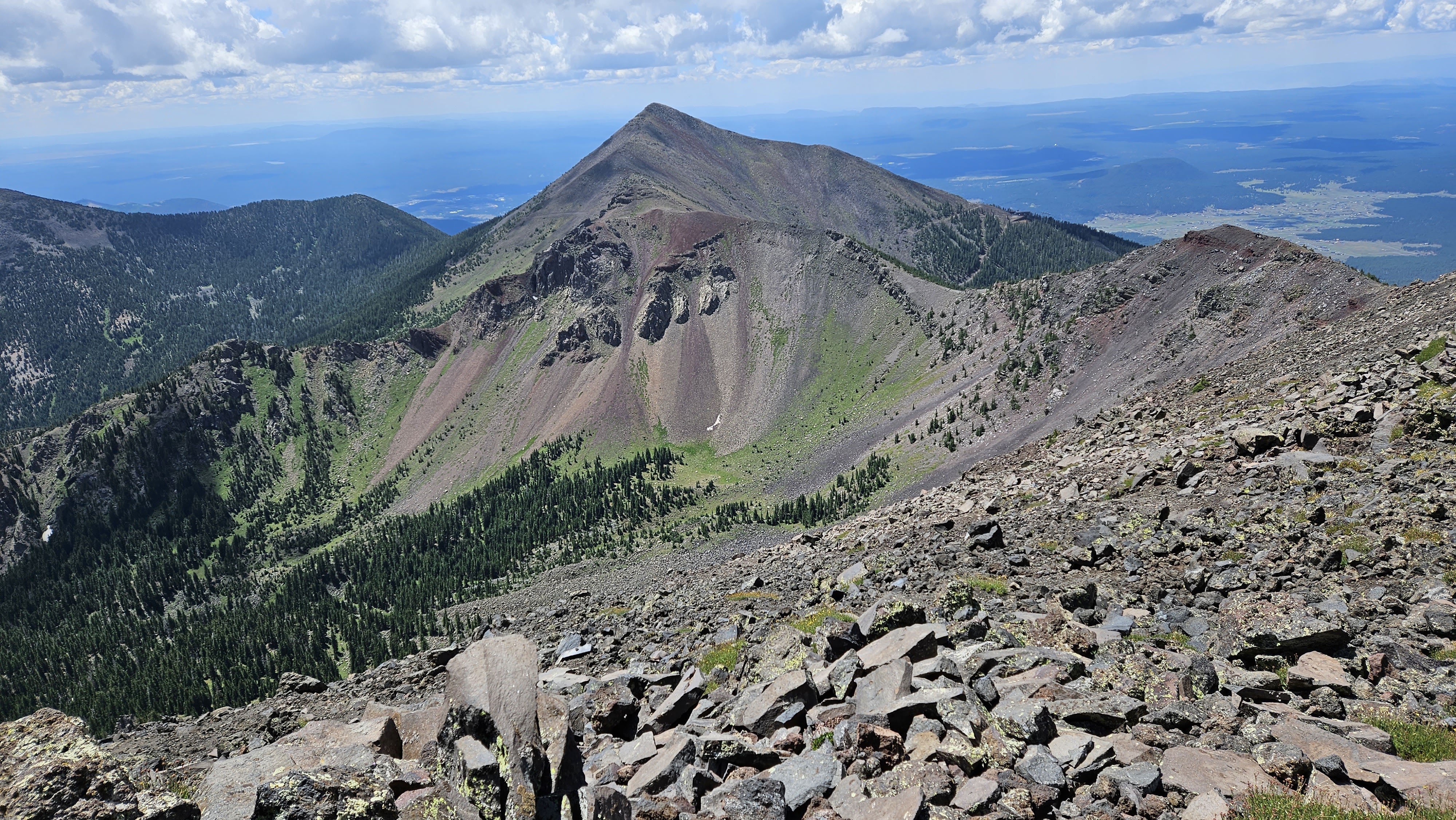
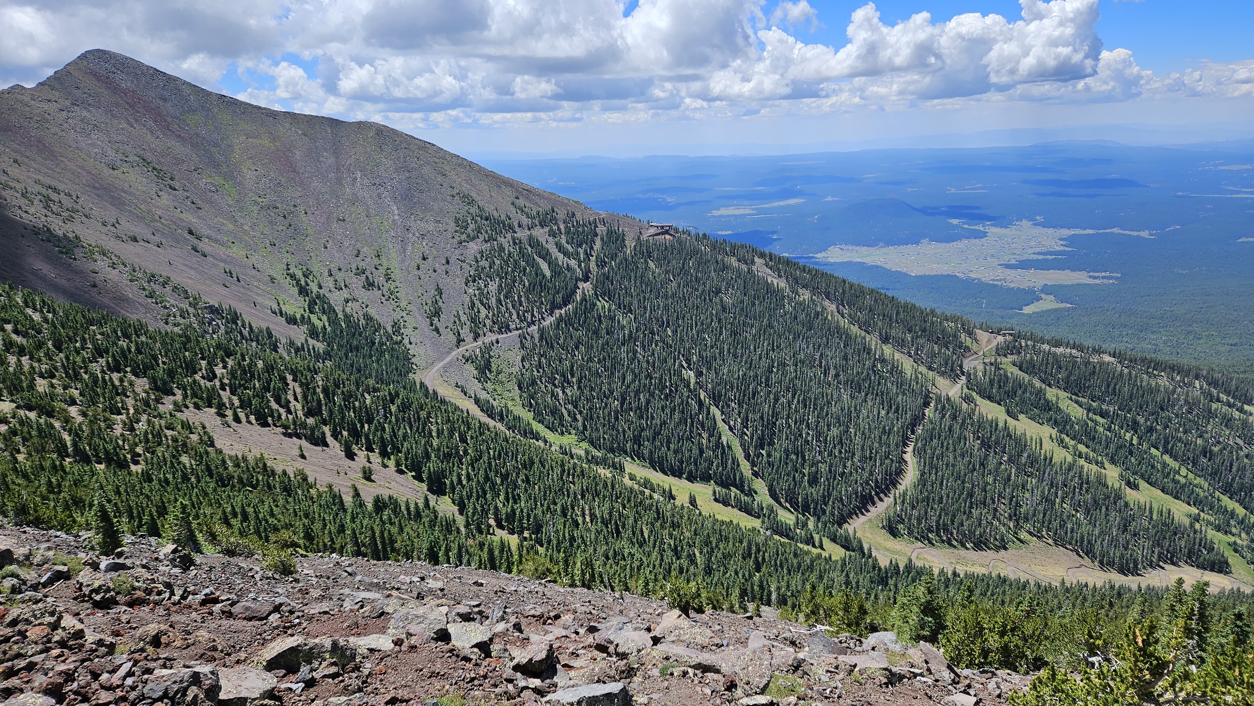
Image

Image

Image

Image

Image

Image

Image

Image
Ski runs on Agassiz

Image
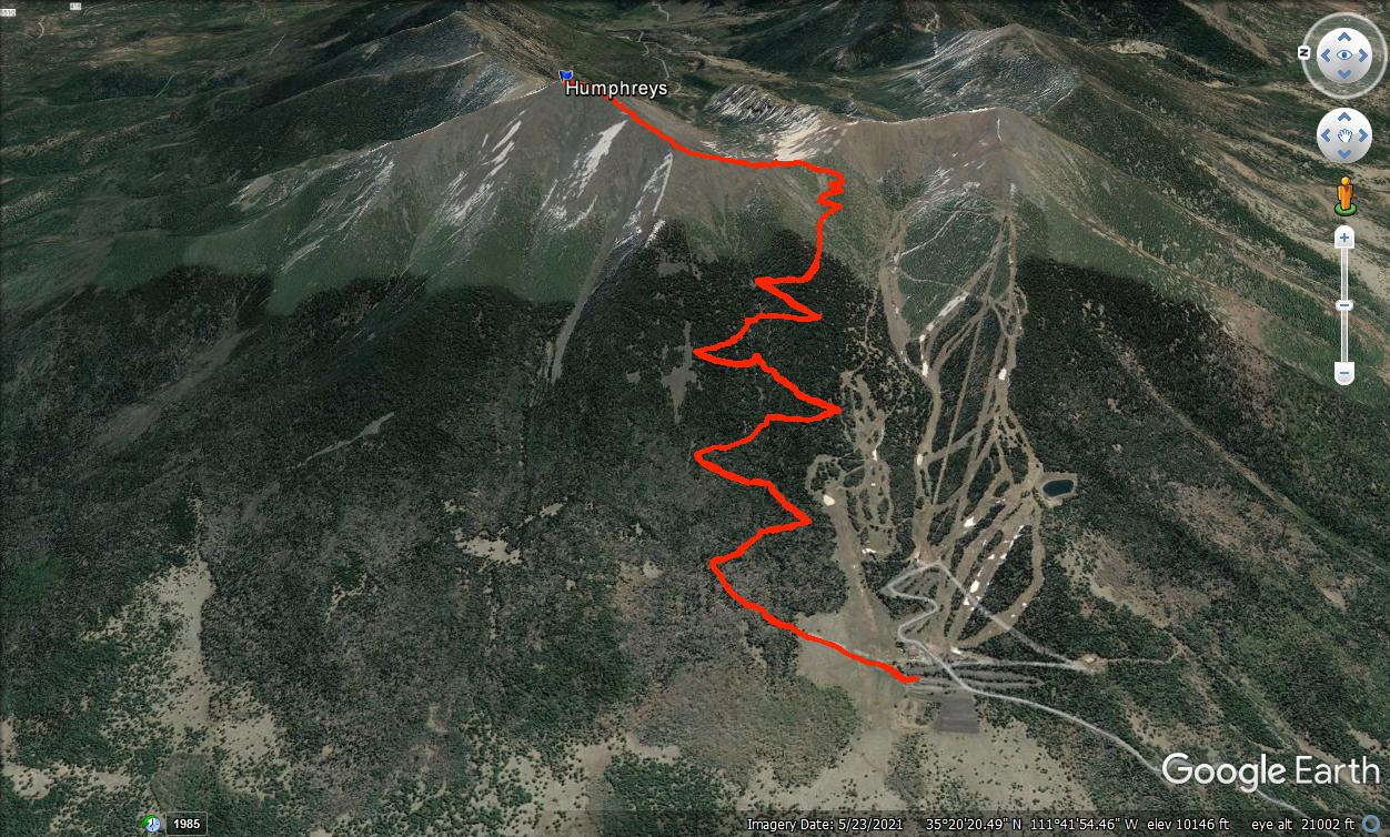
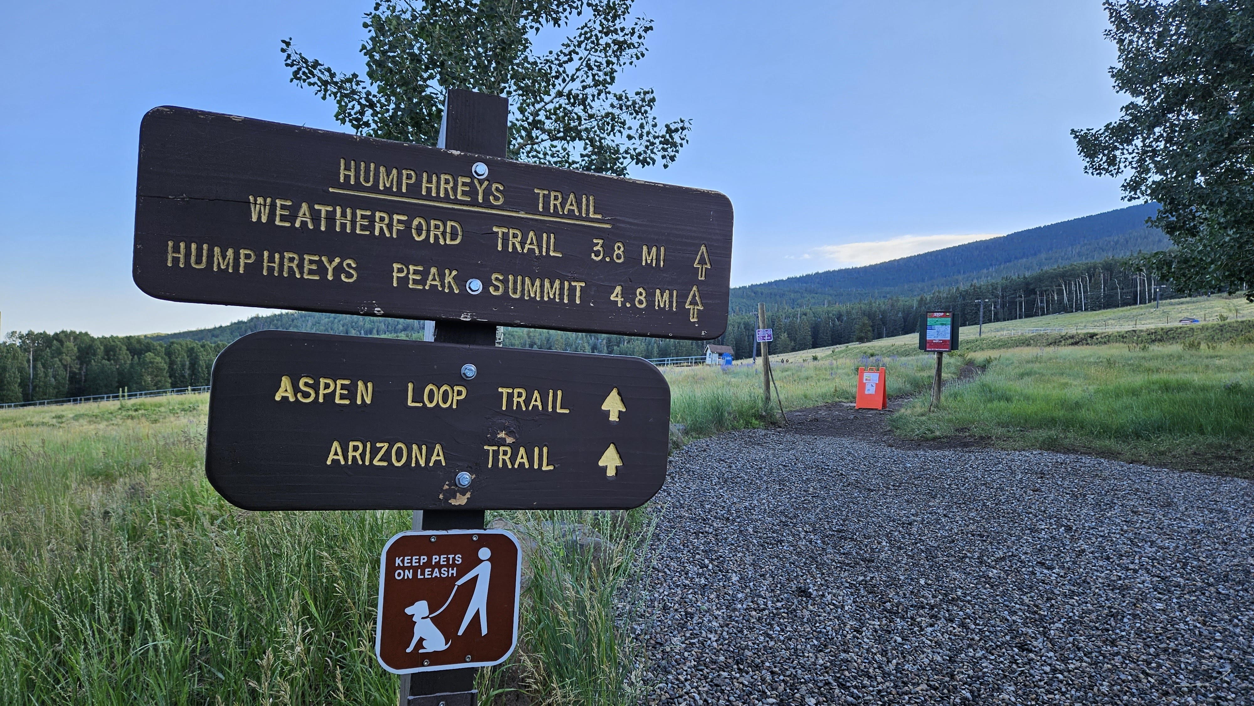
10.3 miles, 3353' gain
User avatar
JerryN
Posts: 200
Joined: Sun Nov 11, 2012 4:01 pm

Post by JerryN »

Nice trip report. I hiked it yesterday 8/12/23. It was windy, rainy, hailing, snowing, and clear and sunny. Started at 6 and on the summit by 10. The climb above tree line with the large step-ups and thin air really slows you down. There was an injured hiker on the descent about 1/2 mile from the parking lot. A fireman picked her up and carried her out at a good pace -- 120 pounds or so of dead weight. I took it slow on the way down as the mud from the rain made everything slippery. Arrived back at my car at 1;00. The forest lower on the mountain is really beautiful. This was my 4th summit of one of my fav mountains. An awesome day
User avatar
tekewin
Posts: 1189
Joined: Thu Apr 11, 2013 5:07 pm

Post by tekewin »

Awesome! I get the impression it is usually very windy up top. We had an unusually calm day. Rain and snow must have made conditions quite a bit tougher. I can definitely see that first mile or two as injury prone with all the rocks and exposed roots. I'm guessing that hiker was OK with only a minor injury.

Do you visit AZ often?
User avatar
Edward
Posts: 42
Joined: Sat Oct 11, 2014 11:02 am

Post by Edward »

Thanks for the trip report. I turned back at the saddle years ago, I was moving slowly because of a recent hip replacement, and was concerned about pm lightning. Always wondered about what it was like beyond the saddle. I had done Superstition, Weaver's Needle, and Baboquivari, and wanted to do Humphreys as well.
User avatar
Sean
Posts: 3716
Joined: Wed Jul 27, 2011 12:32 pm

Post by Sean »

Thanks for the report. I used to have grandparents in Arizona and would visit frequently. I first tried Humphreys in 2012 from the Snowbowl side, but ran out of time and had to turn back. The next year, with more time, I went up from the Inner Basin in June. Despite a late afternoon start, I made the summit shortly before dark. I wasn't dressed for the cold, it was freezing with howling wind at the top. I sat in a windbreak shivering for a few minutes before heading back. Halfway down I was so tired that I broke out the emergency blanket and took a nap on a covered bench. Woke up a couple hours later and reached the car, where I promptly fell asleep again. In the morning I walked around the Inner Basin and checked out the meadow and the pond. It's very pretty up there.
User avatar
tekewin
Posts: 1189
Joined: Thu Apr 11, 2013 5:07 pm

Post by tekewin »

Sean wrote: Thanks for the report. I used to have grandparents in Arizona and would visit frequently. I first tried Humphreys in 2012 from the Snowbowl side, but ran out of time and had to turn back. The next year, with more time, I went up from the Inner Basin in June. Despite a late afternoon start, I made the summit shortly before dark. I wasn't dressed for the cold, it was freezing with howling wind at the top. I sat in a windbreak shivering for a few minutes before heading back. Halfway down I was so tired that I broke out the emergency blanket and took a nap on a covered bench. Woke up a couple hours later and reached the car, where I promptly fell asleep again. In the morning I walked around the Inner Basin and checked out the meadow and the pond. It's very pretty up there.
That's a great story. It was cold on top with the wind blowing. It really picked up on the way down and my fingers got numb for a little while. Had to break out the gloves. Is the Inner Basin on the other side?
Post Reply