Bluewater Crown ahead
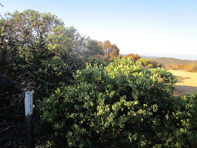
Use trail to Cub Scout Peak
Cub Scout summit
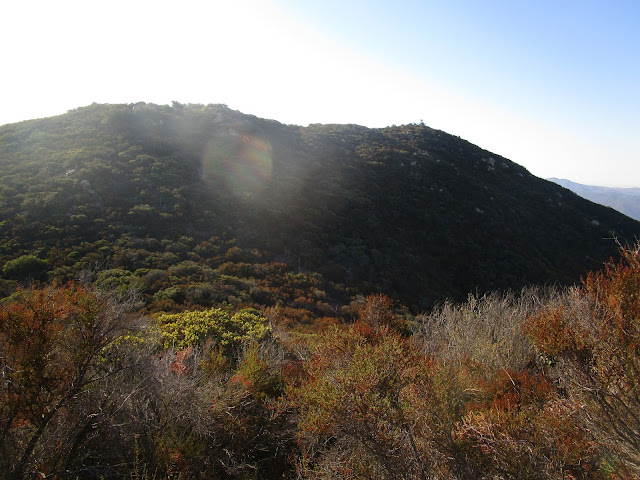
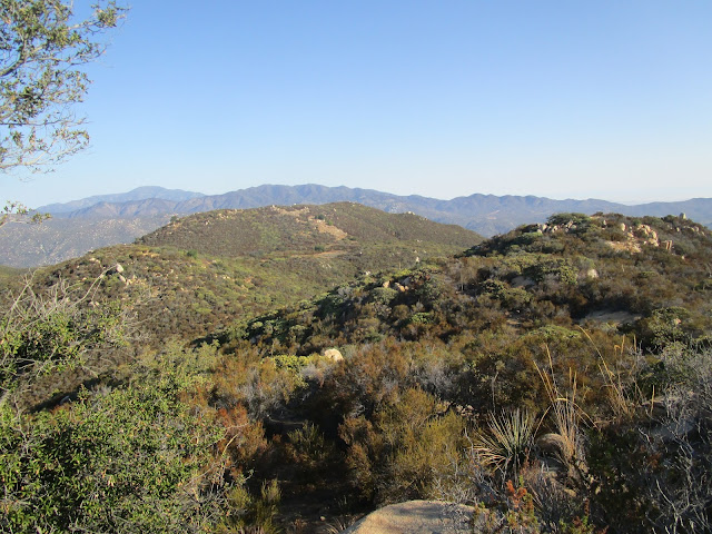
Heading to Bluewater Crown
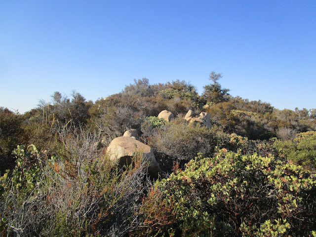
Between Cub Scout and Bluewater Crown is moderate to heavy bushwhacking. Along the way are channels with lighter brush, maybe remnants of an overgrown firebreak. They aren't contiguous, but I could usually find one within 20' of where the current one ended. Good route choices are the difference between moderate and heavy thrashing. I did some of both. The summit of the Crown has five bumps, one at the north end, one at the south end, and three in the middle. The two highest were along the east (right) side. It was a very close call, but the first eastern bump seems slightly higher than the other. A tree growing there is clearly higher than anything else. I dropped a register there in an artisinal glass jar. I set it up at the base of the tree below the highest boulder.
Being in the middle of a large summit area, the views were not the best. I continued over the south bump down to a perfect lookout over Bluewater Canyon. Views there were commanding and I lingered longer than usual. I took a photosphere from the lookout but it turned out broken. The south ridge appeared to be another viable ascent/descent route to the Verdugo Trail. I debated whether to descend that way, but ended up returning the way I came. I visited the final middle bump on the summit on the way back for completeness. Then, I got tangled up in some manzanita heading back to Cub Scout, escaping with minor scratches. I was extra grubby by the time I got back to the trail. From Four Corners, I took the slightly longer Bear Ridge trail back.
High point
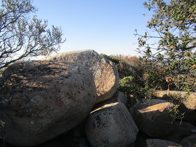
Summit boulders
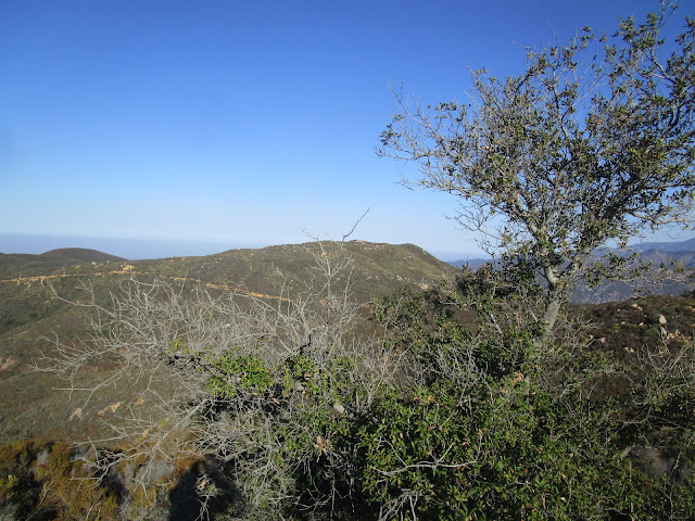
Cub Scout lower left, Boy Scout Peak background
Sitton Peak, only a little higher
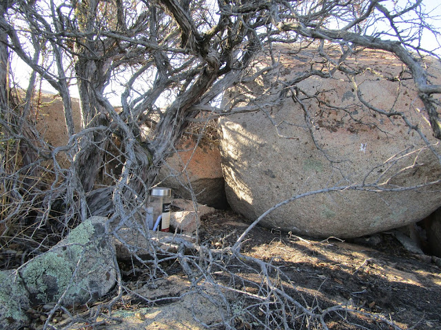
New Register in artisan glass jar
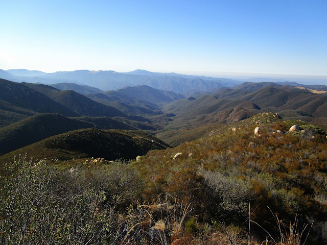
View of Bluewater Canyon, the reason for the trip