There was still snow on the trail up at 6,000 feet back in February, and then more storms came. Here on the forum, David Martin reported that the snow was still present in March, and so we waited. Finally, the weather warmed up in April, and we started the hike. Our big hope was that the cached water jugs hadn't burst due to all the freeze-thaw cycles they were subjected to. In fact, the weather got almost too warm and we thought about postponing the trip to next Spring, but there was all that plastic I'd left in the wilderness, so we pretty much had no choice but to go, if only to retrieve it.
Day 1: Mill Creek Summit to Beartrap Canyon Road
We drove up there in two cars, the day before, and may have stealth-camped at the hike's terminus, the Indian Canyon Trailhead on Soledad Mountain Road. We left one car there and drove up Angeles Forest Highway to the Mill Creek Summit, and parked near Mount Gleason Road where the PCT crosses the highway.
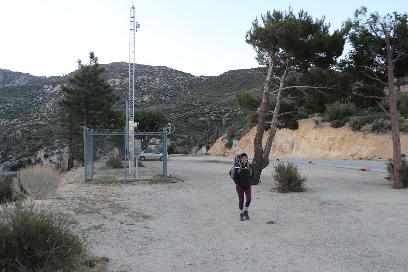
We started the hike on Angeles Forest Highway and Mount Gleason Road at the Mill Creek Summit
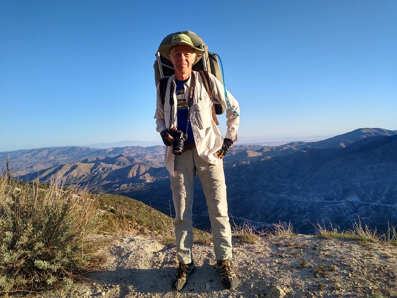
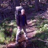
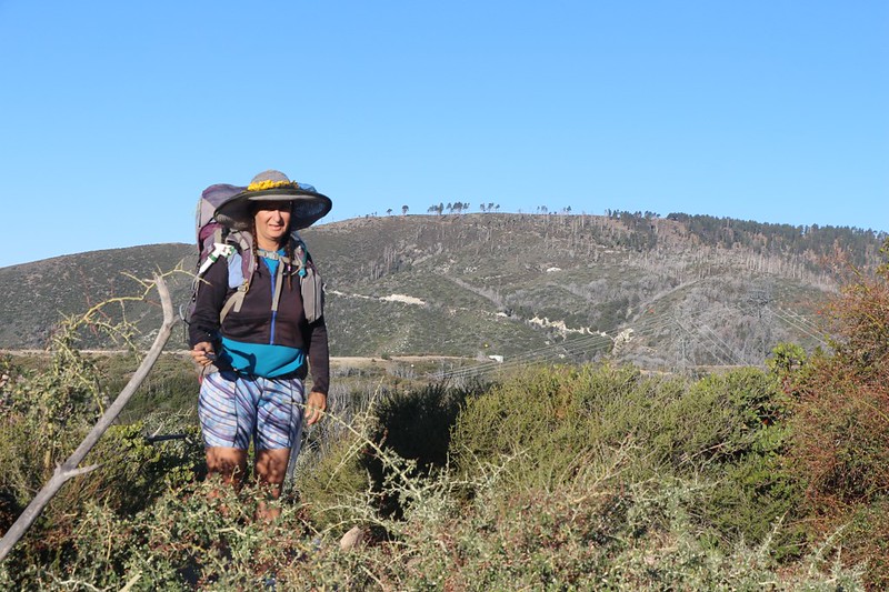
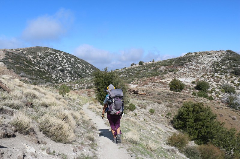
Me, posing on Mount Gleason Road with my vintage 1970s-era backpack
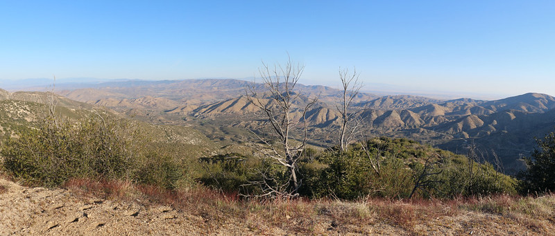
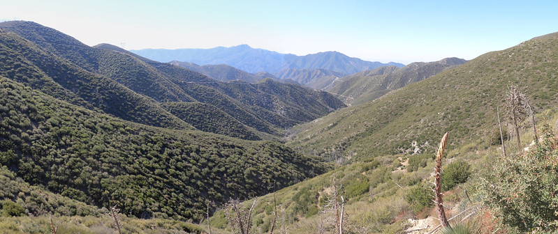
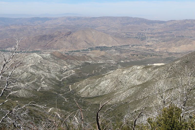
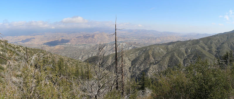
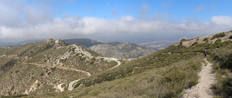
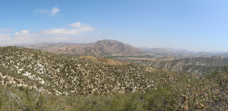
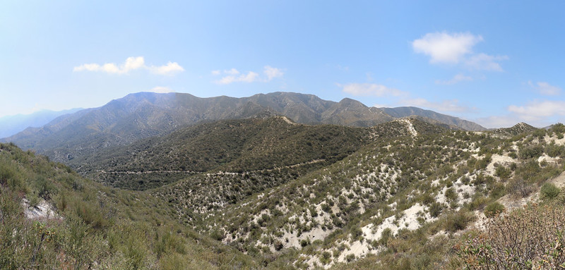
Panorama view north toward Palmdale from Mount Gleason Road
As you may have noticed, we hiked on the paved road and didn't take the PCT. Why not? Because of what happened back in February. I schlepped two gallons of water up Mount Gleason Road using my bicycle, and planned to go about three miles, to the PCT intersection, and leave the water there. During the actual hike, I would carry it a mile or two more to the first night's camp. Unfortunately, there was still plenty of ice-hard snow on the north-facing sections of the road, and I could only push the bike so far. I gave up, frustrated that I hadn't brought microspikes, at about the two mile mark, and stashed the water down below the pavement That would have to do. At least I'd gotten most of the climbing out of the way.
Me, scrambling up the steep hillside with my previously-stashed gallons of water
And they weren't broken! I stuffed the jugs into my backpack and we hiked onward, joining the trail a mile or so further on. The PCT had paralleled the road the entire way up, so I didn't really feel like I was cheating. Not much, anyway.
Poodle Dog Bush sending out last year's flower stalks directly at the PCT hikers along the trail - Don't let it touch you!
Someone must've sprayed RoundUp on the Poodle Dog plants last year, as most of them were dead. But a few still survived here and there, so you had to be on your guard all the time.
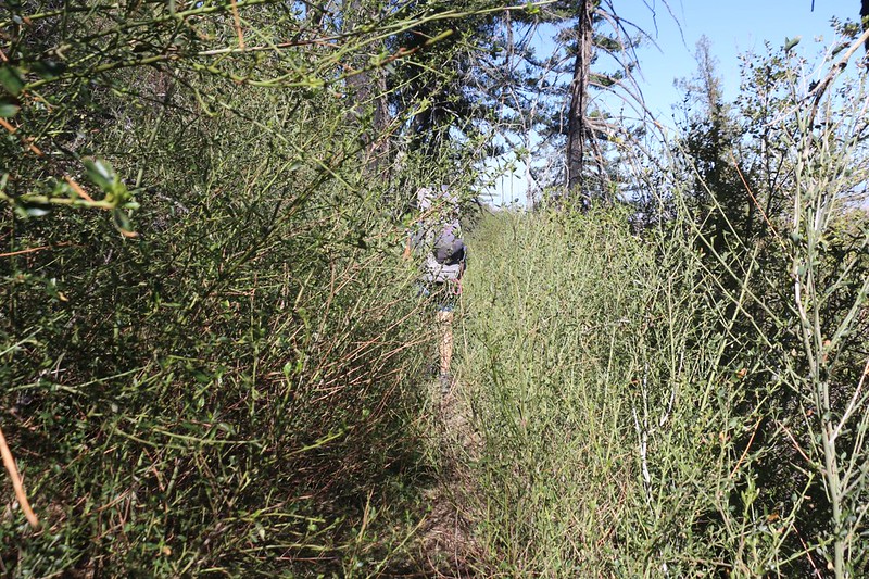
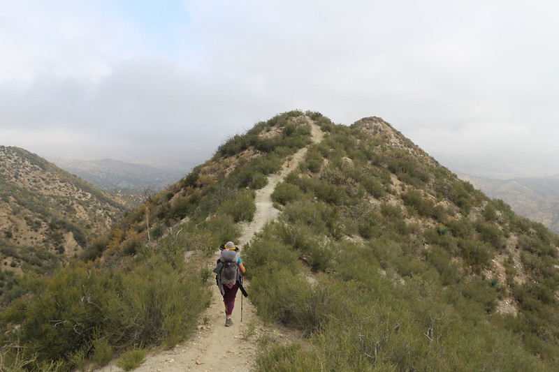
Pushing through overgrown chaparral bushes. We were sorry that we had left the road.
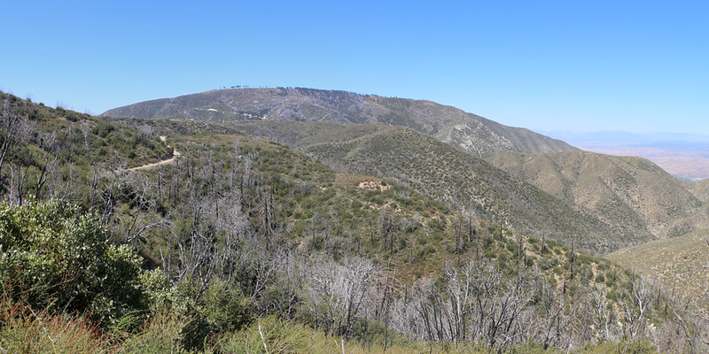
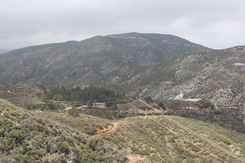
Mount Gleason with Beartrap Canyon Road below us
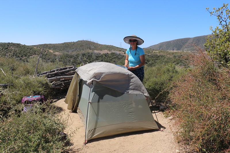
It was hot and only noon so we set up the tent with a mylar space blanket under the tarp to block the sun's rays. This works great!
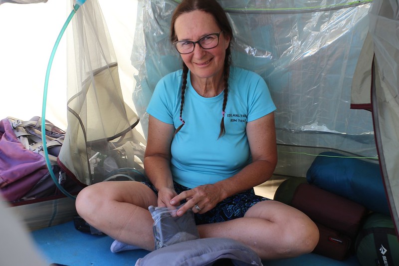
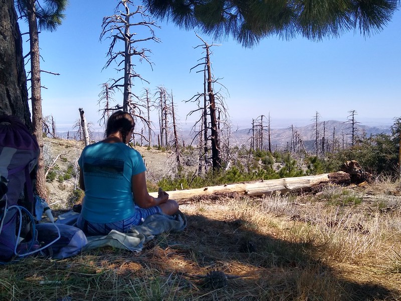
Vicki chilling inside the tent on a hot afternoon with the doors wide open to catch some breeze
The temperature was in the upper seventies, so it was perfect for laying around reading all afternoon. Life was good, and we had some fine views from the campsite. Other PCT thru-hikers went by, but none of them stopped here as there was no water. Plus, they weren't wimps like us.
Day 2: Mount Gleason to Moody Canyon Road
We had read the recent comments (in the GutHook PCT Trail Guide app) written by previous hikers, and one of them mentioned that the next several miles of trail were totally overgrown, and that it was a bushwhack almost all the way to the Messenger Flats Campground. We had a feeling that a lot of it was buckthorn (whitethorn) which wasn't "sparking joy" with Vicki and her bare legs. We checked out the map and decided to head back to good old Mount Gleason Road, which headed around the peak on the south side rather than the north where the PCT traversed it. We could see the road from camp, and it seemed to climb just as high, maybe higher, and might even provide better views. Was this cheating? Of course it was. And we did it gladly. In for a penny, in for a pound.
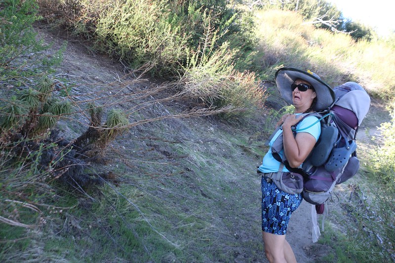
Vicki, ready to hike in the morning, with Mount Gleason behind her and buckthorn plants in the foreground
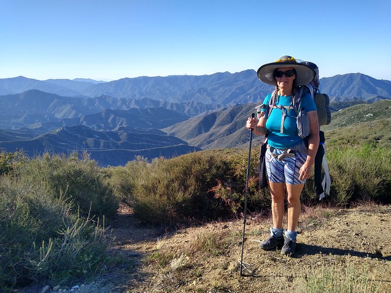
Vicki and the view south from Mount Gleason Road
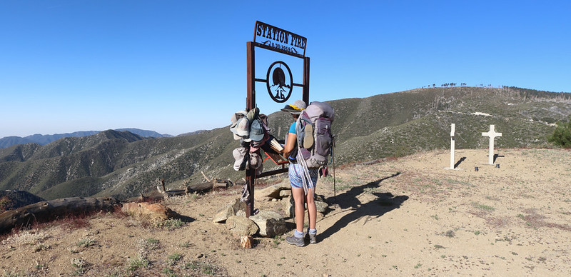
Vicki signed the log at the Station Fire Memorial
The PCT didn't go past the memorial, so we were already feeling better about taking the road. This was an important spot, and worthy of our attention. Brave men, doing brave deeds.
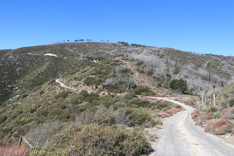
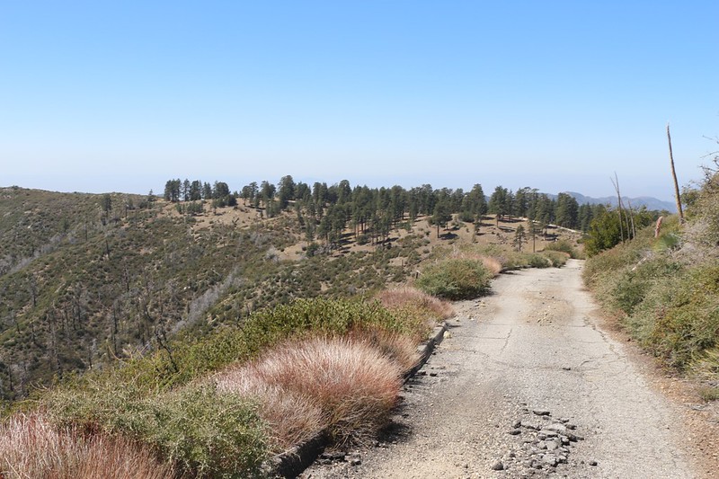
We continued west on Mount Gleason Road and began climbing Mount Gleason itself - the PCT goes to the right
Looking south down the North Fork of Mill Creek from Mount Gleason - this entire area burned completely back in the 2009 Station Fire
We stopped and had some lunch in the shade along the road not far from the summit. Some of the pines survived the fire.
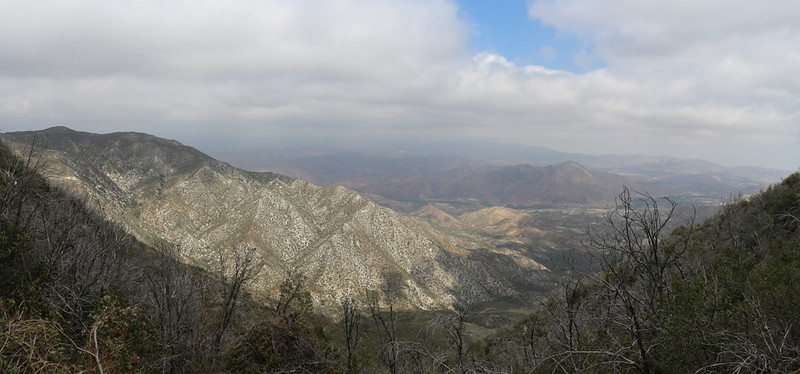
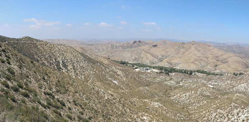
Looking west from Mount Gleason Road toward the Lightning Point Campground
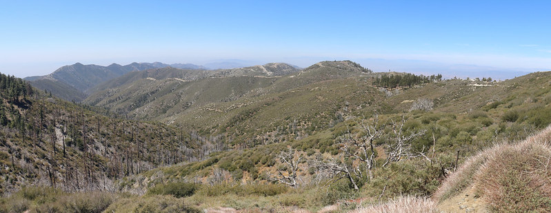
Panorama view west from the road, with the Messenger Flats Campground in that patch of trees on the right
We took a break in the shade at the campground, and checked the map. We decided that the fastest way to our campsite (and the next two gallons of stashed water) was to get back on the PCT. This mile-long section wasn't anywhere near as overgrown, so it worked out well.
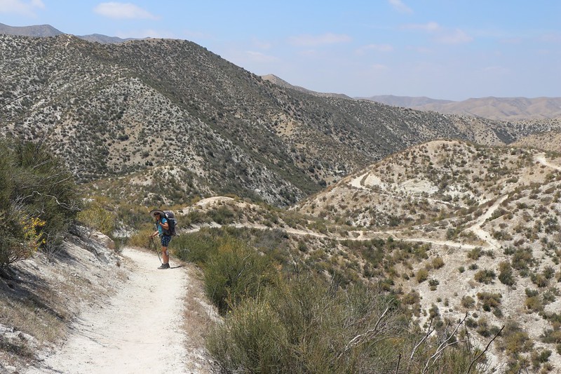
View north from the PCT with Moody Canyon Road down below - I hiked that back in February to bring water up here
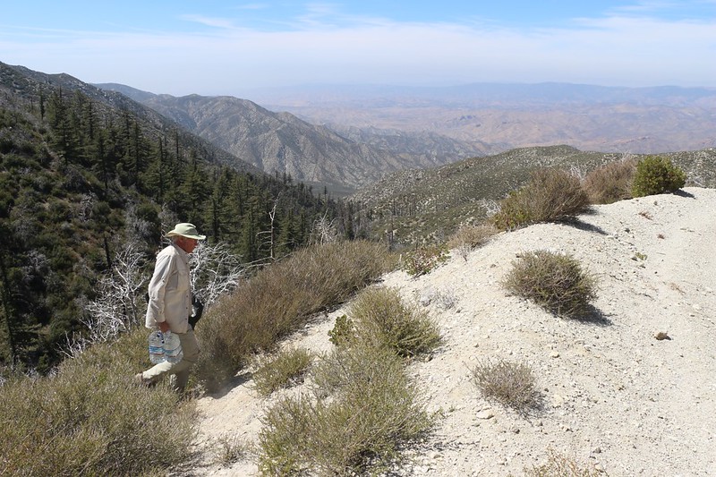
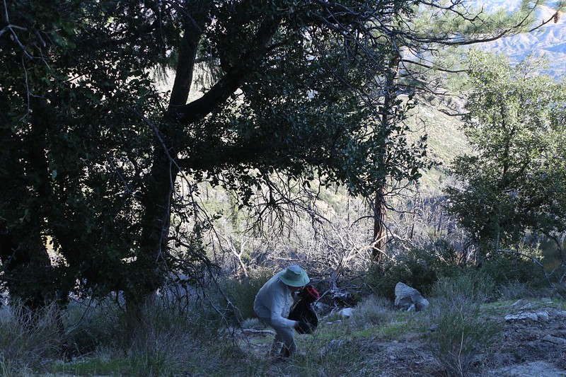
Me, retrieving my two gallons of water from down below the roadbed under some brush
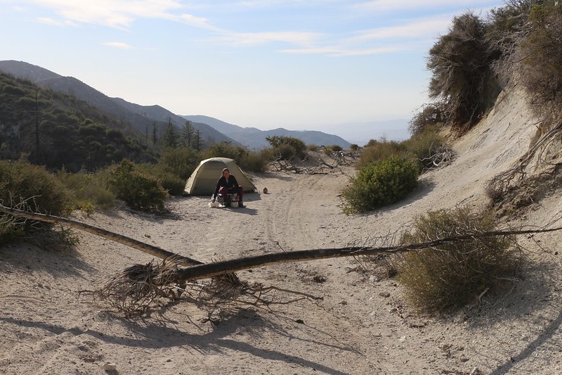
We camped directly on Moody Canyon Road, 4N33, which was closed, but I put up some primitive road blocks just in case
Day 3: Moody Canyon to the North Fork Ranger Station
A cold front passing by to our north caused a weather shift down here in SoCal, and the temperatures dropped while the marine layer thickened over Los Angeles to a depth of five to six thousand feet. Since that just happened to be our altitude, we woke to damp, chilly clouds pouring over the ridge to our south, while other low clouds partially filled the valley to our north. It was pretty weather to look at, but it was cold and breezy in person. In fact, we chose these days to do this hike precisely to take advantage of the cooler weather as we descended to lower elevations on the final two days.
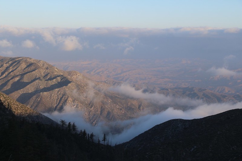
It was cold that morning, with lots of cool clouds drifting in the valleys to the north of us
We ate a hot breakfast, using up some of that precious water, and then packed up camp. I squashed the four empty gallon jugs and shoved them into my bear cannister to carry home. We had done our ecological duty to the planet.
Panorama view north over Mill Canyon, with Moody Canyon Road on the far right
The PCT intersected Santa Clara Divide Road at a saddle, and it was very windy
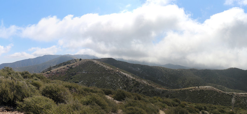
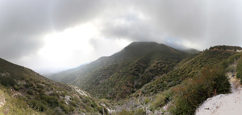
Panorama view south and east with the thick marine layer clouds pouring over the ridgetops
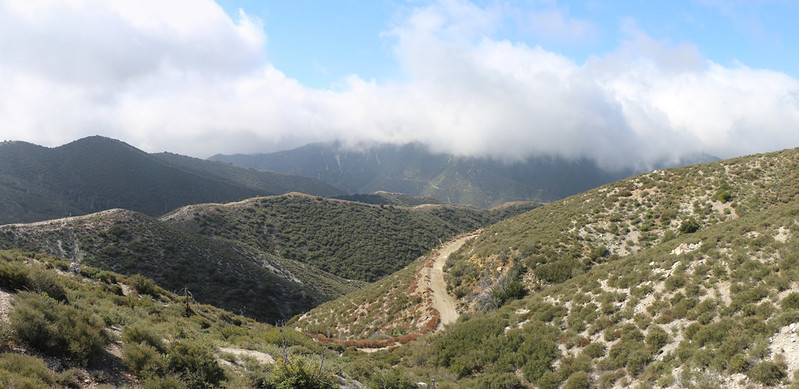
View of Santa Clara Divide Road and Iron Canyon down below, plus Iron Mountain in the clouds across the way
The saddle near PCT mile 434 and Santa Clara Divide Road where the trail drops down on the far, northern side
Panorama view north over Mill Canyon
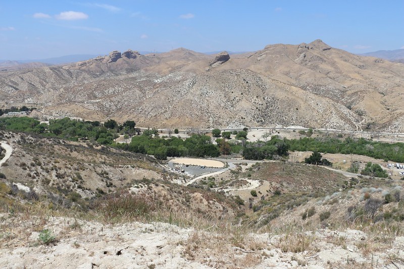
We got our first view of the North Fork Ranger Station - the helicopter pad is on the right
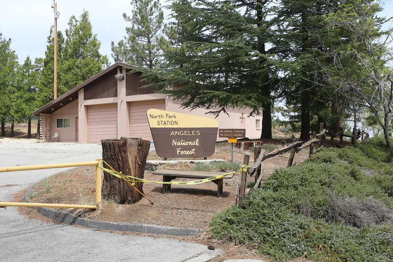
North Fork Ranger Station at the saddle where both Mill Canyon and the North Fork Pacoima Canyon meet
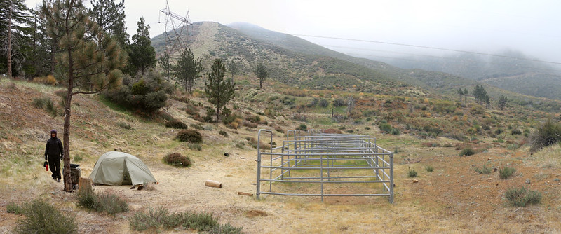
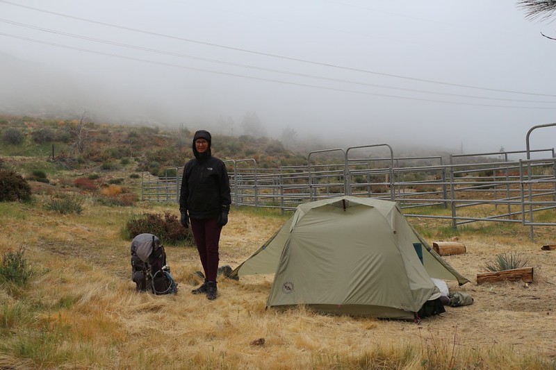
Todd the caretaker let us camp down there by the old horse corrals where it was a bit less breezy
Todd also maintains a water cache for PCT hikers on one of the picnic tables in a day-use area next to the station. Thanks, Todd! We met him, and he said that there really wasn't any water or camping spots for at least four miles in either direction, so the forest service looked the other way when people camped nearby. He said that the station was officially closed, but when something happened, like a wildfire or rescue operation, then suddenly the place was swarming with people. His job was to make sure that it was always ready.
Day 4: North Fork Ranger Station to the Indian Canyon Trailhead
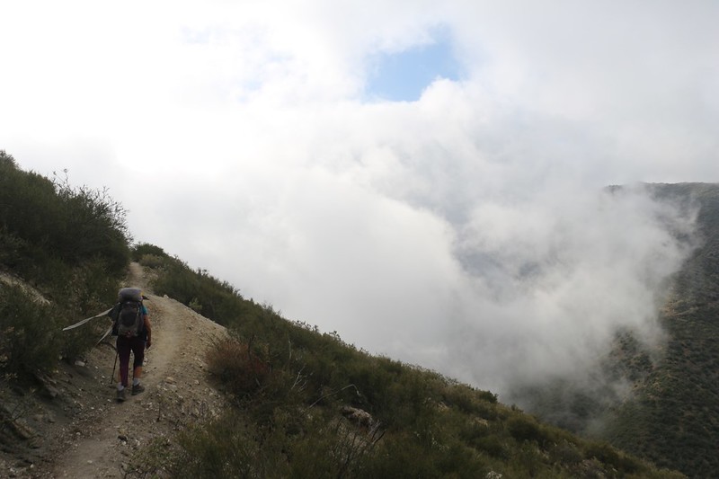
We woke up to a breezy tent that was covered in droplets of mist. Yesterday's clouds had won the battle for the ridge and were now attacking our side directly. It wasn't really raining, but you could smell the moisture in the air. We hung out in the tent with our legs inside the sleeping bag and ate our no-cook breakfast. Then we buckled down, packed everything up as quickly as possible, and headed down the trail.
It was cold and damp that morning and the clouds were everywhere
Panorama shot to the east, with the North Fork Ranger Station on the far right
A swirling puff of cloud made an eddy in front of us
The PCT stopped traversing and began to follow a ridgeline and headed down into Mattox Canyon
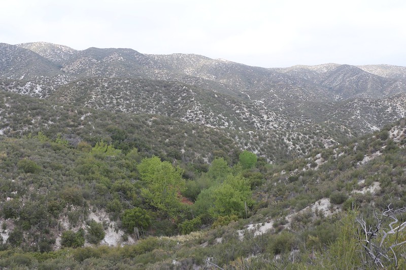
Green trees probably meant water - but we didn't need any. We ate lunch down in the bottom.
Looking south toward where we started that morning, as the clouds started breaking up.
Panorama view north into Soledad Canyon, with Parker Mountain (center)
Looking back south as we crested the ridge - the clouds were almost gone and it suddenly felt hot in the sunshine
We were getting closer to our car down in Soledad Canyon but we still had a mile or so to go
We took a shortcut on that dirt road that led directly to the trailhead.
We started the hike cheating, so we might as well finish it cheating!
We finally came into view of the PCT trailhead parking lot at Soledad Canyon Road
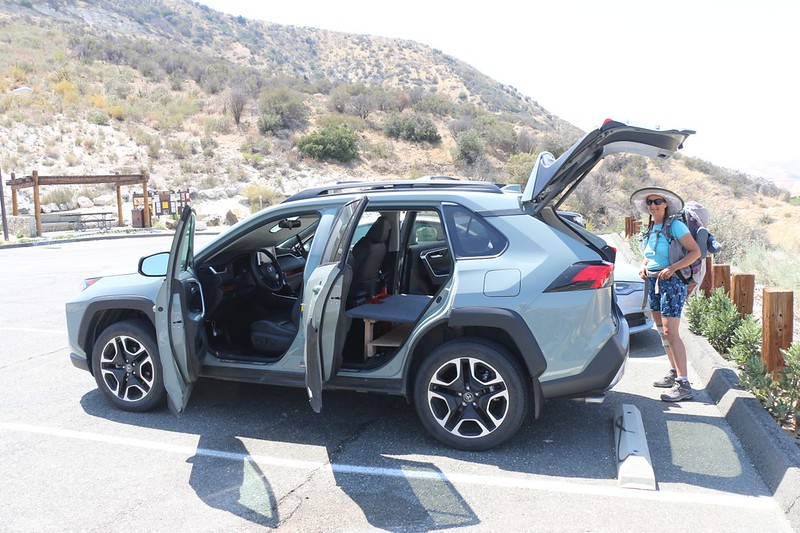
We were happy to be back at our car after four days on the PCT - now it was time for some pizza!
We drove a few miles to Agua Dulce, got some pizza at Big Mouth Pizza (which had a big sign out front that said "Welcome PCT Hikers!"), and drove down to the nearby Vasquez Rocks County Park to eat it. We checked out the rocks, which are pretty cool, then headed back to pick up our other car. Along the way, we decided to finish our hike with a quick visit to the "Golden Spike," which was just across the river and the railroad tracks from our destination trailhead on Soledad Canyon Road.

The Golden Spike - a historical marker near the train tracks at PCT mile 445 where they officially commemorated the completion of the Pacific Crest Trail back in 1993
After that, it was time to head up to the Mill Creek Summit to retrieve our other car. Then we each drove home alone on the long ride back to San Diego. No matter how much fun you have on a trip, it's always good to be back home.
For GPS Tracks and a topo map see my CalTopo Page
For lots more photos and videos see my Flickr Page
Happy hiking!